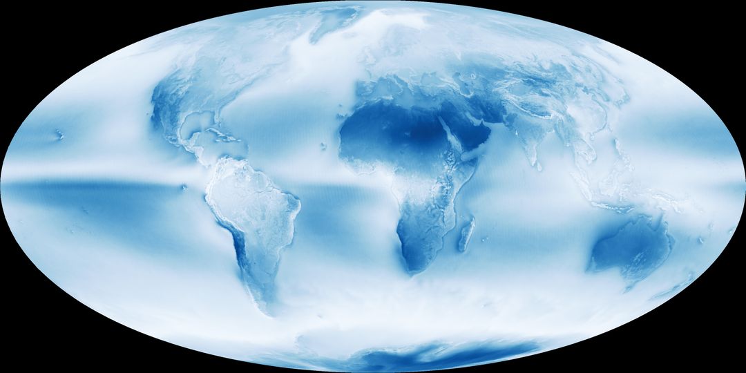
Global Cloud Coverage Map Based on MODIS Data (2002-2015)

This image demonstrates global cloud coverage based on data between July 2002 and April 2015 collected by NASA's Aqua satellite using the MODIS instrument. Clouds are depicted in varying shades of blue and white. This visual tool is ideal for educational materials, presentations on weather patterns, and research in atmospheric sciences, showing the dominant role clouds play in Earth's climate system.
downloads
Credit Photo
If you would like to credit the Photo, here are some ways you can do so
CC0 (Creative Commons Zero)
Free for personal and commercial use.


