
- Home >
- Stock Photos >
- 3d urban map with network of roads on brown design, knoxville concept
3d urban map with network of roads on brown design, knoxville concept Image
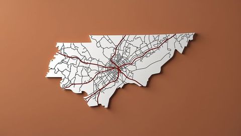
AI Generated Image. Elegant 3D city map cutout showcasing Knoxville's network of highways and roads on a striking brown backdrop, perfect for urban development presentations, infrastructure projects, and topographic studies. The bold contrast enhances analysis and visual clarity, making it ideal for graphic design projects or educational infographics on transportation.
Powered by 


2
downloads
downloads
Tags:
More
Credit Photo
If you would like to credit the Photo, here are some ways you can do so
Text Link
photo Link
<span class="text-link">
<span>
<a target="_blank" href=https://pikwizard.com/photo/3d-urban-map-with-network-of-roads-on-brown-design-knoxville-concept/c720902234a044bb55399e09f1440ef5/>PikWizard</a>
</span>
</span>
<span class="image-link">
<span
style="margin: 0 0 20px 0; display: inline-block; vertical-align: middle; width: 100%;"
>
<a
target="_blank"
href="https://pikwizard.com/photo/3d-urban-map-with-network-of-roads-on-brown-design-knoxville-concept/c720902234a044bb55399e09f1440ef5/"
style="text-decoration: none; font-size: 10px; margin: 0;"
>
<img src="https://pikwizard.com/pw/medium/c720902234a044bb55399e09f1440ef5.jpg" style="margin: 0; width: 100%;" alt="" />
<p style="font-size: 12px; margin: 0;">PikWizard</p>
</a>
</span>
</span>
Free (free of charge)
Free for personal and commercial use.
Author: AI Creator