- Home >
- Stock Photos >
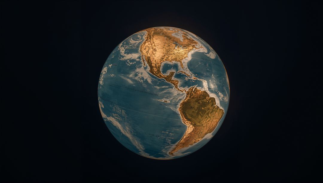
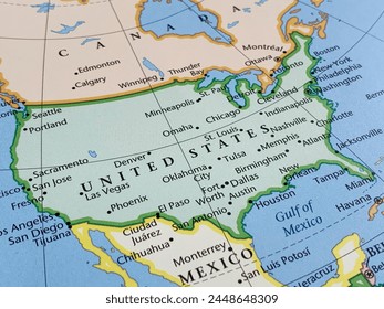
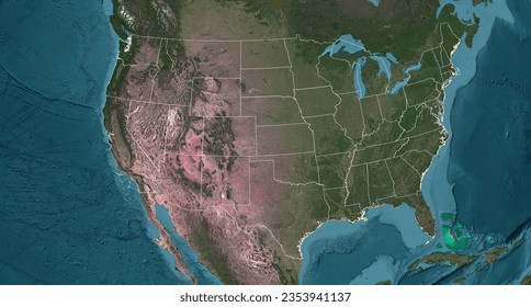
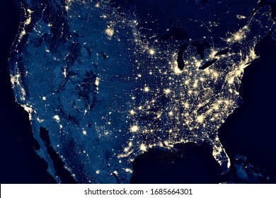
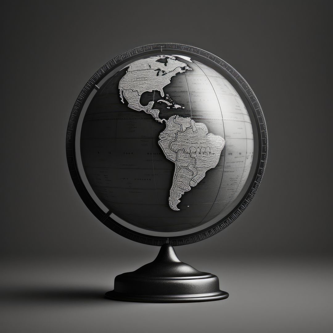
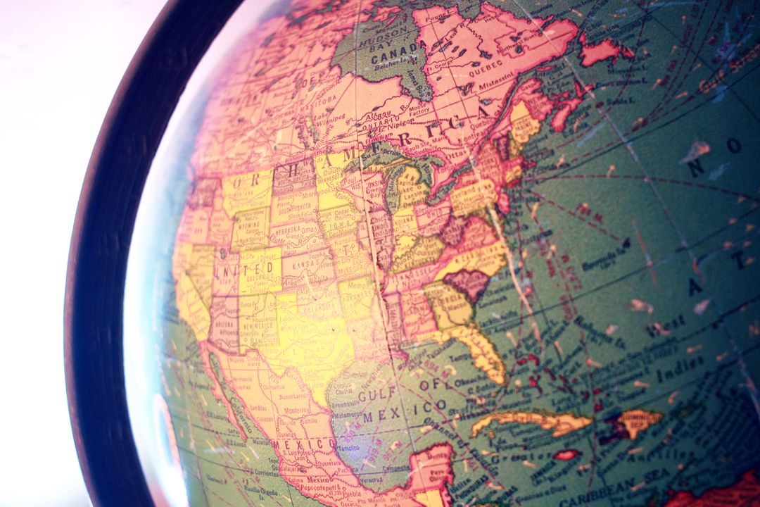
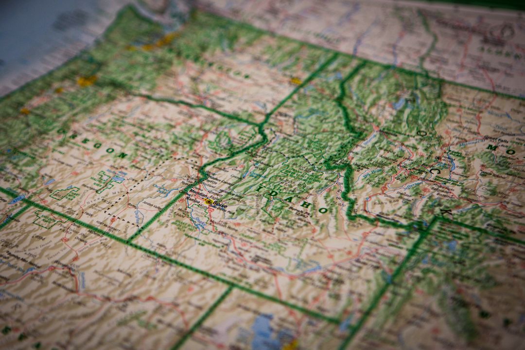
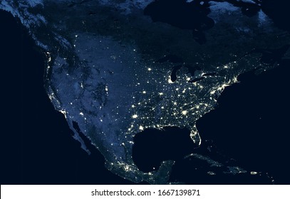
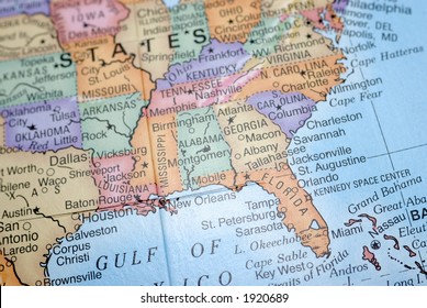
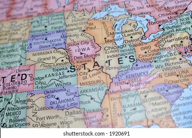
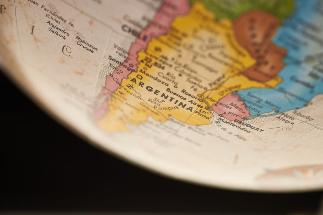
- Close-up vintage globe showing United States map with state boundaries and Gulf of Mexico
Close-up vintage globe showing United States map with state boundaries and Gulf of Mexico Image
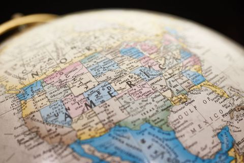
Close-up vintage globe focusing on central United States and Gulf of Mexico, showing state names, borders, and coastal details. Shallow depth of field creating soft blurred edges and strong center focus, lending antique and educational feel. Muted pastel color palette evoking classic atlas style. Ideal for travel blog headers, education materials, geography lessons, history articles, and editorial pieces about US travel or logistics. Working well as background for presentation slides, website banners, brochures, posters, postcards, book covers on exploration or cartography. Easy to crop for wide banner, square social, or print formats. Space available for text overlay in upper left or right areas. Suggest color grading to enhance vintage tones, adding subtle vector overlays for route or infographic visuals, and pairing with serif typography for historical or academic projects.
Powered by  - Get 15% off with code: PIKWIZARD15


Credit Photo
If you would like to credit the Photo, here are some ways you can do so
Text Link
photo Link
<span class="text-link">
<span>
<a target="_blank" href=https://pikwizard.com/photo/close-up-vintage-globe-showing-united-states-map-with-state-boundaries-and-gulf-of-mexico/da1fba1a1f0555e6a7c581eec6d7e198/>PikWizard</a>
</span>
</span>
<span class="image-link">
<span
style="margin: 0 0 20px 0; display: inline-block; vertical-align: middle; width: 100%;"
>
<a
target="_blank"
href="https://pikwizard.com/photo/close-up-vintage-globe-showing-united-states-map-with-state-boundaries-and-gulf-of-mexico/da1fba1a1f0555e6a7c581eec6d7e198/"
style="text-decoration: none; font-size: 10px; margin: 0;"
>
<img src="https://pikwizard.com/pw/medium/da1fba1a1f0555e6a7c581eec6d7e198.jpg" style="margin: 0; width: 100%;" alt="" />
<p style="font-size: 12px; margin: 0;">PikWizard</p>
</a>
</span>
</span>
CC0 (Creative Commons Zero)
Free for personal and commercial use.
Similar Free Stock Images
Premium


Premium


Premium


Premium


Premium


Premium


Premium


Premium


Premium


Premium


Premium


Premium


Premium


Premium


Premium


Premium


Premium


Premium


Premium


Premium


Premium


Premium


Premium


Premium