- Home >
- Stock Photos >
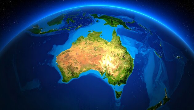
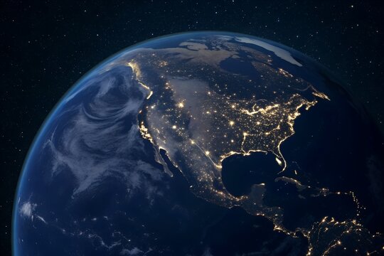
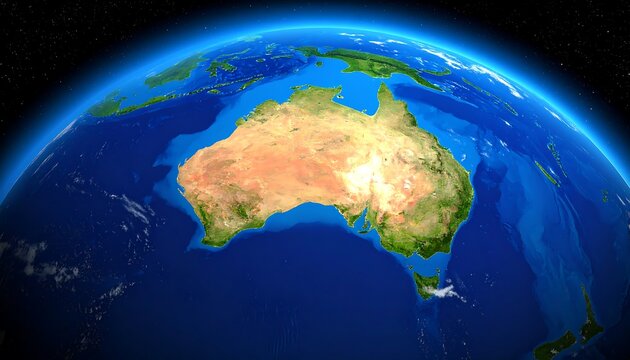
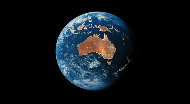
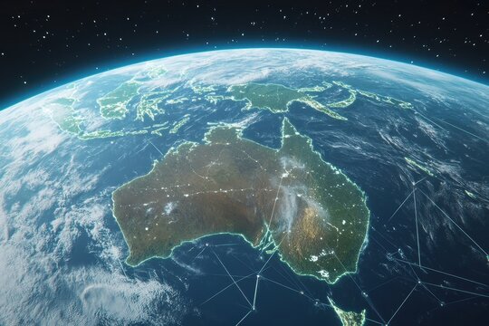
- Detailed Satellite View of Australian Map with Ocean Topography
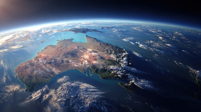
Detailed Satellite View of Australian Map with Ocean Topography Image
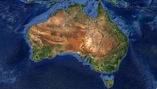
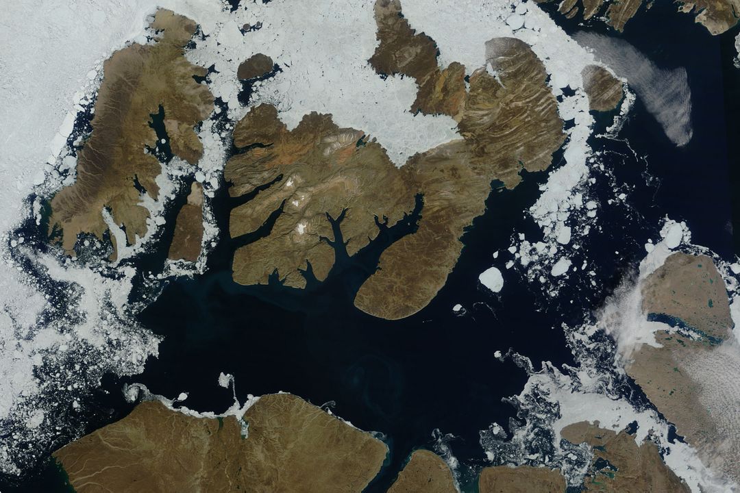
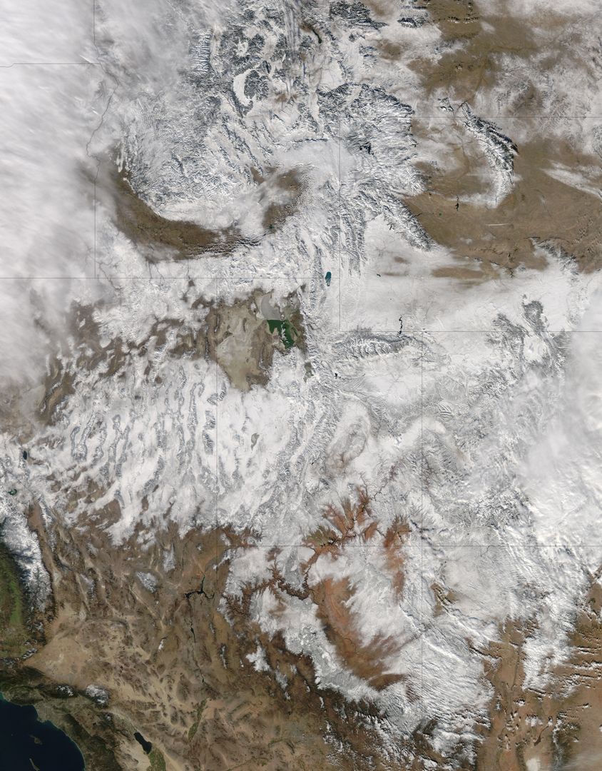
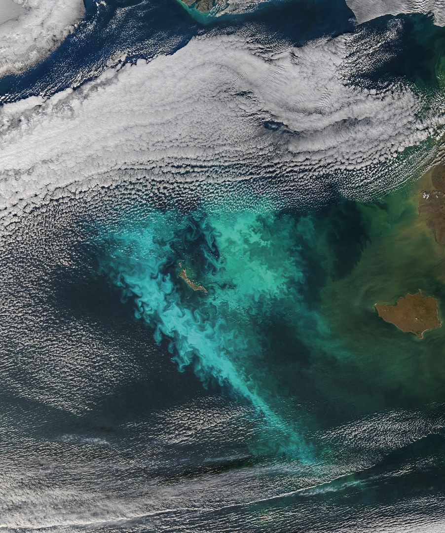
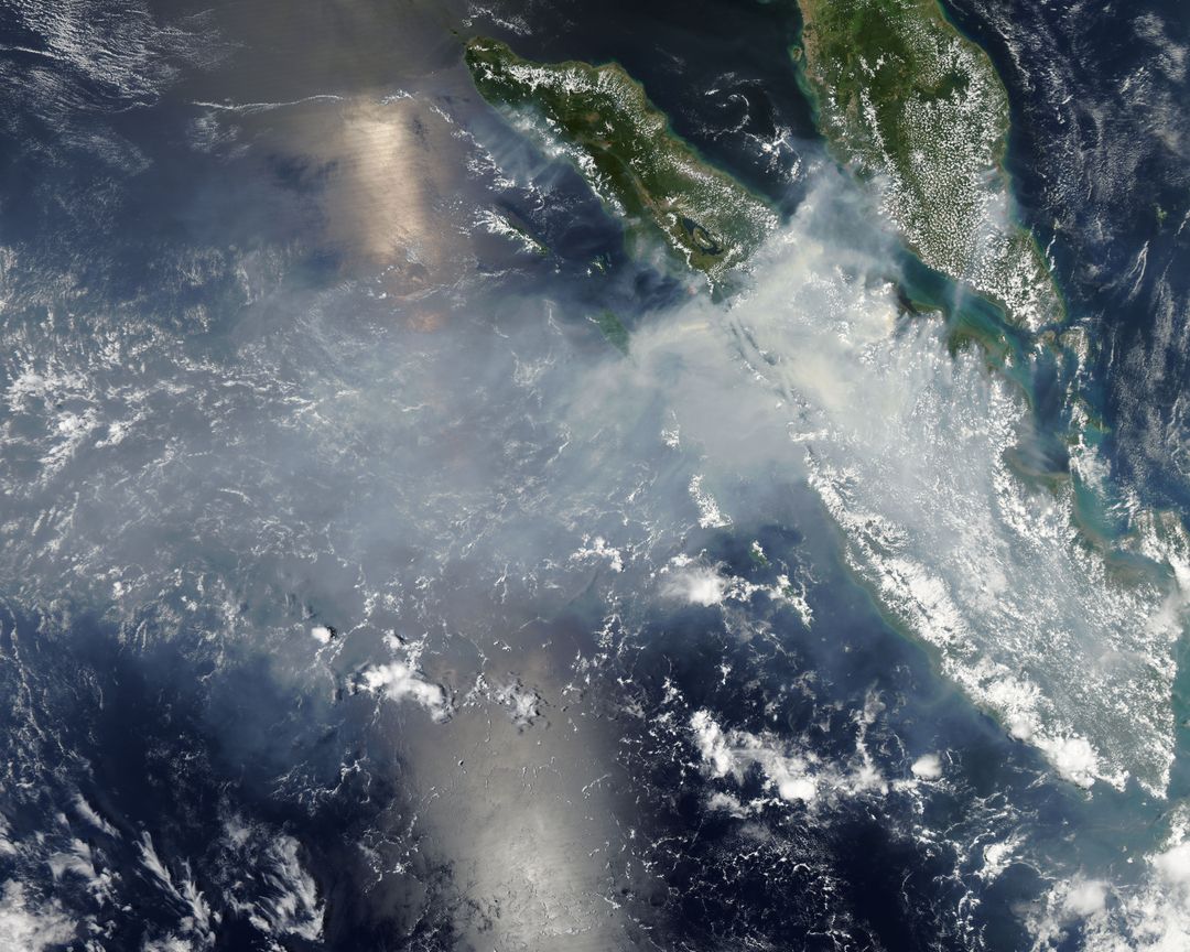
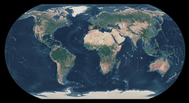
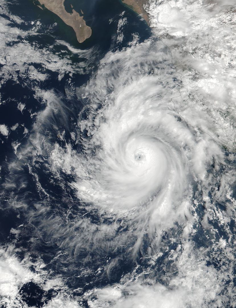
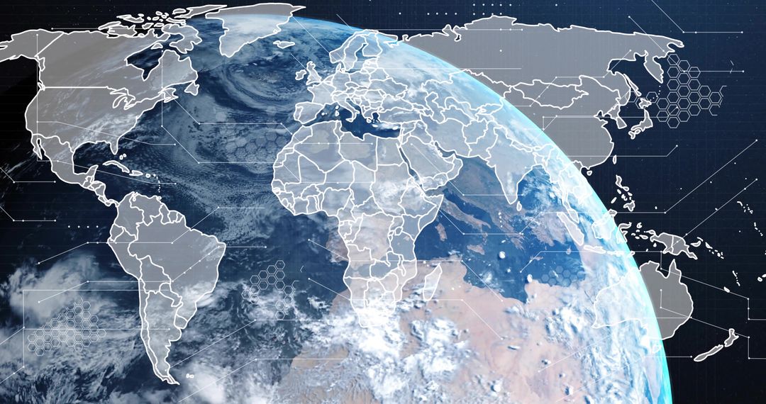
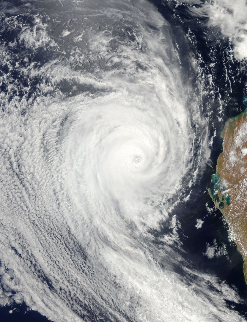
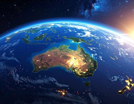
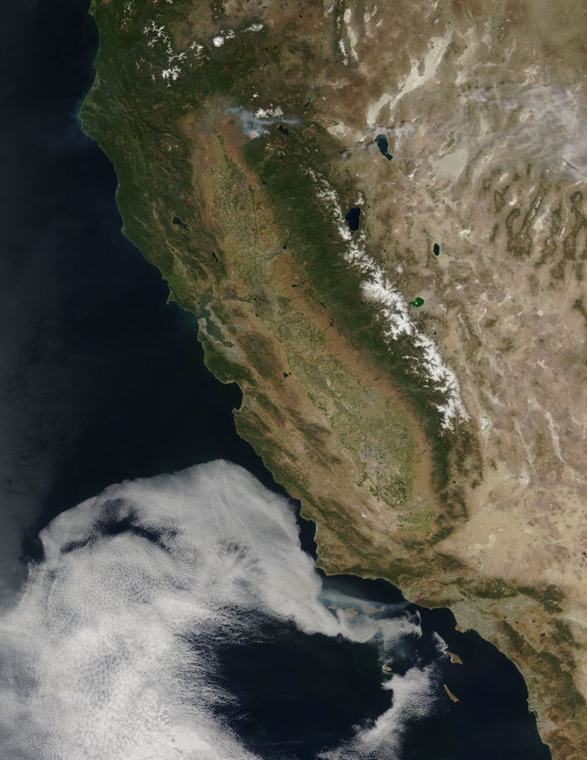
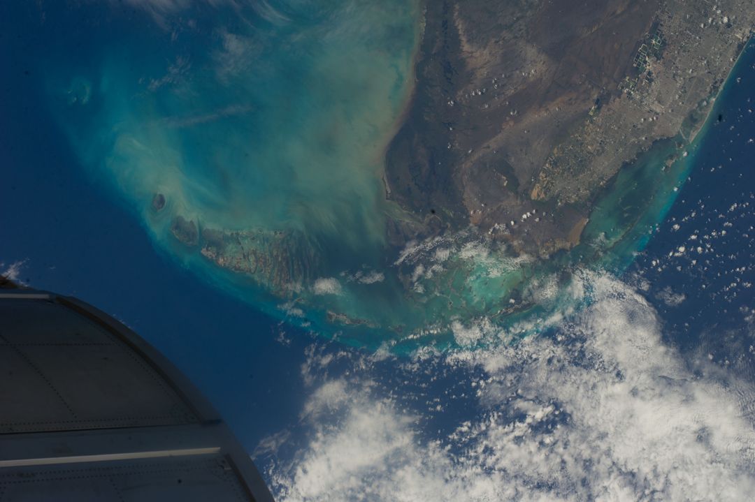
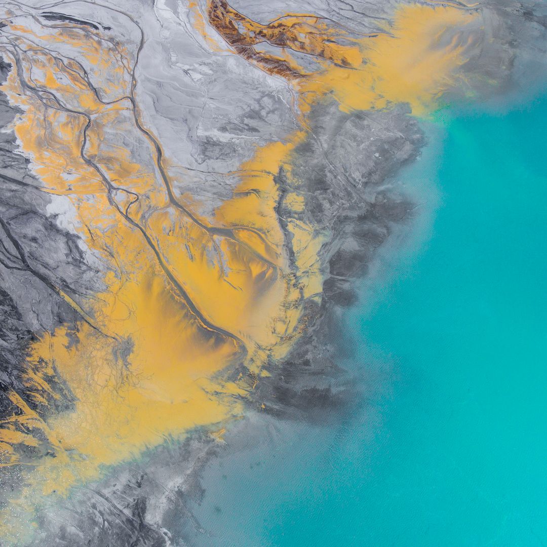
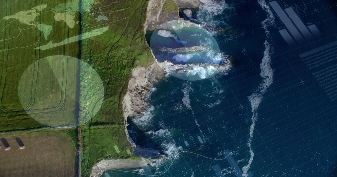
AI Generated Image. This AI-generated image provides a satellite view of Australia, capturing the diverse topography of this continental island nation. It highlights geographic features such as deserts, the Great Dividing Range, and proximity to the Indian Ocean, Pacific Ocean, and Tasman Sea. This detailed visual can be used for educational purposes, scientific presentations, geographical analysis, and in brochures or digital content about Australia's geography and environmental studies.
Powered by 


0
downloads
downloads
Tags:
More
Credit Photo
If you would like to credit the Photo, here are some ways you can do so
Text Link
photo Link
<span class="text-link">
<span>
<a target="_blank" href=https://pikwizard.com/photo/detailed-satellite-view-of-australian-map-with-ocean-topography/ff72bc68e5d2d23c56ed46a7fd3c362a/>PikWizard</a>
</span>
</span>
<span class="image-link">
<span
style="margin: 0 0 20px 0; display: inline-block; vertical-align: middle; width: 100%;"
>
<a
target="_blank"
href="https://pikwizard.com/photo/detailed-satellite-view-of-australian-map-with-ocean-topography/ff72bc68e5d2d23c56ed46a7fd3c362a/"
style="text-decoration: none; font-size: 10px; margin: 0;"
>
<img src="https://pikwizard.com/pw/medium/ff72bc68e5d2d23c56ed46a7fd3c362a.jpg" style="margin: 0; width: 100%;" alt="" />
<p style="font-size: 12px; margin: 0;">PikWizard</p>
</a>
</span>
</span>
Free (free of charge)
Free for personal and commercial use.
Author: AI Creator
Similar Free Stock Images
Premium


Premium
Premium

Premium


Premium


Premium


Premium
Premium

Premium

Premium


Premium


Premium


Premium
Premium

Premium


Premium


Premium


Premium


Premium
Premium
Premium


Premium


Premium


Premium