1. Home > 
  2. Stock Photos > 
  3. Elevated Geography Analysis: Neon Territories from Space

Elevated Geography Analysis: Neon Territories from Space Image

Elevated Geography Analysis: Neon Territories from Space

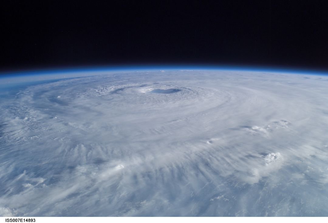
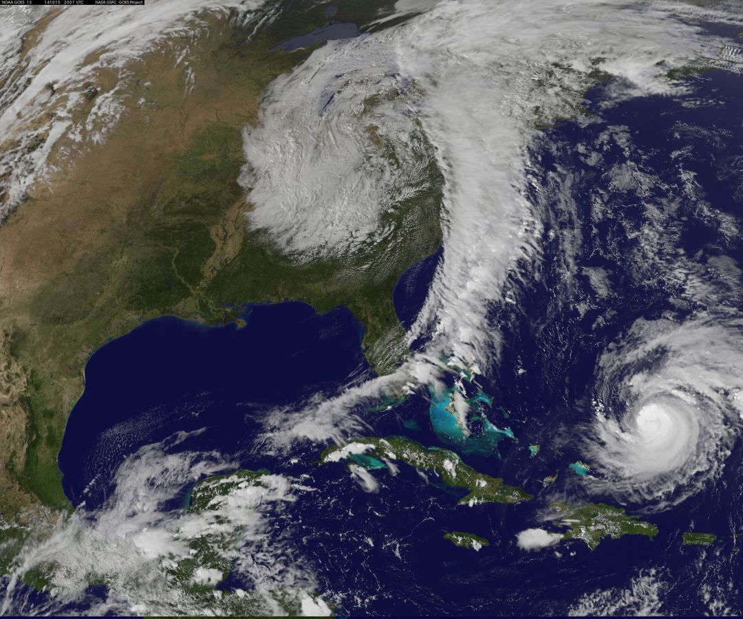
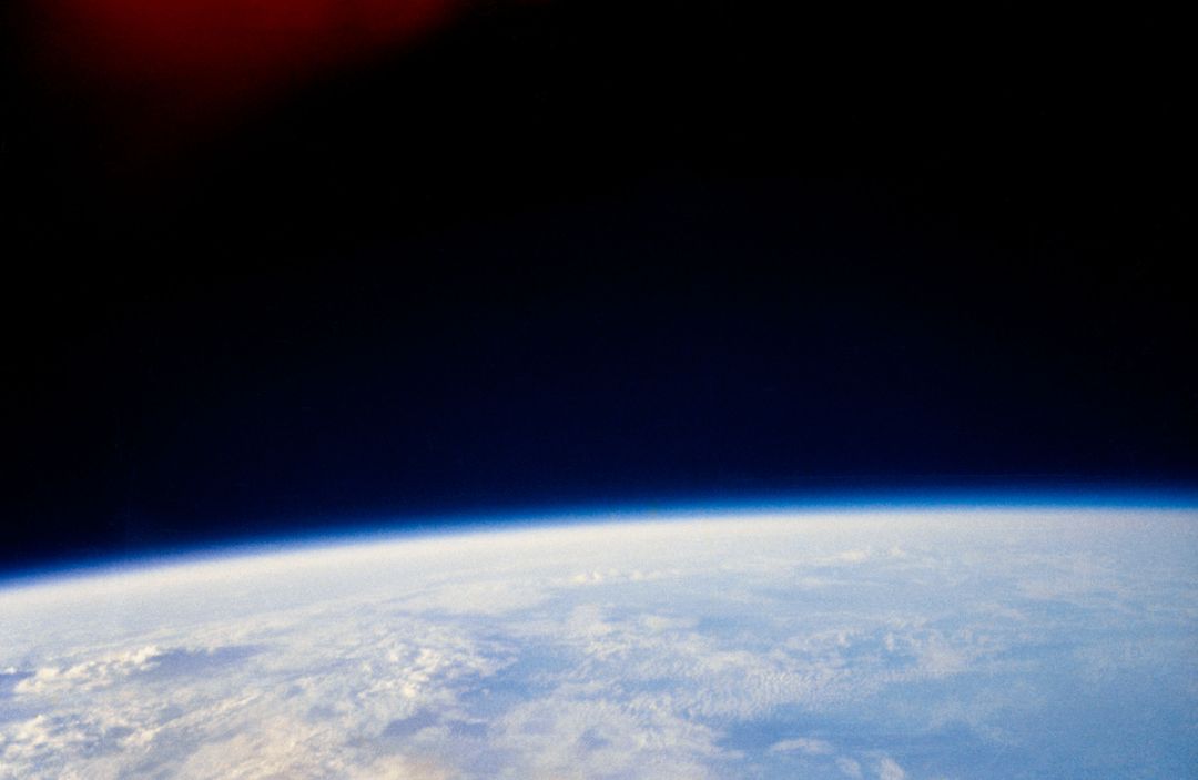
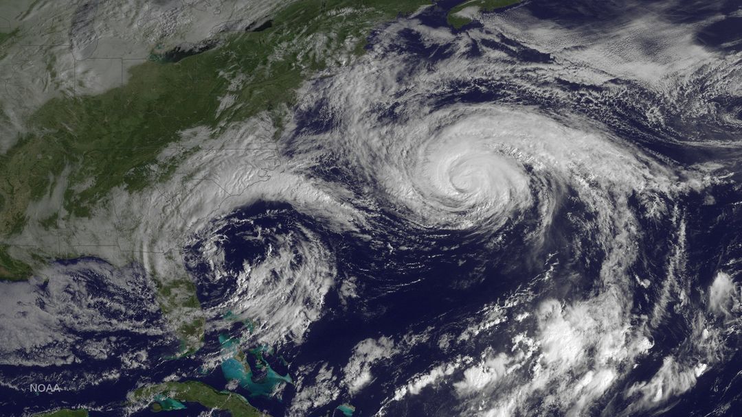
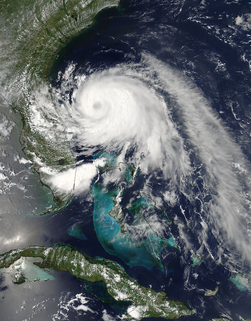
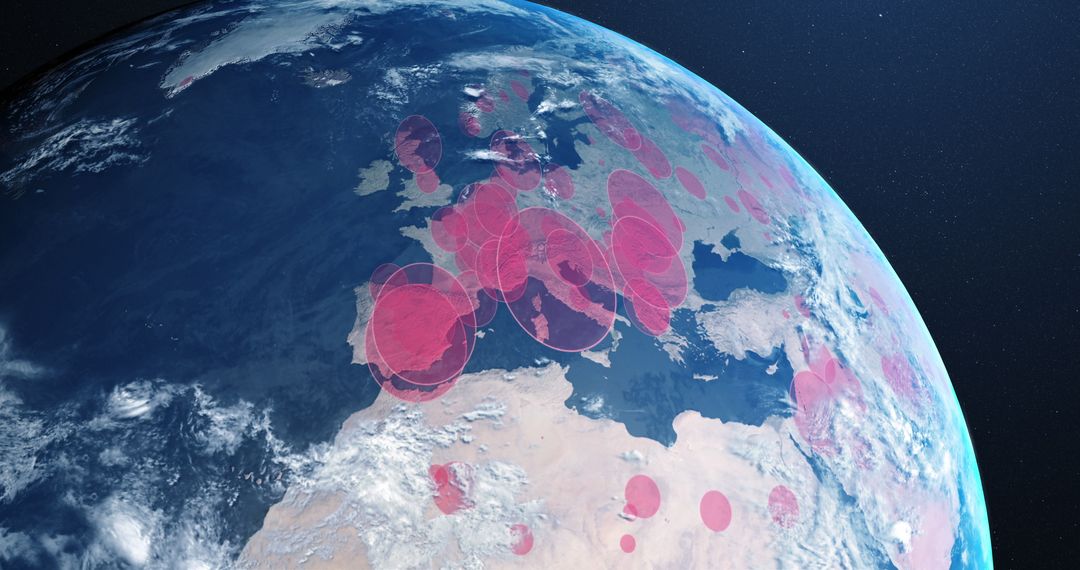
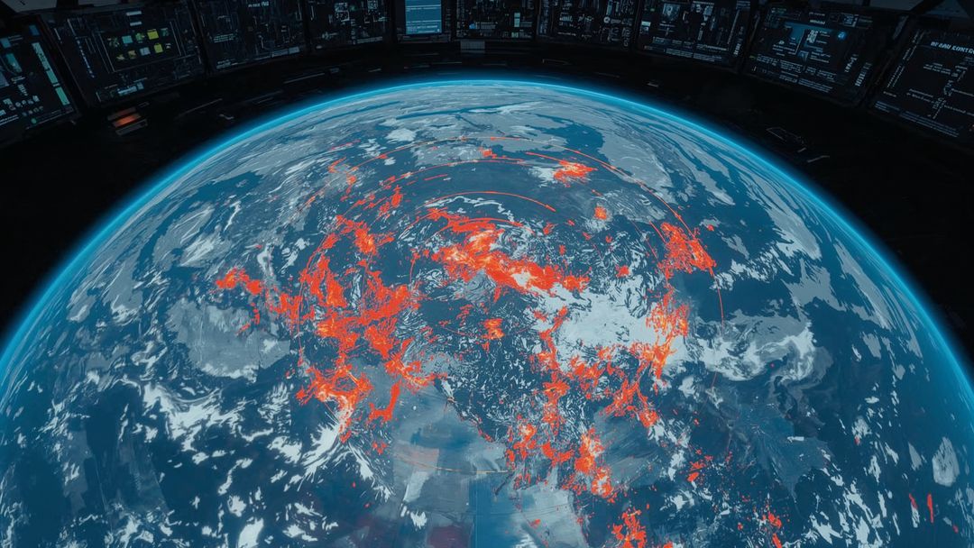
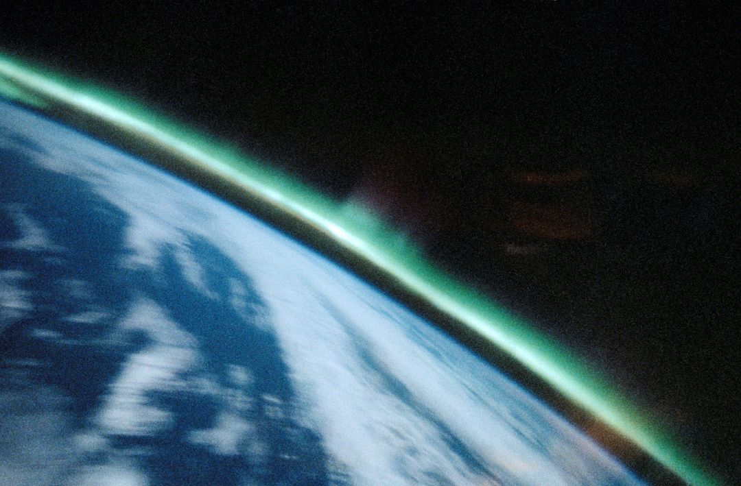
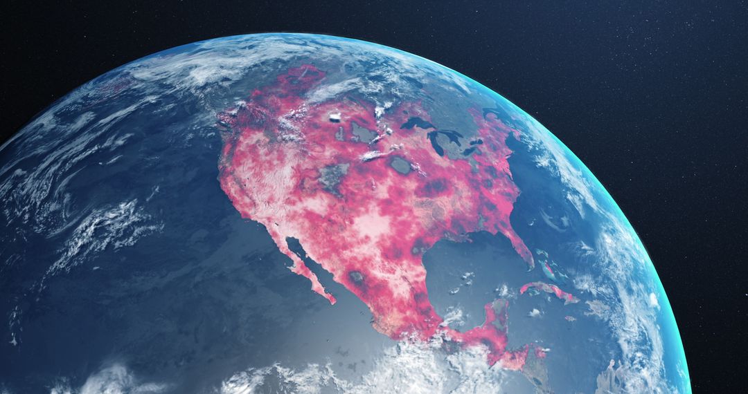
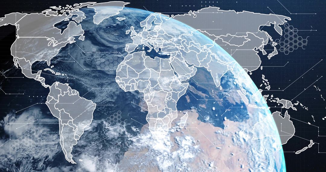
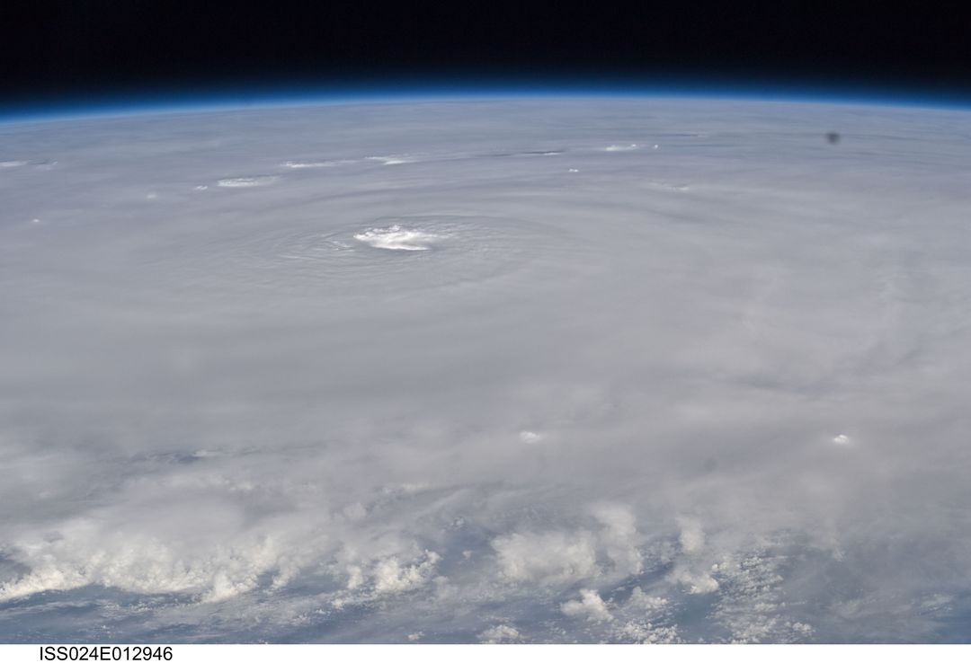
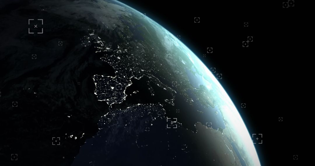
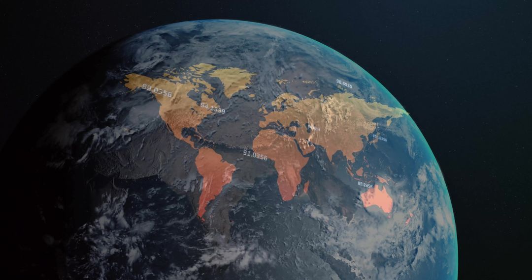
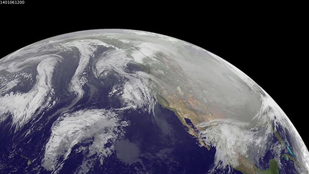
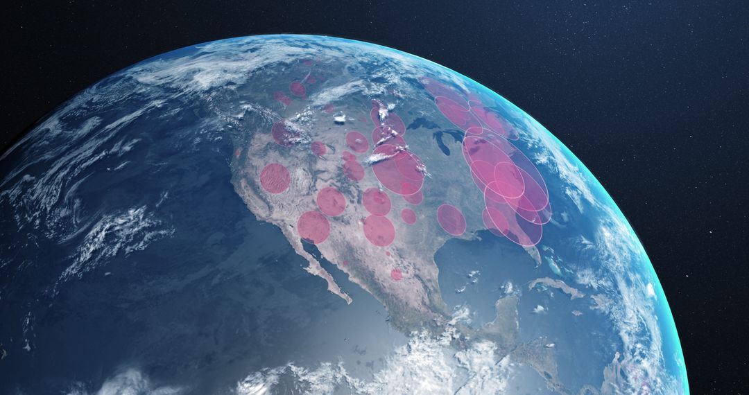
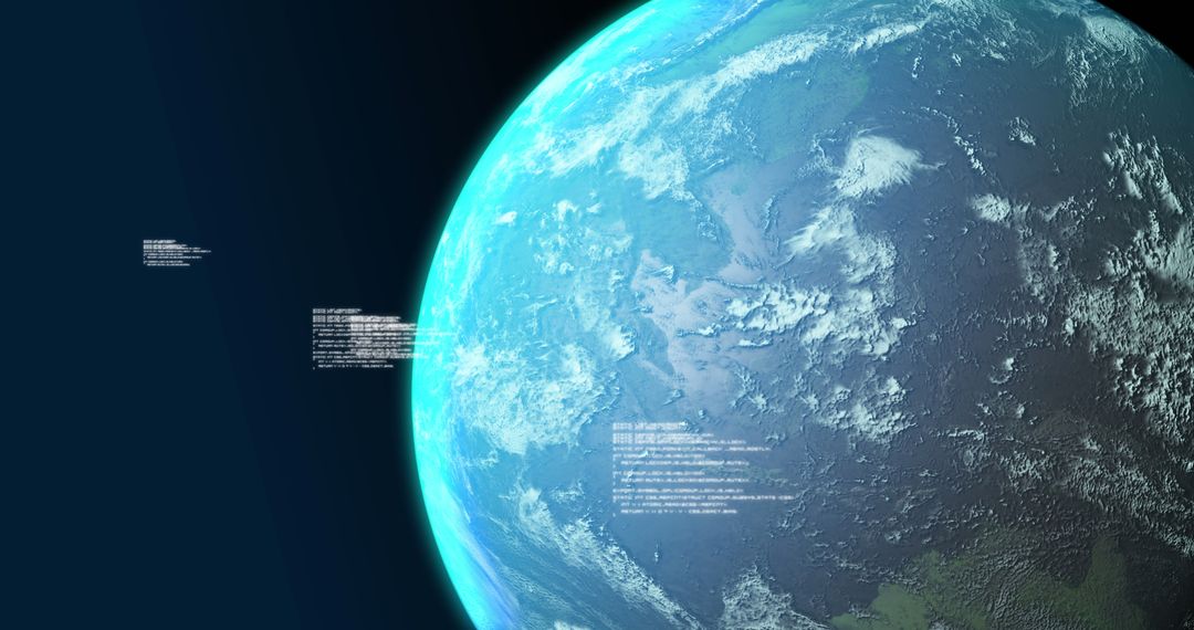
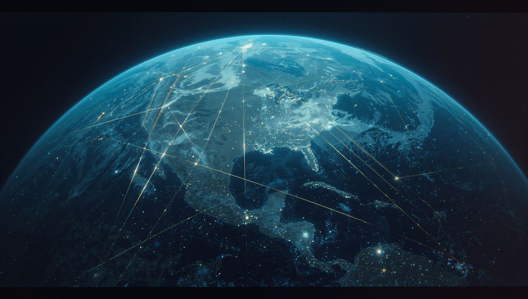
AI Generated Image. Visualization of neon green overlay highlighting regions above Earth's horizon creates an intriguing depiction of satellite analysis. Essential for astronomy presentations, geographic exploration tools, and discussions on environmental or technological visualization, this scene imaginatively represents data coverage from space.

Credit Photo

If you would like to credit the Photo, here are some ways you can do so

Free (free of charge)

Free for personal and commercial use.

Author: AI Creator

Similar Free Stock Images

Aerial view of hurricane isabel from international space station in 2003
Earth's Limb at Sunset Captured from Space Station in 2001
Earth from Space 1962 Captured by John Glenn during Mercury Atlas 6 Mission
Stunning Earth Night View from Space Showing Europe with City Lights
Category 4 Hurricane Gonzalo Over Atlantic Ocean in 2014
View of Earth from Space with Cloud Formations over Indian Ocean, Taken During Mercury Atlas 6 Missi
Hurricane Joaquin in Atlantic Ocean North of Bermuda Seen from Space Oct 5, 2015
Satellite View of Tropical Storm Arthur with Cloud-Covered Eye
Hurricane Dora Visible from Satellite June 2023 Near Baja California
View of Hurricane Frances and Caribbean Islands from International Space Station
Aerial View of Earth from Space Showing Stunning Land and Water Bodies
Spinning Globe Illustrating Global Spread of COVID-19 Pandemic
Planet Earth Glowing from Space in Night Transition
Planet Earth From Space Featuring North America
Digital Data Networking Around Earth
Earth from Space at Night with City Lights and Starry Sky
Digital Interface World View with Interactive Icons
Futuristic Holographic Globe Visualization in High-Tech Control Room
Stunning View of Himalayan Peaks and Coastal Plains from Orbit
Digital Earth with Network Connectivity Featuring City Lights and Data Links
View of Sunrise on Yonder Planet Horizon with Ocean in Space
Earth from Space Showcasing Global Connectivity and Technology
Planet Earth From Space With Rotating Atmospheric Clouds
Framing Earth from Cupola Window, Revealing Atmospheric Limb, Cloud Swirls, Ocean Bands
Global Digital Network at Night Showing Connected Cities, Mesh Grid and Glowing Horizon
Satellite view of Tropical Storm Danielle over ocean surface
North Atlantic Ocean from Space with Sunglint Reflections, June 1982
Satellite View of Typhoon Josie South of Madagascar 1997
Earth at Night from Space Showing City Lights and Stars
Category 5 Hurricane Ivan from International Space Station, 2004
Oblique View of Florida Peninsula, STS-95 Mission NASA
Himalayas and Karakoram Range from Space, October 1984
Aurora Australis from Space Shuttle Discovery
Earth at Night from Space with City Lights
Massive Cyclone Forming Over Earth Captured from Space
Swirling Storm Systems Over Pacific Ocean Captured from Space
Global Spread of Covid-19 Represented on Rotating Earth
Planet Earth Viewed from Outer Space
Half-Earth in Dawn Light Viewed from Space
Digital Earth with Cyber Network Overlay in Blue Tones
Global Network Grid with Futuristic Digital Interface
Digital Data Streams Flowing Over Earth's Surface
Earth with Digital Global Network Icons Linking Nodes
Satellite Orbiting Earth with Dual Solar Panels
Icy Planet Covered in Craters Displaying Mysterious Terrain
Earth from Space Showing Glowing Network Connectivity Across Cities
High-Tech Rotating Earth with Digital Borders and Data Nodes
Neon Circuit Sphere Orbiting Earth Horizon Futuristic AI Satellite Above Planet
Curved Earth Horizon Through Spacecraft Cupola Showing Atmospheric Glow and Cloud Swirls
Neon-Blue Global Network Over Earth From Low Orbit Showing Connected Continents
Hurricane Ivan Viewed from International Space Station in 2004
Stunning Sunrise Over Earth from Space with Starry Sky
Hurricane Ivan Seen from International Space Station in 2004
Satellite View of Smoke and Haze from Fires in Sumatra, March 2014
Hurricane Frances View from ISS East-Southeast of West Palm Beach 2004
Satellite Image of Hurricane Lowell Over Pacific Ocean
Earth from Space Showing Snow-Covered Mountains and Oceans Horizon
NOAA GOES-East captures frigid cold over eastern US and Atlantic, Nov 18, 2014
Smoke from Wildfires over Hudson Bay as Seen from Space
Hurricane Earl Aerial View from Space Station August 30 2010
NOAA GOES-East Satellite Image of Mid-Atlantic Showing Weather Before Moon Mission Launch
Digital Data Processing on Worldwide Network Globe
Planet Earth from Space with Cloudy Atmosphere
Earth from Space with Clouds and Atmosphere View
6G Technology Concept with Globe and Digital Interface
Earth From Space: City Lights Peeking Through Global Darkness
Digital Data Visualization on Globe in Space Environment
Stunning Low Earth Orbit View of Farmland and Clouds
Majestic Eye of Hurricane Observed from Space
Earth from Space with Glowing Night Lights and Atmosphere
Space Satellite Orbiting Earth Showing Horizon and Night Lights
Earth from Space with Futuristic Binary Overlay
Sun Rising Over Earth from Low Orbit Showing Blue Atmospheric Halo and City Lights
Orbital Porthole Framing Curved Earth Horizon with Cloud Swirls and Atmosphere Glow
Curved Earth limb glowing at terminator from orbit with vivid airglow and twilight horizon
Cyclone Seen from International Space Station Over Southern Pacific
Satellite View of Hurricane Fred Near Cape Verde Islands, August 2015
Polar Vortex Impact on North America Seen from Space
Tropical Cyclone Bianca Over Western Australia Coastline Captured from Space
Satellite View of Tropical Storm Toraji Impacting Japan, September 2, 2013
Hurricane Dora Forming Over Eastern Pacific Ocean Viewed from Satellite
Tropical Storm Miriam Off Baja California Captured by NOAA's GOES-15 Satellite
NASA Satellite Captures Hurricane Joaquin over Atlantic Ocean
Earth's Atmosphere from Space with Cloudy Surface
Aerial view of Hurricane Gonzalo approaching Bermuda
Digital Render of COVID-19 Global Spread on Spinning Globe
Digital Globe and Data Streams, Technology Concept
View of Earth from Space with Atmosphere and Clouds
Revolving Earth and Bright Sun in Outer Space
Digital Financial Data Overlay on Planet Earth
Earth with Business Data Visualization Infographic Overlay
Breaking news: powerful hurricane forming over atlantic with distinct eye
Curved Earth Horizon from Space Over verdant Terrain
Stylized Global Network Visualization with City Lights from Space
Futuristic Digital Earth with Glowing Connectivity Networks
Interconnected Digital Earth with City Lights and Data Network
Planet Earth from Space with Cloud Patterns and Atmosphere
Orbiting sunrise over Earth revealing glowing global network and futuristic connections
Glowing Digital Earth Mapping Global Network Connections with Neon Continental Mesh
Rotating Tropical Cyclone from Orbit Revealing Clear Eye, Eyewall and Spiral Rainbands