- Home >
- Stock Photos >
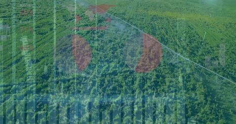
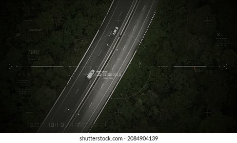
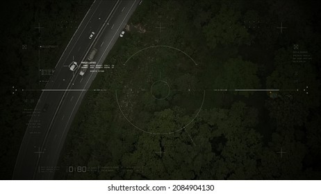
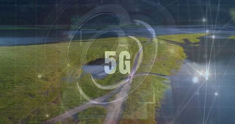
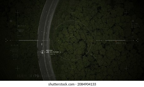
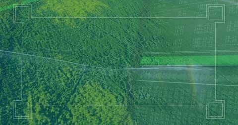
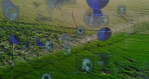
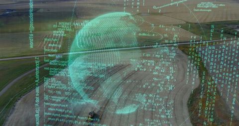
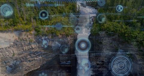
- Futuristic Aerial Surveillance with Holographic Elements Over Forest
Futuristic Aerial Surveillance with Holographic Elements Over Forest Image
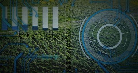
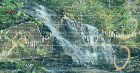
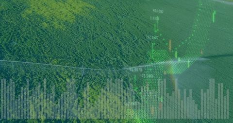
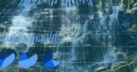
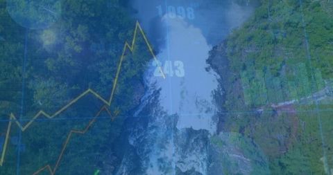
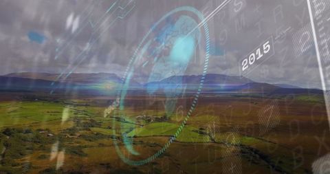
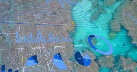
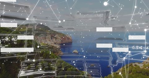
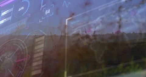
This visual depicts advanced technology with holographic and radar overlay effects seen over a dense forest canopy. It offers a modern, innovative perspective on surveillance and data visualization, combining natural and technological themes. Ideal for use in projects exploring advanced technological themes, future innovations in aerial surveillance, and ecological data monitoring techniques.
Powered by  - Get 15% off with code: PIKWIZARD15


0
downloads
downloads
Tags:
More
Credit Photo
If you would like to credit the Photo, here are some ways you can do so
Text Link
photo Link
<span class="text-link">
<span>
<a target="_blank" href=https://pikwizard.com/photo/futuristic-aerial-surveillance-with-holographic-elements-over-forest/a5b81894d537a665da30ec3cf8c468da/>PikWizard</a>
</span>
</span>
<span class="image-link">
<span
style="margin: 0 0 20px 0; display: inline-block; vertical-align: middle; width: 100%;"
>
<a
target="_blank"
href="https://pikwizard.com/photo/futuristic-aerial-surveillance-with-holographic-elements-over-forest/a5b81894d537a665da30ec3cf8c468da/"
style="text-decoration: none; font-size: 10px; margin: 0;"
>
<img src="https://pikwizard.com/pw/medium/a5b81894d537a665da30ec3cf8c468da.jpg" style="margin: 0; width: 100%;" alt="" />
<p style="font-size: 12px; margin: 0;">PikWizard</p>
</a>
</span>
</span>
Free (free of charge)
Free for personal and commercial use.
Author: Creative Art
Similar Free Stock Images

Premium


Premium


Premium


Premium


Premium


Premium


Premium


Premium


Premium


Premium


Premium


Premium


Premium


Premium


Premium


Premium


Premium


Premium


Premium


Premium


Premium


Premium


Premium


Premium


Premium