
- Home >
- Stock Photos >
- Open Atlas Showing Detailed Map of the United States
Open Atlas Showing Detailed Map of the United States Image
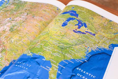
This map focuses on the detailed layout and geographical boundaries of the United States. Ideal for use in educational settings to teach geography, illustrate physical features, and aid in geography-related educational projects. It can also be utilized by travel enthusiasts for planning trips across the U.S.
Powered by 


Credit Photo
If you would like to credit the Photo, here are some ways you can do so
Text Link
photo Link
<span class="text-link">
<span>
<a target="_blank" href=https://pikwizard.com/photo/open-atlas-showing-detailed-map-of-the-united-states/1aed11b539c289cc4a03eb1209cd88db/>PikWizard</a>
</span>
</span>
<span class="image-link">
<span
style="margin: 0 0 20px 0; display: inline-block; vertical-align: middle; width: 100%;"
>
<a
target="_blank"
href="https://pikwizard.com/photo/open-atlas-showing-detailed-map-of-the-united-states/1aed11b539c289cc4a03eb1209cd88db/"
style="text-decoration: none; font-size: 10px; margin: 0;"
>
<img src="https://pikwizard.com/pw/medium/1aed11b539c289cc4a03eb1209cd88db.jpg" style="margin: 0; width: 100%;" alt="" />
<p style="font-size: 12px; margin: 0;">PikWizard</p>
</a>
</span>
</span>
CC0 (Creative Commons Zero)
Free for personal and commercial use.