1. Home > 
  2. Stock Photos > 
  3. UAV Drone Mapping in Desert Terrain with Data Overlays

UAV Drone Mapping in Desert Terrain with Data Overlays Image

UAV Drone Mapping in Desert Terrain with Data Overlays

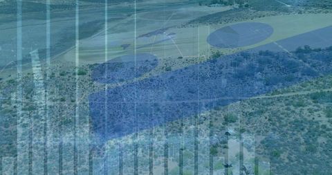
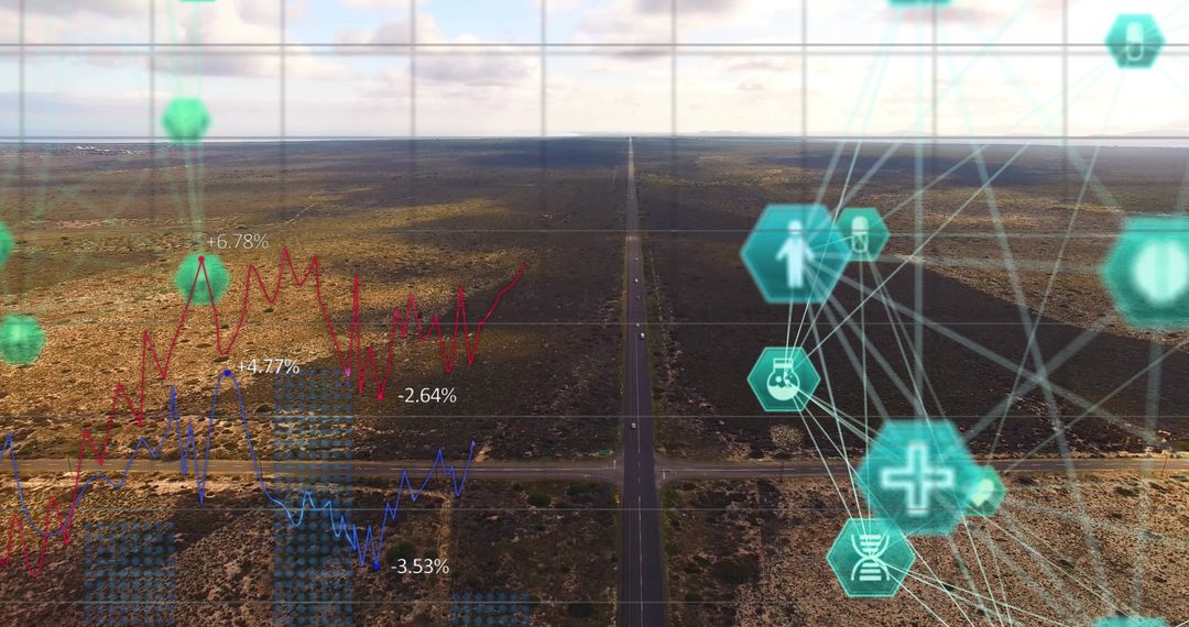
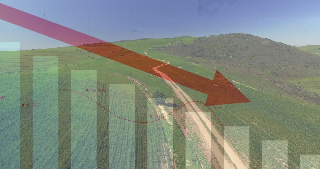
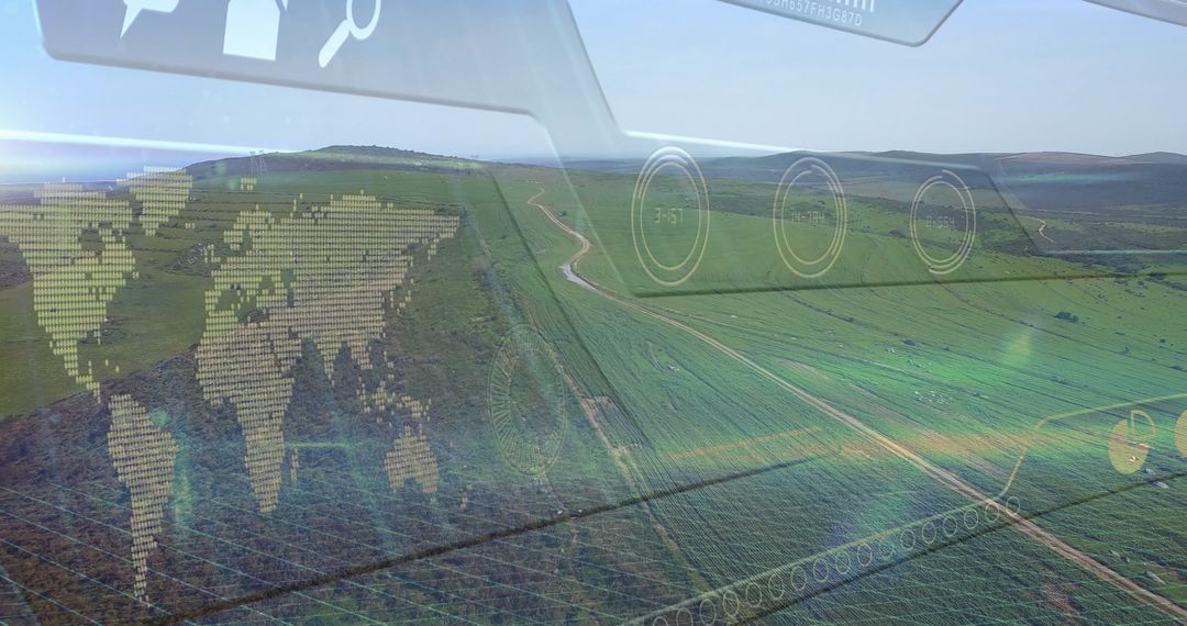
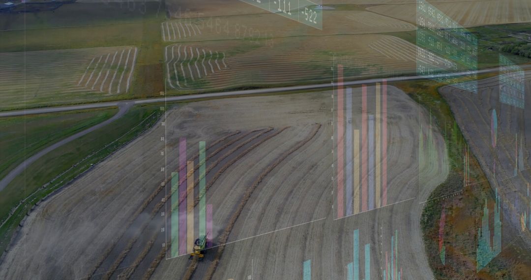
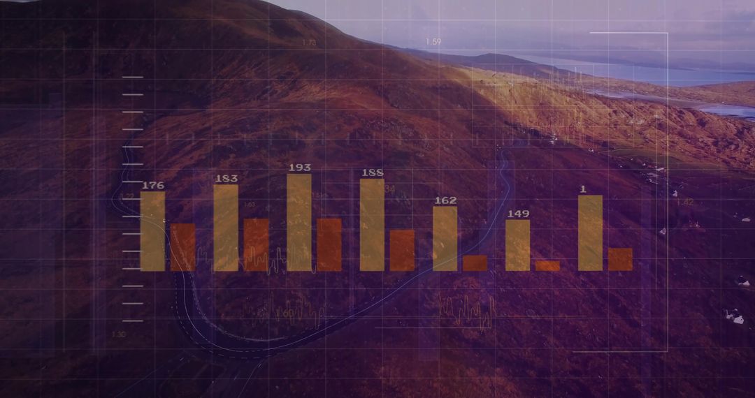
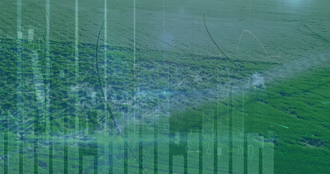
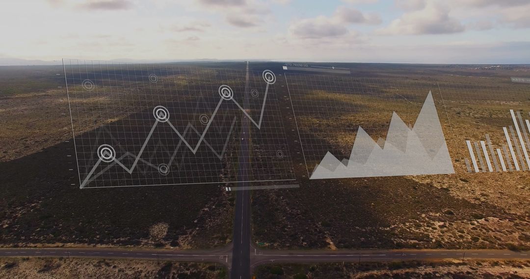
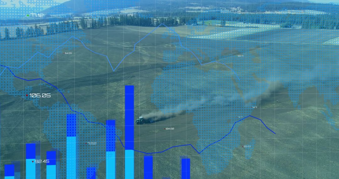
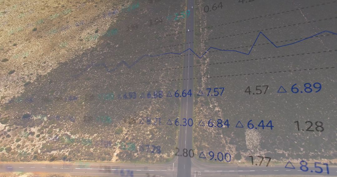
This image illustrates the integration of UAV drone technology in desert terrain analysis. It features mapped flight paths and landing zones, demonstrating the utility of real-time analytics and telemetry in surveilling arid environments. Ideal for presentations on modern airmapping practices, technological advancements in cartography, or innovations in geospatial data acquisition.

Powered by Shutterstock logo - Get 15% off with code: PIKWIZARD15
Tactical UAV Encryption Module Encrypts drone telemetry and command signals. integrated circuits ICs - Powered by Shutterstock - Get 15% off with code: PIKWIZARD15Displaying arid scrubland with data bars, yellow flight paths and blue landing pads over desert. Survey, analytics, telemetry, uav, drone, mapping, technology - Powered by Shutterstock - Get 15% off with code: PIKWIZARD15A spare radio component, a gimbal with Hall sensors, for a multifunctional universal radio remote control for UAV drones and radio-controlled quadcopters. - Powered by Shutterstock - Get 15% off with code: PIKWIZARD15A spare radio component, a gimbal with Hall sensors, for a multifunctional universal radio remote control for UAV drones and radio-controlled quadcopters. - Powered by Shutterstock - Get 15% off with code: PIKWIZARD15Hovering white quadcopter showing gimbal and four propellers over tree line, teal HUD grid. Drone, uav, aerial, telemetry, dusk, forest, moody - Powered by Shutterstock - Get 15% off with code: PIKWIZARD15

Credit Photo

If you would like to credit the Photo, here are some ways you can do so

Free (free of charge)

Free for personal and commercial use.

Author: Awesome Content

Similar Free Stock Images

Financial Data Visualization Overlaying Urban Aerial View
Premium
Drone telemetry system isolated on the gray background
Global Digital Interface with Data and Connections
Global Business Analytics with World Map Overlay
Digital Composite of Financial Charts Over Wind Turbines
Digital Interface Over Nature with Data Visualization Concept
Premium
A drone ground control station with transmitter case set up at a table in an autumn landscape, ready for operator use.
Digital Interface and Wind Turbines on Sustainable Landscape
Dynamic Data Processing Concept in Futuristic City Skyline
Digital Graph Overlay with Cityscape Background
Urban Skyline with Financial Volatility and Lightning Bolt
Premium
Woman pointing finger to drone at port marina beside boats wearing orange safety vest holding quadcopter; confidence innovation.
Sustainable Agriculture Meets Financial Data Metrics
Global Technology and Data Processing Over World Map
Cybersecurity and Data Protection in a Digital Network Environment
Worker Analyzing Construction Site with Digital Data Overlay
Premium
A storage facility for all downed, landed and electronically jammed drones, which are dismantled and studied
Hybrid View of Financial Graphics Over Modern Cityscape
Digital Financial Data with Charts and Trend Analysis
Futuristic Global Map with Data Analytics Overlay
Global Data Visualization Over Countryside Landscape
Premium
The 2.1.5 Multi Motor LCD Flight Controller manages multi-rotor drones with an LCD for easy setup and monitoring. It supports GPS, auto flight modes, real-time telemetry, and sensor data processing.
Intricate Mathematical Equations and Data Visualization on Chalkboard
Advanced Mapping Technology Over Agricultural Landscape
Aerial Forest Canopy Overlay with Digital Data Visualization
Data Visualization Overlay on Rural Stone Tower and Grassland
Premium
Unmanned aerial vehicle controlled remotely drone used for various purposes such as aerial photography military recreational mapping surveillance delivery due to their ability to reach difficult areas
Futuristic Aerial View of Ocean Waves with Digital Tech Overlay
Financial Graph Overlay on Serene Green Landscape
Aerial Technology Interface Over Dense Forest Canopy
Data Analysis Concepts Merging with Peaceful Agricultural Landscape
Aerial View of Industrial Site With Digital Data Overlay
Digital Interface Overlay on Landscape Reflecting Data-Driven Future
Premium
A fpv high-speed racing drone copter and remote telemetry controller lying on the table
Futuristic Data Visualization with Global Connectivity Theme
Futuristic Digital Data Over Green Landscape
Digital Data Visualization over Idyllic Landscape Background
Cityscape with Financial Data Overlay Illustrates Market Trends
Premium
A drone ground control station with transmitter case set up at a table in an autumn landscape, ready for operator use.
Futuristic Financial Analytics and Data with Digital Interfaces
Multicolored Infographic with Digital Overlay on Architecture
Double Exposure of Stock Market Data with Urban Skyline
Digital Cityscape with Data and Graph Overlays for Business Analysis
Premium
Young african american woman holds a quadcopter drone in hand beside rows of tulips in front of a building at a flower field; joy innovation.
Digital Financial Data Interfaces with Binary Coding
Abstract Global Data Network with Security Interface
Stock Market Data Overlay with Cloudy Sky Background
Dynamic Brain Analysis with Data Visualization and Graphs
Premium
A storage facility for all downed, landed and electronically jammed drones, which are dismantled and studied
Futuristic Data Visualization of Financial Markets Over Cityscape
Futuristic Charts and Data Visualization on Digital Background
Global Financial Data Processing over World Map Interface
Futuristic Neural Network with Interconnected Tech Icons
Premium
Unmanned aerial vehicle controlled remotely drone used for various purposes such as aerial photography military recreational mapping surveillance delivery due to their ability to reach difficult areas
Aerial Landscape with Data Visualization and Technological Icons
Currency and Economy Overlay on Idyllic Farmland Scenery
Descent in Agriculture Investment on Rural Landscape
Green Agriculture Views with Futuristic Data Overlay
Premium
Unmanned aerial vehicle controlled remotely drone used for various purposes such as aerial photography military recreational mapping surveillance delivery due to their ability to reach difficult areas
Futuristic Landscape with Data Visual Overlays Amidst Mountains
Aerial View of Agricultural Field With Digital Data Overbring
Aerial View and Data Visualization Over Rugged Terrain
Abstract Mathematics Formulas Overlaying Field Background
Digital Financial Graphs and Technology Icons Overlay
Digital Finance Analytics Overlaid on Scenic Landscape
Premium
Woman architect wearing a white hardhat holding a quadcopter drone and waving her hand in a red studio set; confidence.
Digital Overlay on Serene Natural Landscape Connectivity
Digital Interface Overlay on Green Agricultural Land
Futuristic Cityscape with Financial Data Analytics Overlay
Financial Data Overlay Curves Over Coastal Seascape
Premium
Young african american woman holds a quadcopter drone in hand beside rows of tulips in front of a building at a flower field; joy innovation.
Financial Graphs and Cityscape, Digital Data Analytics Concept
Financial Data Overlay and Road Traffic for Sustainable Transport
Digital Globe with Data Streams for Cyber Security Concept
Digital Graphs Enhance Desert Road Aerial at Dusk
Premium
Woman pointing finger to drone at port marina beside boats wearing orange safety vest holding quadcopter; confidence innovation.
Financial Data Overlay with Wind Turbines in Countryside
Futuristic Data Analytics with Neon Holograms and Network Connections
Financial Data Overlay on Scenic Landscape Reflecting Economic Growth
Cityscape Merged with Financial Graph for Business and Economy Themes
Premium
A storage facility for all downed, landed and electronically jammed drones, which are dismantled and studied
Global Network and Data Analytics Overlay Glowing City Background
Innovative Representation of Mathematical Formulas with Geometric Digital Art
Complex Financial Dashboard with Graphs and Data Analytics Display
Data Visualization on Sandy Beach with Colorful Graphs and Footprints
Premium
Unmanned aerial vehicle controlled remotely drone used for various purposes such as aerial photography military recreational mapping surveillance delivery due to their ability to reach difficult areas
Futuristic City Skyline with Digital Information Overlay
Big Data Integration in Modern Agriculture Landscape
Aerial Forest Canopy with Eco Data Analytics Overlay
Aerial Countryside View with Futuristic HUD Overlay
Premium
Unmanned aerial vehicle controlled remotely drone used for various purposes such as aerial photography military recreational mapping surveillance delivery due to their ability to reach difficult areas
Combine Harvester with Technology Interface in Agricultural Landscape
Precision Farming with Data Visualization Integration
Financial Data Visualization Over Nature Landscape
Digital Data and Windmills Visualizing Renewable Energy
Digital Financial Data with Business Charts Revealing Economic Trends
Digital Data Analysis with Graphs and Analytics Tools
Premium
A drone ground control station with transmitter case set up at a table in an autumn landscape, ready for operator use.
Digital Data Overlay on Verdant Landscape Illustrating Technology Impact
Renewable Energy Financial Analysis with Global Business Concepts
Financial Data Analysis with Cybersecurity Overlay and Code Elements
Abstract Financial Data Visualization over Natural Landscape
Premium
A drone ground control station with transmitter case set up at a table in an autumn landscape, ready for operator use.
Financial Data Visualization Over Agricultural Landscape
Digital Financial Data Overlay on Scenic Landscape
Global Finance and Data Analytics Concept with Globe and Charts
Complex Financial Data with Graphs and Digital Interfaces
Premium
Woman architect wearing a white hardhat holding a quadcopter drone and waving her hand in a red studio set; confidence.
Digitally Generated Globe with Bitcoin and Financial Graphs
Futuristic Digital Grid with Global Connections
Graph and Data Processing with Cybersecurity Warnings
Futuristic Chemical Structures and Digital Interface Concept
Premium
Two multicultural engineers use drone to monitor and explore open mine ore. Concept Use of modern technologies robot in industrial production.
Futuristic Data Analytics Interface with Graphs and Code
Futuristic Global Interface with Digital Nodes and Data Code
Futuristic Data Dashboard with Charts and Analytics
Innovative Agribusiness Analytics Over Farmland Landscape
Premium
Unmanned aerial vehicle controlled remotely drone used for various purposes such as aerial photography military recreational mapping surveillance delivery due to their ability to reach difficult areas
Aerial View of Desert Highway with Financial Data Overlay
Aerial View of Vehicles on Forest Road with Data Visualization Overlay
Financial Data Merging with Rural Landscape Visualization
Clean Energy Integration with Wind Farm and Technological Data Overlay
Premium
Unmanned aerial vehicle controlled remotely drone used for various purposes such as aerial photography military recreational mapping surveillance delivery due to their ability to reach difficult areas
3D Data Overlaying Coastal Aerial View with Transparent Bar Charts and Gridlines