
- Home >
- Stock Videos >
- Vertical Radar Interface Scanning World Map with Crosshairs and Geospatial Rings
Vertical Radar Interface Scanning World Map with Crosshairs and Geospatial Rings Video
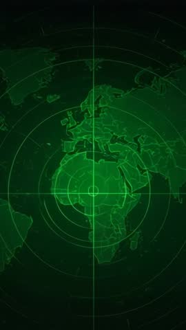
AI Generated Image. Vertical composition showing radar-style world map overlaying concentric rings and crosshair targeting lines. High-contrast green HUD graphics displaying Europe and Africa centered on reticle with sweeping scan line and subtle digital noise. Motion-friendly clip working seamlessly for mobile-first projects and vertical social channels. Use for cybersecurity briefings, military training sequences, navigation and geospatial presentations, broadcast openers, and tech product promos. Easy to customize with text overlays, lower thirds, animated markers and color grading; speed ramping and glitch effects enhancing dramatic pacing. Ideal for app demos, news segments, educational explainers on mapping or global tracking, and background for control room or command center visuals.
Powered by  - Get 15% off with code: PIKWIZARD15


0
downloads
downloads
Tags:
More
Credit Photo
If you would like to credit the Photo, here are some ways you can do so
Text Link
video Link
<span class="text-link">
<span>
<a target="_blank" href=https://pikwizard.com/video/vertical-radar-interface-scanning-world-map-with-crosshairs-and-geospatial-rings/0d2d94589ccecfd7453c3684350f9e4c/>PikWizard</a>
</span>
</span>
<span class="image-link">
<span
style="margin: 0 0 20px 0; display: inline-block; vertical-align: middle; width: 100%;"
>
<a
target="_blank"
href="https://pikwizard.com/video/vertical-radar-interface-scanning-world-map-with-crosshairs-and-geospatial-rings/0d2d94589ccecfd7453c3684350f9e4c/"
style="text-decoration: none; font-size: 10px; margin: 0;"
>
<video controls style="width: 100%; margin: 0;">
<source src="" type="video/mp4"
poster="https://pikwizard.com/pw/medium/0d2d94589ccecfd7453c3684350f9e4c.jpg"/>
Your browser does not support the video tag.
</video>
<p style="font-size: 12px; margin: 0;">PikWizard</p>
</a>
</span>
</span>
Free (free of charge)
Free for personal and commercial use.
Author: AI Creator