Free Digital Cloud Mapping Images Collection
Discover the excellence of Digital Cloud Mapping with a dynamic photos collection that elevates your creative projects. Enhance your work with a transparent photos display designed for modern digital interfaces and seamless global connectivity. Experience premium stock assets that empower innovative business and modern technology solutions.
- digital cloud network
- digital dialogue
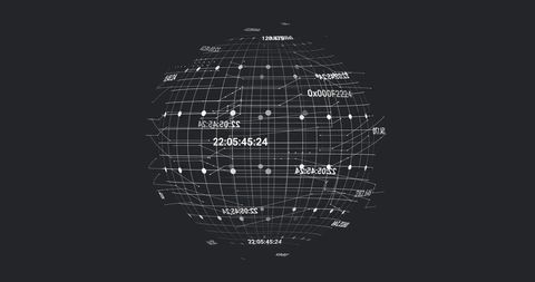
- digital globe matrix
- heart shaped cloud
- business digital interface
- digital world data
- digital transformation
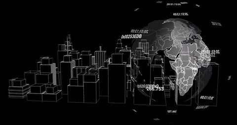
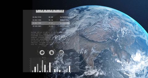
- digital data globe
- digital art matrix
- digital office communication
- digital landscape
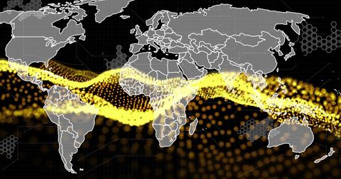
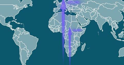
- digital map network
- digital marketing
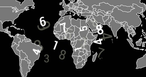
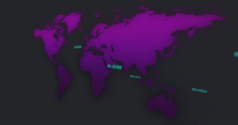
- digital network atlas
- digital overlay interface
- digital visual interface
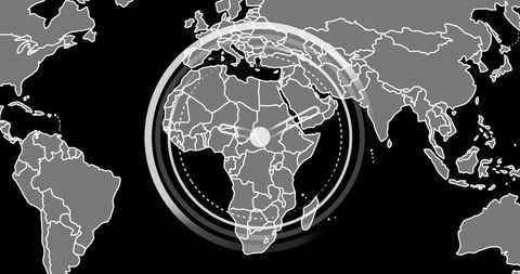
- digital map matrix
- cloud computing