- Home >
- Most Popular Photos >
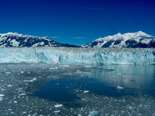
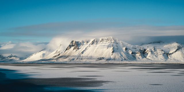
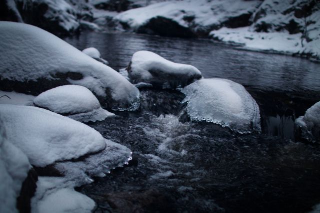
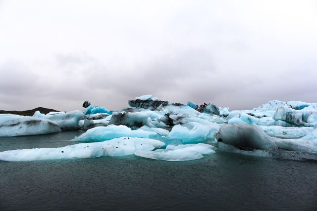
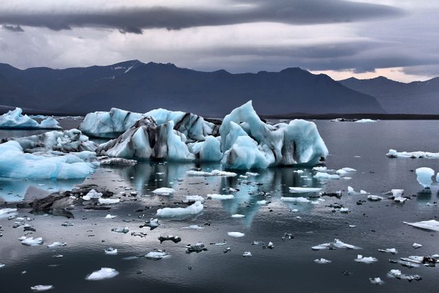
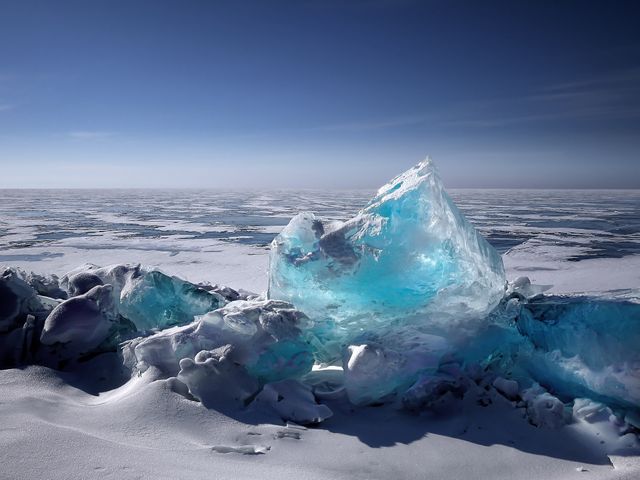
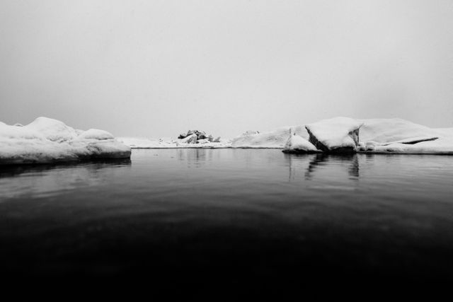
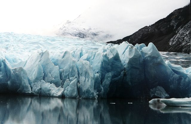
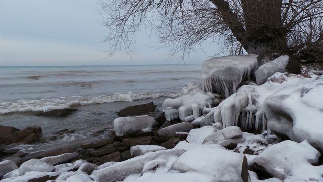
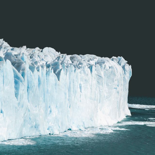
- Ice Burg Picture
Free Ice Burg Picture
Discover the breathtaking beauty of icebergs with Ice Burg Picture on Pikwizard! Dive into our extensive collection of stunning, royalty-free images that capture the essence of these natural wonders. Whether you need visuals for your blog, website, or social media posts, our free stock photo library has got you covered. Download any Ice Burg Picture from Pikwizard and unleash your creativity without any restrictions. Start exploring now and bring your vision to life with captivating imagery.