Overview of sea ice near western Alaska, documented by MODIS on NASA's Aqua satellite in February 2014. Alaska appears to the east, with Russia to the west. The Bering Strait is covered with ice, while the Bering Sea and Chukchi Sea flank it to the south and north, respectively. The bright white St. Lawrence Island sits south of the Bering Strait. The floating sea ice appears duller compared to the bright white snow on the land. This image can be used in educational materials for climate studies, geography, environmental science, wildlife conservation, and satellite monitoring.
  1. Home > 
  2. Most Popular Photos  >  
  3. Ice Cave

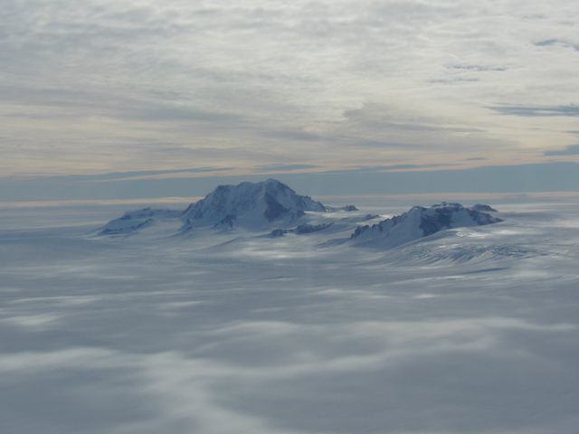
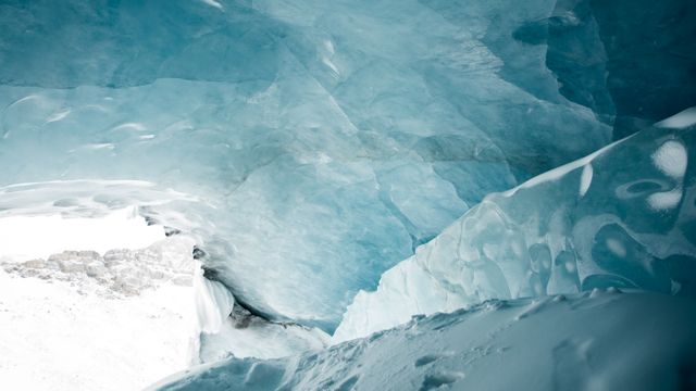
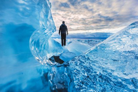
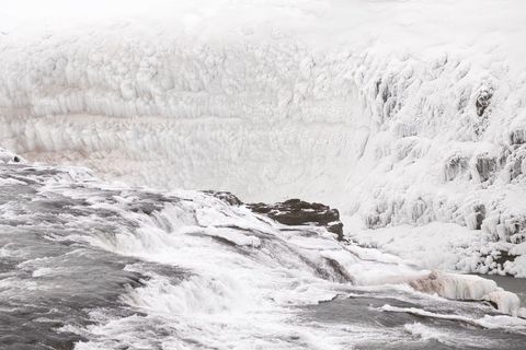
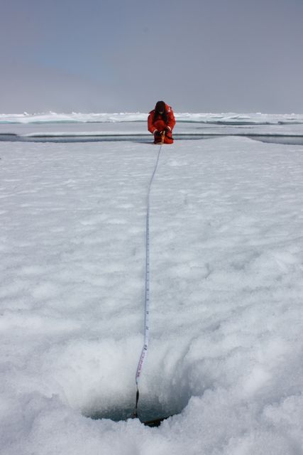
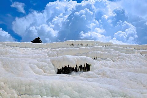
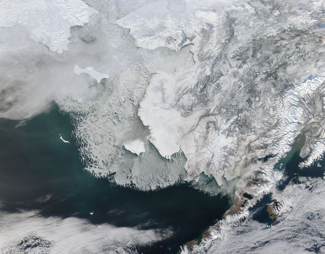
Free Ice Cave Images

Looking for the latest ice cave pictures? Or maybe you're just in the mood to browse our great selection of ice cave pictures. We offer a collection of both free and licensed images, so whether you're looking for stock photos to use in your blog or on your website, or images that you can download to use in your project, Pikwizard is the perfect place to start.