Free Earth Images Hd & Pictures
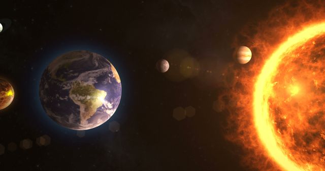
Pikwizard is a free stock photo website dedicated to providing the latest and best nature and landscape photos. We provide high quality and high resolution Earth images HD that you can use in your presentations and websites. Browse through our selection to find beautiful images of the Earth, or snap your own shot and share it with us!
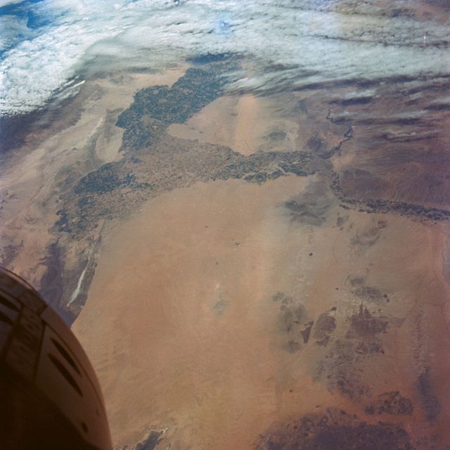
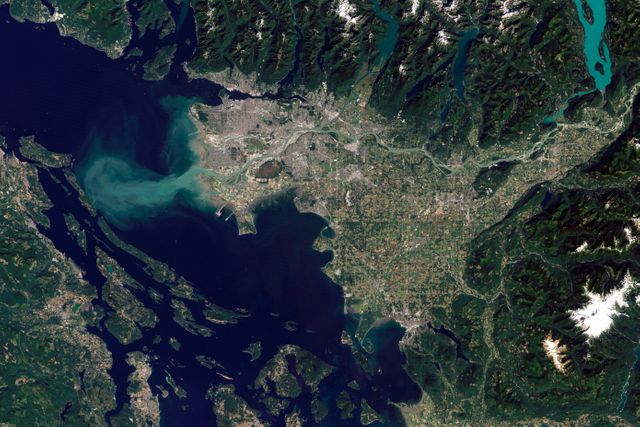
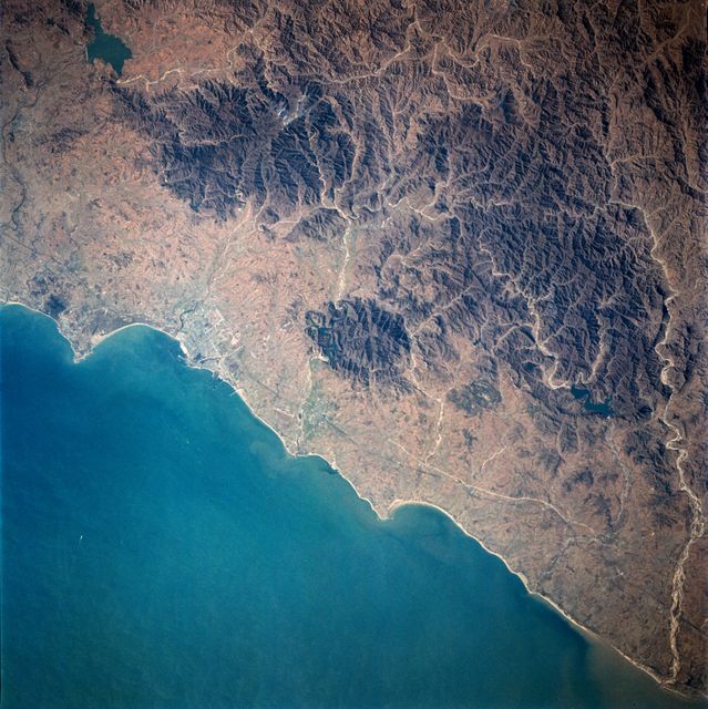
- forest river aerial view
- dark constellation astronomy
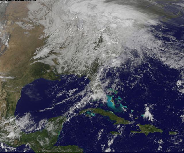
- cloudy sky
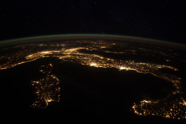
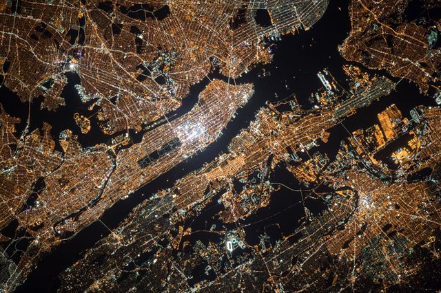
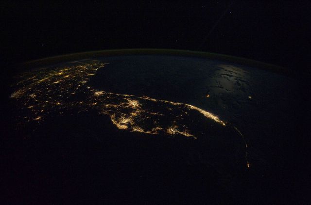
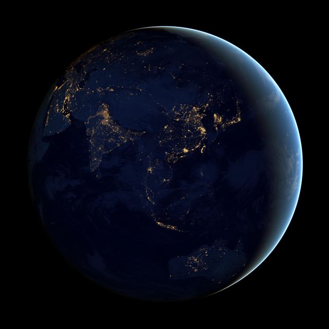
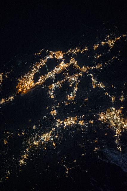
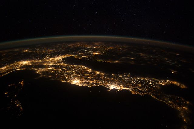
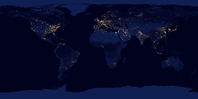
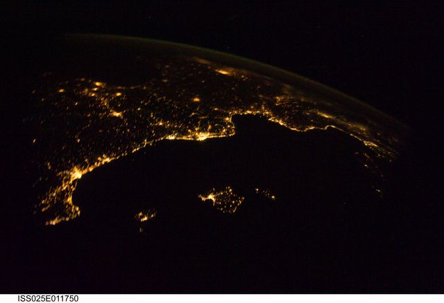
- city lights
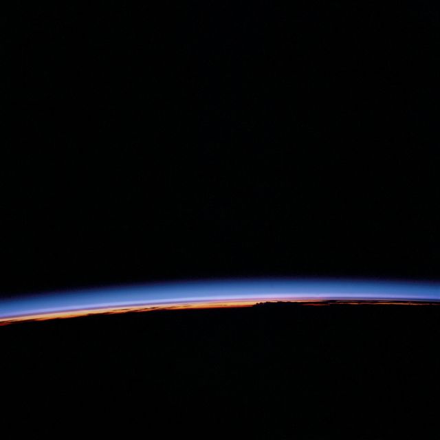
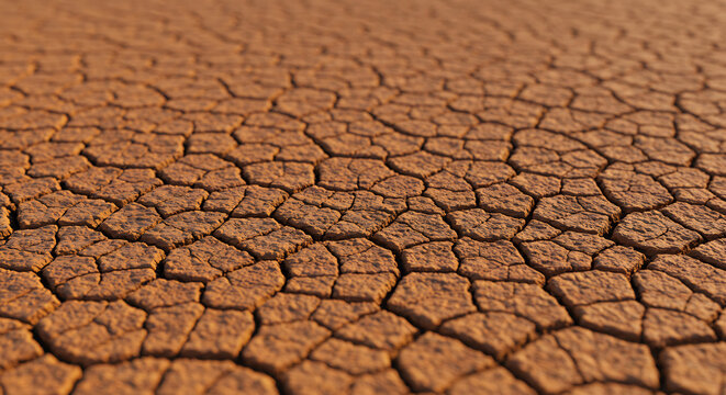
- sunset color background
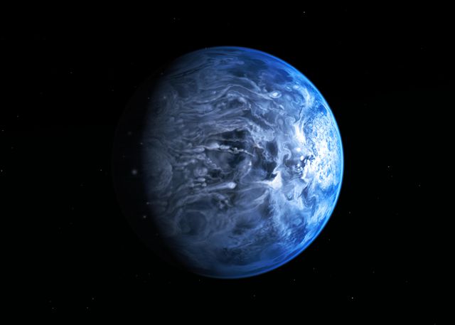
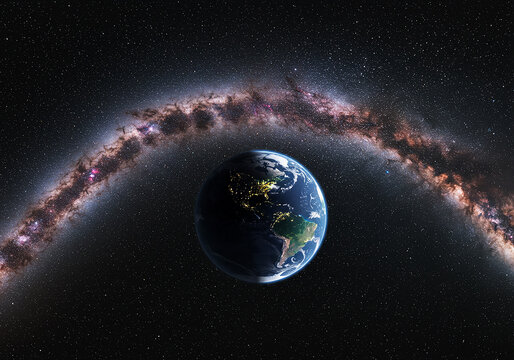
- galaxy blue wallpaper
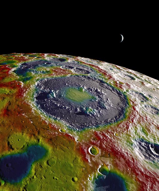
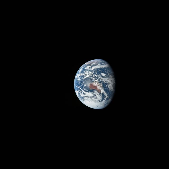
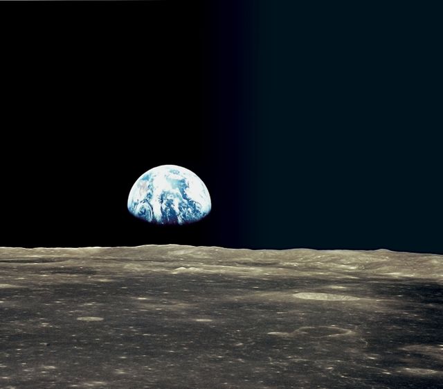
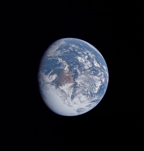
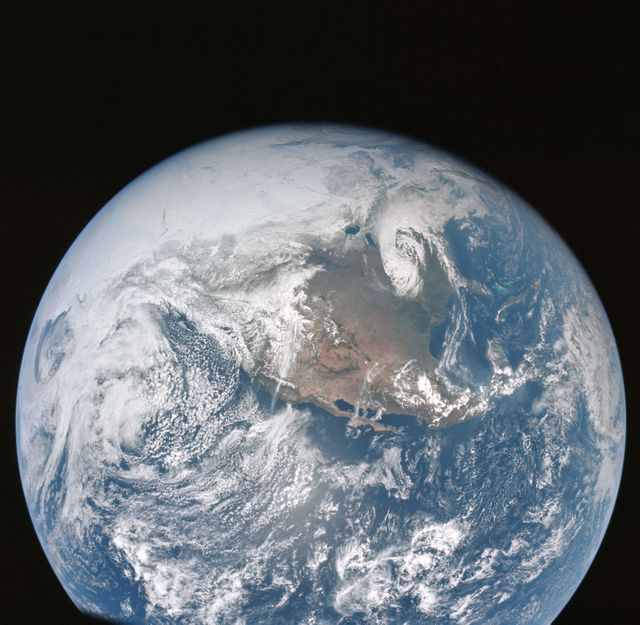
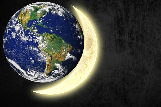
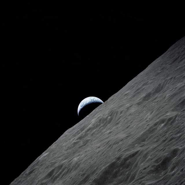
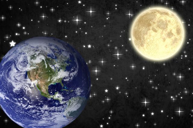
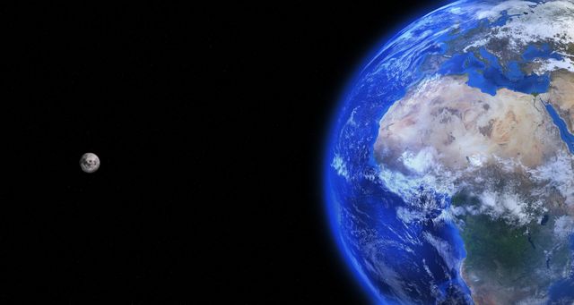
- earth from moon
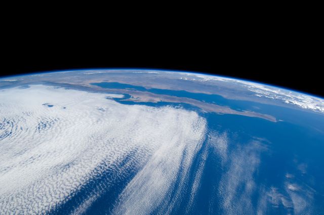
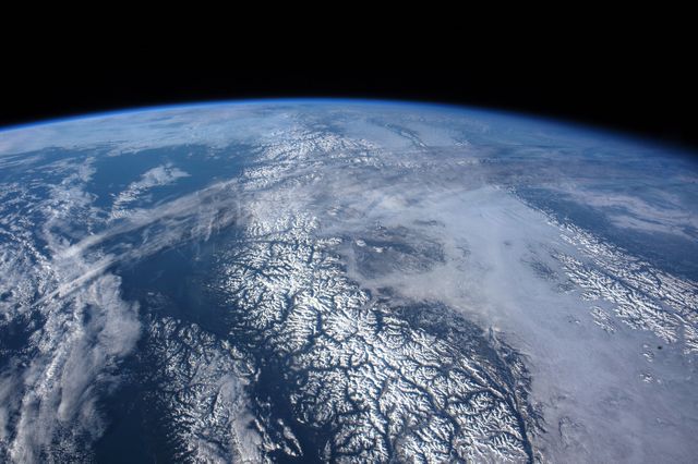
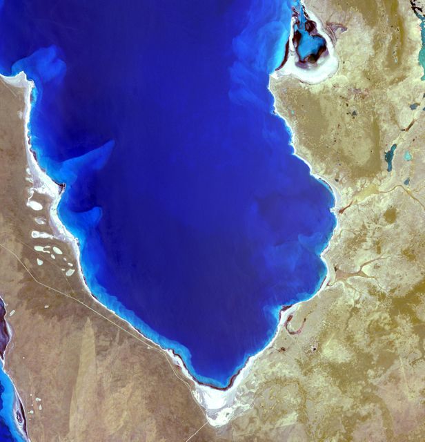
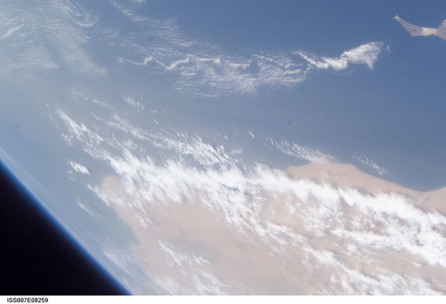
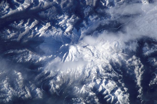
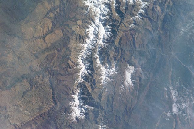
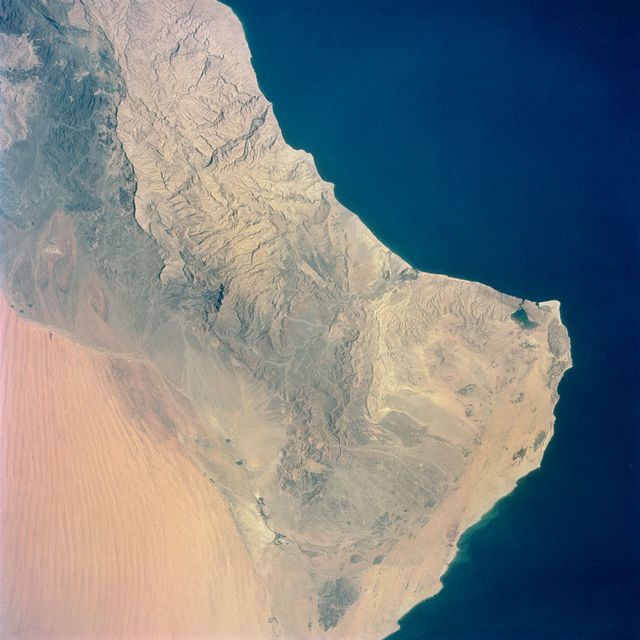
- geography backgrounds
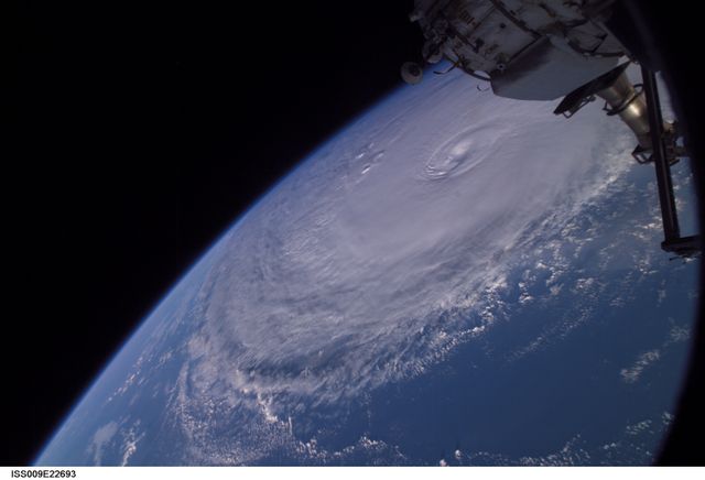
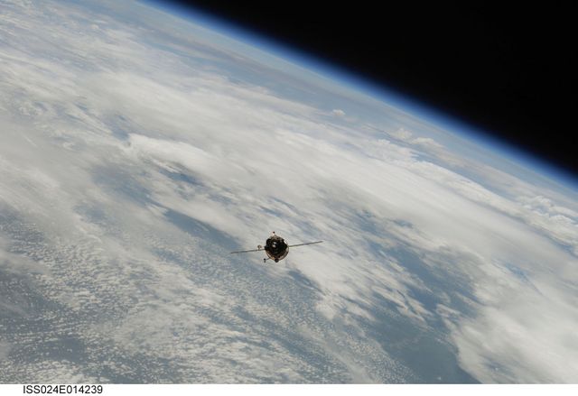
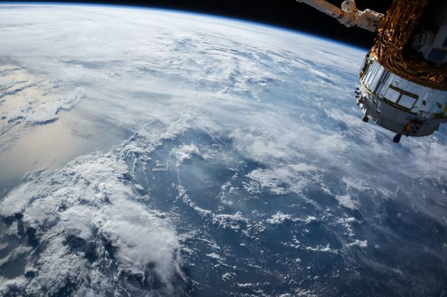
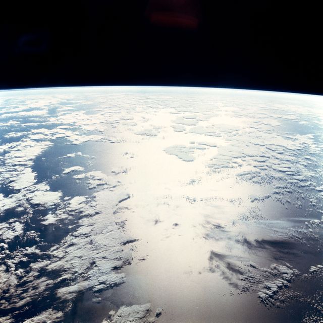
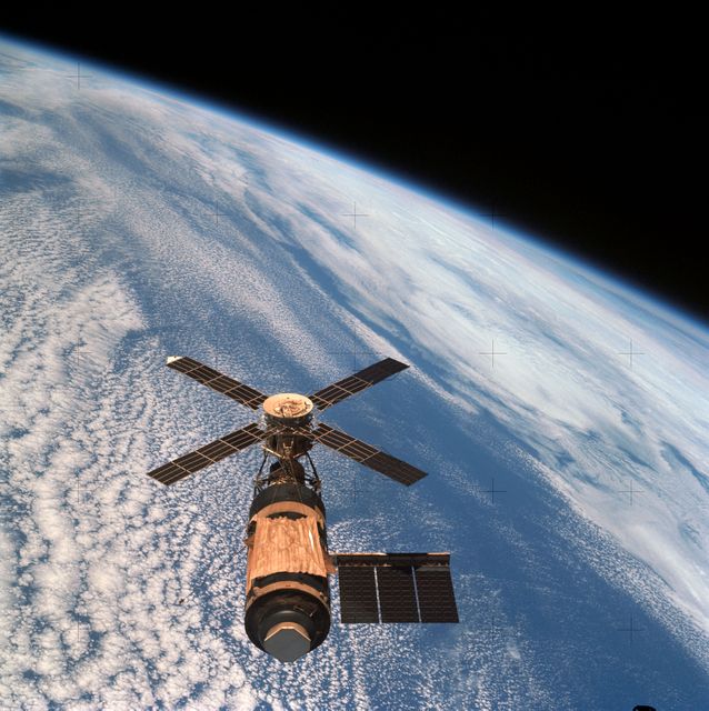
- space station backgrounds
- astronauts
- cherry blossom branches
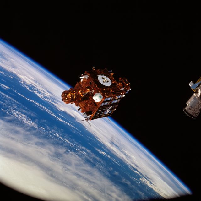
- satellites
- nebula desktop wallpaper hd
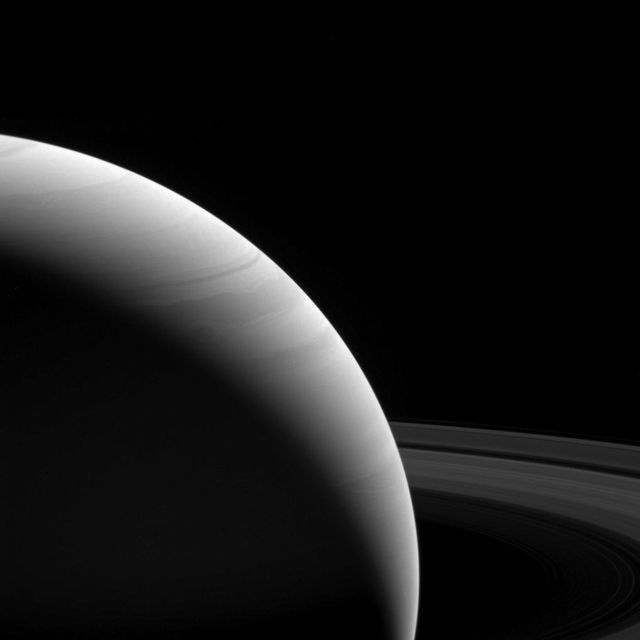
- jupiter
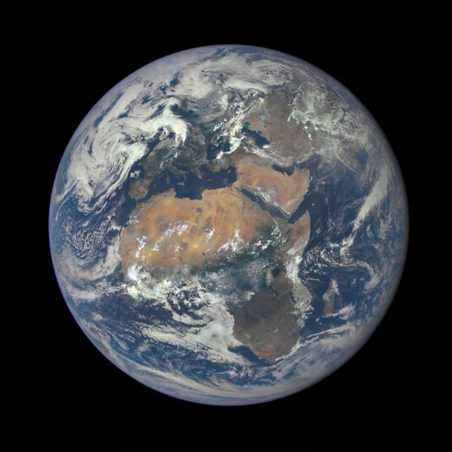
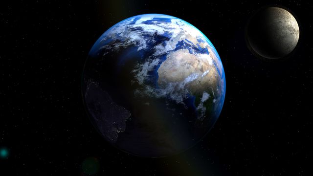
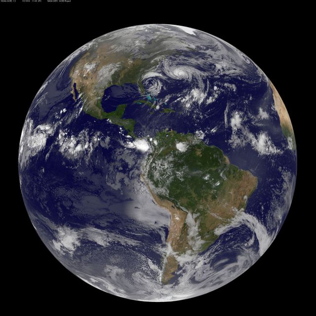
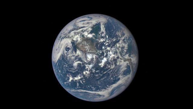
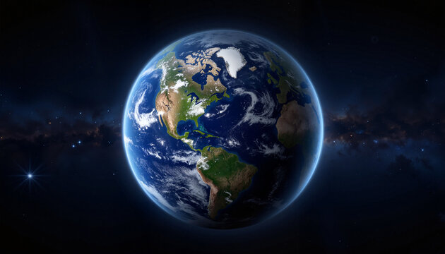
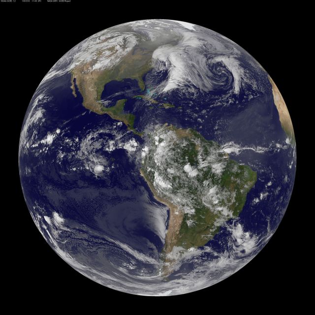
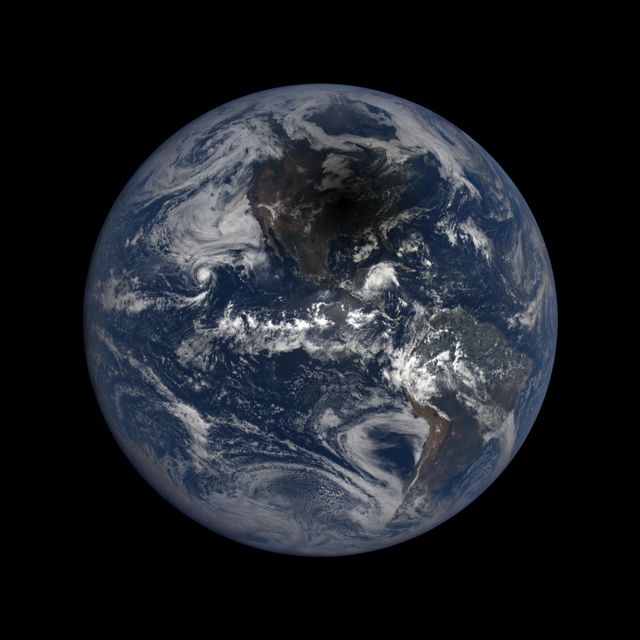
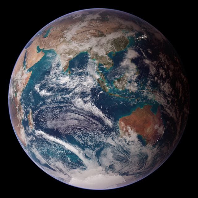
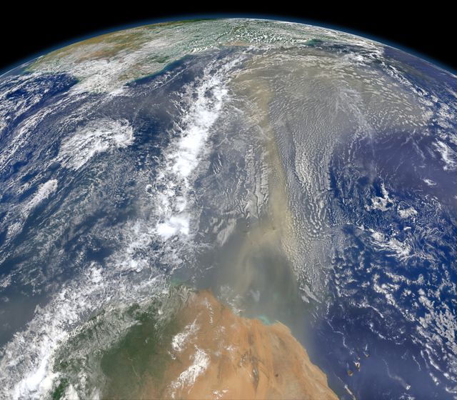
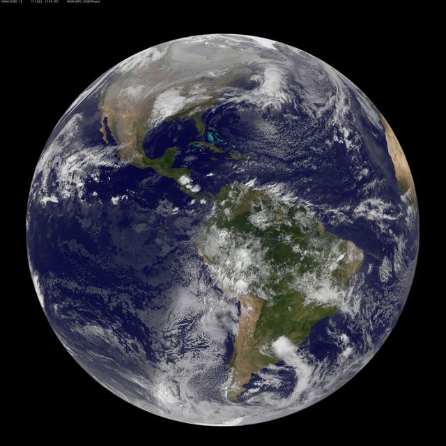
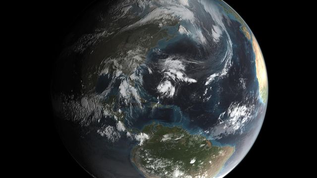
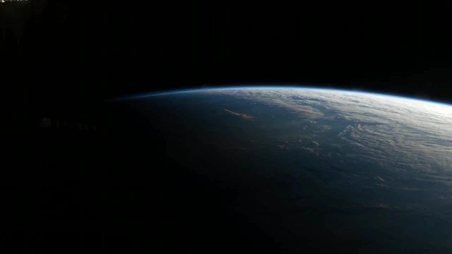
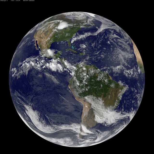
- real earth
- beautiful moon wallpaper
- astronomy

Premium

Premium

Premium


Premium

Premium

Premium

Premium


Premium
Premium

Premium

Premium

Premium

Premium


Premium
Premium

Premium


Premium

Premium

Premium

Premium

Premium
Premium

Premium

Premium

Premium