
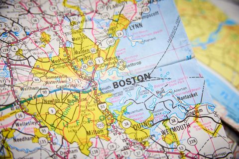
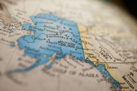
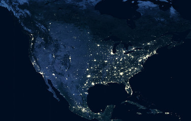
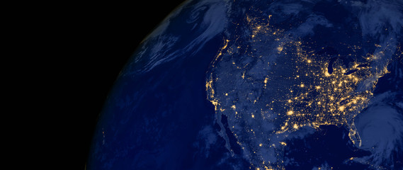
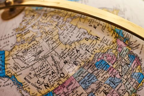
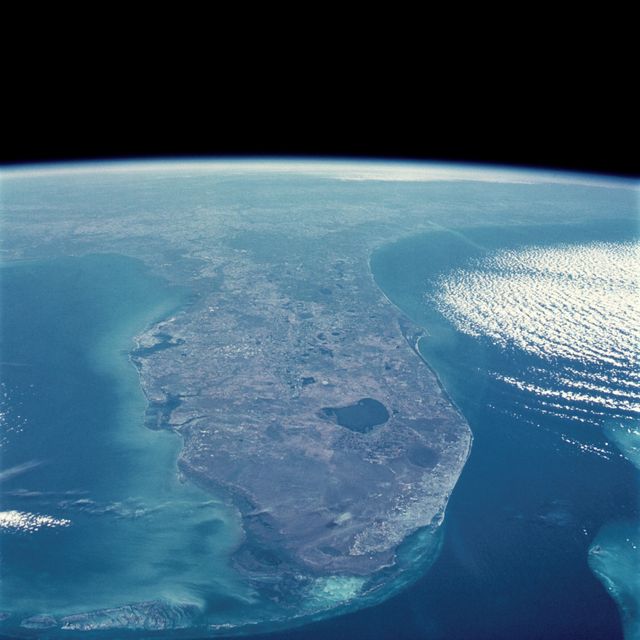
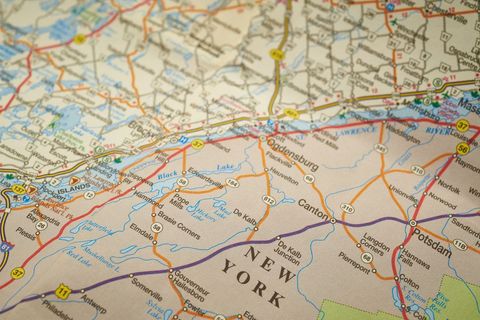
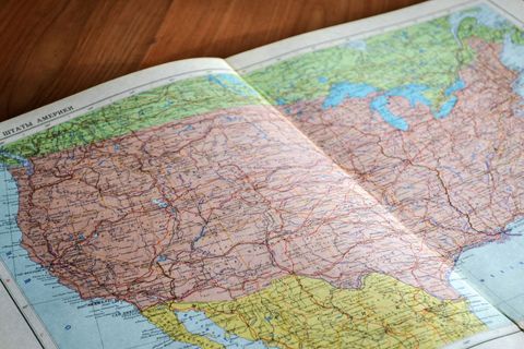
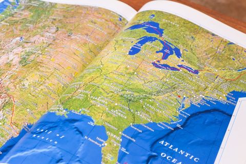
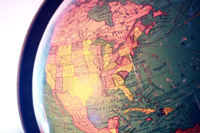
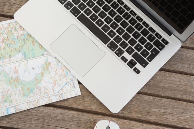
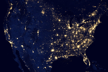
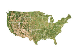
Free United States Map Image
Looking for stunning, high-quality United States map images? Look no further than Pikwizard! Our extensive collection of free stock photos includes a wide variety of United States map images that you can use for any purpose. From educational projects to marketing materials, our royalty-free images provide you with the freedom to download and use them as you please. Don't settle for mediocre visuals when you can elevate your projects with Pikwizard's captivating United States map images. Start downloading today and unlock your creative potential!

Premium
Premium


Premium
Premium
Premium

Explore More Free Stock Images