- Home >
- Stock Photos >
- 3D Data Overlaying Coastal Aerial View with Transparent Bar Charts and Gridlines
3D Data Overlaying Coastal Aerial View with Transparent Bar Charts and Gridlines Image
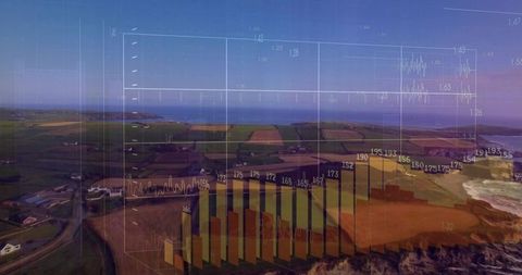
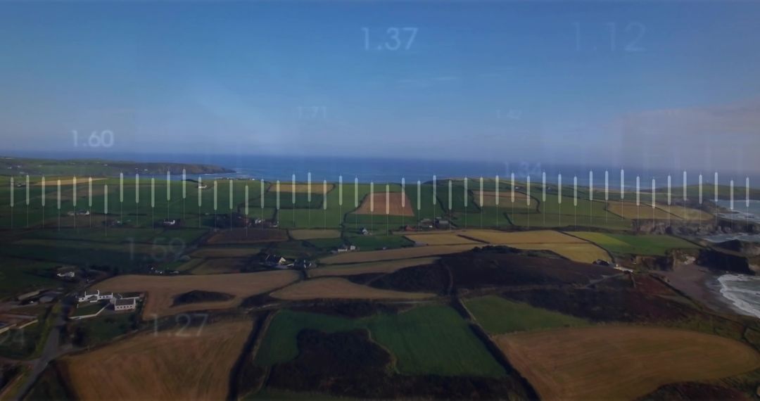
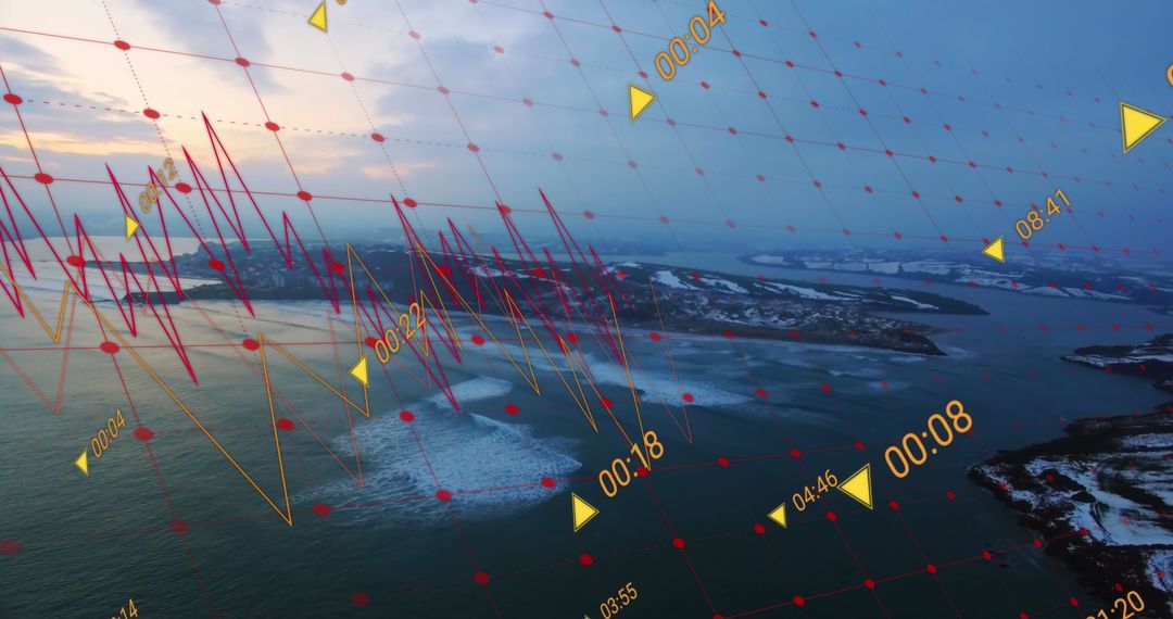
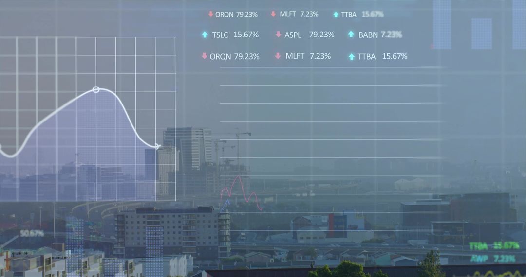
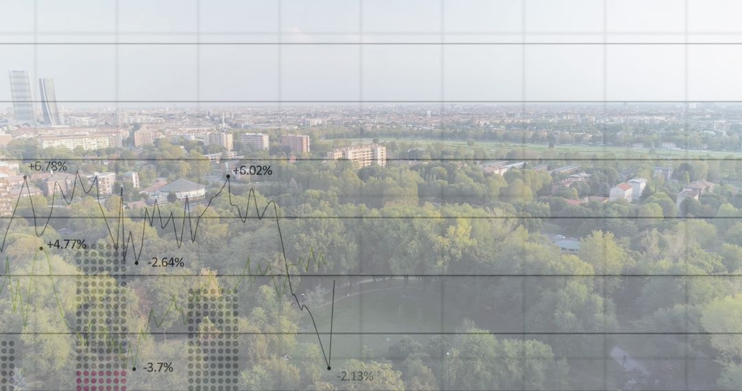
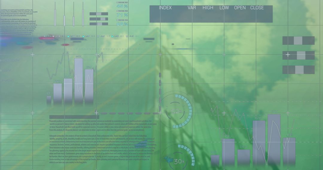
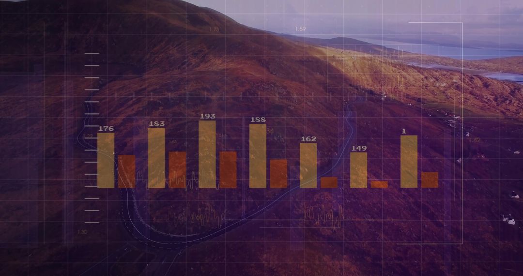
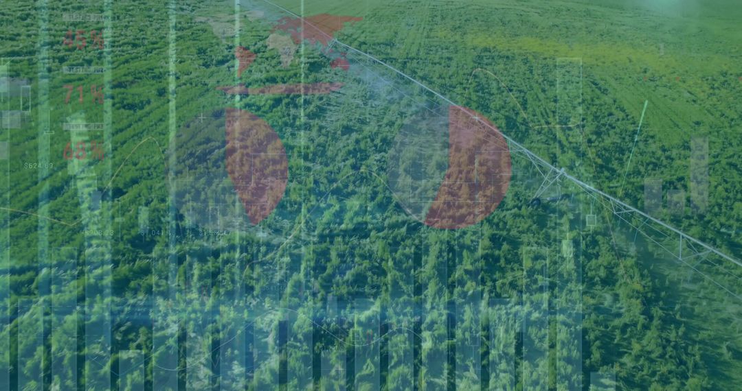
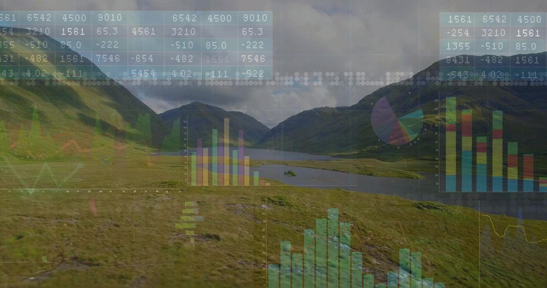
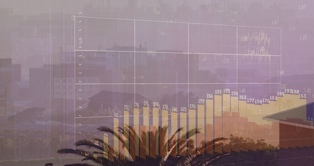
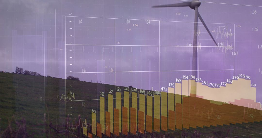
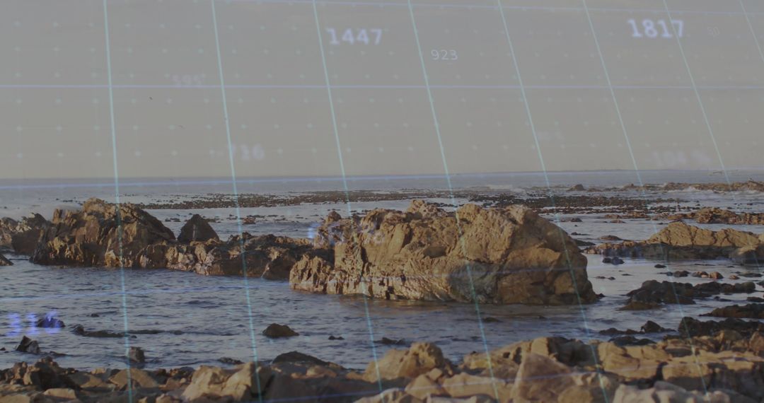
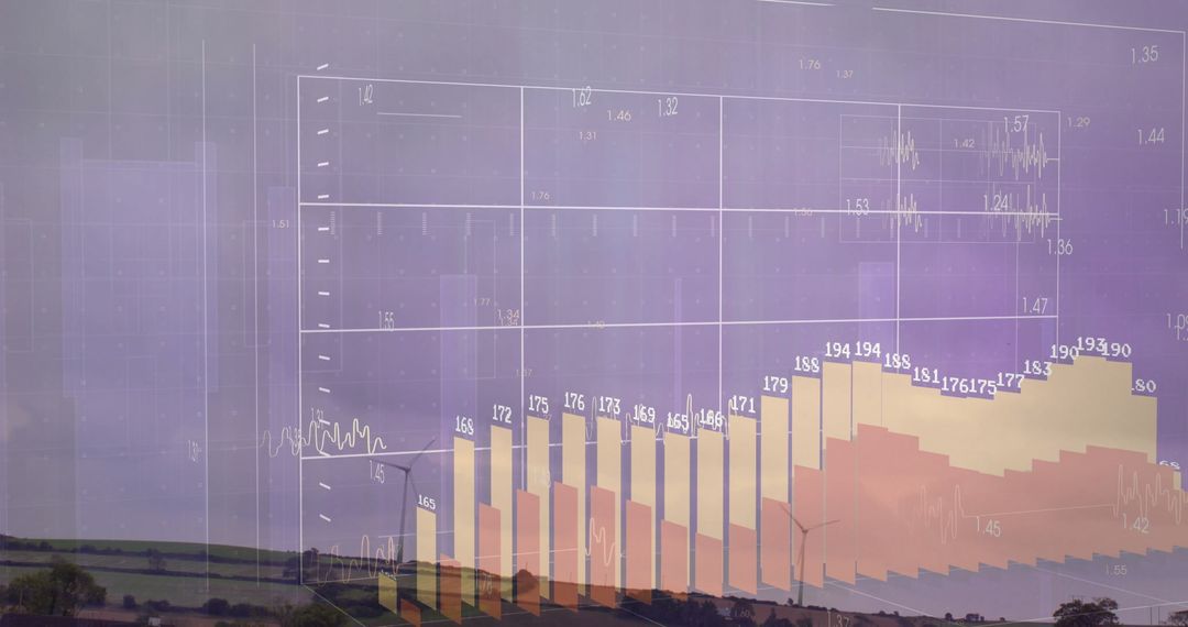
Coastal aerial view featuring translucent 3D charts overlaying patchwork farmland and rugged cliffs, bar charts rising from fields and numeric labels floating along gridlines. Soft sunset tones and deep blue sea providing warm, cinematic palette, wide-angle perspective emphasizing horizon and coastal curve. Featuring central data cluster and readable chart elements for easy cropping and layout. Enhancing business presentations and pitch decks focused on agricultural analytics, coastal development and investment trends. Illustrating environmental impact studies, geospatial reports and climate change analysis. Supporting marketing for data science, IoT, remote sensing and smart farming solutions. Suited for hero banners, website headers, slide masters, infographics and editorial layouts needing modern tech aesthetic and visual data storytelling.
Powered by 


0
downloads
downloads
Tags:
More
Credit Photo
If you would like to credit the Photo, here are some ways you can do so
Text Link
photo Link
<span class="text-link">
<span>
<a target="_blank" href=https://pikwizard.com/photo/3d-data-overlaying-coastal-aerial-view-with-transparent-bar-charts-and-gridlines/c726c88e3bea9b0b7d65edb27e34b101/>PikWizard</a>
</span>
</span>
<span class="image-link">
<span
style="margin: 0 0 20px 0; display: inline-block; vertical-align: middle; width: 100%;"
>
<a
target="_blank"
href="https://pikwizard.com/photo/3d-data-overlaying-coastal-aerial-view-with-transparent-bar-charts-and-gridlines/c726c88e3bea9b0b7d65edb27e34b101/"
style="text-decoration: none; font-size: 10px; margin: 0;"
>
<img src="https://pikwizard.com/pw/medium/c726c88e3bea9b0b7d65edb27e34b101.jpg" style="margin: 0; width: 100%;" alt="" />
<p style="font-size: 12px; margin: 0;">PikWizard</p>
</a>
</span>
</span>
Free (free of charge)
Free for personal and commercial use.
Author: Creative Art
Similar Free Stock Images

Premium


Premium


Premium


Premium


Premium


Premium


Premium


Premium


Premium


Premium


Premium


Premium


Premium


Premium


Premium


Premium


Premium


Premium


Premium


Premium


Premium


Premium


Premium


Premium