- Home >
- Stock Photos >
- 3D Globe Model with Data Visualization and Geographical Hotspots
3D Globe Model with Data Visualization and Geographical Hotspots Image

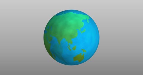
Illustration features a spherical Earth with countries highlighted in red overlaid on a digital map with connecting lines and hotspot indicators. Visual is ideal for projects concerning global data analyses, technological presentations, and study materials focusing on geospatial technology. Suitable for use in reports about data-driven insights, connecting networks, or educationally-focused content discussing technologies harnessing worldwide mapping systems.

downloads
Tags:
More
Credit Photo
If you would like to credit the Photo, here are some ways you can do so
Text Link
photo Link
<span class="text-link">
<span>
<a target="_blank" href=https://pikwizard.com/photo/3d-globe-model-with-data-visualization-and-geographical-hotspots/8859dda6f5b043385bba1425bf170ac6/>PikWizard</a>
</span>
</span>
<span class="image-link">
<span
style="margin: 0 0 20px 0; display: inline-block; vertical-align: middle; width: 100%;"
>
<a
target="_blank"
href="https://pikwizard.com/photo/3d-globe-model-with-data-visualization-and-geographical-hotspots/8859dda6f5b043385bba1425bf170ac6/"
style="text-decoration: none; font-size: 10px; margin: 0;"
>
<img src="https://pikwizard.com/pw/medium/8859dda6f5b043385bba1425bf170ac6.jpg" style="margin: 0; width: 100%;" alt="" />
<p style="font-size: 12px; margin: 0;">PikWizard</p>
</a>
</span>
</span>
Free (free of charge)
Free for personal and commercial use.
Author: Awesome Content