- Home >
- Stock Photos >
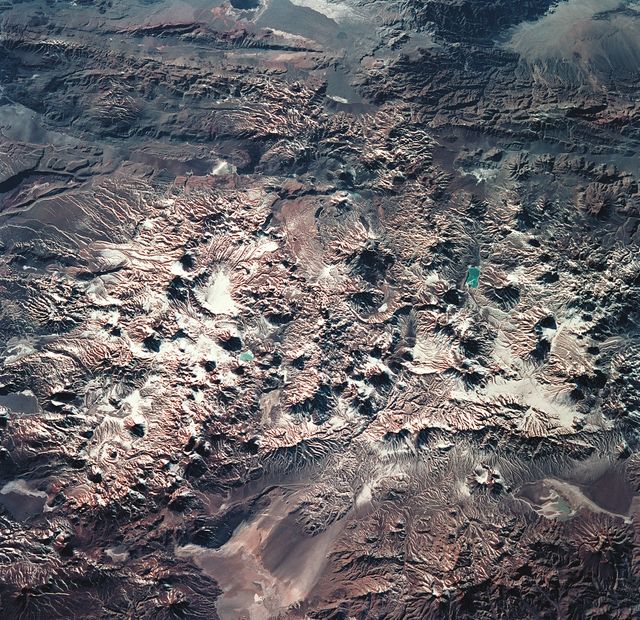
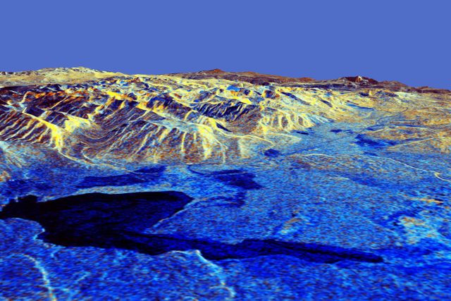
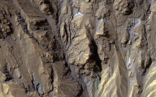
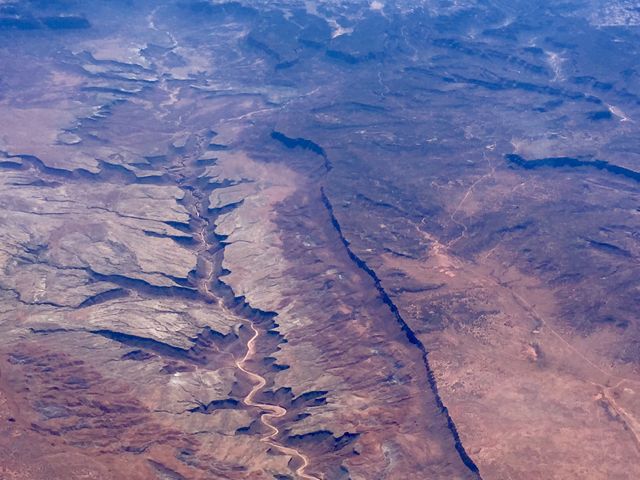
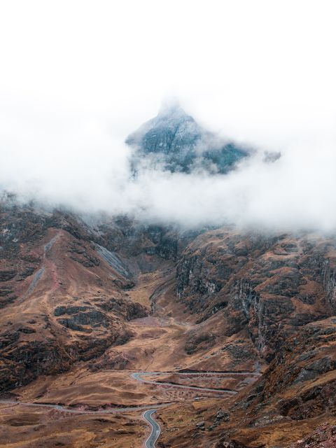
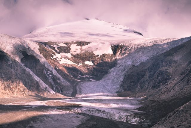
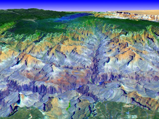
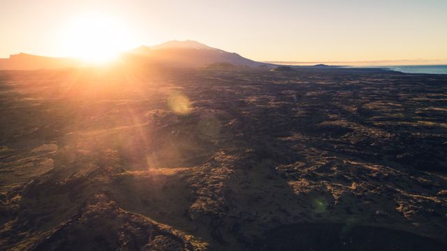
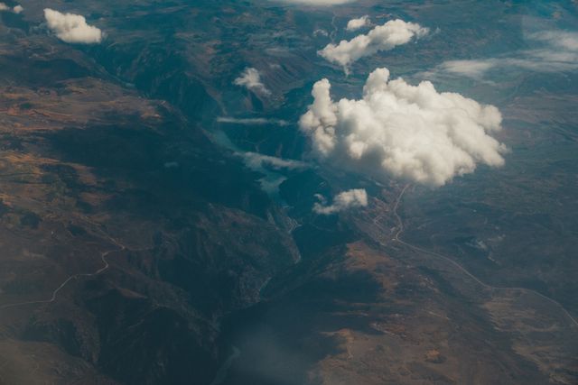
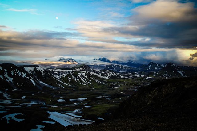
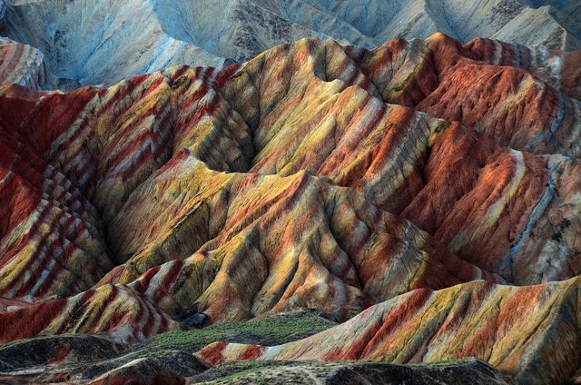
- 3D Topographic View of Tigil River and Volcanic Kamchatka Peninsula
3D Topographic View of Tigil River and Volcanic Kamchatka Peninsula Image
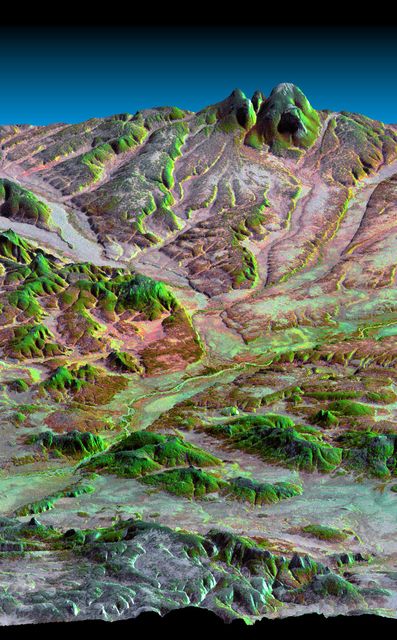
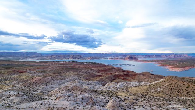
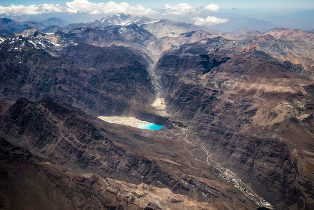
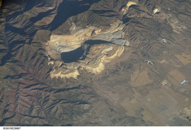
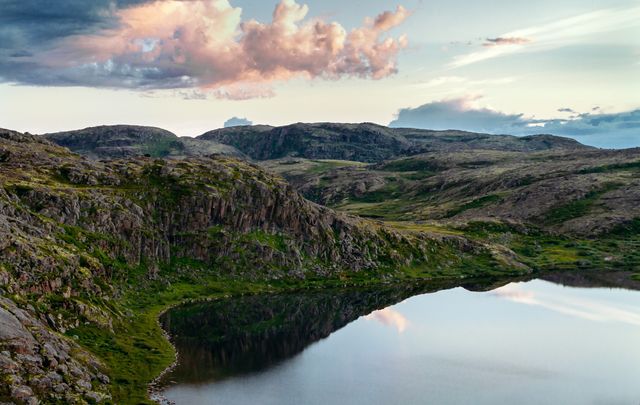
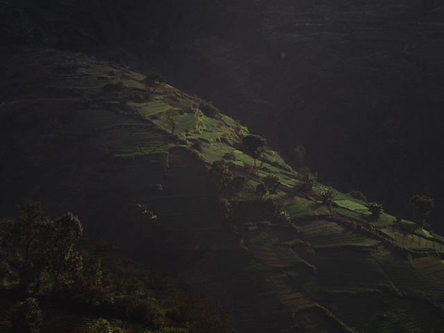
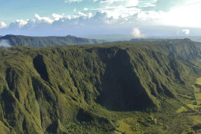
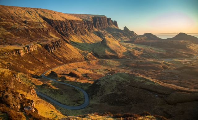
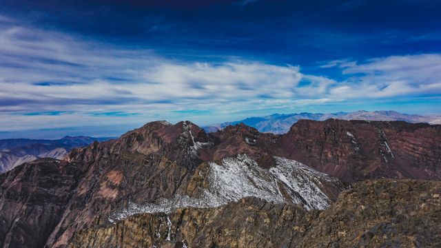
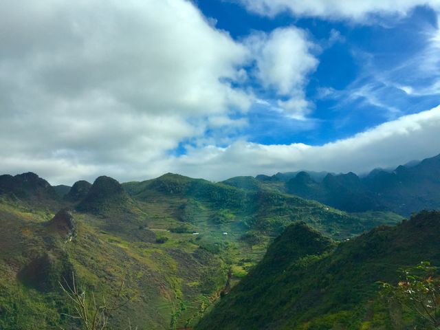
Three-dimensional topographic view showcases the Tigil River area and western side of volcanically active Kamchatka Peninsula. Acquired by NASA's Shuttle Radar Topography Mission (SRTM) in 2000, suitable for educational use in earth sciences and geography. Ideal for illustrating geological and volcanic terrain, remote sensing technology, and natural landscapes in educational materials, documentaries, and scientific research.

Credit Photo
If you would like to credit the Photo, here are some ways you can do so
Text Link
photo Link
<span class="text-link">
<span>
<a target="_blank" href=https://pikwizard.com/photo/3d-topographic-view-of-tigil-river-and-volcanic-kamchatka-peninsula/deeceb0646c2c5cbb02fa65de31de2fb/>PikWizard</a>
</span>
</span>
<span class="image-link">
<span
style="margin: 0 0 20px 0; display: inline-block; vertical-align: middle; width: 100%;"
>
<a
target="_blank"
href="https://pikwizard.com/photo/3d-topographic-view-of-tigil-river-and-volcanic-kamchatka-peninsula/deeceb0646c2c5cbb02fa65de31de2fb/"
style="text-decoration: none; font-size: 10px; margin: 0;"
>
<img src="https://pikwizard.com/pw/medium/deeceb0646c2c5cbb02fa65de31de2fb.jpg" style="margin: 0; width: 100%;" alt="" />
<p style="font-size: 12px; margin: 0;">PikWizard</p>
</a>
</span>
</span>
CC0 (Creative Commons Zero)
Free for personal and commercial use.
Similar Free Stock Images