- Home >
- Stock Photos >
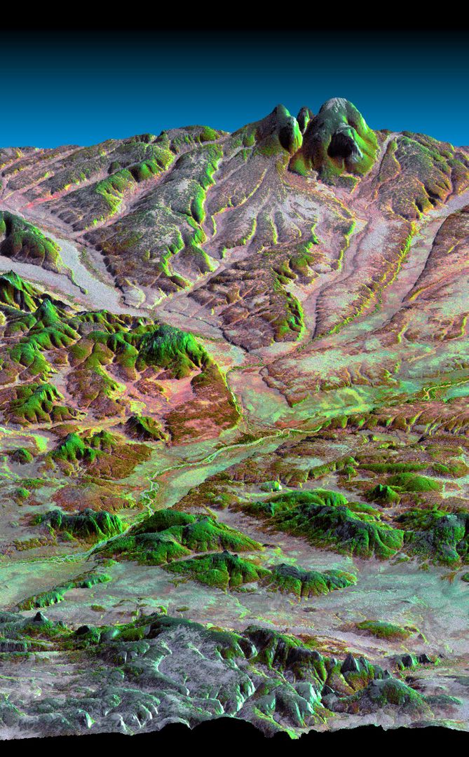
- 3D View of Wildfire Damage at Siding Spring Observatory, Australia
3D View of Wildfire Damage at Siding Spring Observatory, Australia Image
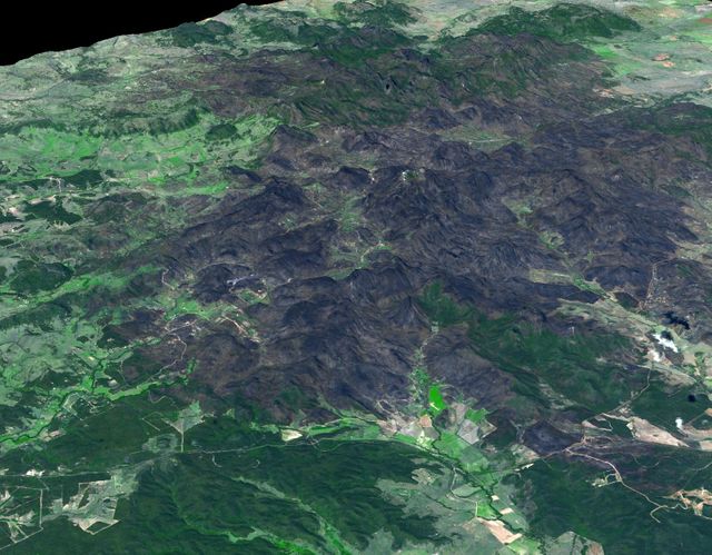
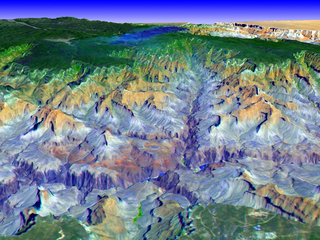
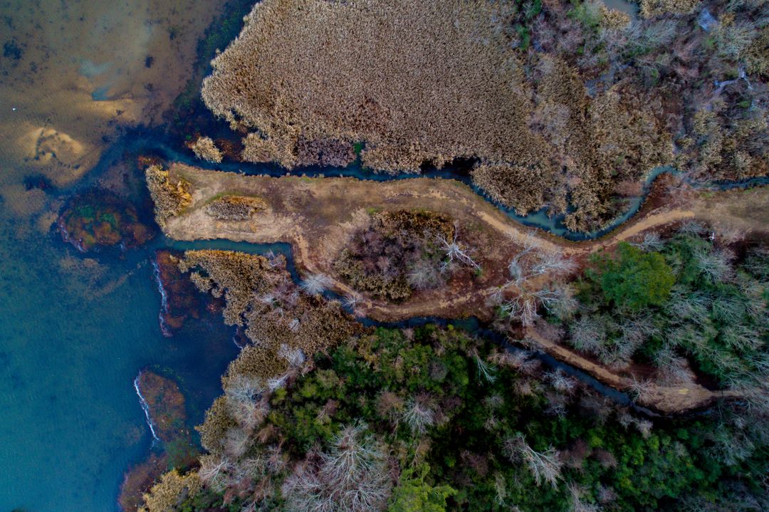
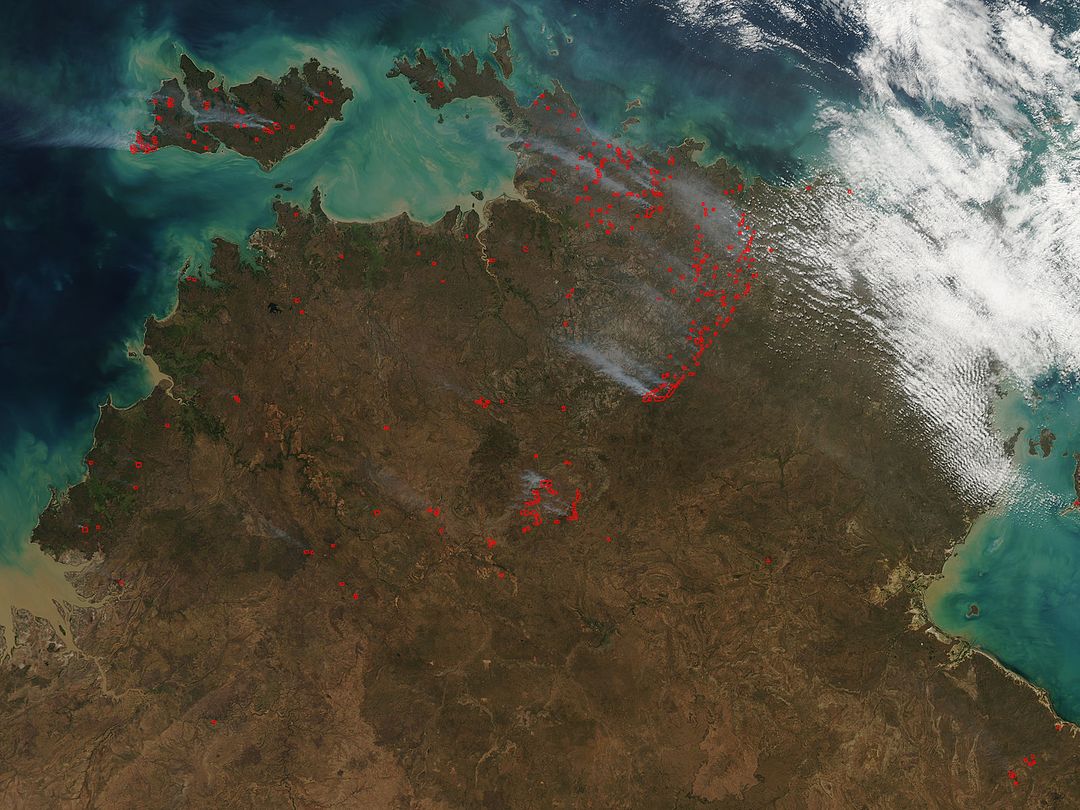
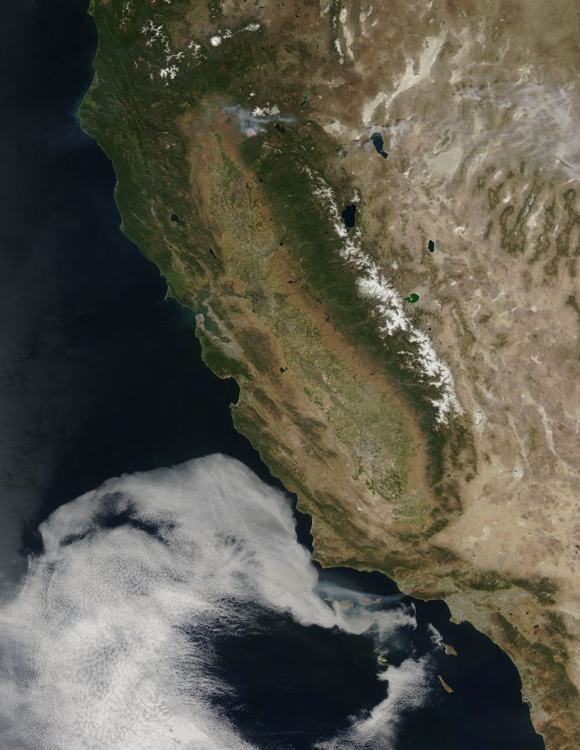
This detailed 3D view highlights the extent of the wildfire damage at the Siding Spring Observatory in Australia, captured by NASA's Terra spacecraft on February 4, 2013. The image depicts the impact of the natural disaster on the largest optical astronomy facility in Australia, showcasing charred land and interactive geography. Suitable for use in educational materials about natural disasters, satellite imaging technology, and conservation efforts.

Credit Photo
If you would like to credit the Photo, here are some ways you can do so
CC0 (Creative Commons Zero)
Editorial Use only - Please be aware that images marked as Editorial cannot be used for commercial, promotional, advertorial or endorsement purposes. You should only use Editorial images in connection with events that are newsworthy or of (non commercial) general interest.
Similar Free Stock Images