- Home >
- Stock Photos >
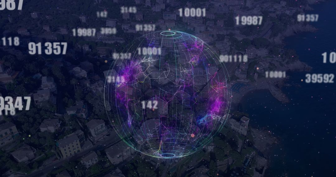
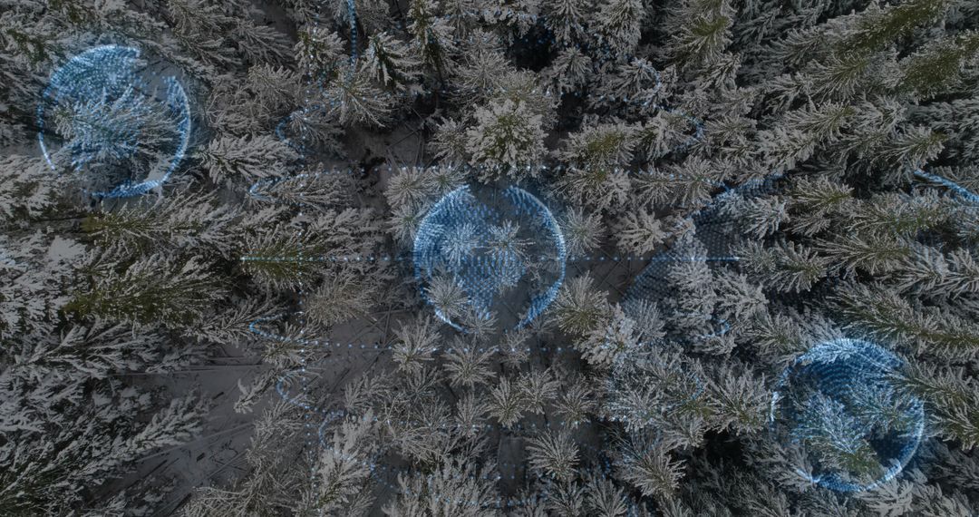
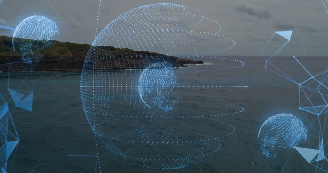
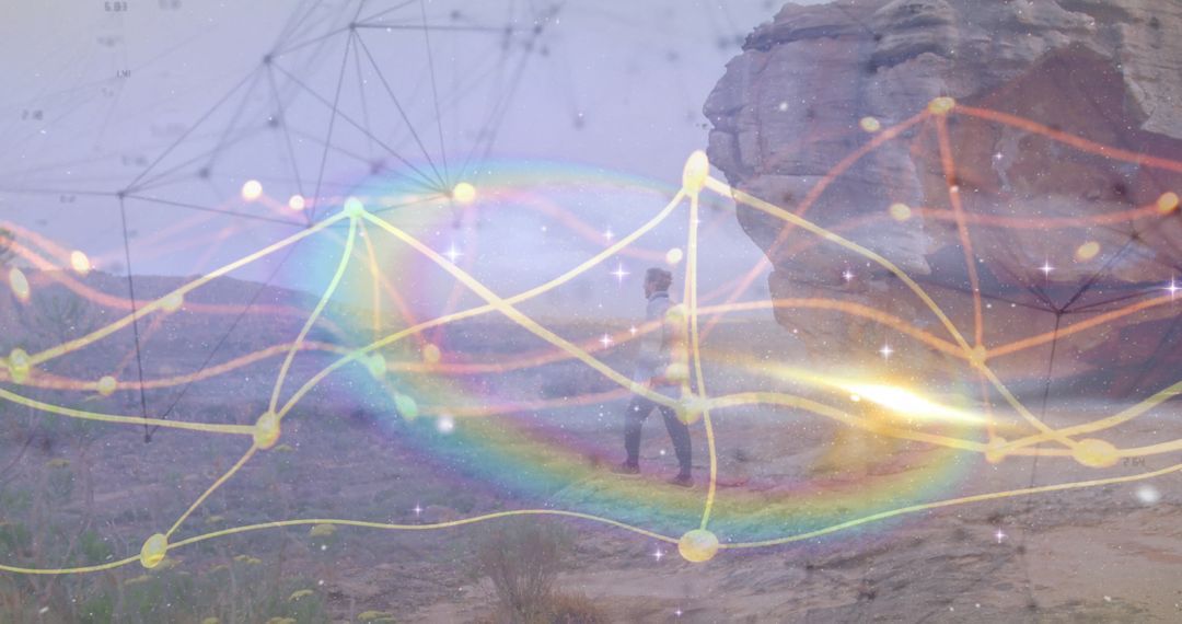
- Aerial desert mapping with holographic geospatial orbs hovering over winding dirt trail
Aerial desert mapping with holographic geospatial orbs hovering over winding dirt trail Image
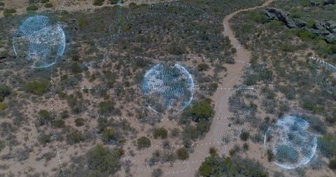
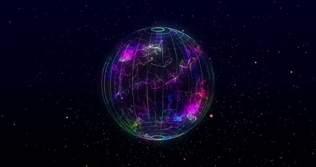
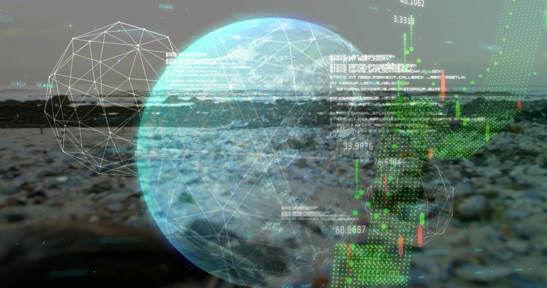
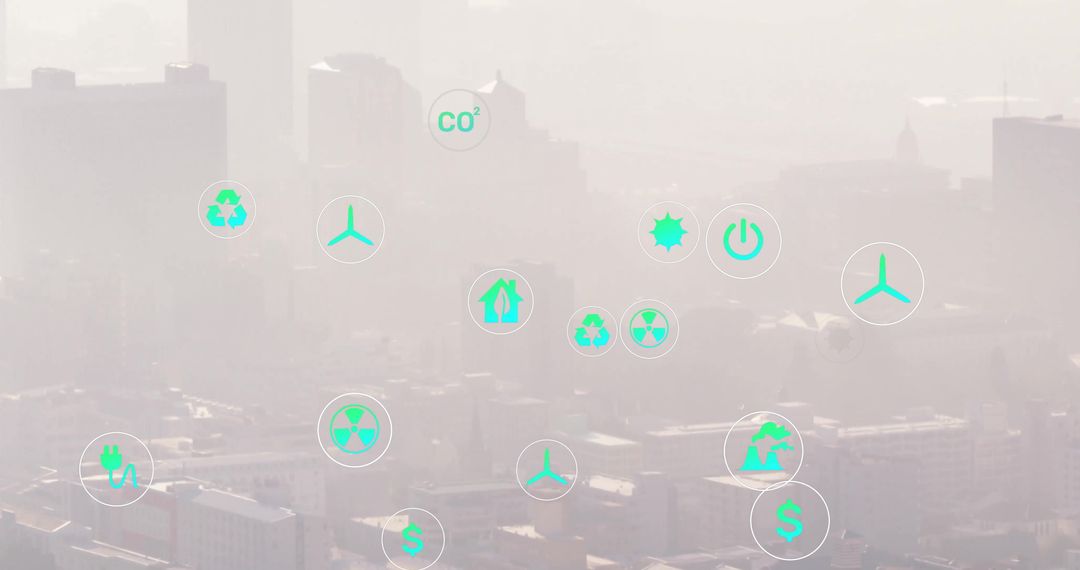
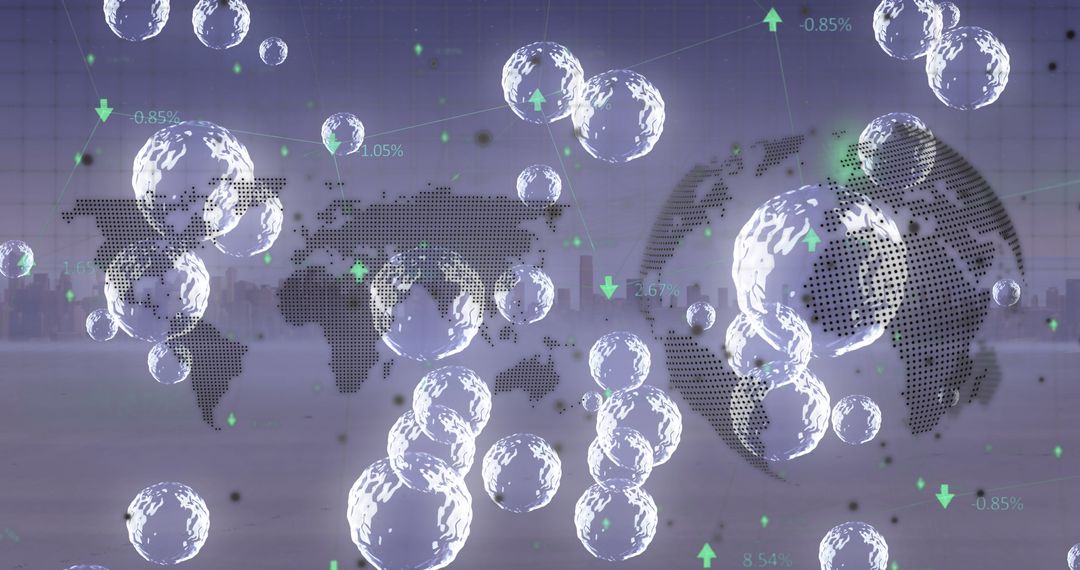
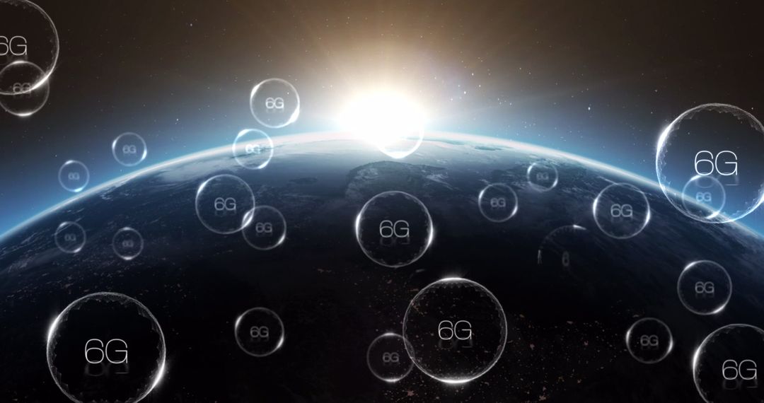
Showing aerial desert landscape with holographic geospatial orbs, suiting projects about mapping technology, drone surveying, environmental monitoring, network connectivity, future tech concepts. Featuring winding dirt trail and sparse scrubland, offering strong composition for hero banners, website headers, editorial spreads, corporate presentations, social media posts about GIS, remote sensing, digital twins. Working well for advertising campaigns and reports focusing on smart agriculture, conservation planning, infrastructure monitoring, satellite data visualization. Layering suggestions: combining with bold typography, data overlays, animated parallax effects for video intro or explainer animation.
Powered by  - Get 15% off with code: PIKWIZARD15


0
downloads
downloads
Tags:
More
Credit Photo
If you would like to credit the Photo, here are some ways you can do so
Text Link
photo Link
<span class="text-link">
<span>
<a target="_blank" href=https://pikwizard.com/photo/aerial-desert-mapping-with-holographic-geospatial-orbs-hovering-over-winding-dirt-trail/ae06d2f8e465c62f62aefde735c6e075/>PikWizard</a>
</span>
</span>
<span class="image-link">
<span
style="margin: 0 0 20px 0; display: inline-block; vertical-align: middle; width: 100%;"
>
<a
target="_blank"
href="https://pikwizard.com/photo/aerial-desert-mapping-with-holographic-geospatial-orbs-hovering-over-winding-dirt-trail/ae06d2f8e465c62f62aefde735c6e075/"
style="text-decoration: none; font-size: 10px; margin: 0;"
>
<img src="https://pikwizard.com/pw/medium/ae06d2f8e465c62f62aefde735c6e075.jpg" style="margin: 0; width: 100%;" alt="" />
<p style="font-size: 12px; margin: 0;">PikWizard</p>
</a>
</span>
</span>
Free (free of charge)
Free for personal and commercial use.
Author: Awesome Content
Similar Free Stock Images

Premium


Premium


Premium