
- Home >
- Stock Photos >
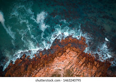
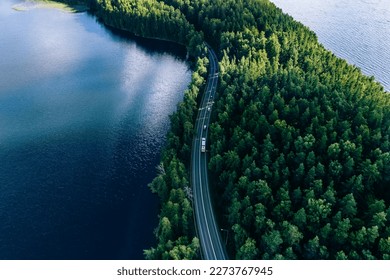
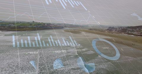
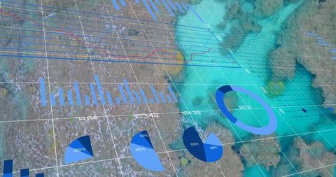
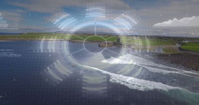
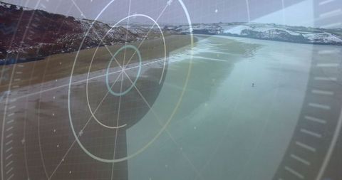
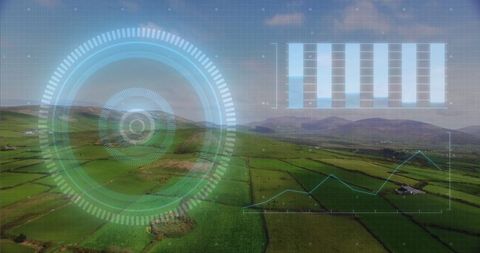
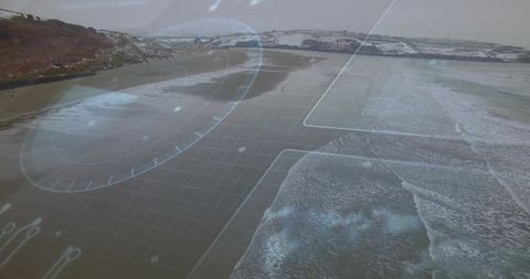
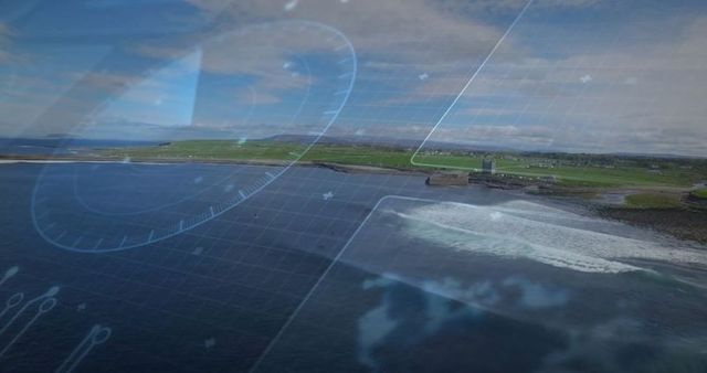
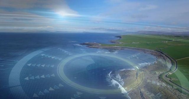
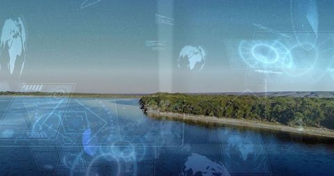
- Aerial drone surveying rugged coastline with HUD overlay tracing curving coastal road
Aerial drone surveying rugged coastline with HUD overlay tracing curving coastal road Image

Showing aerial view of rugged coast and curving road with transparent HUD graphics and grid overlay. Drone perspective combining natural landscape with futuristic data visualization for mapping, navigation, and planning themes. Ideal for use in technology, GIS, and environmental projects, including presentations, websites, brochures, and editorial pieces about coastal monitoring, infrastructure planning, or drone surveying services. Working well as background visual for pitch decks, app interfaces, and social media banners that focus on geospatial intelligence, route analysis, or sustainable coastal management. Color palette offering cool blues and greens with high-contrast overlay elements for strong visual impact.
Powered by  - Get 15% off with code: PIKWIZARD15


0
downloads
downloads
Tags:
More
Credit Photo
If you would like to credit the Photo, here are some ways you can do so
Text Link
photo Link
<span class="text-link">
<span>
<a target="_blank" href=https://pikwizard.com/photo/aerial-drone-surveying-rugged-coastline-with-hud-overlay-tracing-curving-coastal-road/dcea2aae3740d76c5680f66338d8150a/>PikWizard</a>
</span>
</span>
<span class="image-link">
<span
style="margin: 0 0 20px 0; display: inline-block; vertical-align: middle; width: 100%;"
>
<a
target="_blank"
href="https://pikwizard.com/photo/aerial-drone-surveying-rugged-coastline-with-hud-overlay-tracing-curving-coastal-road/dcea2aae3740d76c5680f66338d8150a/"
style="text-decoration: none; font-size: 10px; margin: 0;"
>
<img src="https://pikwizard.com/pw/medium/dcea2aae3740d76c5680f66338d8150a.jpg" style="margin: 0; width: 100%;" alt="" />
<p style="font-size: 12px; margin: 0;">PikWizard</p>
</a>
</span>
</span>
Free (free of charge)
Free for personal and commercial use.
Author: People Creations
Similar Free Stock Images
Loading...

Premium


Premium


Premium

Premium


Premium
Premium


Premium

Premium


Premium


Premium


Premium


Premium

Premium


Premium


Premium


Premium


Premium


Premium

Premium


Premium


Premium
Premium


Premium


Premium


Premium
