- Home >
- Stock Photos >
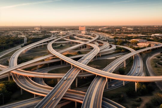
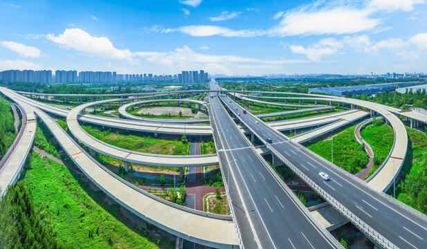
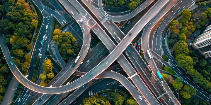
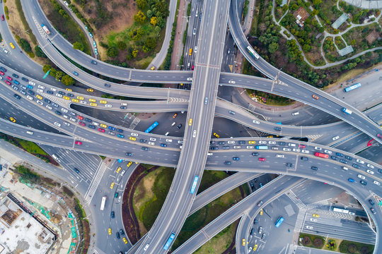
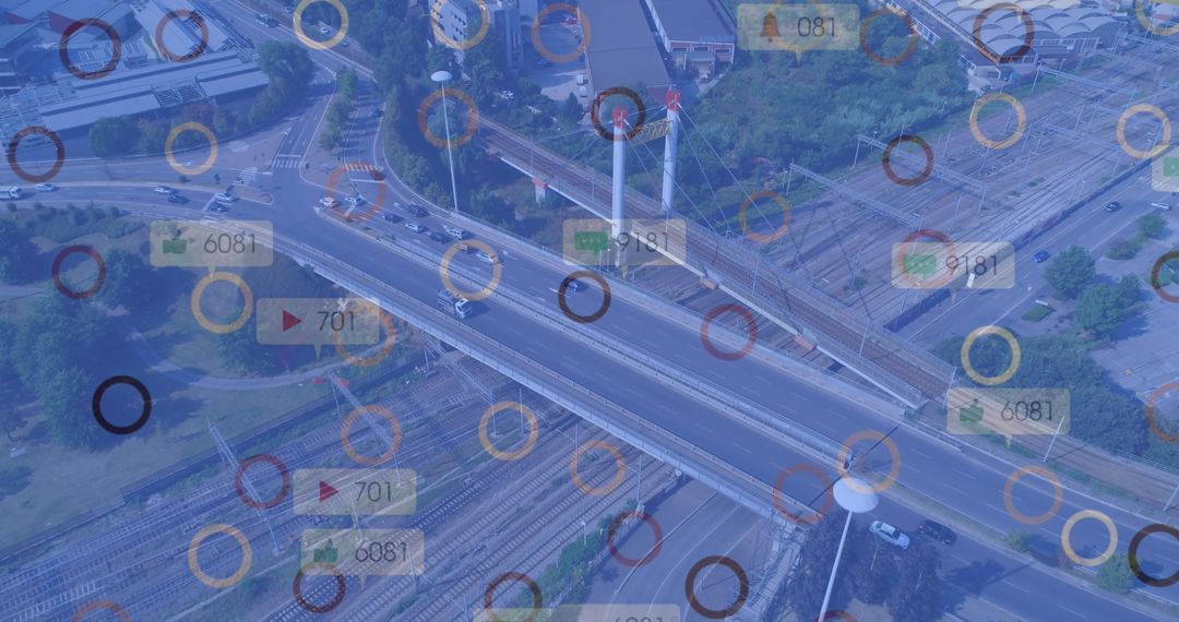
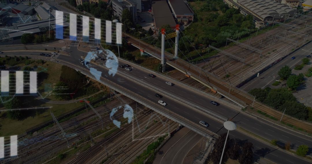
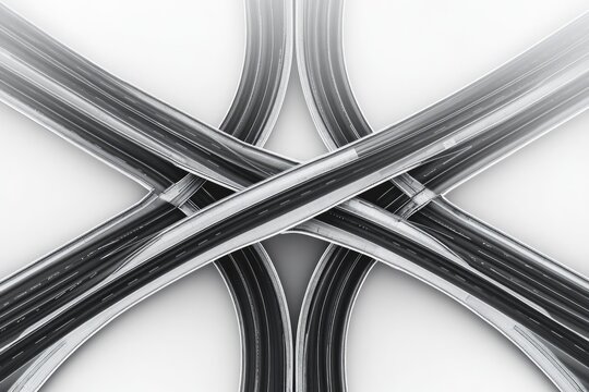
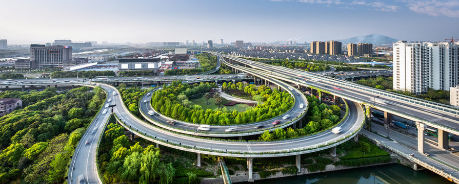
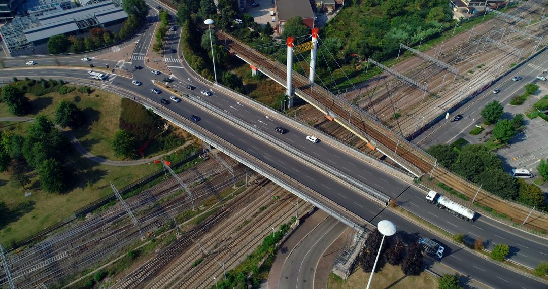
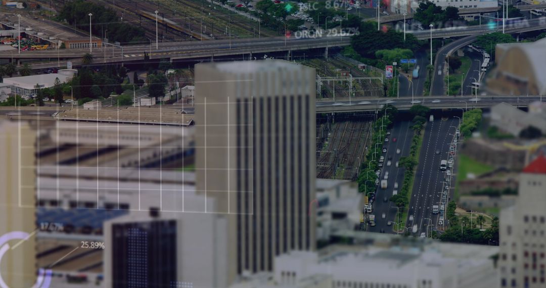
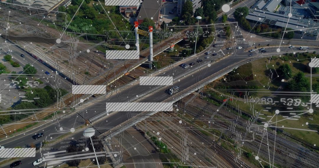
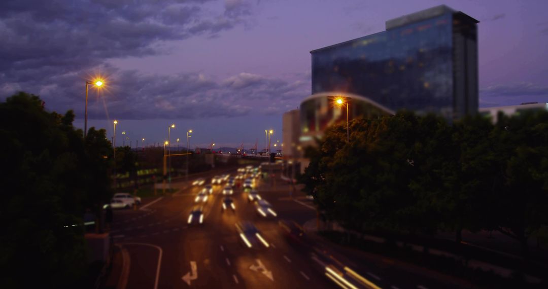
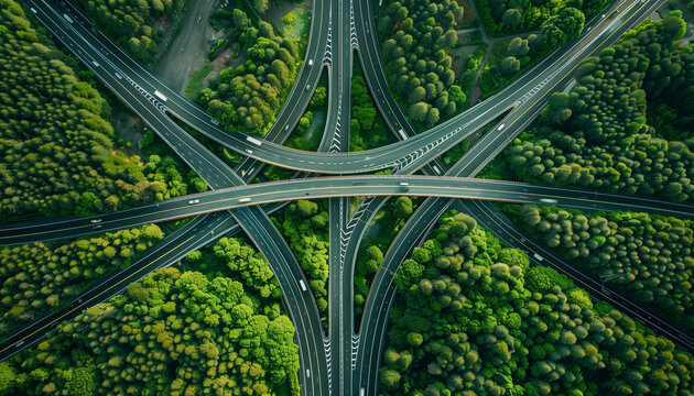
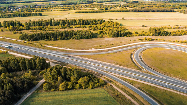
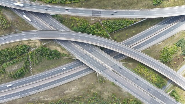
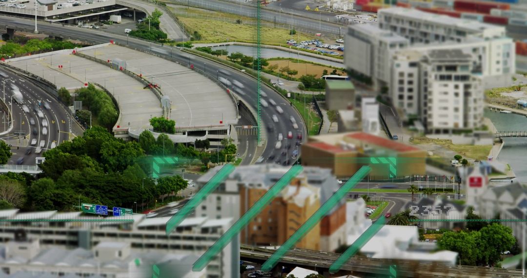
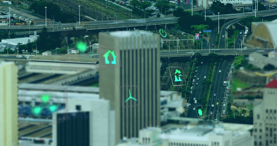
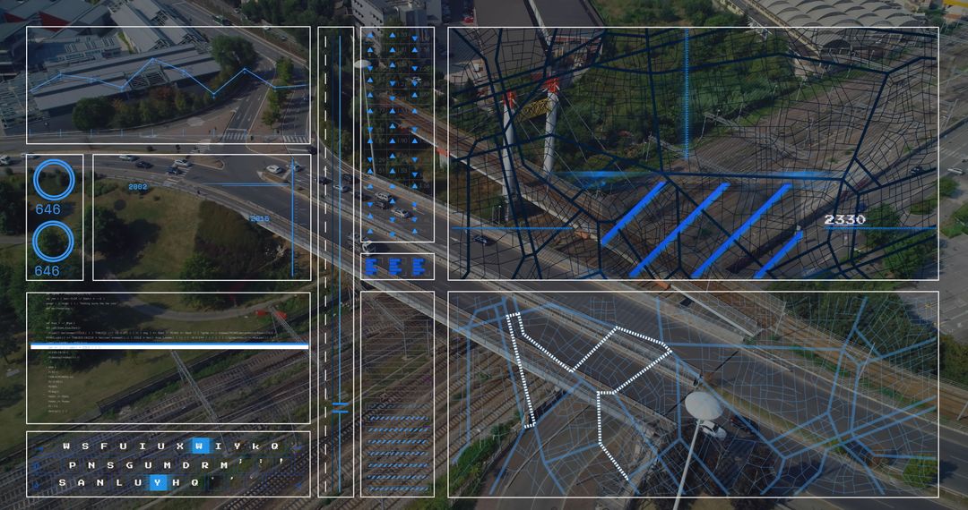
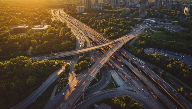
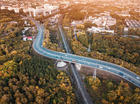
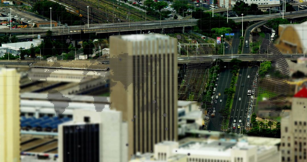
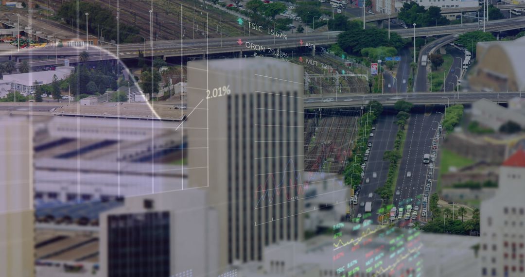
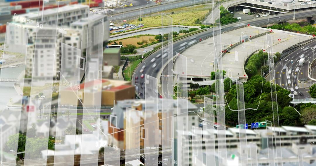
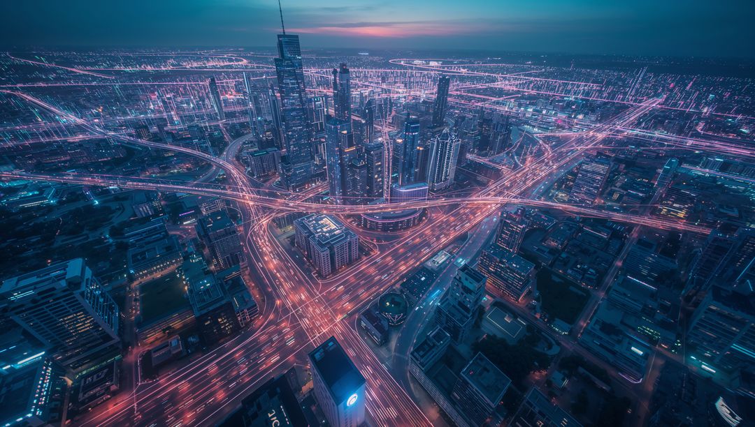
- Aerial highway overpass and rail junction with digital grid overlay for smart city design
Aerial highway overpass and rail junction with digital grid overlay for smart city design Image
High-angle aerial scene capturing highway overpass carrying multilane traffic over intersecting rail junction with urban skyline in background and translucent digital grid overlay suggesting data-driven infrastructure. Composition highlighting connectivity between road and rail, movement patterns, and spatial layout of metropolitan edge. Color palette offering cool, professional tone suitable for corporate and technical projects. Suggested uses: - Illustrating smart city planning presentations and transport strategy reports - Enhancing website hero banners for infrastructure, engineering, and logistics companies - Supporting editorial articles about mobility, intelligent transport systems, or digital twin technology - Serving as backdrop for pitch decks, annual reports, and urban development proposals - Creating marketing materials for civil engineering firms, transit authorities, and IoT startups - Designing cover art for whitepapers, brochures, or conference materials on connectivity and data visualization
Powered by 

0
downloads
downloads
Tags:
More
Credit Photo
If you would like to credit the Photo, here are some ways you can do so
Text Link
photo Link
<span class="text-link">
<span>
<a target="_blank" href=https://pikwizard.com/photo/aerial-highway-overpass-and-rail-junction-with-digital-grid-overlay-for-smart-city-design/6f98cf6e0efef40aa7a5a5328eaddb32/>PikWizard</a>
</span>
</span>
<span class="image-link">
<span
style="margin: 0 0 20px 0; display: inline-block; vertical-align: middle; width: 100%;"
>
<a
target="_blank"
href="https://pikwizard.com/photo/aerial-highway-overpass-and-rail-junction-with-digital-grid-overlay-for-smart-city-design/6f98cf6e0efef40aa7a5a5328eaddb32/"
style="text-decoration: none; font-size: 10px; margin: 0;"
>
<img src="https://pikwizard.com/pw/medium/6f98cf6e0efef40aa7a5a5328eaddb32.jpg" style="margin: 0; width: 100%;" alt="" />
<p style="font-size: 12px; margin: 0;">PikWizard</p>
</a>
</span>
</span>
Free (free of charge)
Free for personal and commercial use.
Author: Awesome Content
Similar Free Stock Images
Premium

Premium

Premium


Premium


Premium


Premium


Premium


Premium

Premium


Premium


Premium


Premium

Premium

Premium

Premium

Premium

Premium


Premium


Premium


Premium


Premium


Premium


Premium


Premium