- Home >
- Stock Photos >
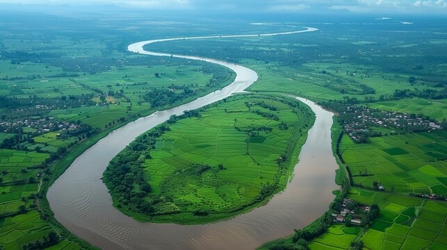
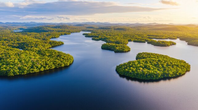
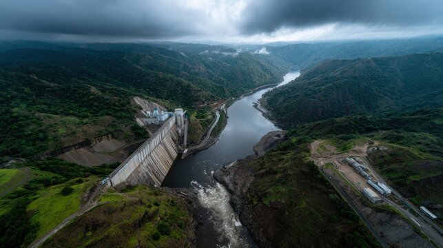
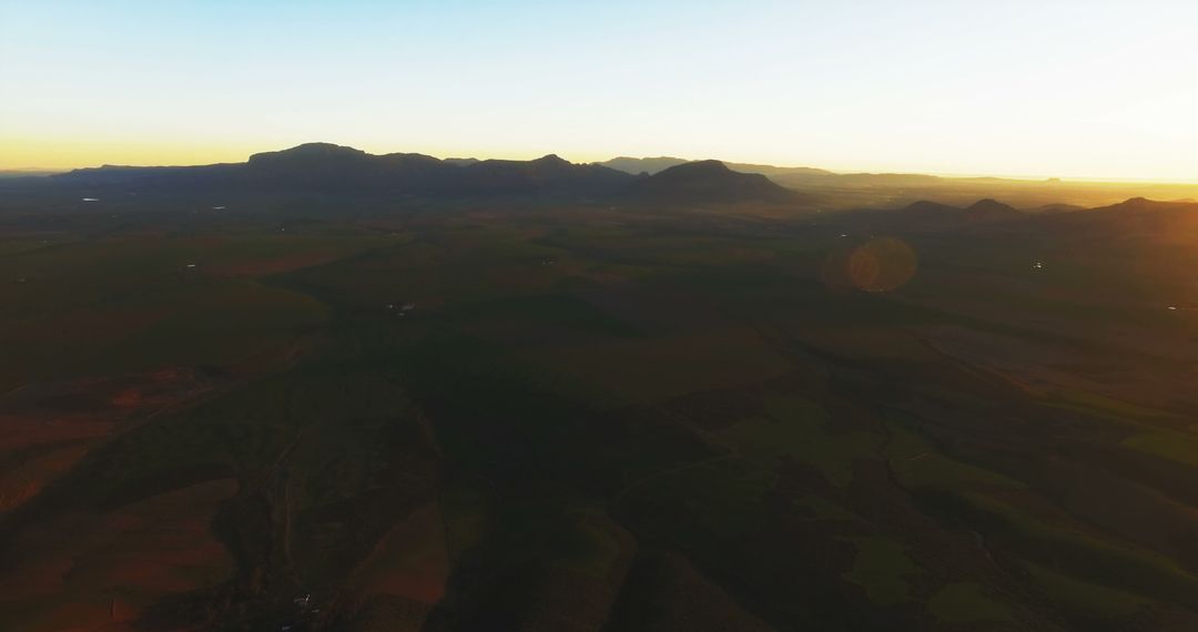
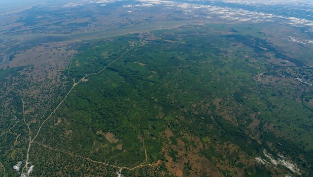
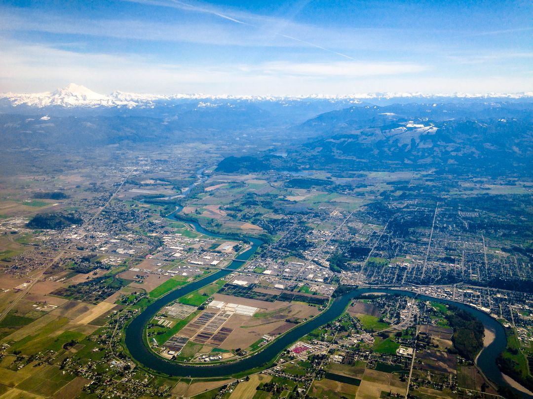
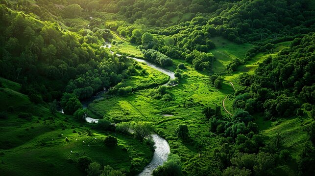
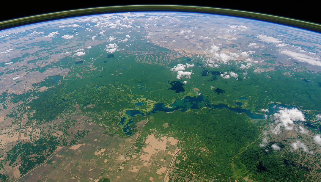
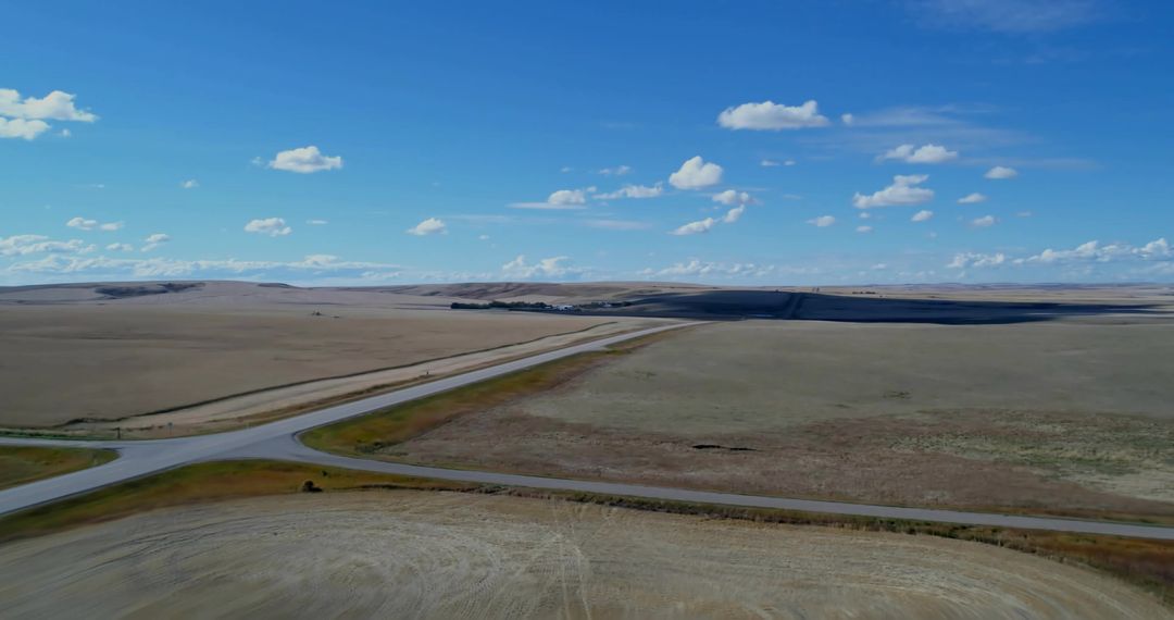
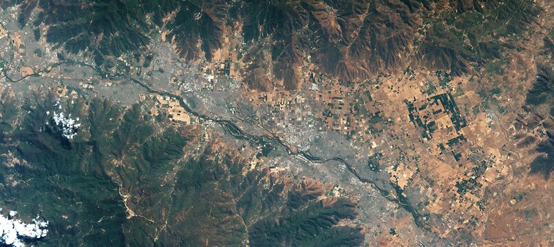
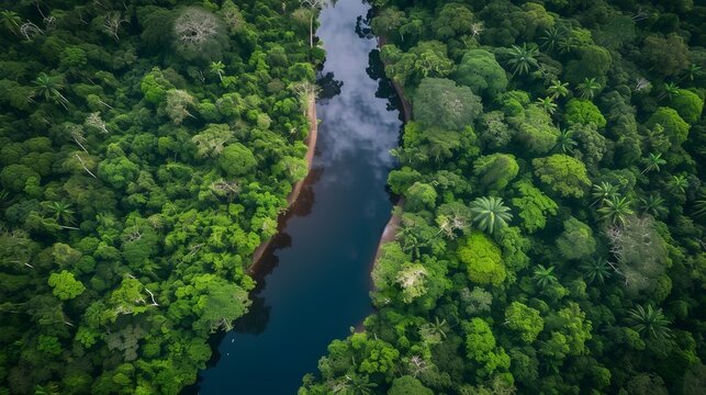
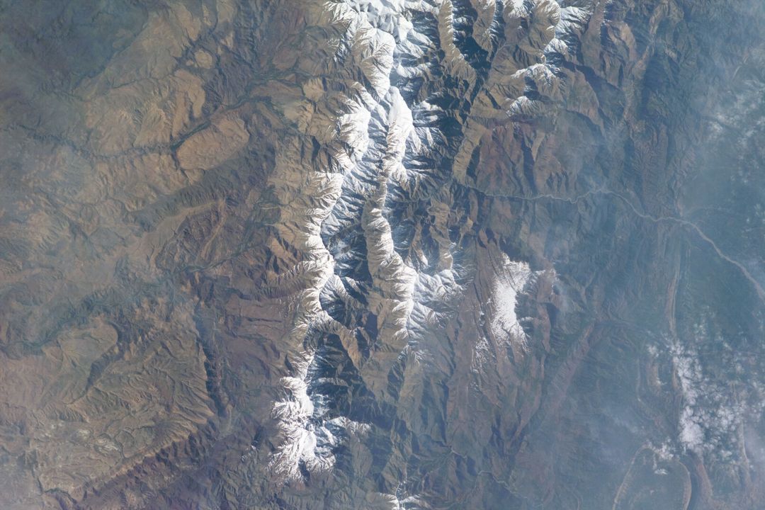
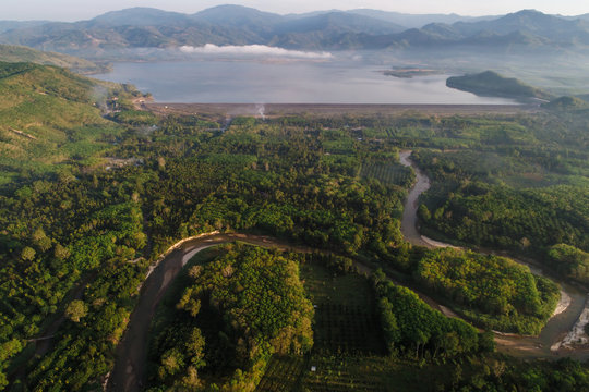
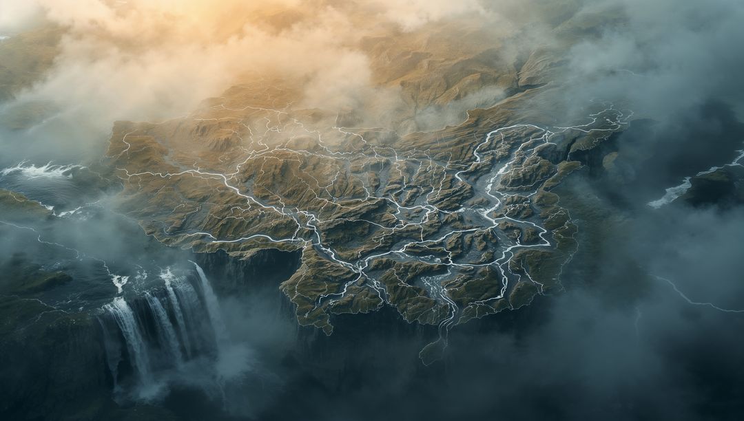
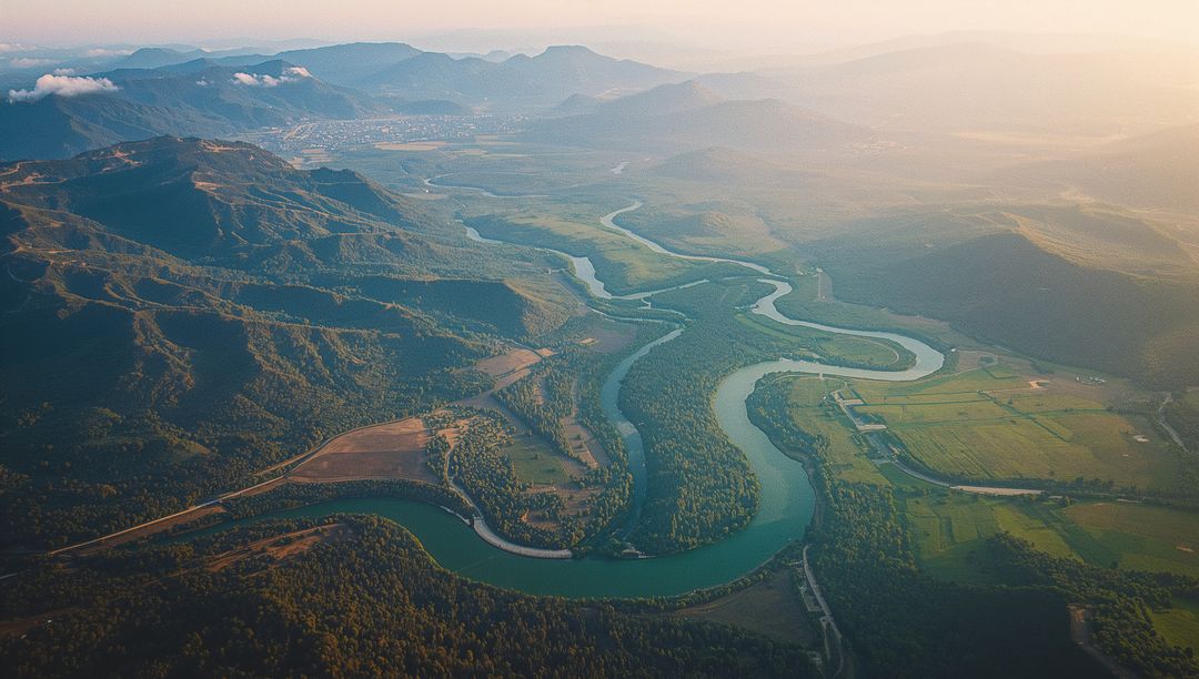
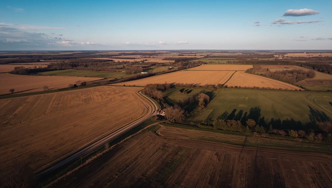
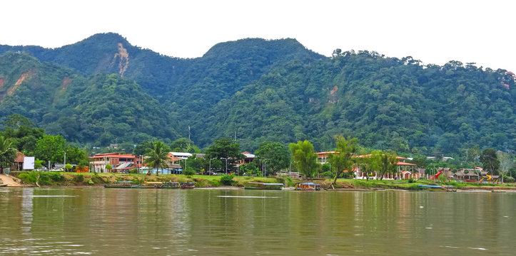
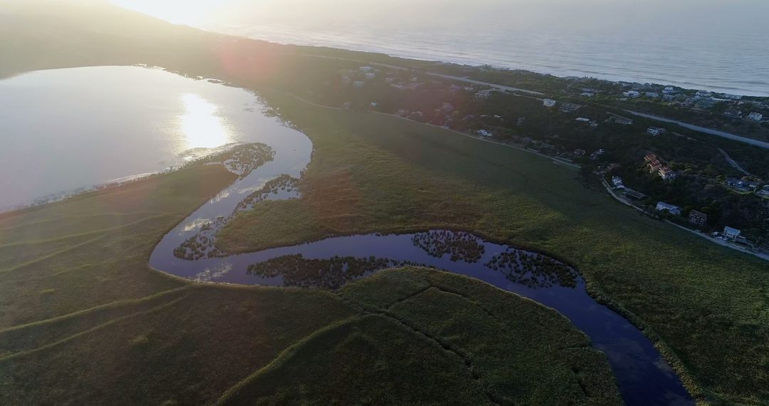
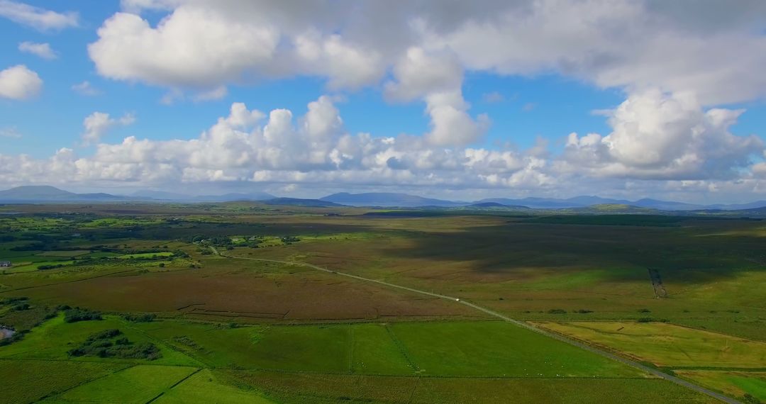
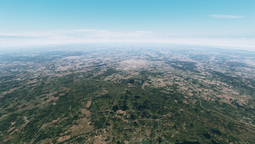
- Aerial Landscape of Rural River Basin with Lush Forest and Fields
Aerial Landscape of Rural River Basin with Lush Forest and Fields Image

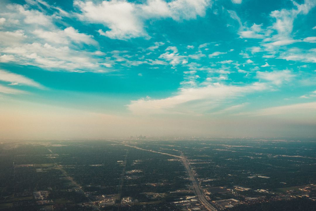
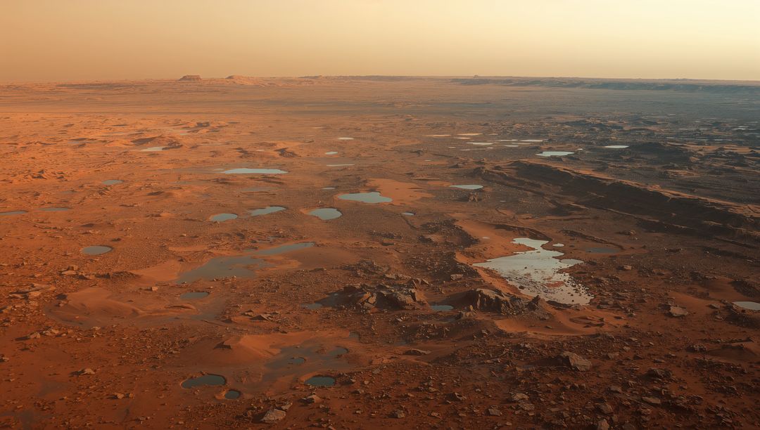
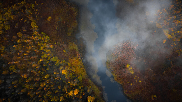
AI Generated Image. The scenery captures an expansive rural river basin prominently featuring a robust network of lush forests interspersed with fields and farmland. Meandering rivers grace the landscape, accompanying winding roadways traversing the vibrant countryside. Consider using this depiction in projects that focus on geography, environmental conservation, rural development, ecological diversity, or serene natural beauty.
Powered by 


0
downloads
downloads
Tags:
More
Credit Photo
If you would like to credit the Photo, here are some ways you can do so
Text Link
photo Link
<span class="text-link">
<span>
<a target="_blank" href=https://pikwizard.com/photo/aerial-landscape-of-rural-river-basin-with-lush-forest-and-fields/977d5fc62f64fdcfe297e4ddcc9e7e68/>PikWizard</a>
</span>
</span>
<span class="image-link">
<span
style="margin: 0 0 20px 0; display: inline-block; vertical-align: middle; width: 100%;"
>
<a
target="_blank"
href="https://pikwizard.com/photo/aerial-landscape-of-rural-river-basin-with-lush-forest-and-fields/977d5fc62f64fdcfe297e4ddcc9e7e68/"
style="text-decoration: none; font-size: 10px; margin: 0;"
>
<img src="https://pikwizard.com/pw/medium/977d5fc62f64fdcfe297e4ddcc9e7e68.jpg" style="margin: 0; width: 100%;" alt="" />
<p style="font-size: 12px; margin: 0;">PikWizard</p>
</a>
</span>
</span>
Free (free of charge)
Free for personal and commercial use.
Author: AI Creator
Similar Free Stock Images

Premium


Premium


Premium
Premium


Premium


Premium


Premium

Premium


Premium
Premium


Premium

Premium


Premium
Premium


Premium
Premium


Premium


Premium


Premium


Premium

Premium
Premium


Premium


Premium