- Home >
- Stock Photos >
- Aerial Precision Agriculture with Holographic Data Overlay
Aerial Precision Agriculture with Holographic Data Overlay Image
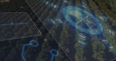
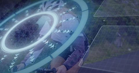
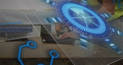
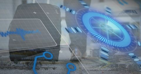
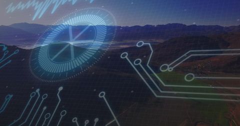
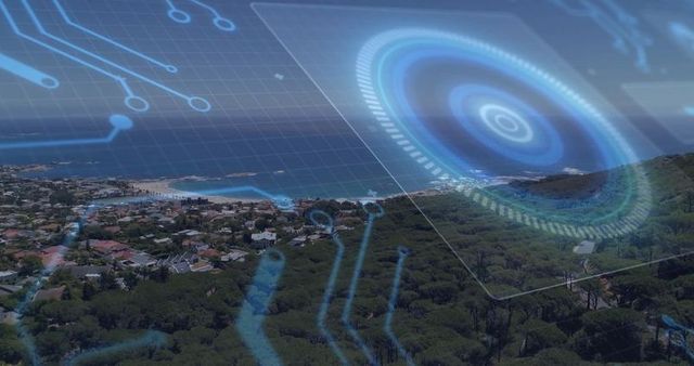
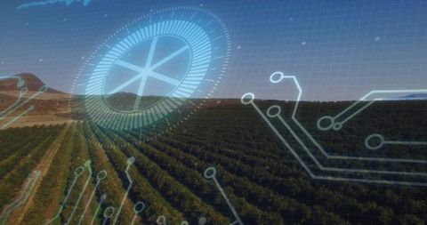
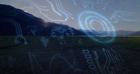
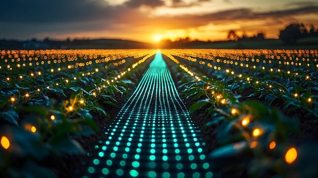
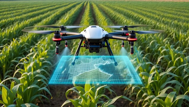
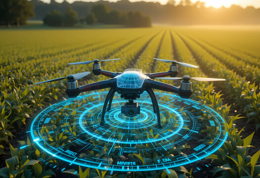
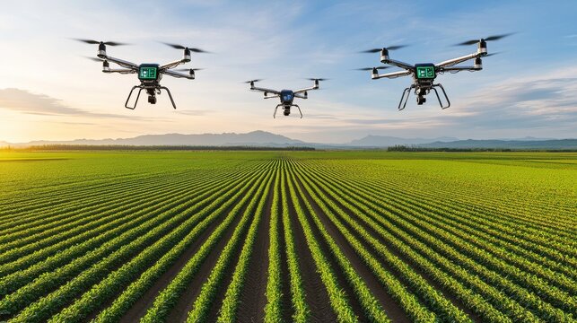
Aerial view showcases rows of an orchard monitored with holographic data. Represents cutting-edge precision agriculture using sensors and automation to optimize cultivation and environmental sustainability. Ideal for illustrating technological advancements in farming, promoting smart agriculture applications, and highlighting environmental optimization solutions.
Powered by 


0
downloads
downloads
Tags:
More
Credit Photo
If you would like to credit the Photo, here are some ways you can do so
Text Link
photo Link
<span class="text-link">
<span>
<a target="_blank" href=https://pikwizard.com/photo/aerial-precision-agriculture-with-holographic-data-overlay/5555cd21cf710610f977dac5f88d1938/>PikWizard</a>
</span>
</span>
<span class="image-link">
<span
style="margin: 0 0 20px 0; display: inline-block; vertical-align: middle; width: 100%;"
>
<a
target="_blank"
href="https://pikwizard.com/photo/aerial-precision-agriculture-with-holographic-data-overlay/5555cd21cf710610f977dac5f88d1938/"
style="text-decoration: none; font-size: 10px; margin: 0;"
>
<img src="https://pikwizard.com/pw/medium/5555cd21cf710610f977dac5f88d1938.jpg" style="margin: 0; width: 100%;" alt="" />
<p style="font-size: 12px; margin: 0;">PikWizard</p>
</a>
</span>
</span>
Free (free of charge)
Free for personal and commercial use.
Author: Awesome Content