- Home >
- Stock Photos >
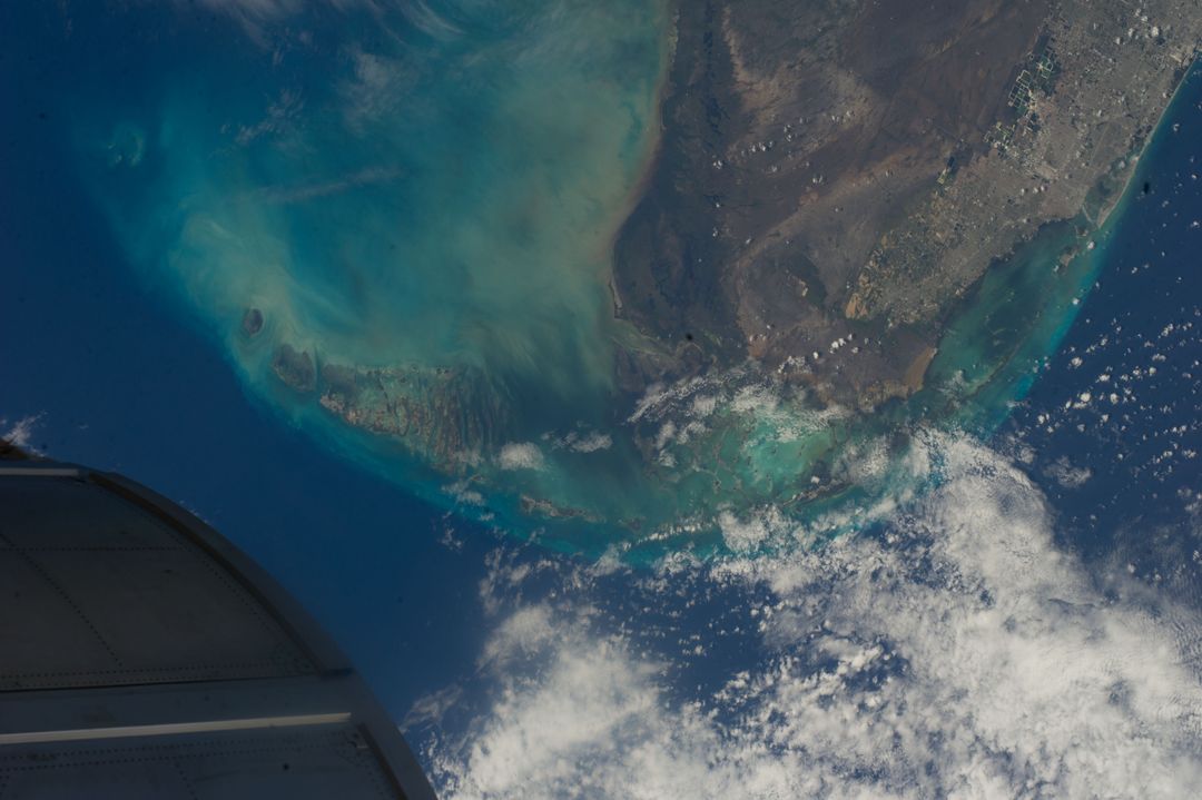
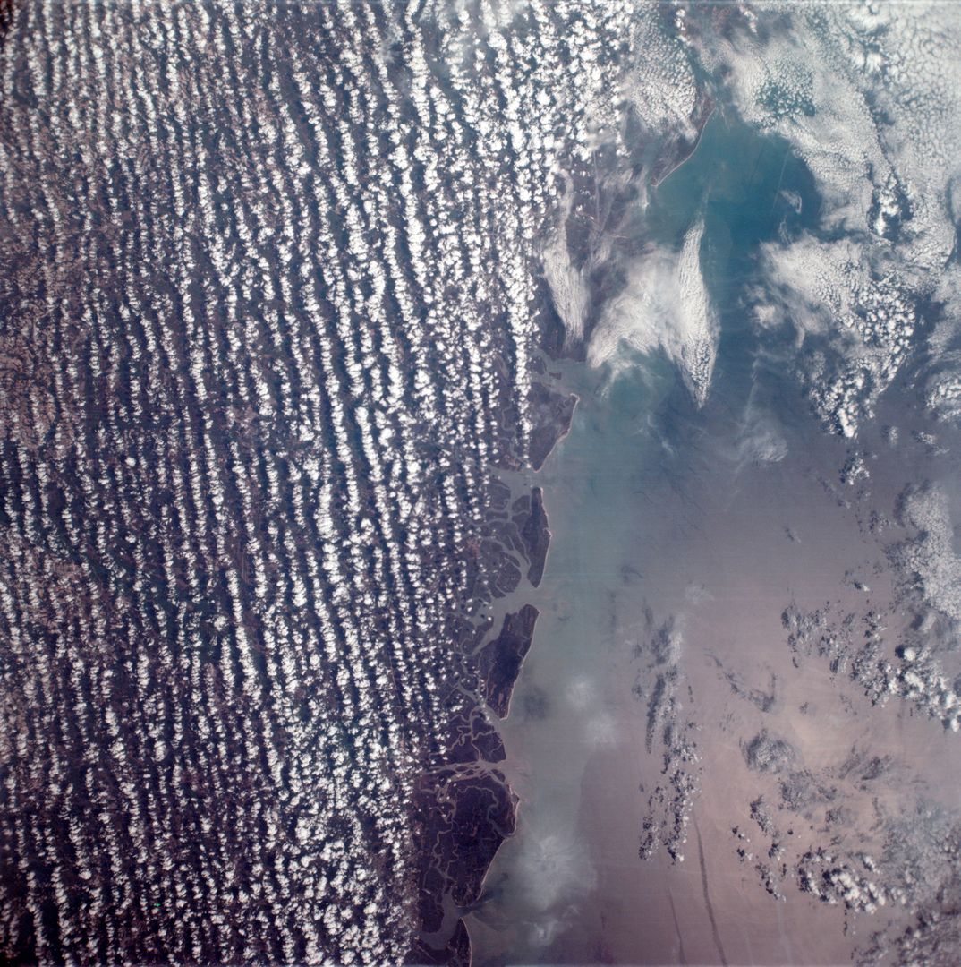
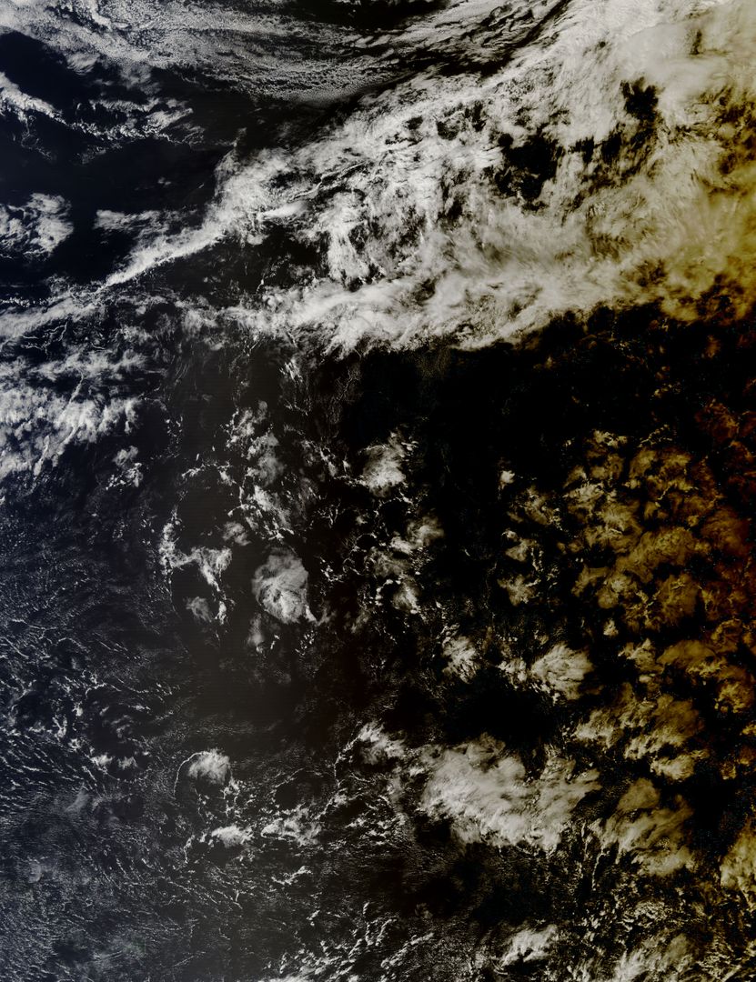
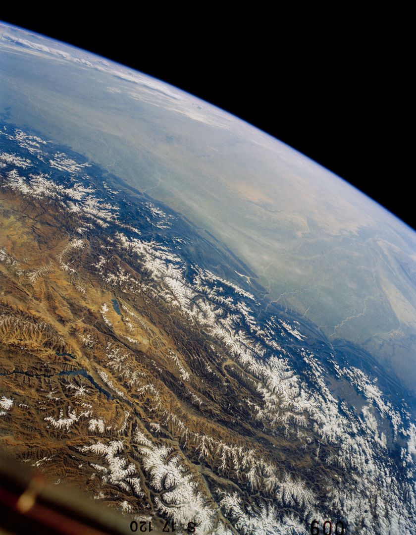
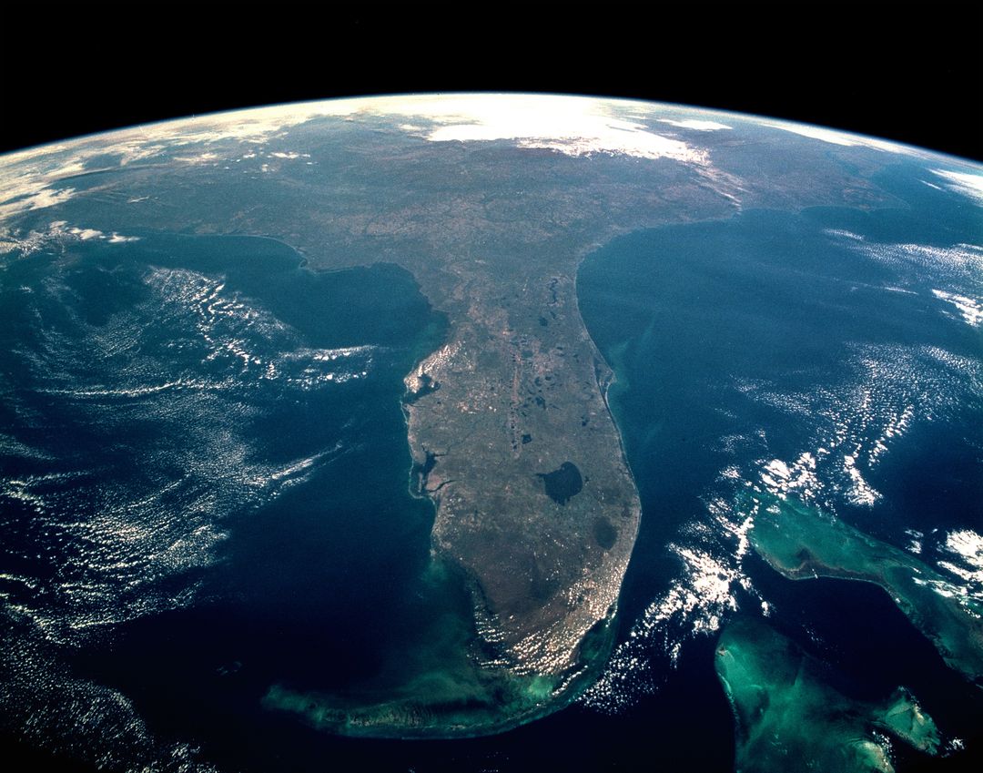
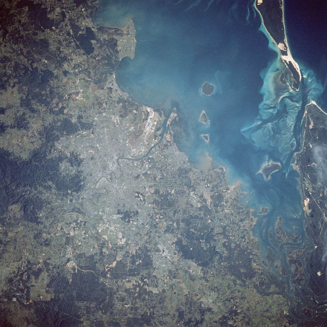
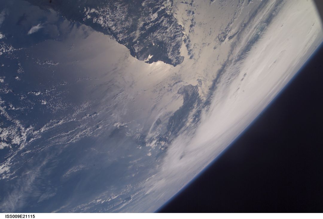
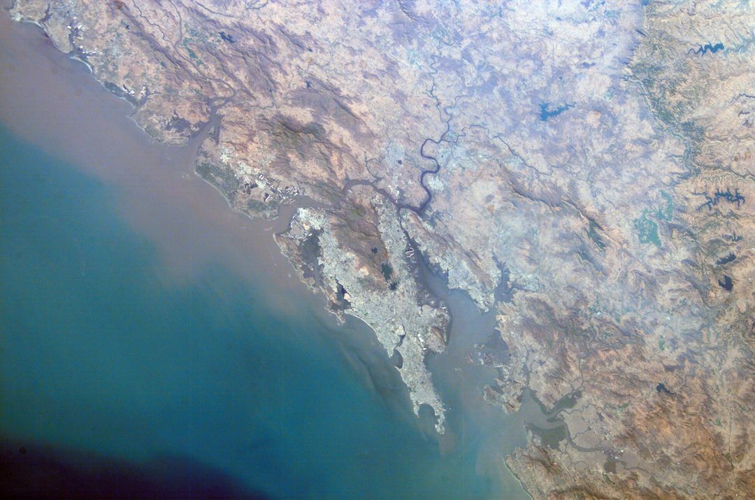
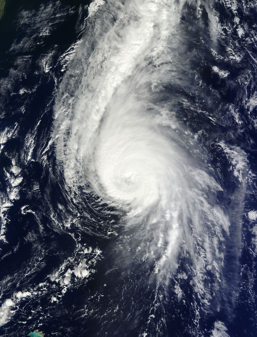
- Aerial View of Burma's Coast and Irrawaddy River from Space, 1963
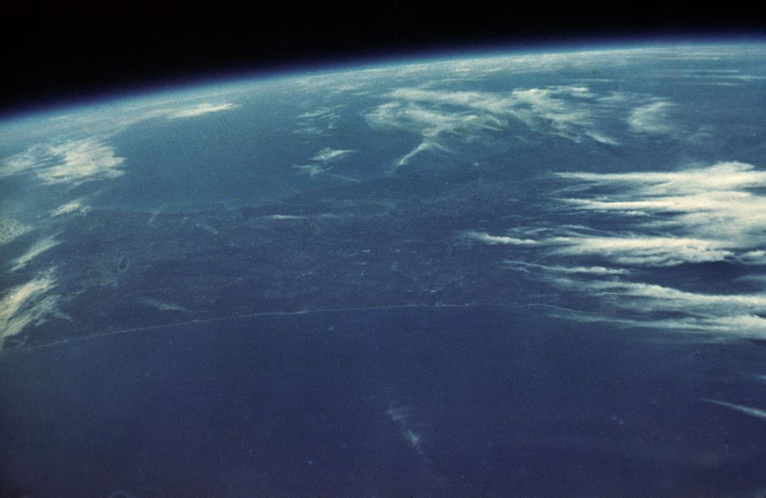
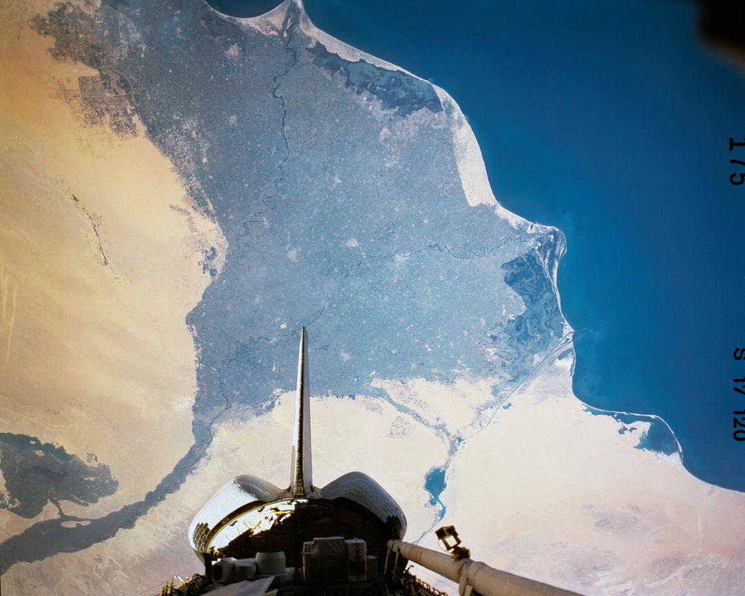
Aerial View of Burma's Coast and Irrawaddy River from Space, 1963 Image
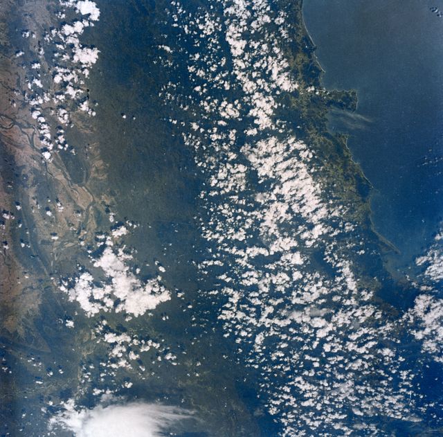
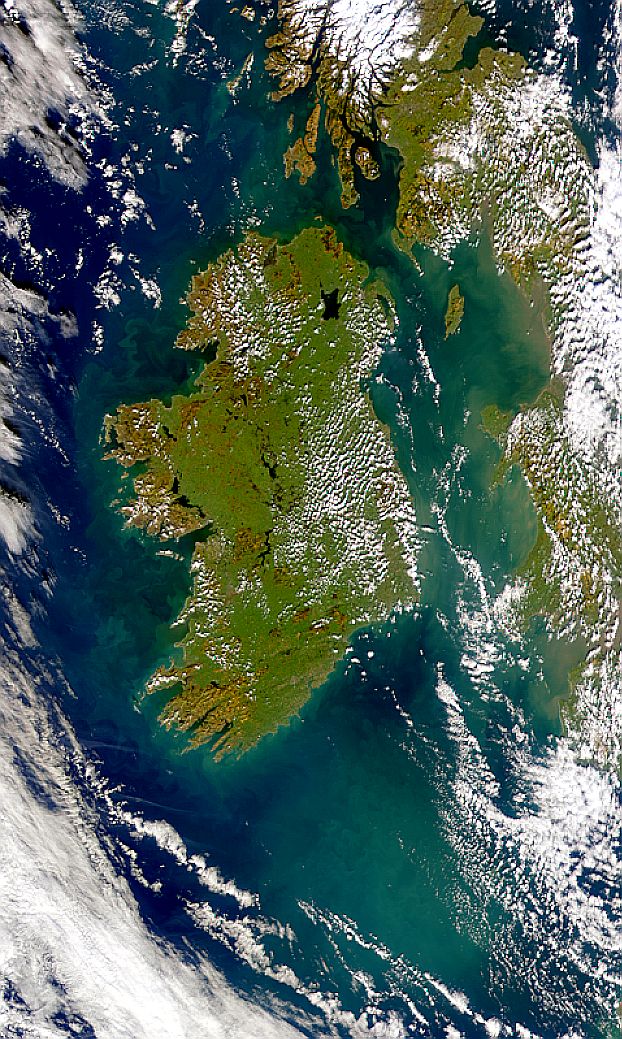
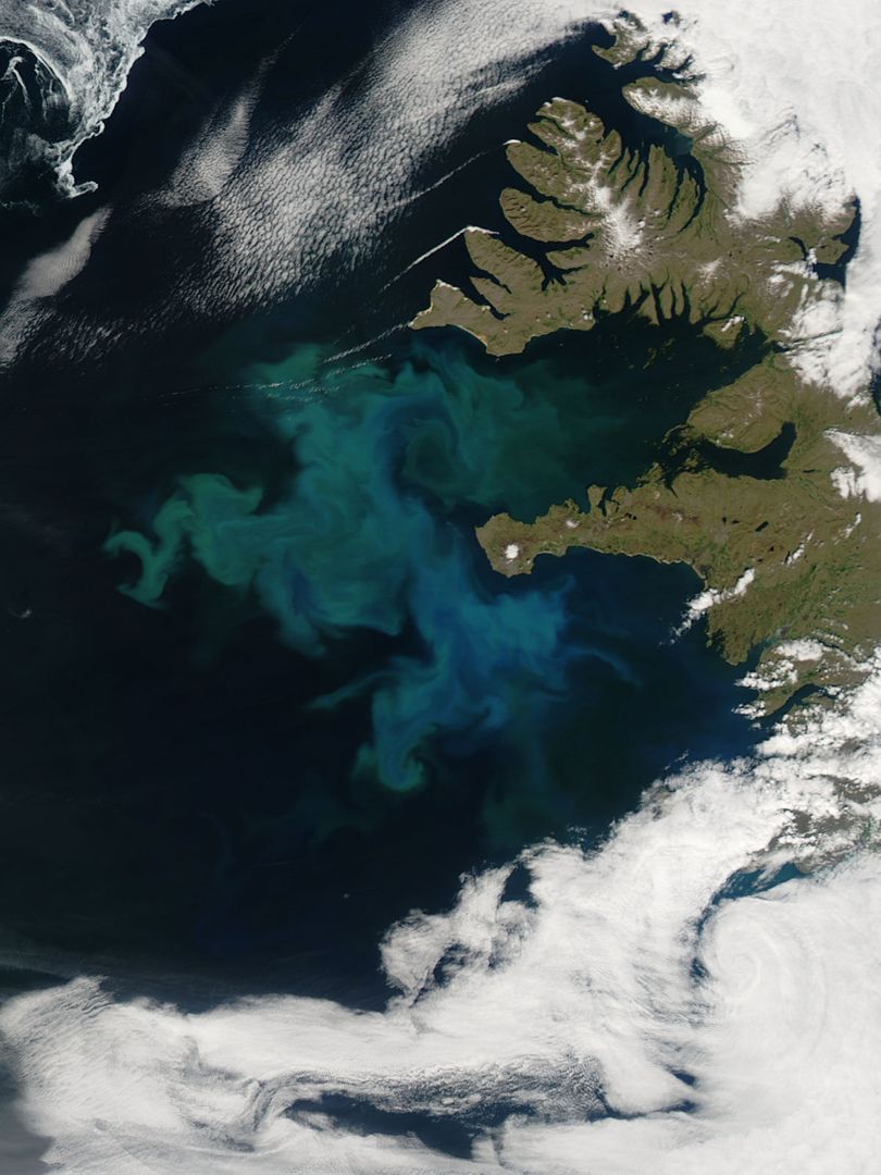
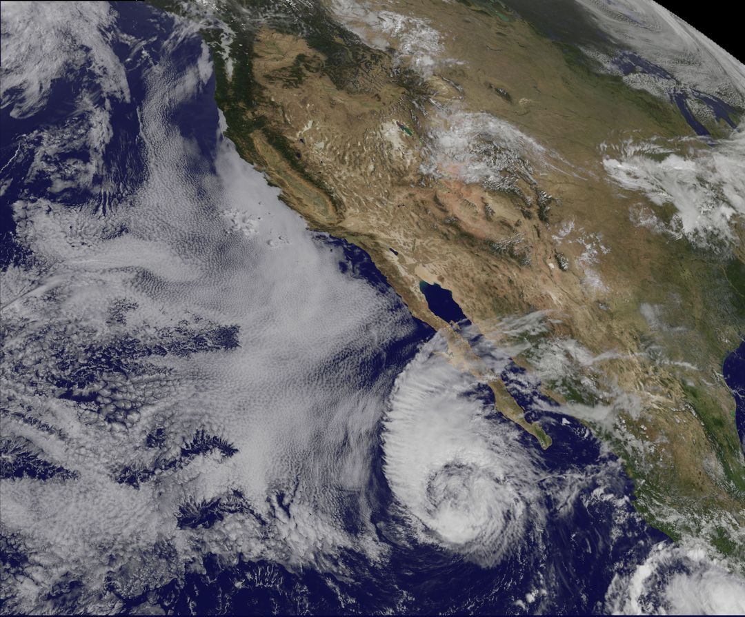
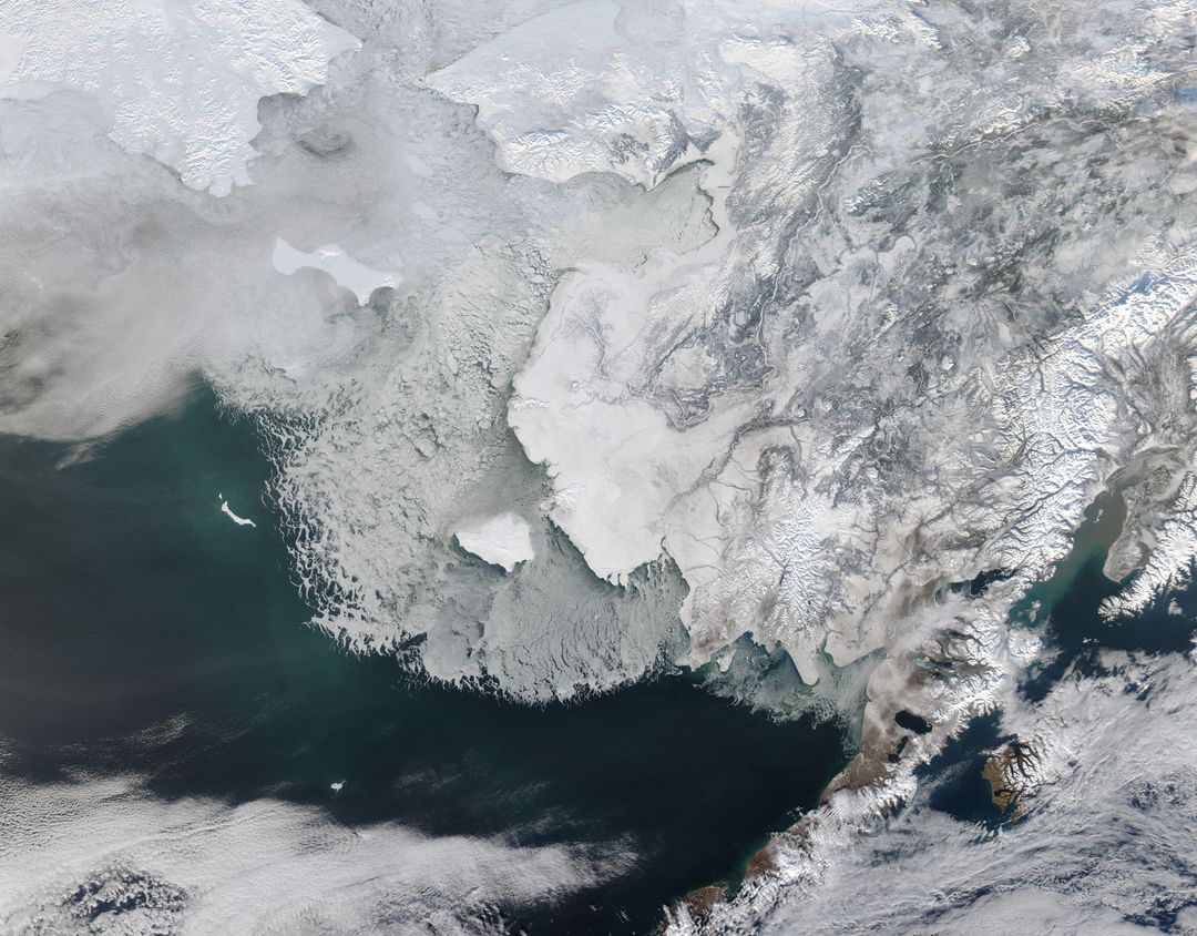
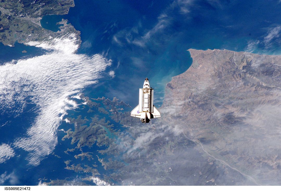
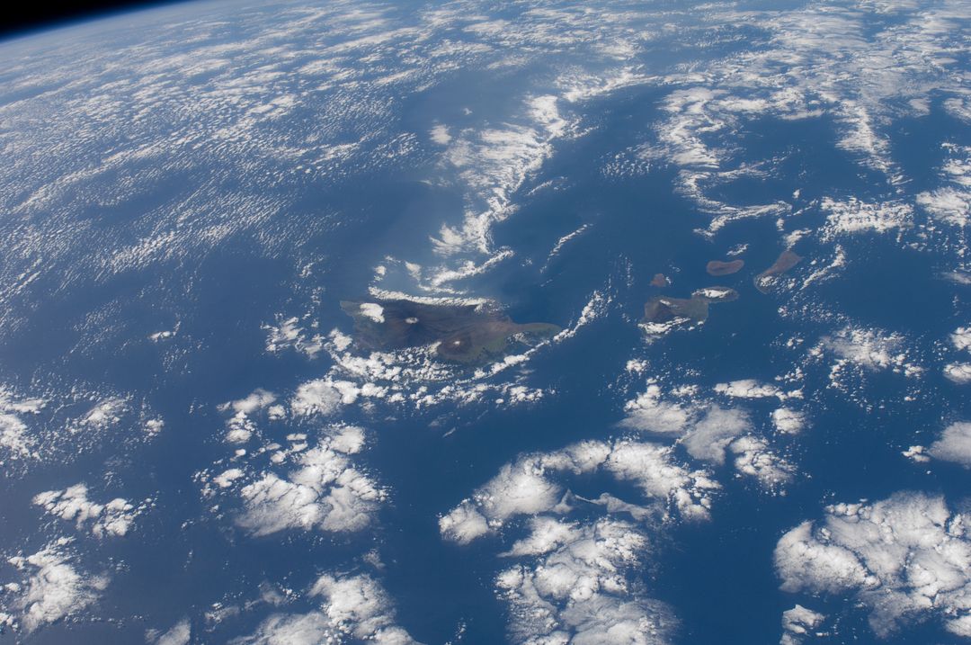
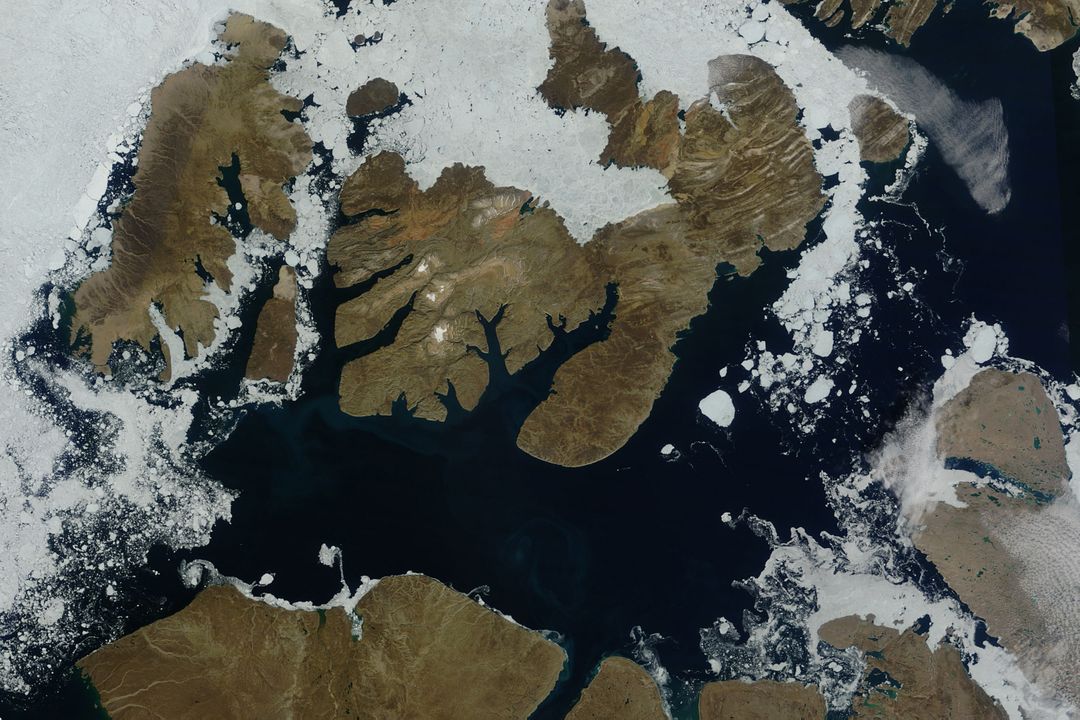
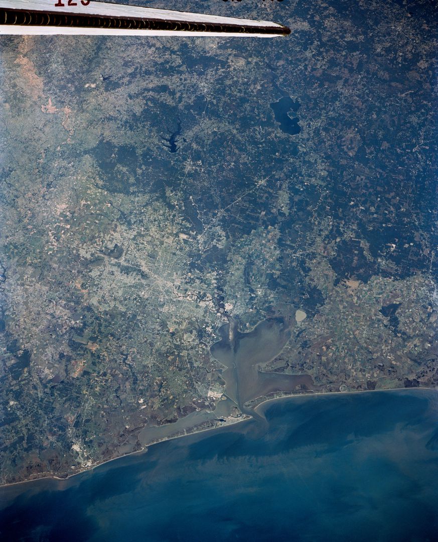
Aerial view of Burma’s west coast, with Irrawaddy River visible. Taken by astronaut L. Gordon Cooper Jr. During the Mercury Atlas 9 mission (1963). Ideal for use in historical, educational, and geographical content. Excellent for illustrating early space photography, river formations, and coastal regions from space.
Powered by 


Credit Photo
If you would like to credit the Photo, here are some ways you can do so
Text Link
photo Link
<span class="text-link">
<span>
<a target="_blank" href=https://pikwizard.com/photo/aerial-view-of-burmas-coast-and-irrawaddy-river-from-space-1963/096867ae5650aef5a088be7f856bff5b/>PikWizard</a>
</span>
</span>
<span class="image-link">
<span
style="margin: 0 0 20px 0; display: inline-block; vertical-align: middle; width: 100%;"
>
<a
target="_blank"
href="https://pikwizard.com/photo/aerial-view-of-burmas-coast-and-irrawaddy-river-from-space-1963/096867ae5650aef5a088be7f856bff5b/"
style="text-decoration: none; font-size: 10px; margin: 0;"
>
<img src="https://pikwizard.com/pw/medium/096867ae5650aef5a088be7f856bff5b.jpg" style="margin: 0; width: 100%;" alt="" />
<p style="font-size: 12px; margin: 0;">PikWizard</p>
</a>
</span>
</span>
CC0 (Creative Commons Zero)
Free for personal and commercial use.
Similar Free Stock Images
Premium
Premium


Premium


Premium

Premium


Premium


Premium

Premium

Premium


Premium

Premium

Premium


Premium


Premium
Premium

Premium

Premium


Premium

Premium
Premium


Premium
Premium


Premium
Premium