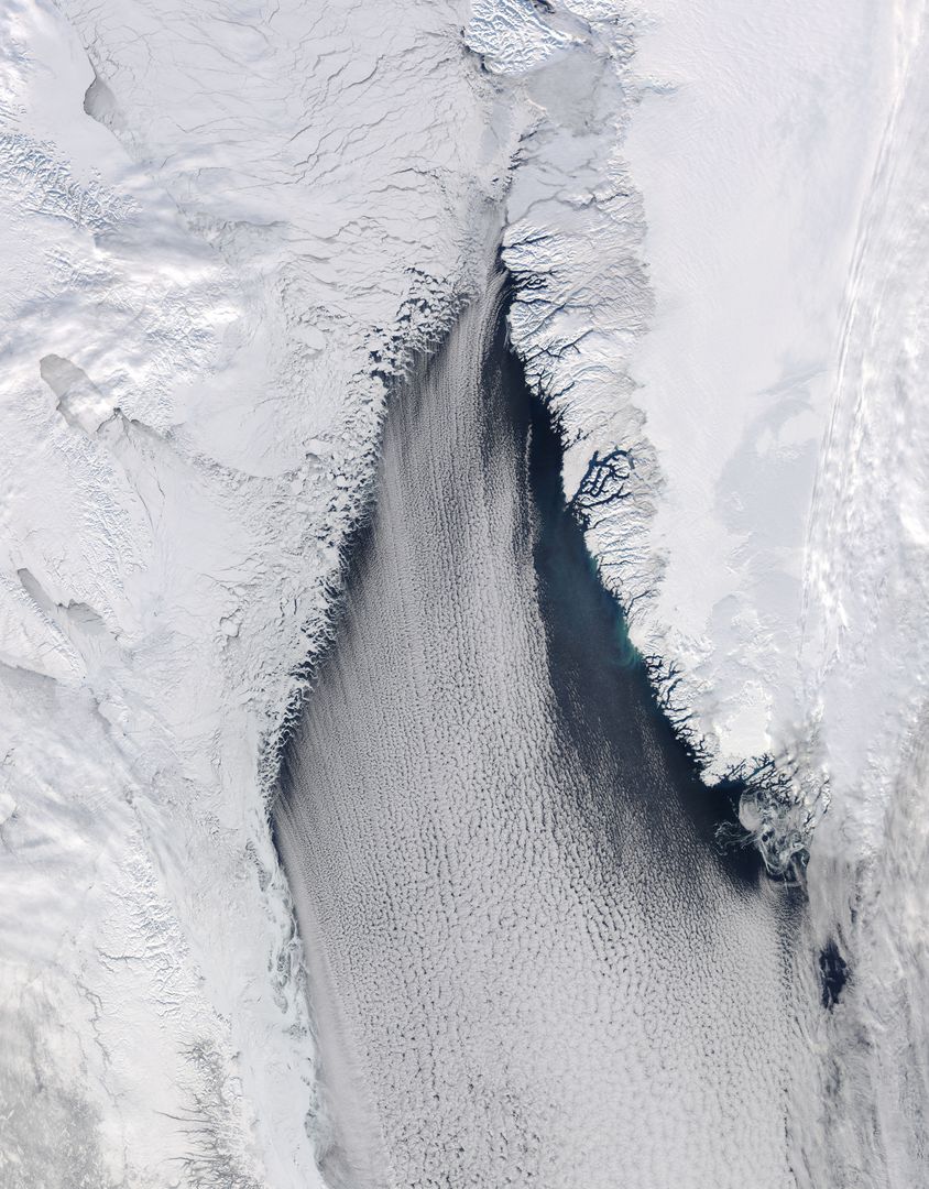
Aerial View of Cloud Streets and Ice in Davis Strait, February 2013 Image

Aerial image showcasing 'cloud streets' over Davis Strait between Canada and Greenland, captured by NASA's Aqua satellite on February 22, 2013. The image demonstrates the impact of Arctic winds on cloud formation as they blow from Baffin Bay over the Labrador Sea. Suitable for educational materials, climate studies, geographical content highlighting North Atlantic areas, and weather pattern analysis.
downloads
Credit Photo
If you would like to credit the Photo, here are some ways you can do so
CC0 (Creative Commons Zero)
Free for personal and commercial use.


