- Home >
- Stock Photos >
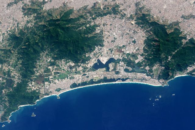
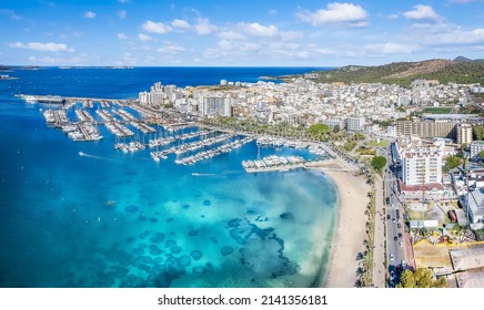
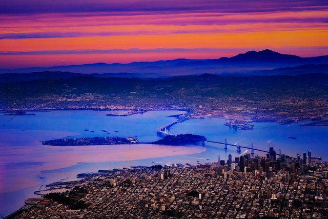
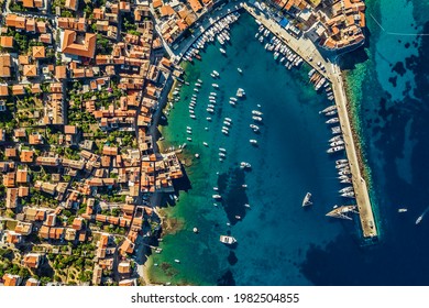
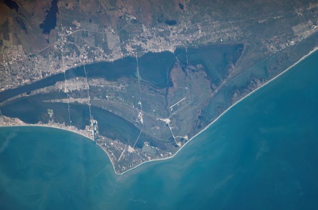
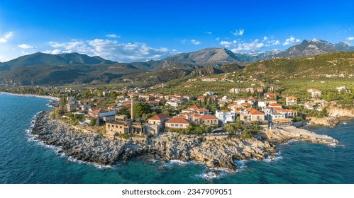
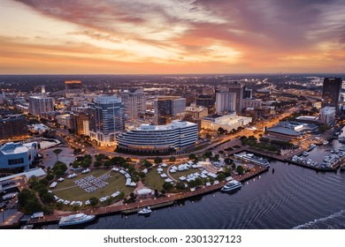
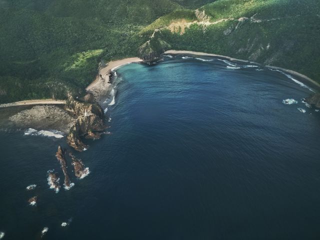
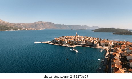
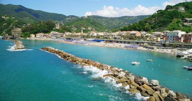
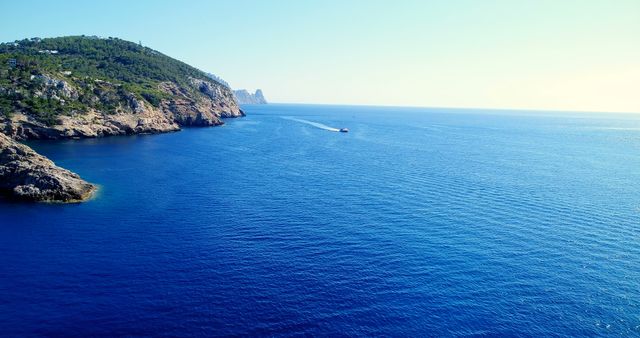
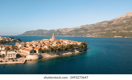
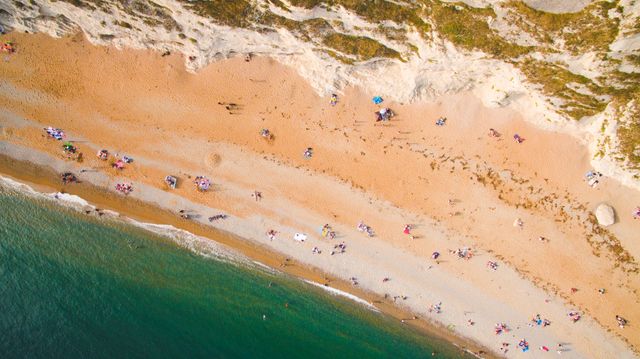
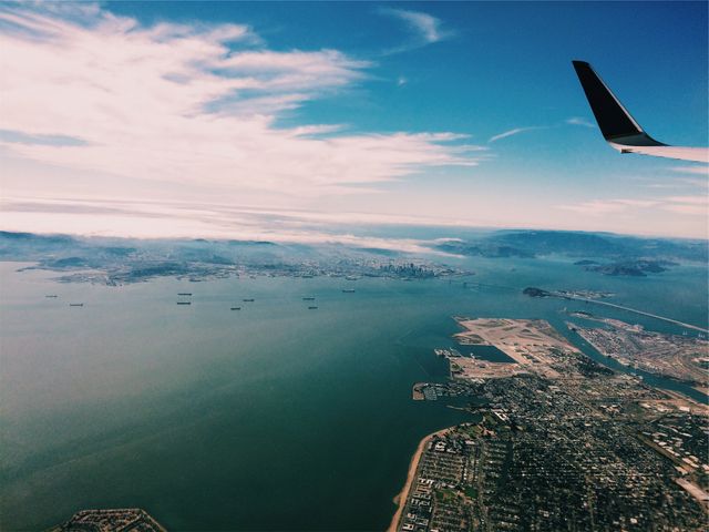
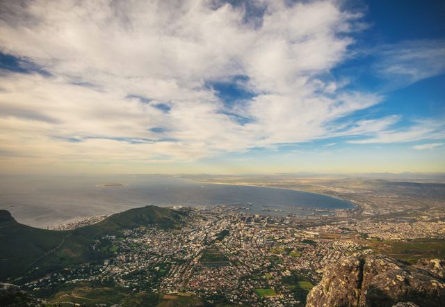
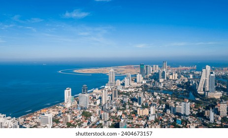
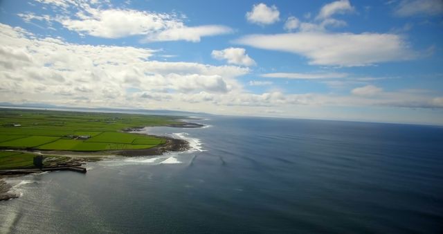
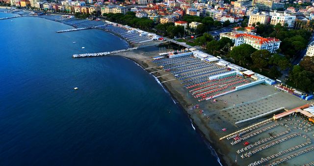
- Aerial View of Coastal City with Port Infrastructure and Surrounding Landscape
Aerial View of Coastal City with Port Infrastructure and Surrounding Landscape Image
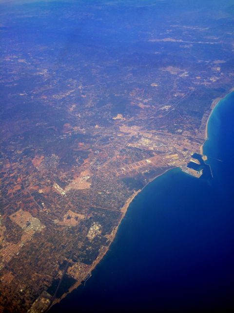
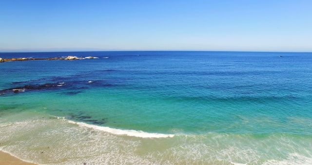
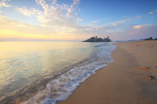
Provides a stunning aerial perspective of a coastal city complete with a prominent port area, surrounded by urban sprawl and connected by roads winding through the city. This visual can be used for presentations about geography, urban development, coastal infrastructure, transport connections, and city planning.
Powered by  - Get 15% off with code: PIKWIZARD15


Credit Photo
If you would like to credit the Photo, here are some ways you can do so
Text Link
photo Link
<span class="text-link">
<span>
<a target="_blank" href=https://pikwizard.com/photo/aerial-view-of-coastal-city-with-port-infrastructure-and-surrounding-landscape/c832ebce7fadac7999610b525151e7d2/>PikWizard</a>
</span>
</span>
<span class="image-link">
<span
style="margin: 0 0 20px 0; display: inline-block; vertical-align: middle; width: 100%;"
>
<a
target="_blank"
href="https://pikwizard.com/photo/aerial-view-of-coastal-city-with-port-infrastructure-and-surrounding-landscape/c832ebce7fadac7999610b525151e7d2/"
style="text-decoration: none; font-size: 10px; margin: 0;"
>
<img src="https://pikwizard.com/pw/medium/c832ebce7fadac7999610b525151e7d2.jpg" style="margin: 0; width: 100%;" alt="" />
<p style="font-size: 12px; margin: 0;">PikWizard</p>
</a>
</span>
</span>
CC0 (Creative Commons Zero)
Free for personal and commercial use.
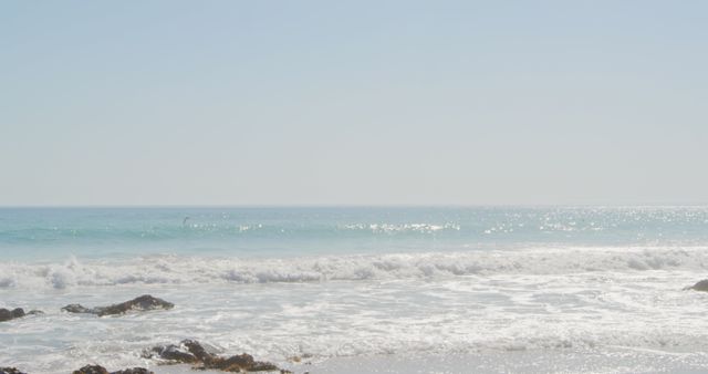
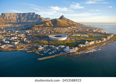
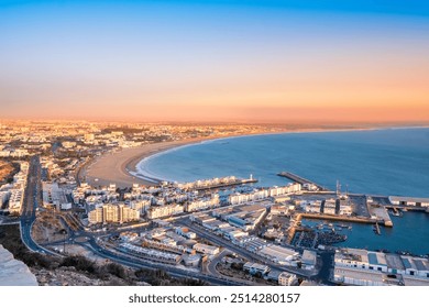
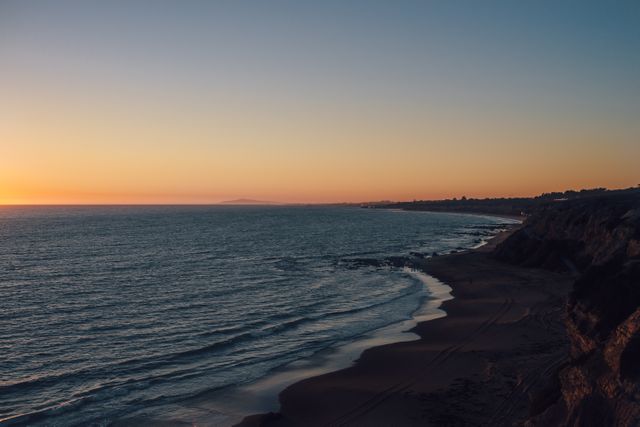
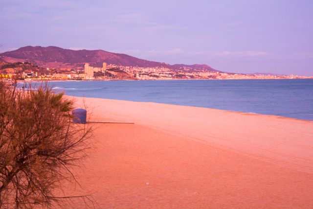
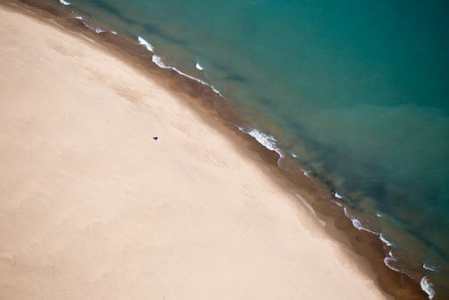
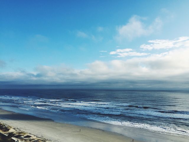
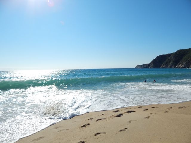
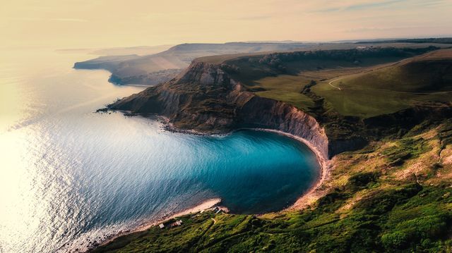
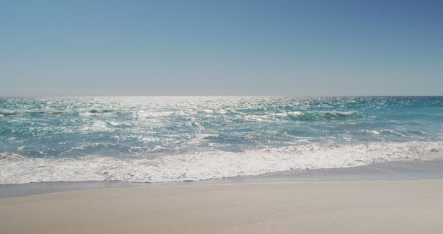
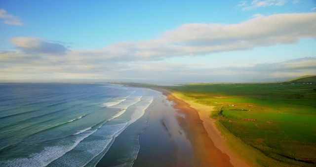
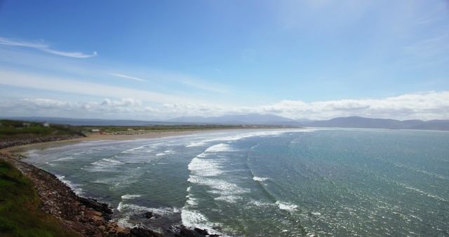
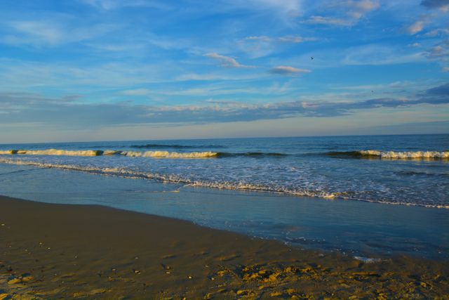
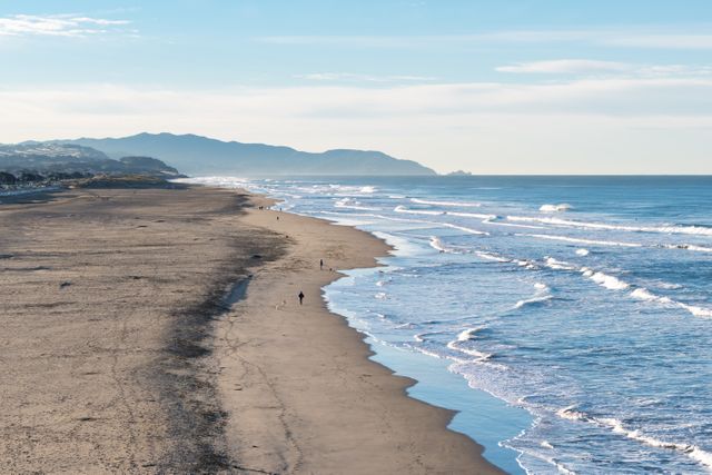
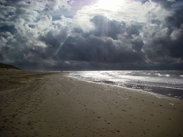
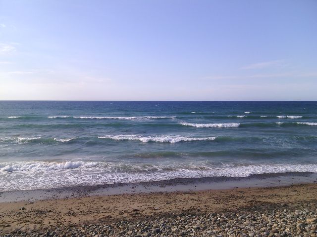
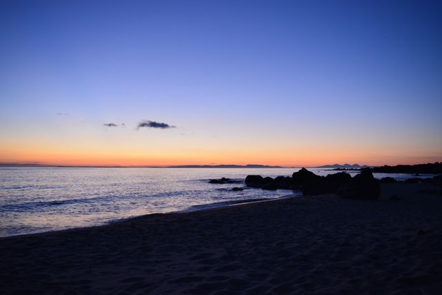
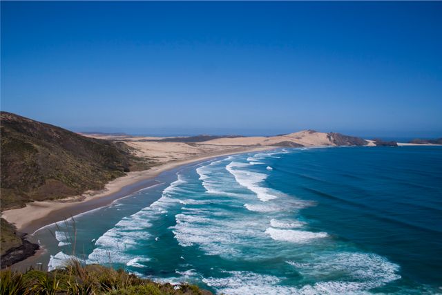
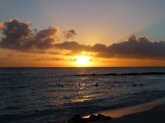
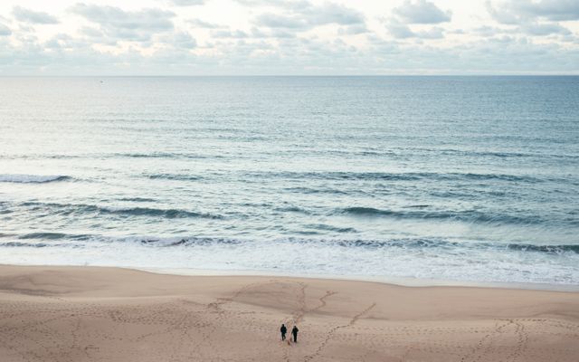
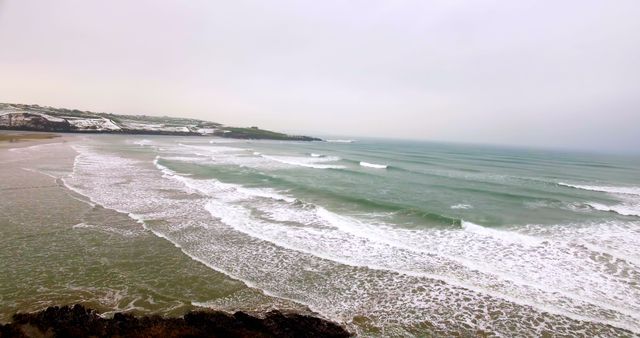
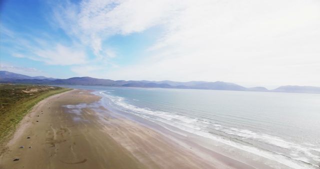
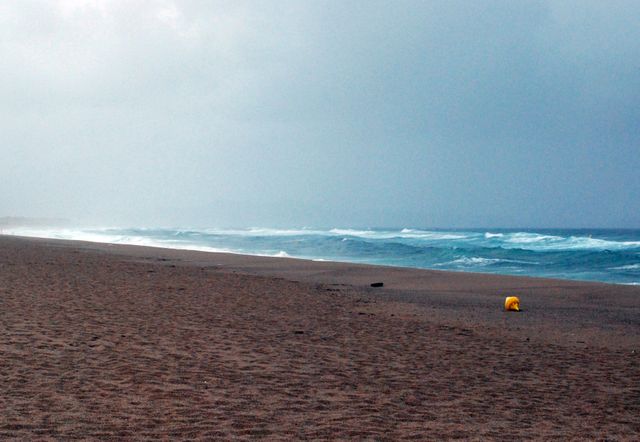
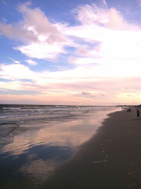
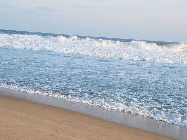
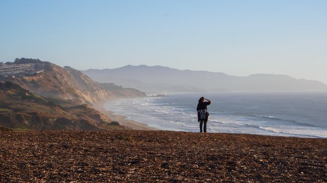
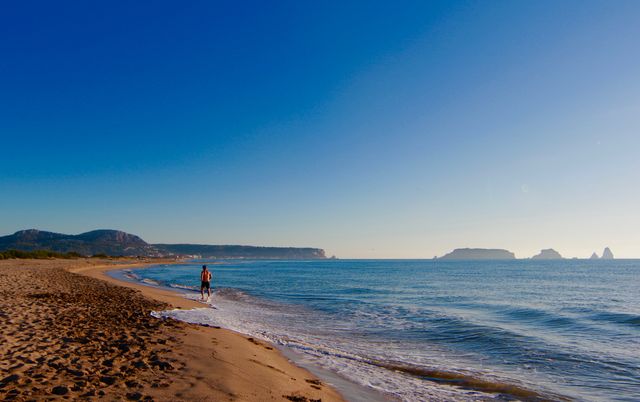
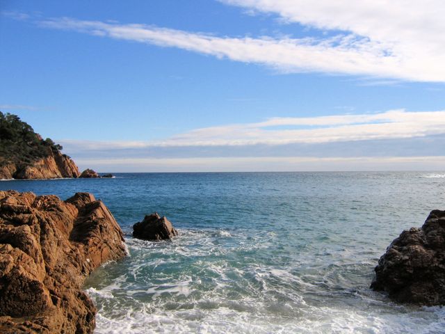
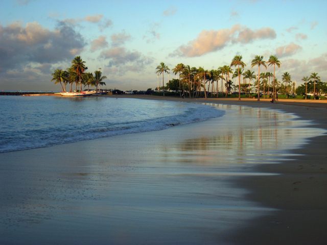
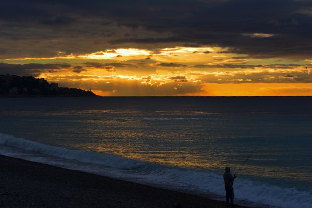
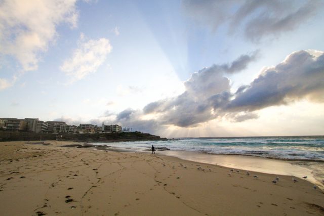
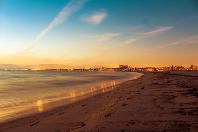
Similar Free Stock Images

Premium

Premium
Premium


Premium
Premium

Premium

Premium

Premium


Premium

Premium


Premium

Premium


Premium


Premium

Premium
Premium


Premium


Premium


Premium

Premium


Premium

Premium


Premium

Premium

Premium