
- Home >
- Stock Photos >
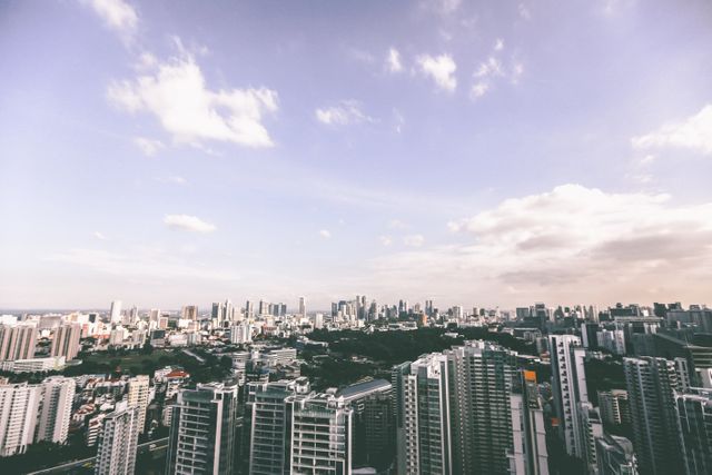
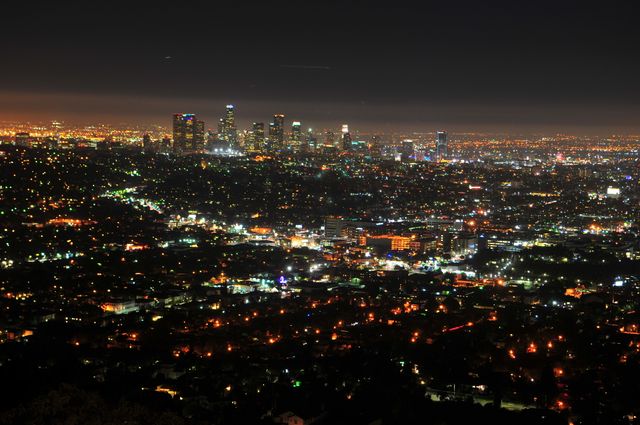
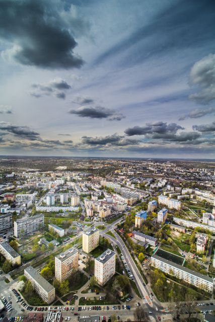
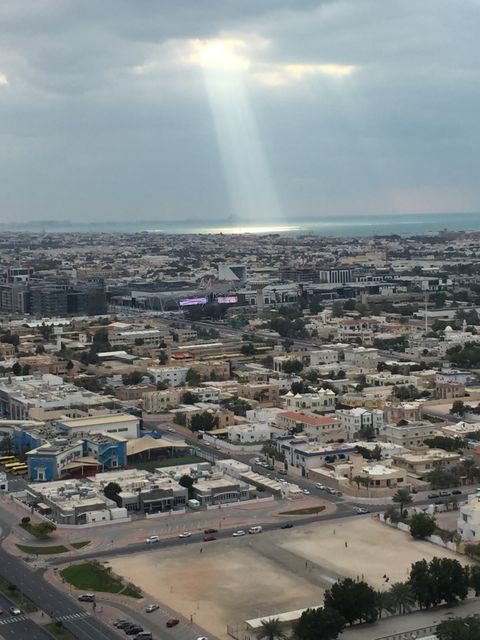
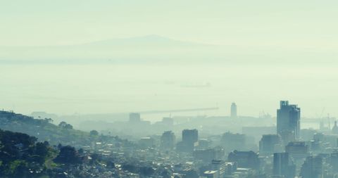
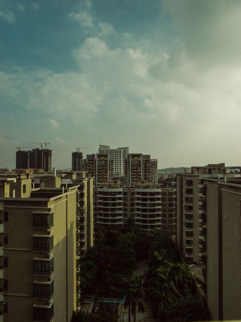
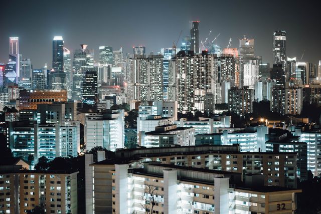
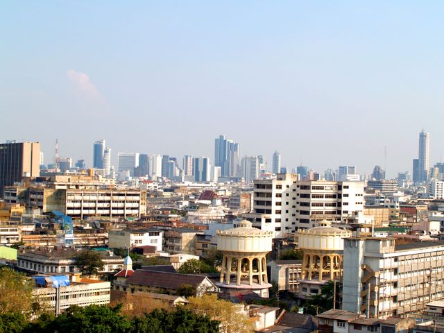
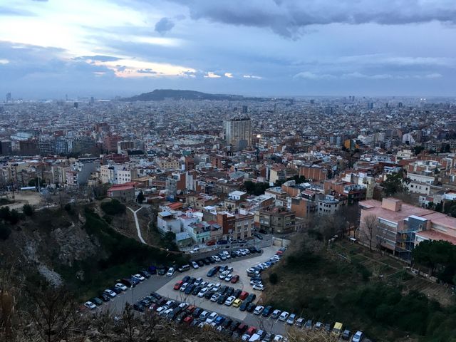
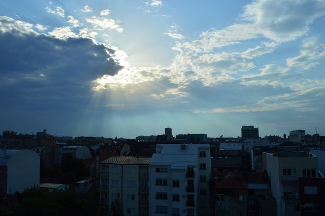
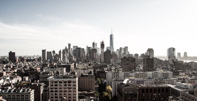
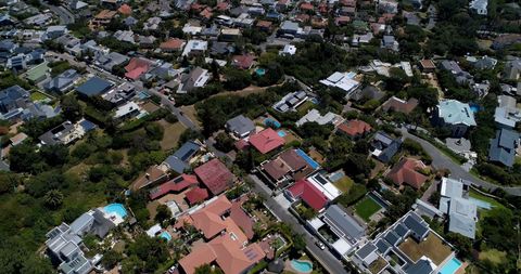
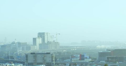
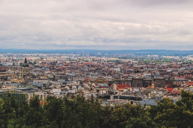
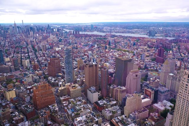
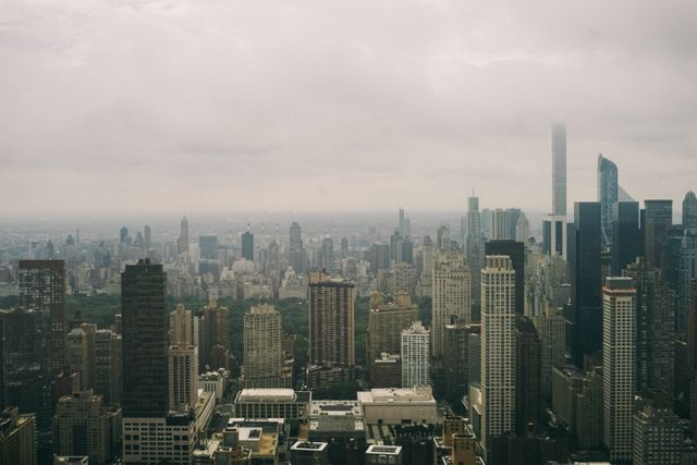
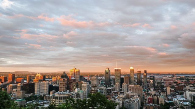
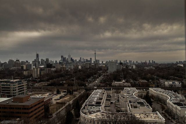
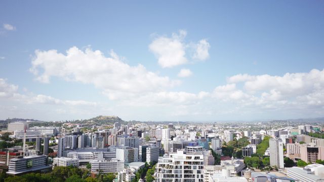
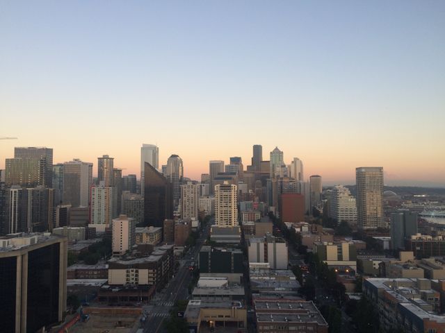
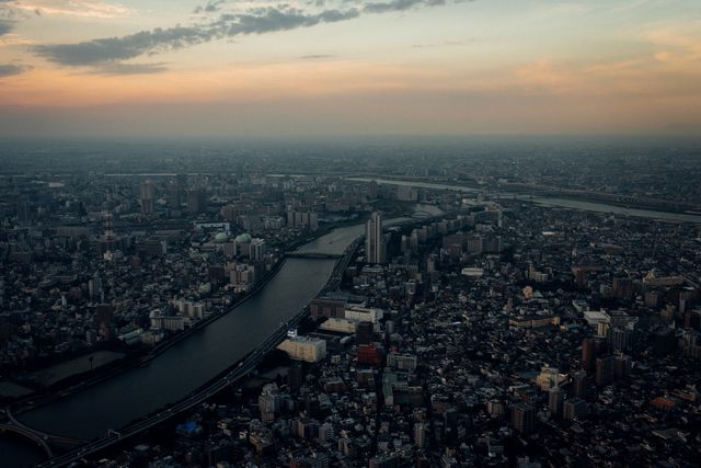
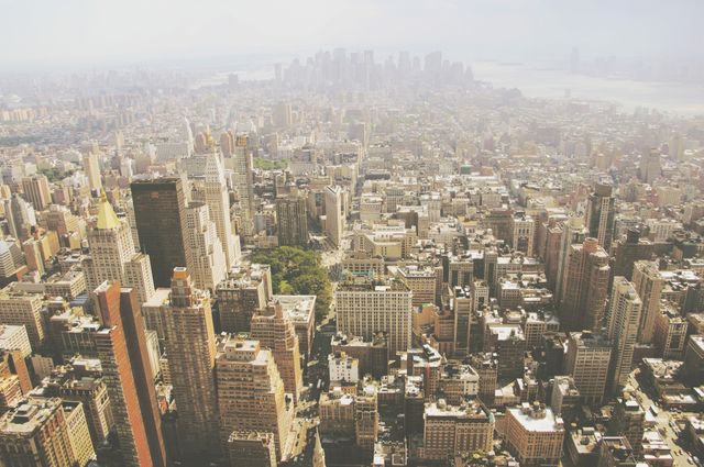
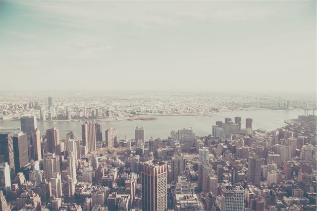
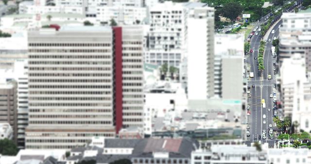
- Aerial View of Crowded Urban Residential Area
Aerial View of Crowded Urban Residential Area Image
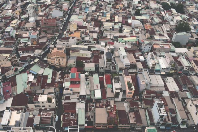
This image captures a densely packed urban residential area from an aerial perspective. Ideal for illustrating urban development, housing studies, city planning, crowded living conditions, and infrastructure projects, it provides a visual representation of densely populated areas in city environments. Can also be used in articles or discussions about urbanization and its impact on living spaces.
Powered by  - Get 15% off with code: PIKWIZARD15


Credit Photo
If you would like to credit the Photo, here are some ways you can do so
Text Link
photo Link
<span class="text-link">
<span>
<a target="_blank" href=https://pikwizard.com/photo/aerial-view-of-crowded-urban-residential-area/3762b90ef8eba91656655d60b901c066/>PikWizard</a>
</span>
</span>
<span class="image-link">
<span
style="margin: 0 0 20px 0; display: inline-block; vertical-align: middle; width: 100%;"
>
<a
target="_blank"
href="https://pikwizard.com/photo/aerial-view-of-crowded-urban-residential-area/3762b90ef8eba91656655d60b901c066/"
style="text-decoration: none; font-size: 10px; margin: 0;"
>
<img src="https://pikwizard.com/pw/medium/3762b90ef8eba91656655d60b901c066.jpg" style="margin: 0; width: 100%;" alt="" />
<p style="font-size: 12px; margin: 0;">PikWizard</p>
</a>
</span>
</span>
CC0 (Creative Commons Zero)
Free for personal and commercial use.
Similar Free Stock Images
Loading...
Premium

Premium

Premium


Premium


Premium

Premium


Premium

Premium
Premium

Premium

Premium


Premium
Premium

Premium


Premium


Premium


Premium

Premium

Premium

Premium

Premium

Premium


Premium
Premium


Premium


Explore More Free Stock Images