- Home >
- Stock Photos >
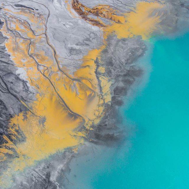
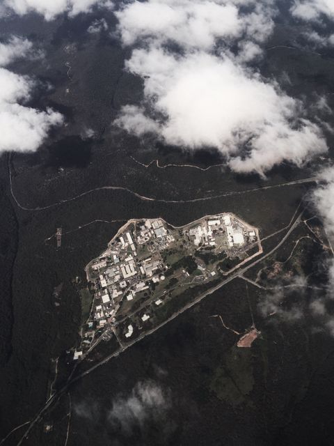
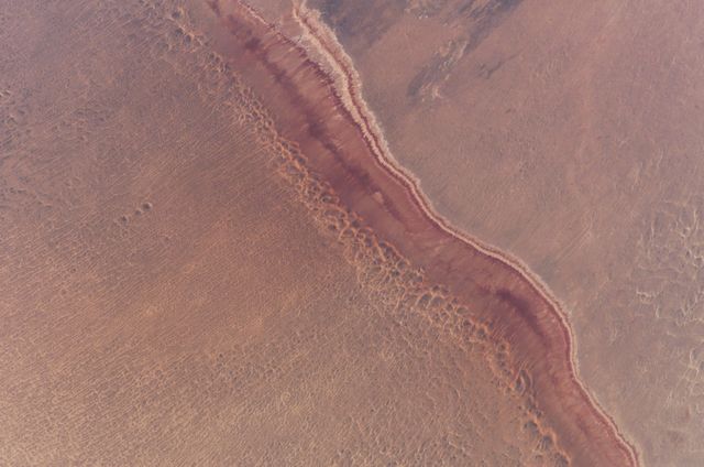
- Aerial View of Danube Delta's Chilia Lobe Bordering Black Sea
Aerial View of Danube Delta's Chilia Lobe Bordering Black Sea Image
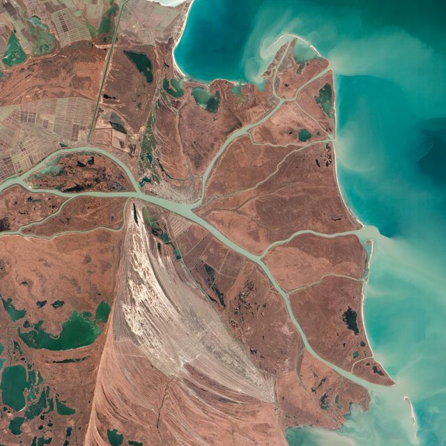
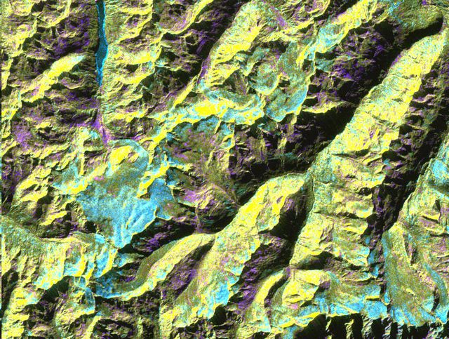
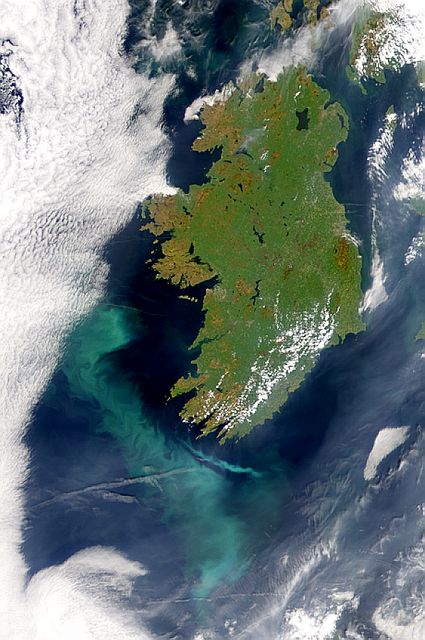
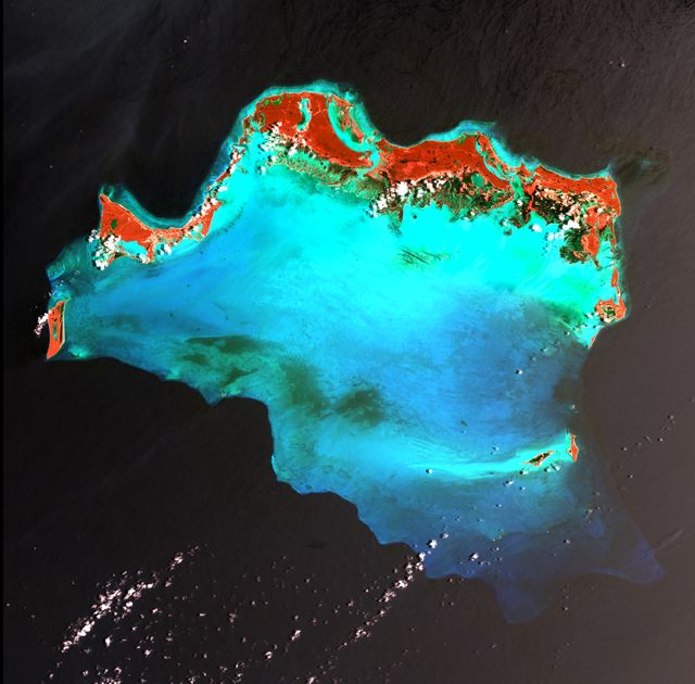
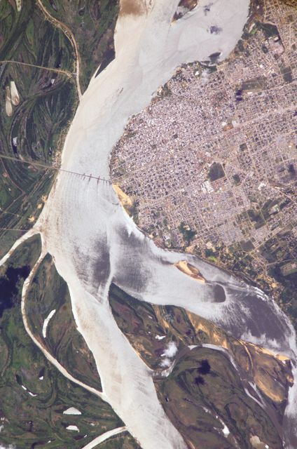
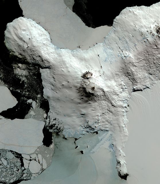
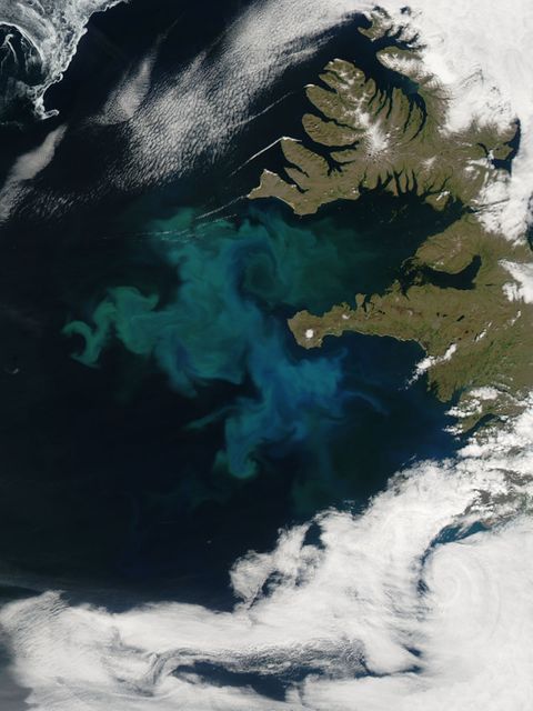
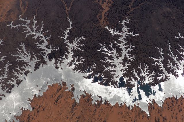
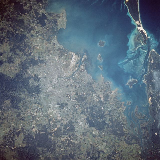
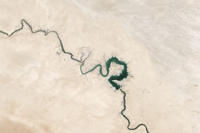
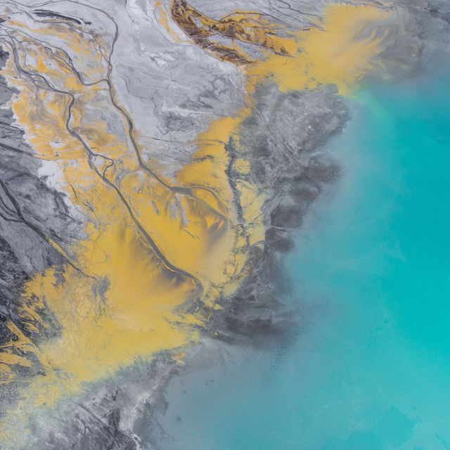
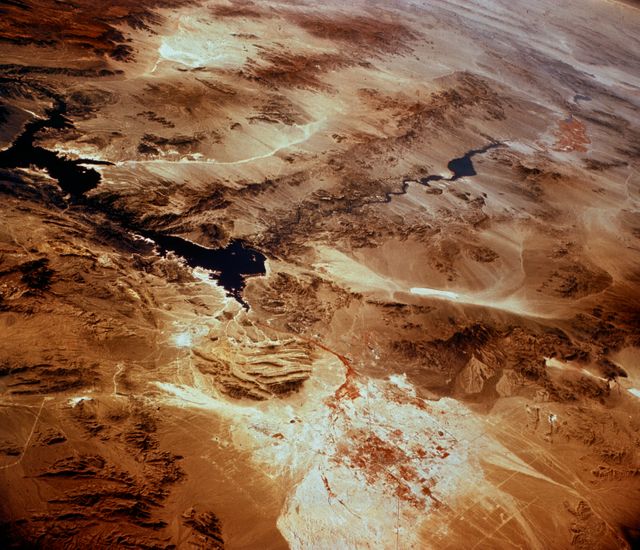
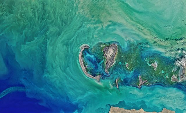
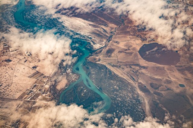
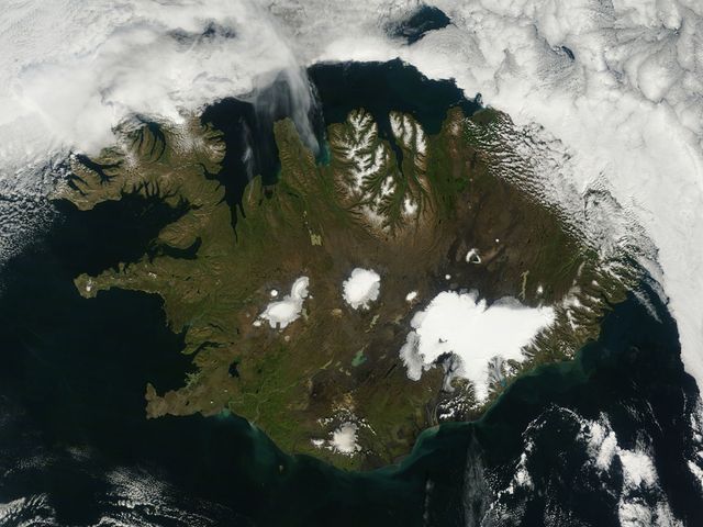
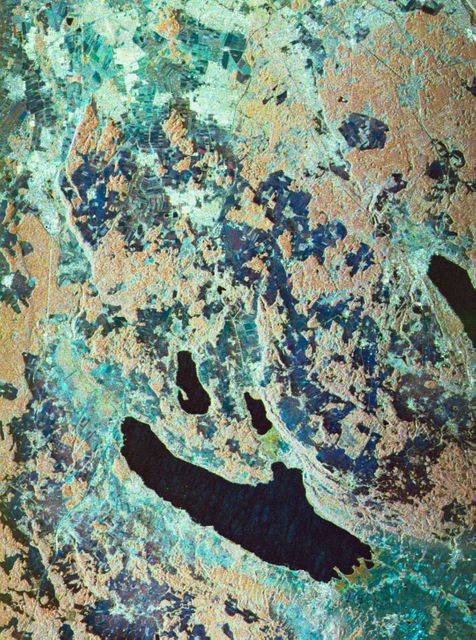
This striking aerial view captures the northernmost Chilia lobe of the Danube Delta, which mainly lies within Ukraine, bordering the Black Sea. The delta is depicted with intricate waterways and wetlands. The image emphasizes natural features like beach ridges and canals and the significant human impact with settlements and navigation routes, providing valuable insights for ecological studies and conservation efforts. Suitable for educational, environmental, and geographic documentation.

Credit Photo
If you would like to credit the Photo, here are some ways you can do so
Text Link
photo Link
<span class="text-link">
<span>
<a target="_blank" href=https://pikwizard.com/photo/aerial-view-of-danube-deltas-chilia-lobe-bordering-black-sea/5e762fefa90f3b814ffca57dcb985be4/>PikWizard</a>
</span>
</span>
<span class="image-link">
<span
style="margin: 0 0 20px 0; display: inline-block; vertical-align: middle; width: 100%;"
>
<a
target="_blank"
href="https://pikwizard.com/photo/aerial-view-of-danube-deltas-chilia-lobe-bordering-black-sea/5e762fefa90f3b814ffca57dcb985be4/"
style="text-decoration: none; font-size: 10px; margin: 0;"
>
<img src="https://pikwizard.com/pw/medium/5e762fefa90f3b814ffca57dcb985be4.jpg" style="margin: 0; width: 100%;" alt="" />
<p style="font-size: 12px; margin: 0;">PikWizard</p>
</a>
</span>
</span>
CC0 (Creative Commons Zero)
Free for personal and commercial use.
Similar Free Stock Images