
- Home >
- Stock Photos >
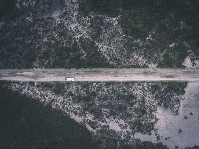
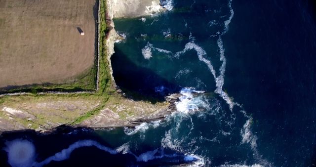
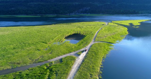
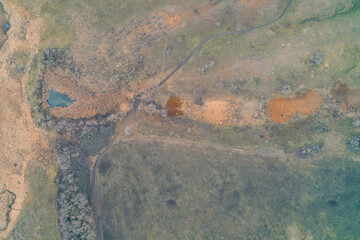
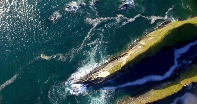
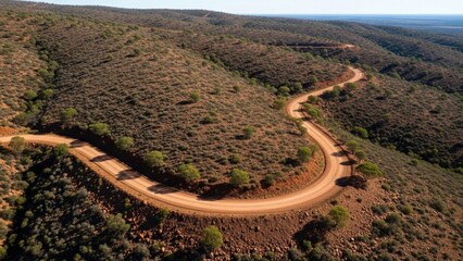
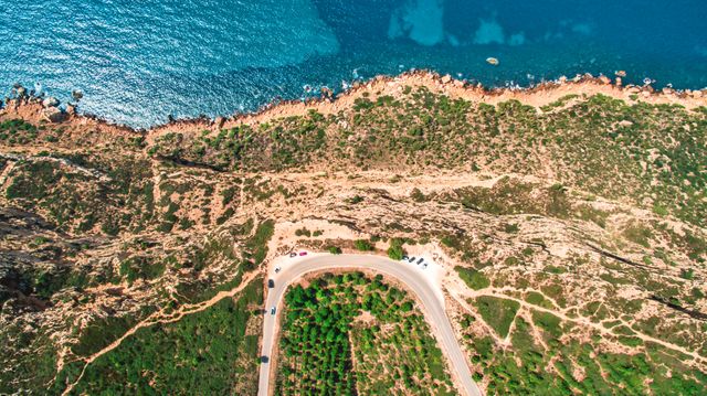
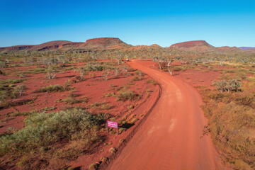
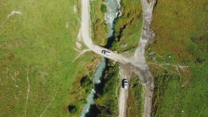
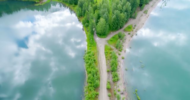
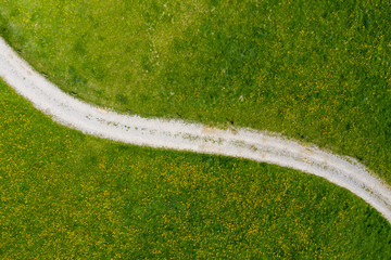
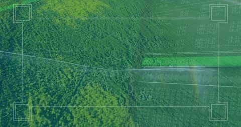
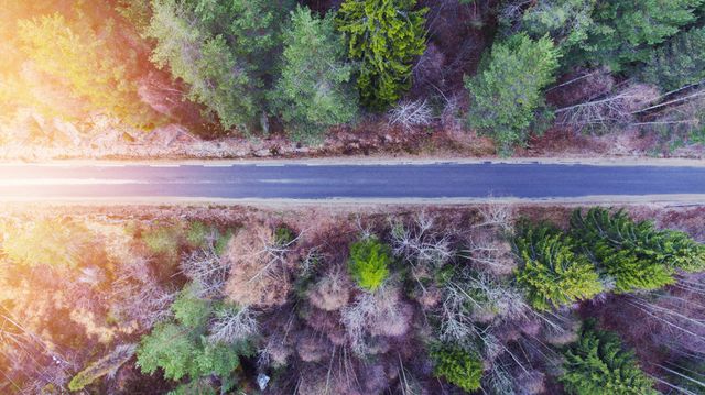
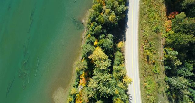
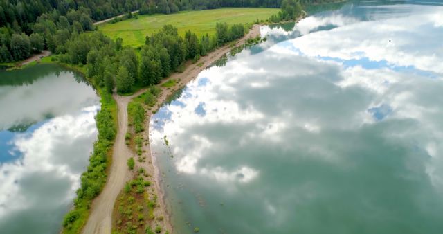
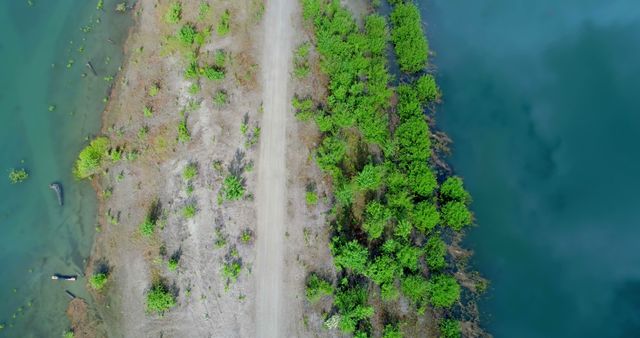
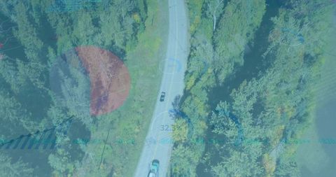
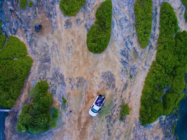
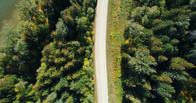
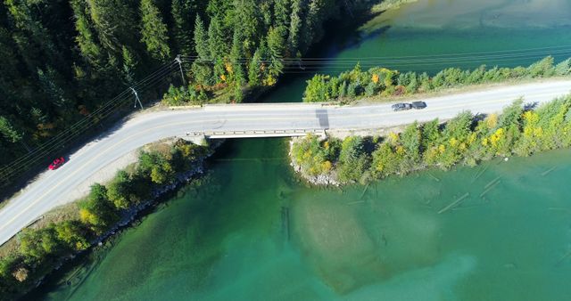
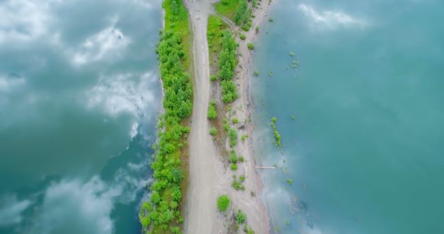
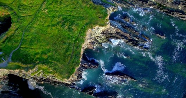
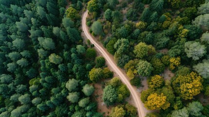
- Aerial View of Dirt Road with Lush Greenery and Blue Water
Aerial View of Dirt Road with Lush Greenery and Blue Water Image
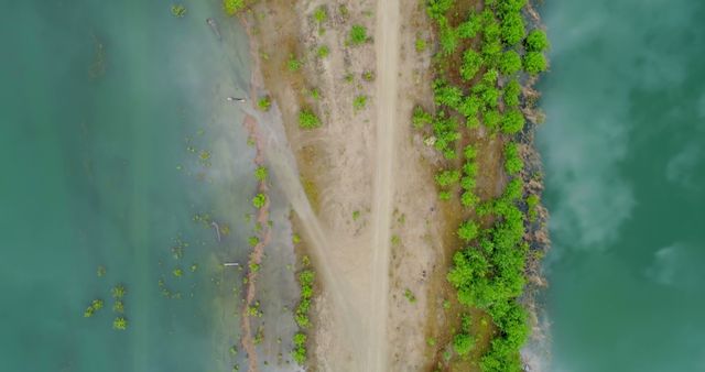
A breathtaking bird's-eye perspective highlights the striking contrast between a dirt road and adjacent lush greenery bordered by shimmering blue water. This visual composition is ideal for use in environmental projects, illustrating the juxtaposition between man-made and natural elements, or in promoting travel and exploration themes.
Powered by 


downloads
Tags:
More
Credit Photo
If you would like to credit the Photo, here are some ways you can do so
Text Link
photo Link
<span class="text-link">
<span>
<a target="_blank" href=https://pikwizard.com/photo/aerial-view-of-dirt-road-with-lush-greenery-and-blue-water/38b61ddf61d11368abd0ac6e781c9bfe/>PikWizard</a>
</span>
</span>
<span class="image-link">
<span
style="margin: 0 0 20px 0; display: inline-block; vertical-align: middle; width: 100%;"
>
<a
target="_blank"
href="https://pikwizard.com/photo/aerial-view-of-dirt-road-with-lush-greenery-and-blue-water/38b61ddf61d11368abd0ac6e781c9bfe/"
style="text-decoration: none; font-size: 10px; margin: 0;"
>
<img src="https://pikwizard.com/pw/medium/38b61ddf61d11368abd0ac6e781c9bfe.jpg" style="margin: 0; width: 100%;" alt="" />
<p style="font-size: 12px; margin: 0;">PikWizard</p>
</a>
</span>
</span>
Free (free of charge)
Free for personal and commercial use.
Author: Authentic Images
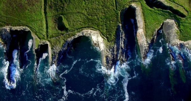
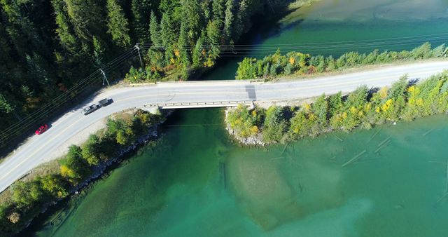
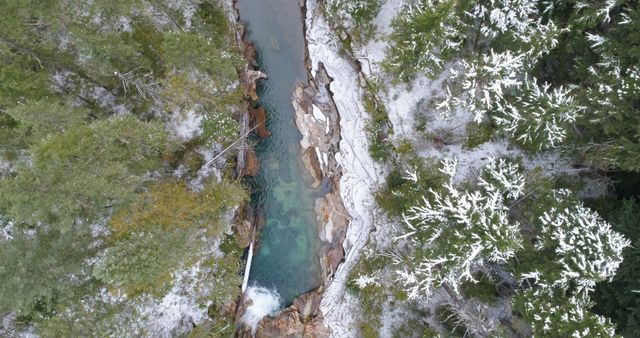
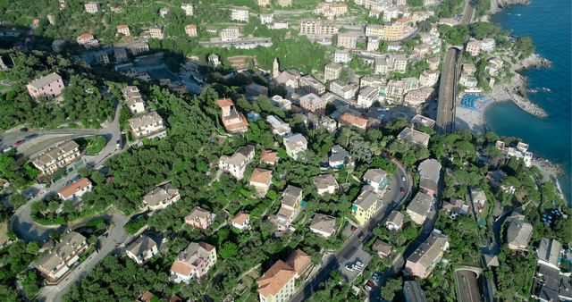
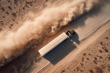
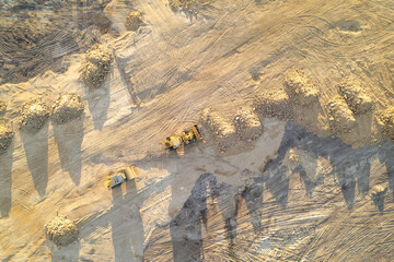
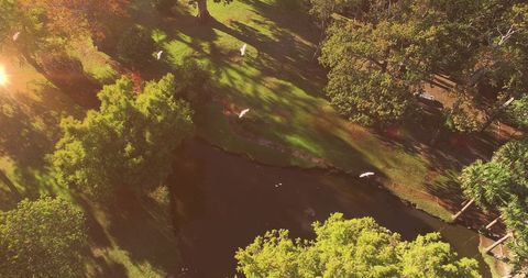
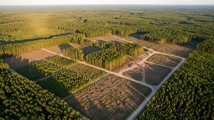
Similar Free Stock Images
Loading...
Premium


AI


Premium
Premium
Premium


Premium

Premium
Premium

Premium


Premium
Premium
Premium
Premium
AI


Premium

Premium
Premium


Premium


Premium

Premium
AI

Premium
Premium


Premium


Premium
Premium


Premium


Premium
Explore More Free Stock Images