- Home >
- Stock Photos >
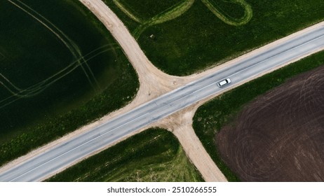
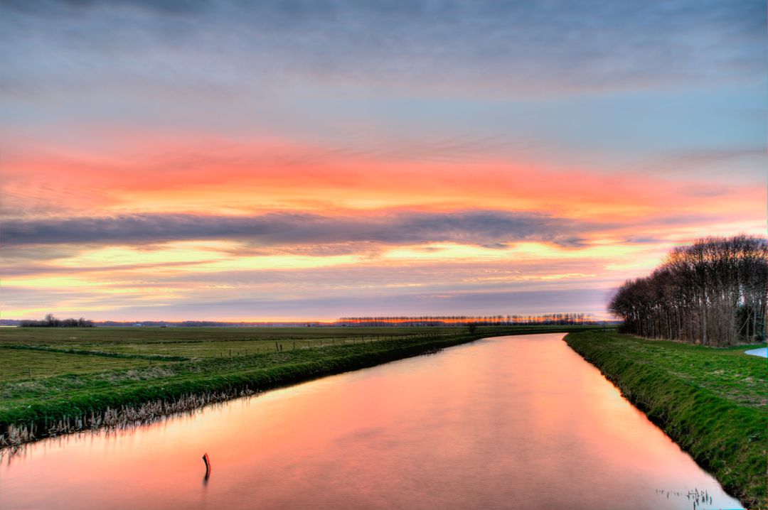
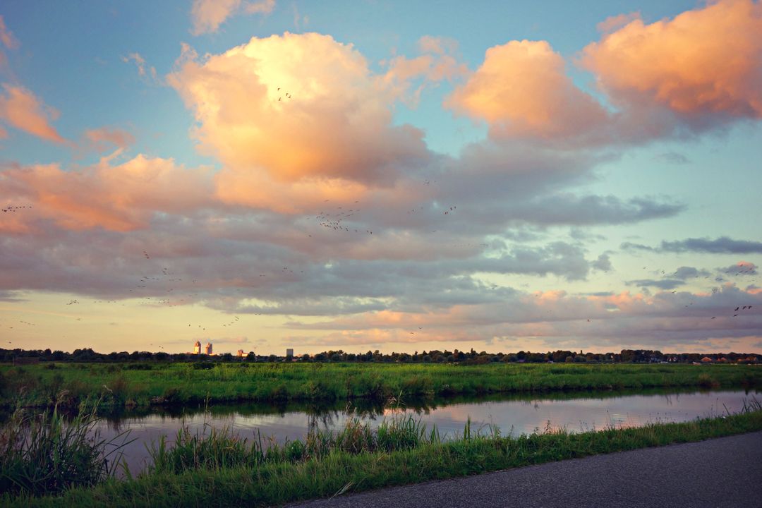
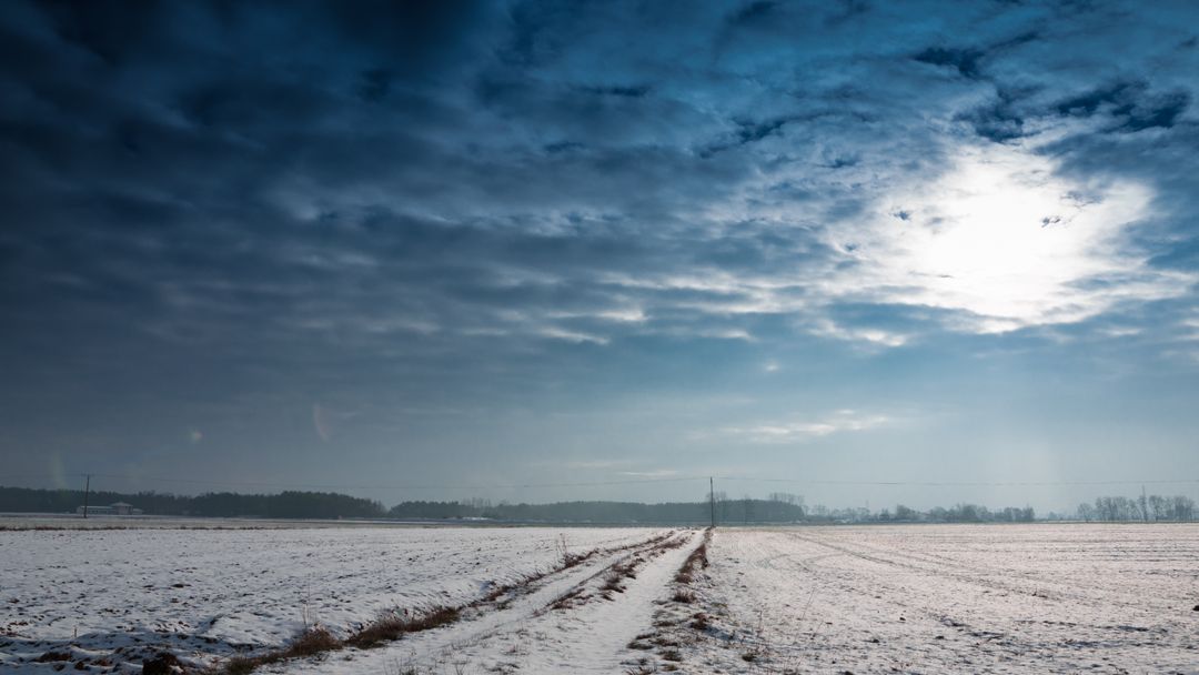
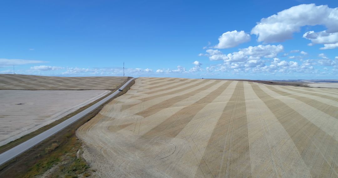
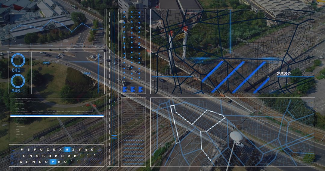
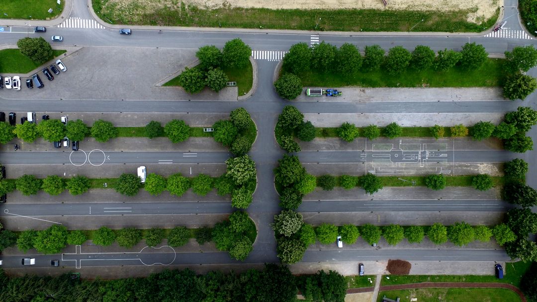
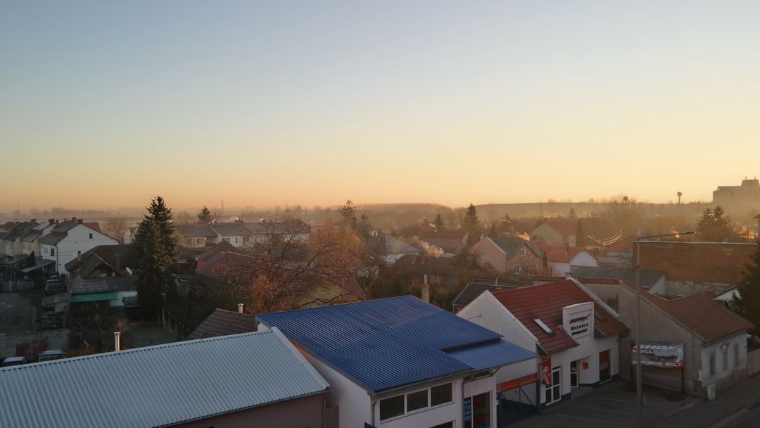
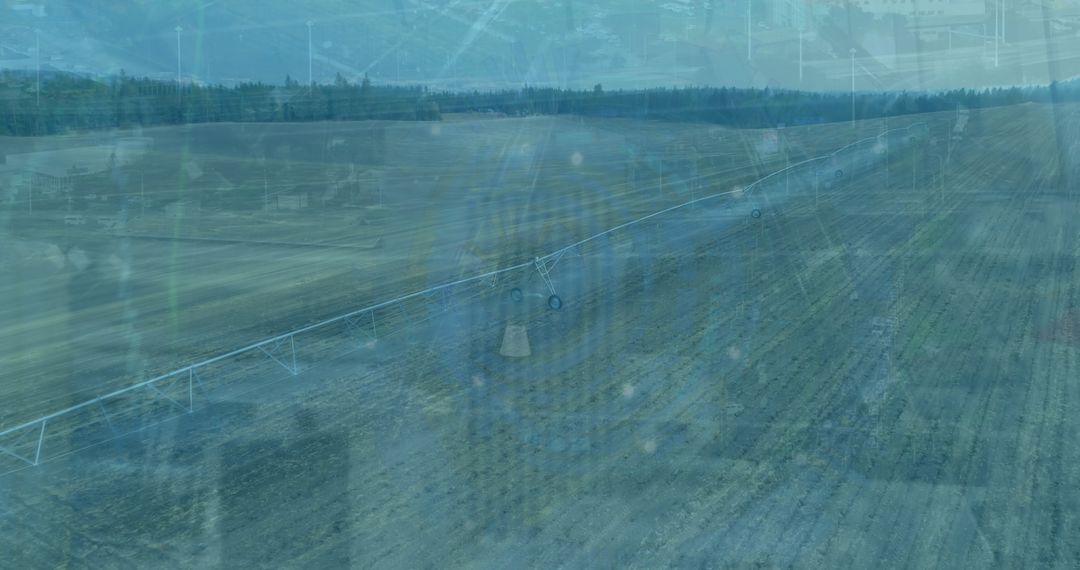
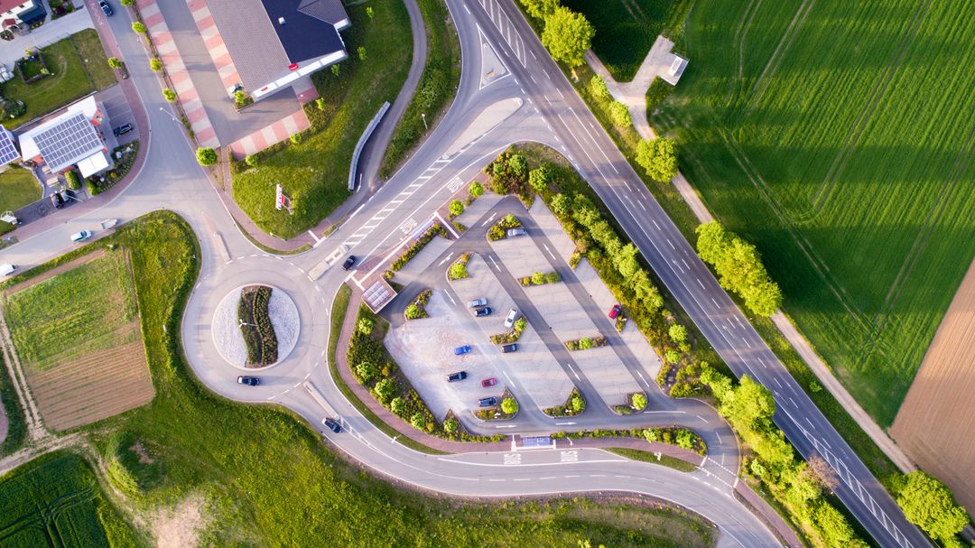
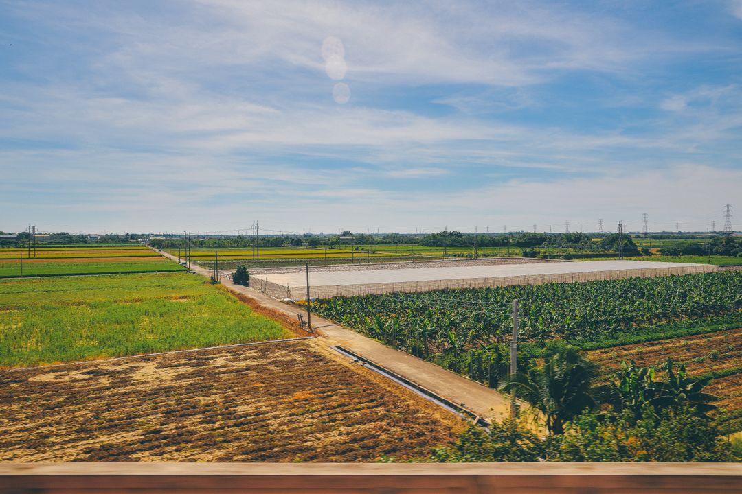
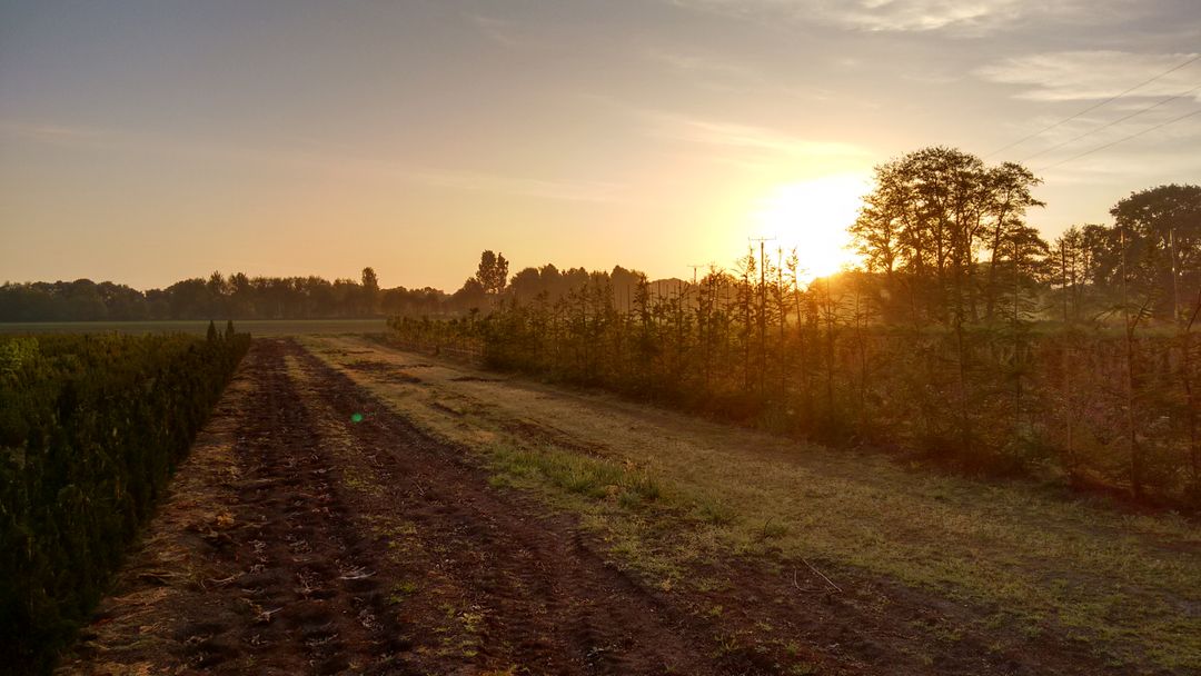
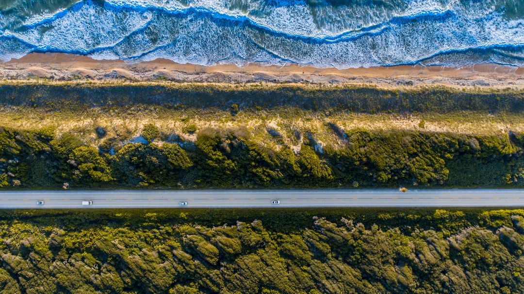
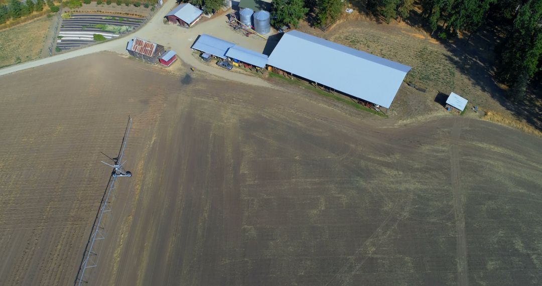
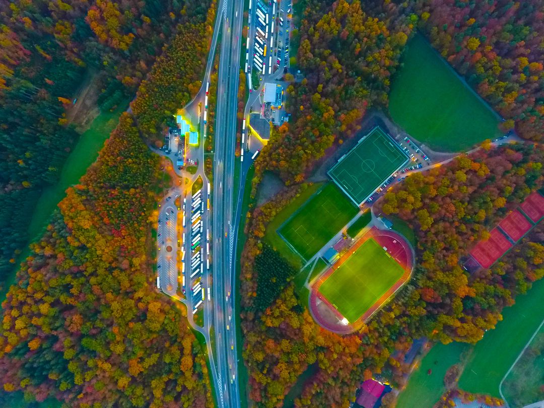
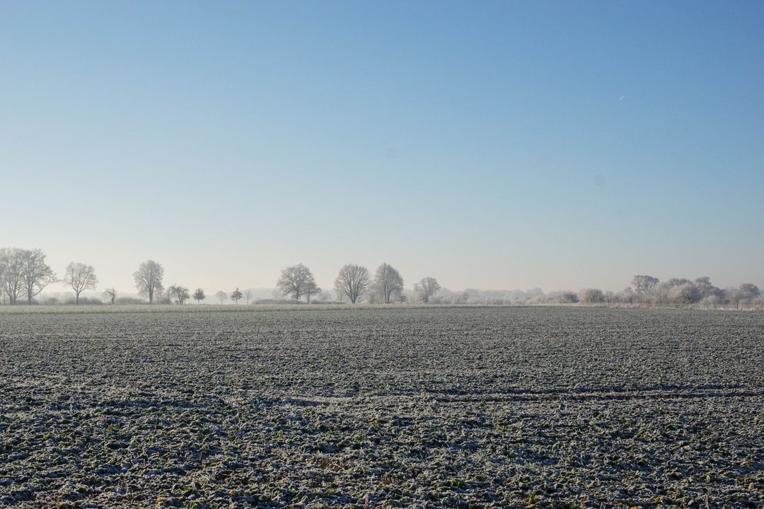
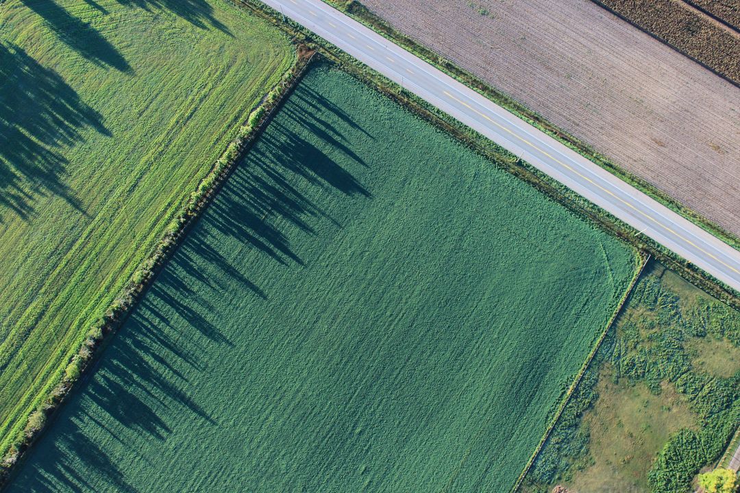
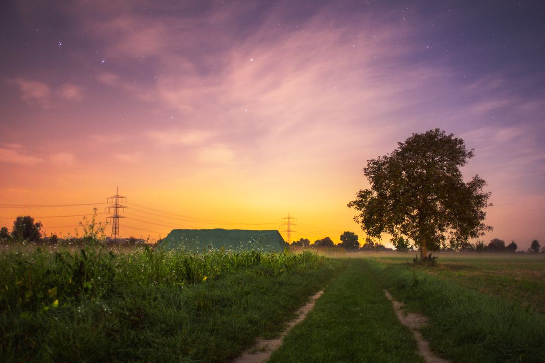
- Aerial View of Farmlands and Roads Intersecting in Rural Area
Aerial View of Farmlands and Roads Intersecting in Rural Area Image
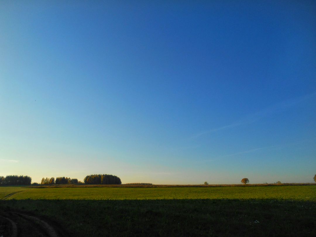
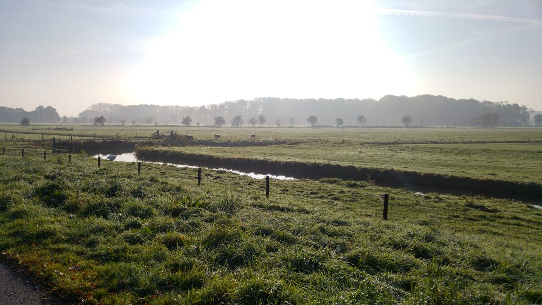
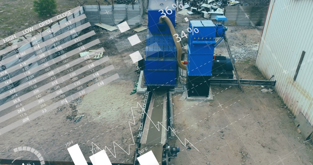
Aerial view showing intersecting roads and surrounding farmlands in a rural area. Green fields and barren land are visible alongside infrastructure like roads, residential buildings, and other structures. Perfect for use in articles or projects related to agriculture, rural development, infrastructure planning, or environmental studies.
Powered by  - Get 15% off with code: PIKWIZARD15


Credit Photo
If you would like to credit the Photo, here are some ways you can do so
Text Link
photo Link
<span class="text-link">
<span>
<a target="_blank" href=https://pikwizard.com/photo/aerial-view-of-farmlands-and-roads-intersecting-in-rural-area/5554d20603c06d4457761a7ec1eaf536/>PikWizard</a>
</span>
</span>
<span class="image-link">
<span
style="margin: 0 0 20px 0; display: inline-block; vertical-align: middle; width: 100%;"
>
<a
target="_blank"
href="https://pikwizard.com/photo/aerial-view-of-farmlands-and-roads-intersecting-in-rural-area/5554d20603c06d4457761a7ec1eaf536/"
style="text-decoration: none; font-size: 10px; margin: 0;"
>
<img src="https://pikwizard.com/pw/medium/5554d20603c06d4457761a7ec1eaf536.jpg" style="margin: 0; width: 100%;" alt="" />
<p style="font-size: 12px; margin: 0;">PikWizard</p>
</a>
</span>
</span>
CC0 (Creative Commons Zero)
Free for personal and commercial use.
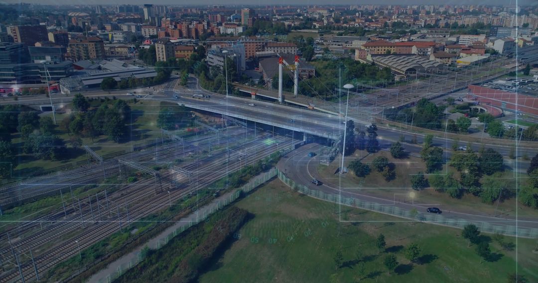
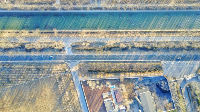
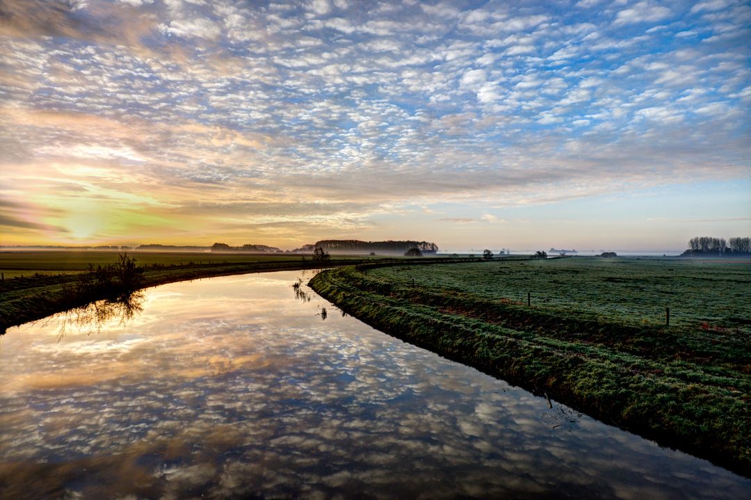
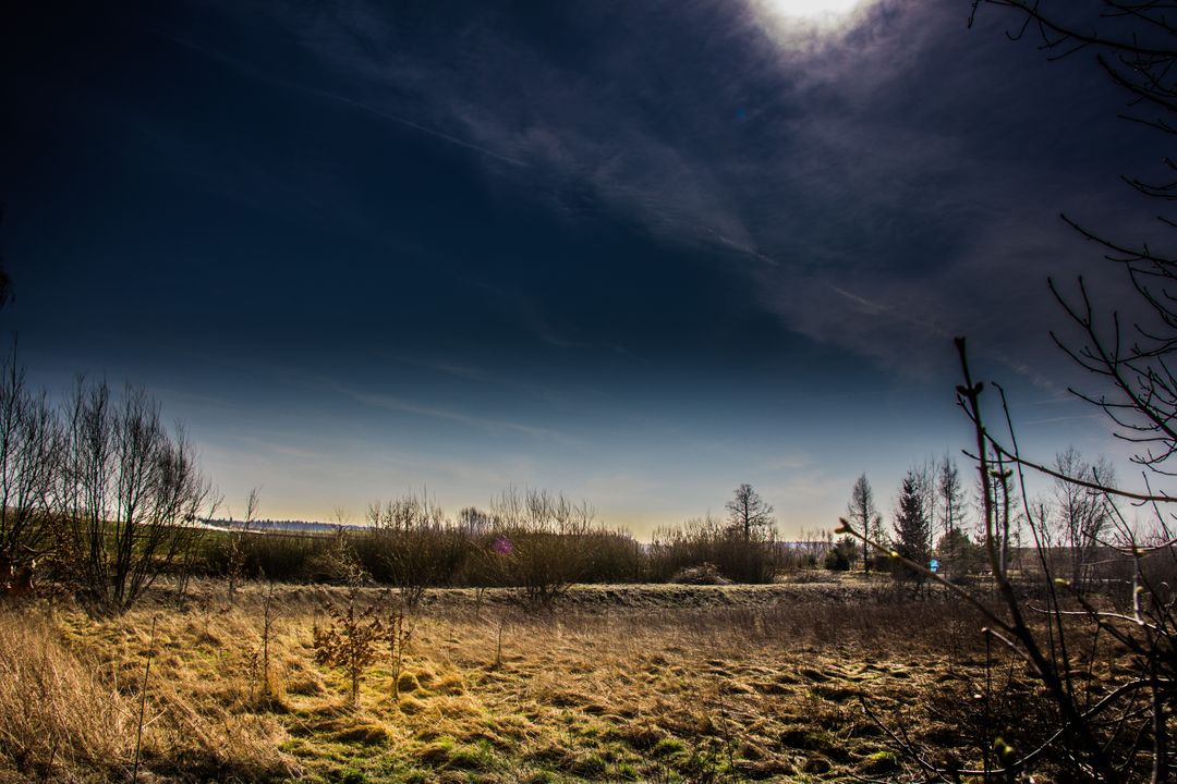
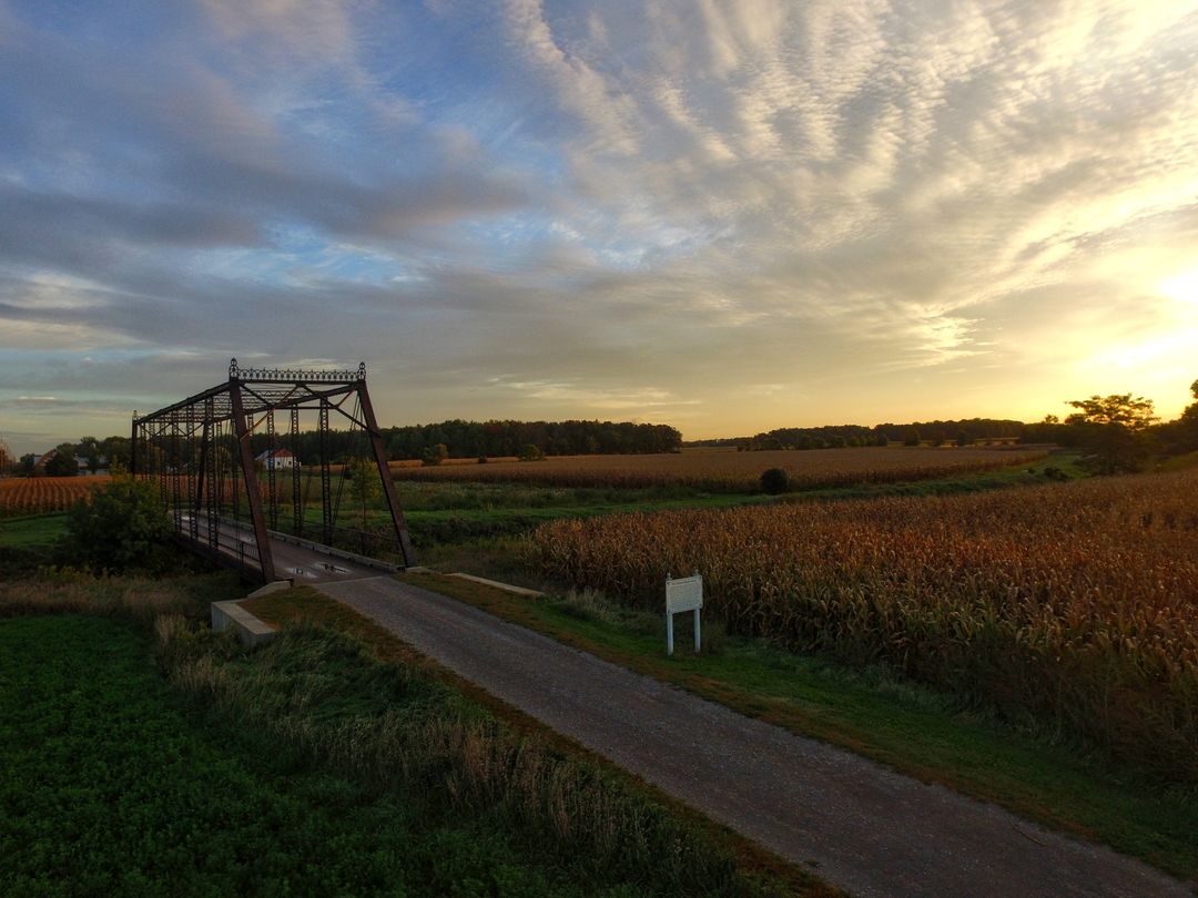
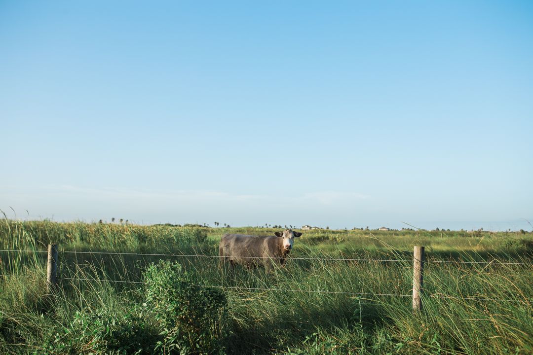
Similar Free Stock Images
Premium


Premium

Premium


Premium


Premium

Premium


Premium


Premium


Premium

Premium

Premium


Premium


Premium

Premium

Premium


Premium

Premium


Premium


Premium

Premium

Premium

Premium


Premium


Premium