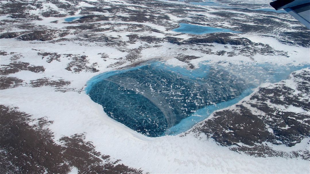
Aerial View of Frozen Meltwater Lake Along Northeast Greenland Coast Image

Aerial view of a frozen meltwater lake situated along the northeast coast of Greenland. Captured from NASA's P-3B aircraft on May 7, 2012, this image is part of NASA's IceBridge mission, which aims to survey Earth's polar ice. Ideal for use in climate change studies, glaciology research, educational materials on polar environments, and promoting scientific missions.
downloads
Credit Photo
If you would like to credit the Photo, here are some ways you can do so
CC0 (Creative Commons Zero)
Free for personal and commercial use.


