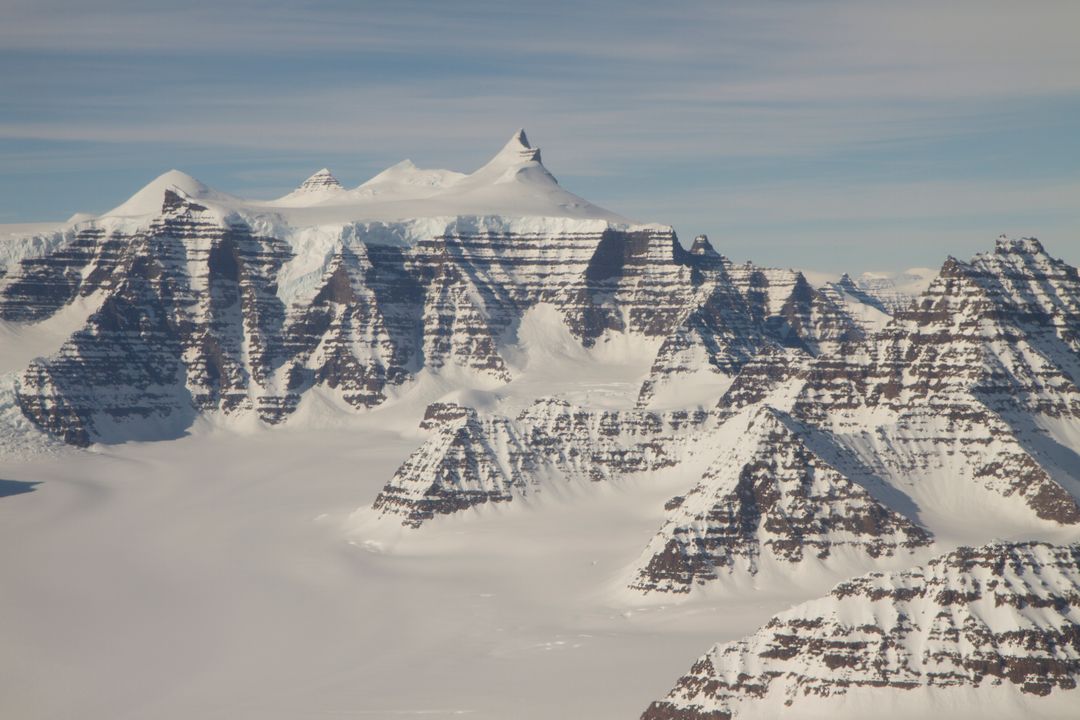
Aerial View of Geikie Plateau Mountains in Greenland During NASA IceBridge Mission Image

Aerial view of distinctive mountain ridges in the Geikie Plateau region, eastern Greenland, photographed during a NASA IceBridge mission on April 16, 2012. Useful for scientific publications, climate change discussions, educational materials on polar regions, and travel-related content concerning Greenland's natural beauty.
downloads
Credit Photo
If you would like to credit the Photo, here are some ways you can do so
CC0 (Creative Commons Zero)
Free for personal and commercial use.


