- Home >
- Stock Photos >
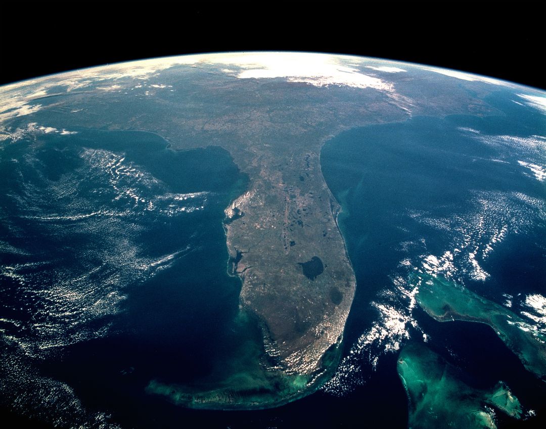
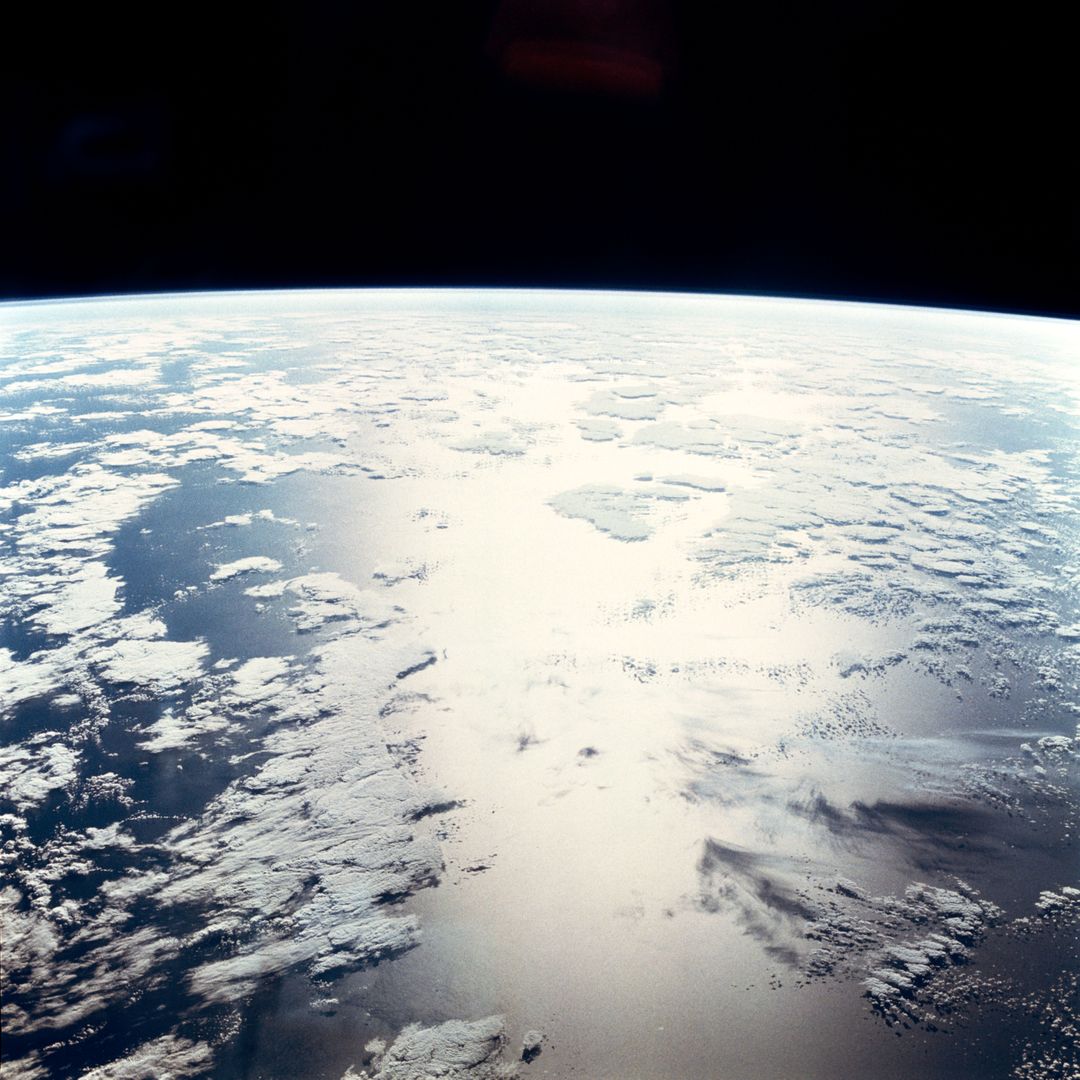
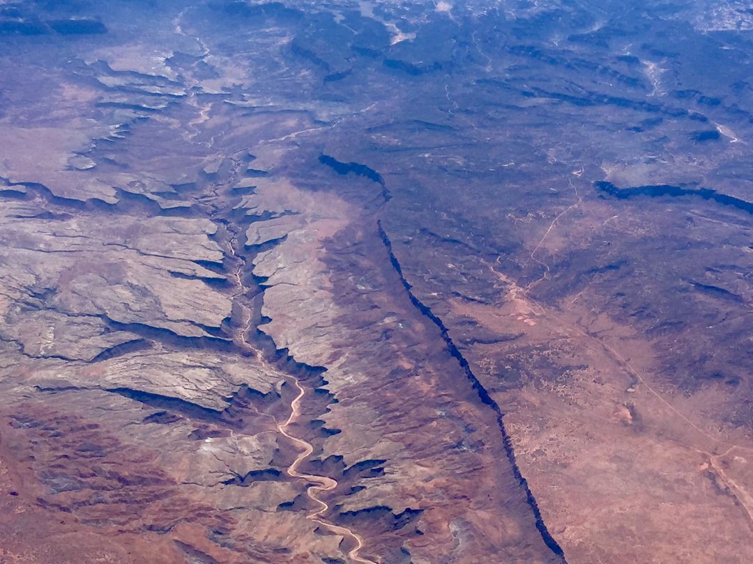
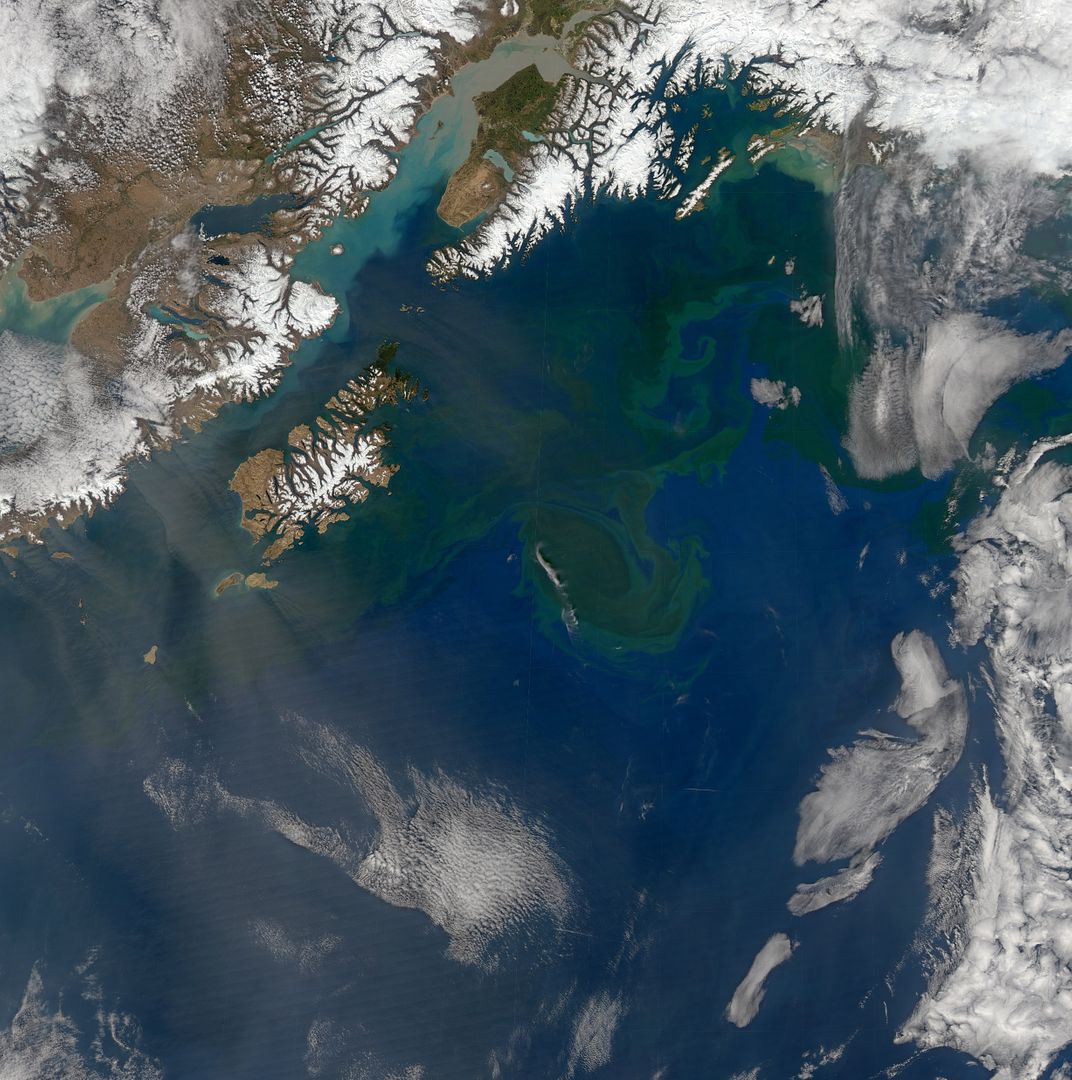
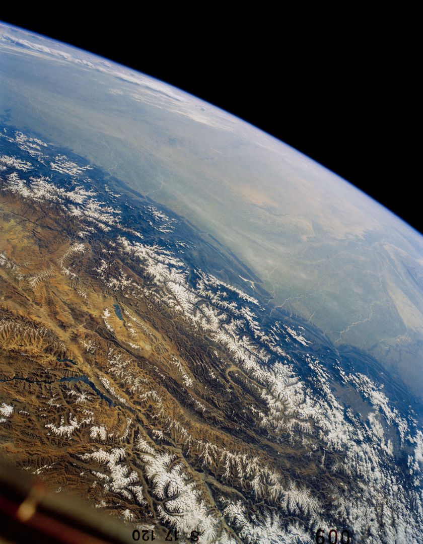
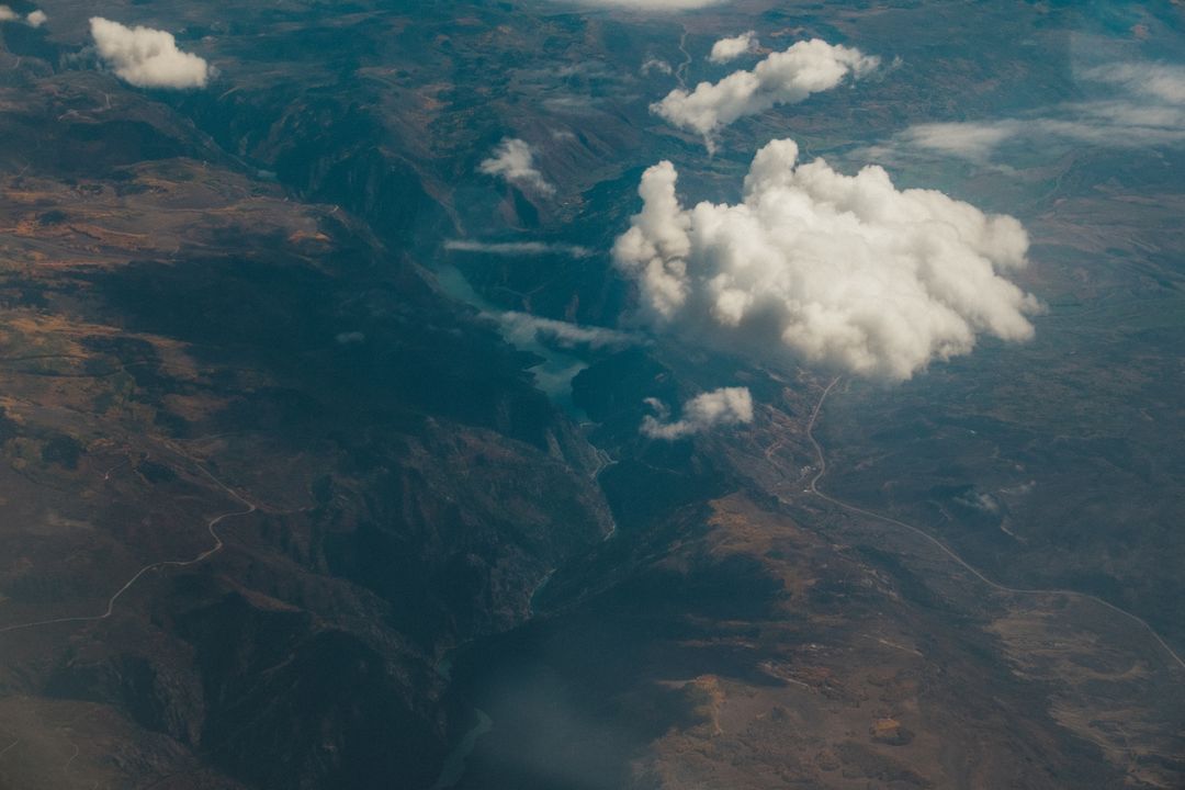
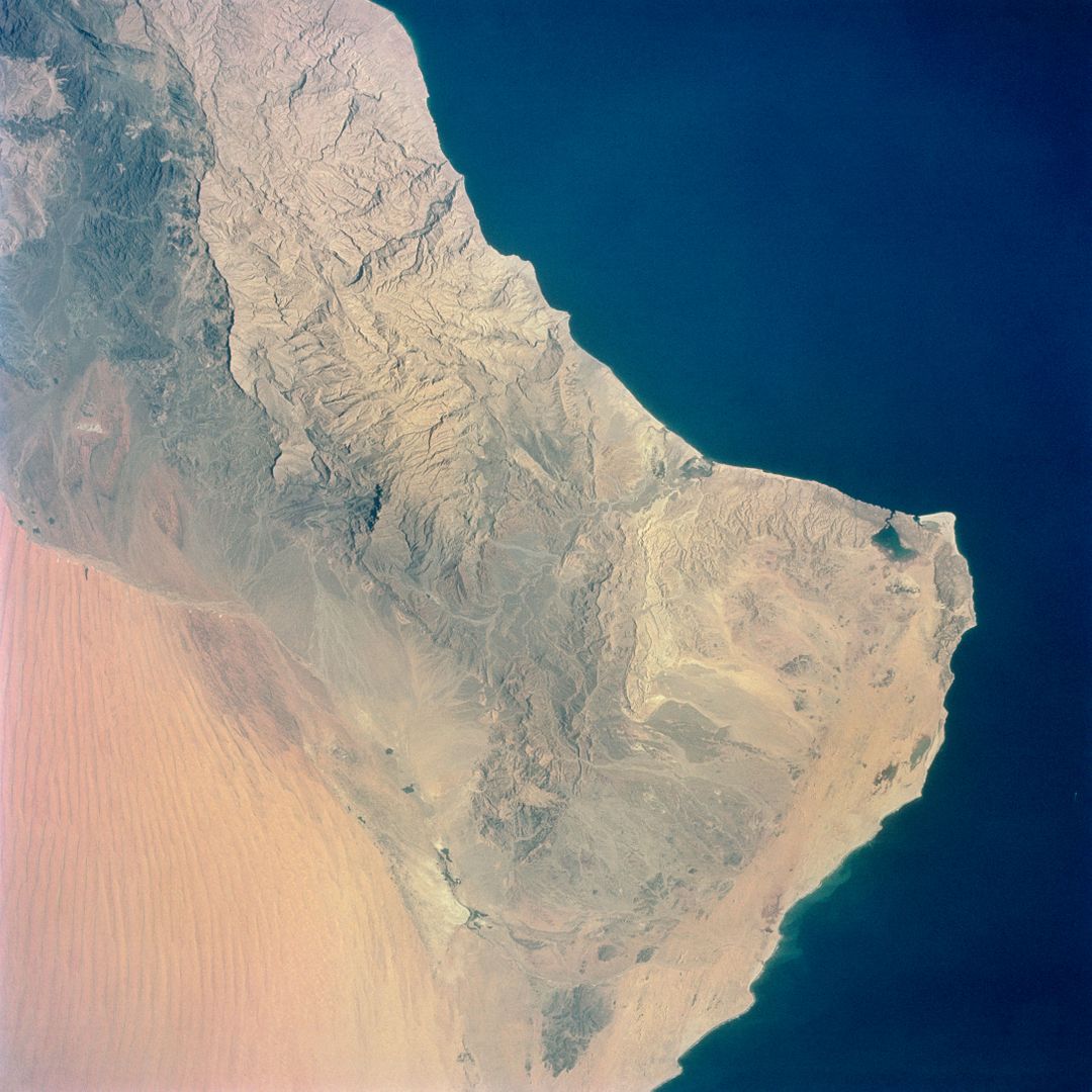
- Aerial View of Hahramaut Plateau and Gulf of Aden from Gemini-4 Spacecraft
Aerial View of Hahramaut Plateau and Gulf of Aden from Gemini-4 Spacecraft Image
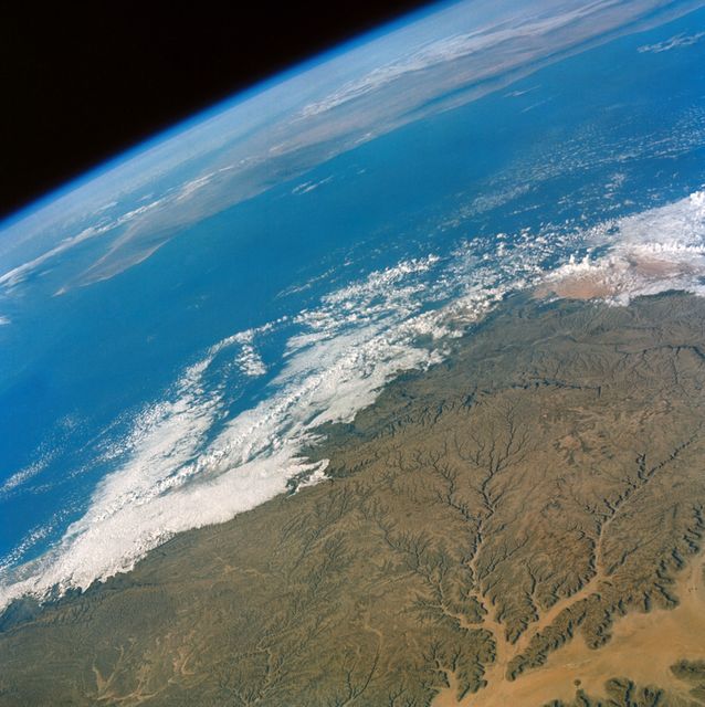
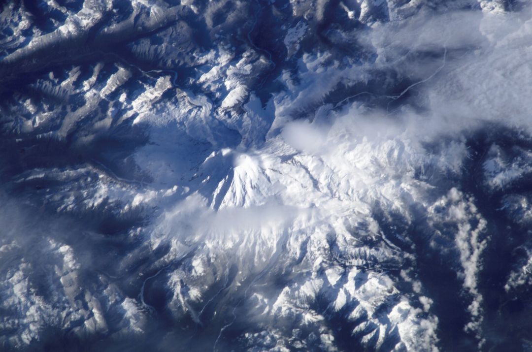
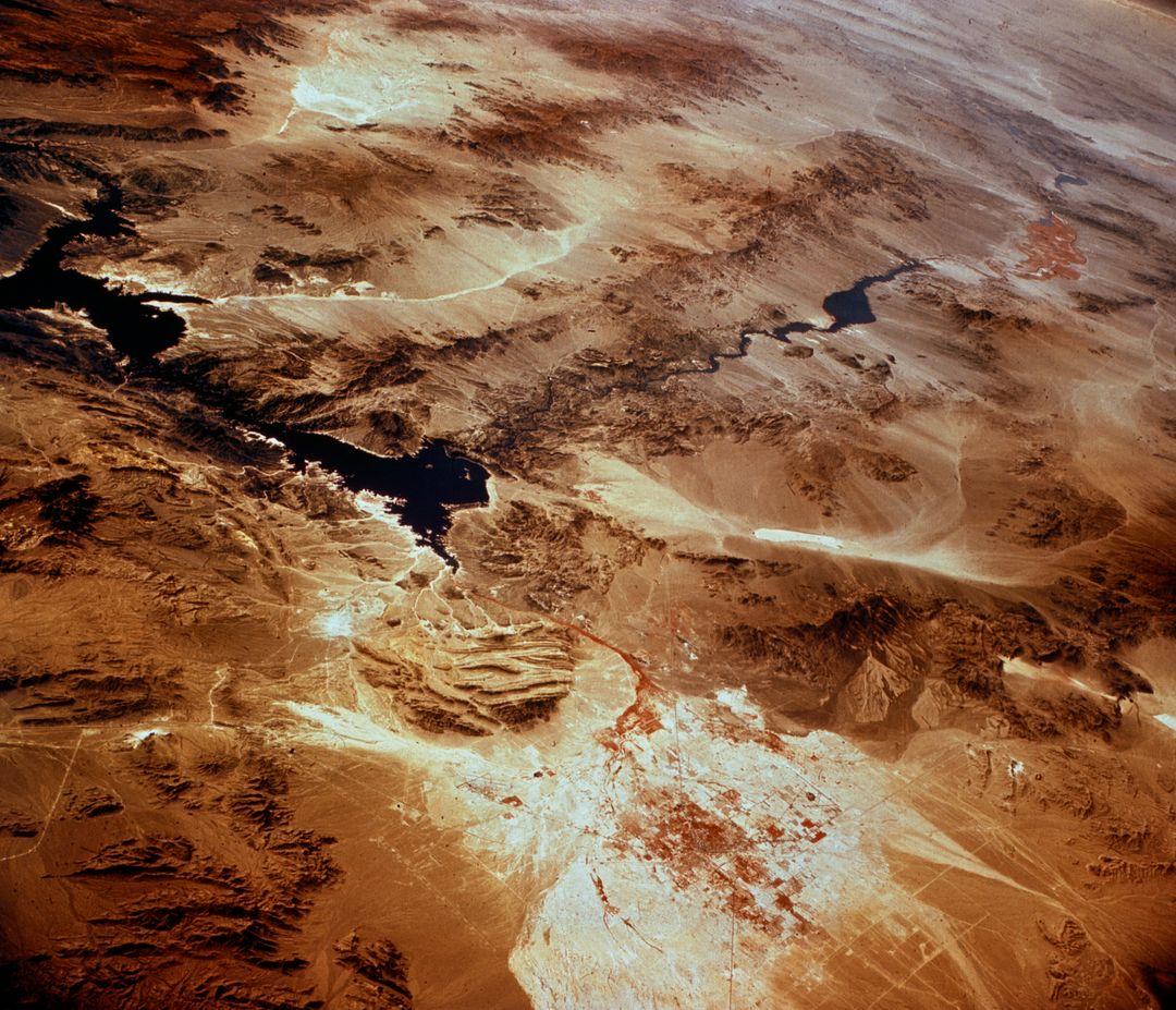
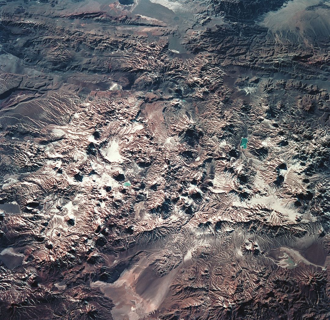
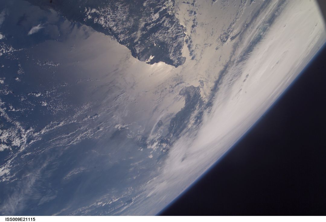
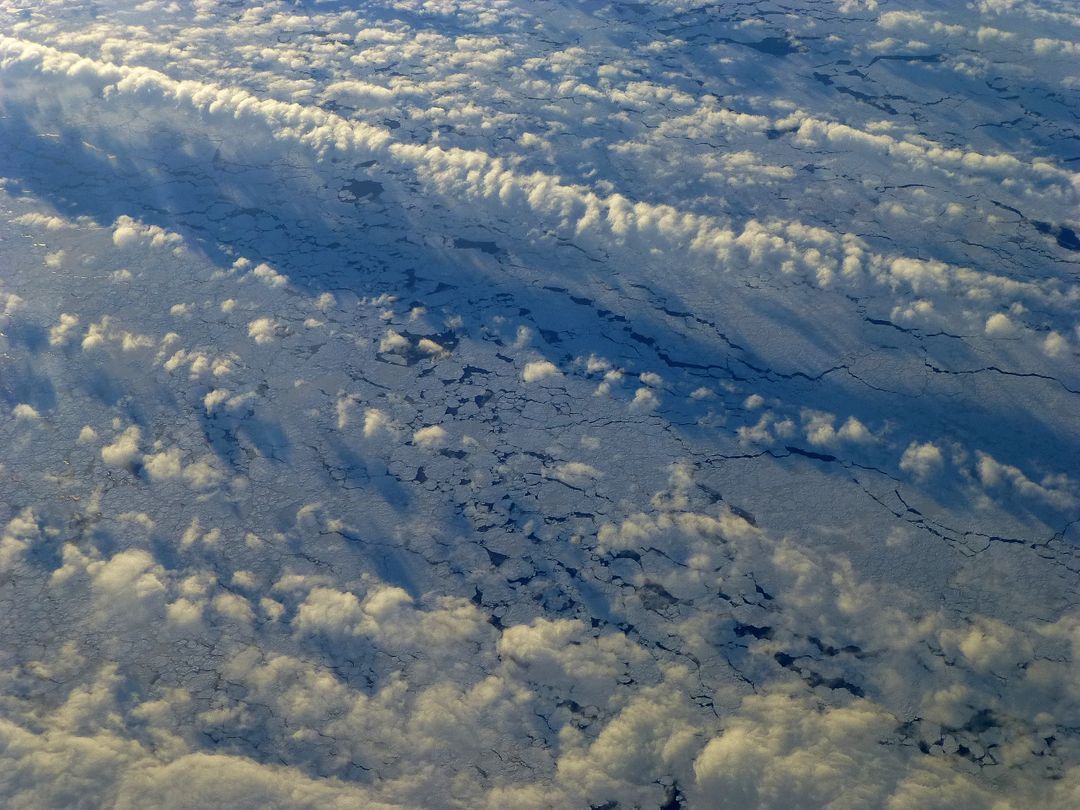
View of the Hahramaut Plateau in the southern Arabian Peninsula taken from Gemini-4 spacecraft in June 1965. Showcasing the dramatic landscape featuring the Wadi Hahramaut and the Gulf of Aden. Useful for educational materials on space exploration, geography lessons, climate studies, and promotional content related to NASA and space missions.

Credit Photo
If you would like to credit the Photo, here are some ways you can do so
Text Link
photo Link
<span class="text-link">
<span>
<a target="_blank" href=https://pikwizard.com/photo/aerial-view-of-hahramaut-plateau-and-gulf-of-aden-from-gemini-4-spacecraft/979361a3ca093e2105e5ccc93931f6f0/>PikWizard</a>
</span>
</span>
<span class="image-link">
<span
style="margin: 0 0 20px 0; display: inline-block; vertical-align: middle; width: 100%;"
>
<a
target="_blank"
href="https://pikwizard.com/photo/aerial-view-of-hahramaut-plateau-and-gulf-of-aden-from-gemini-4-spacecraft/979361a3ca093e2105e5ccc93931f6f0/"
style="text-decoration: none; font-size: 10px; margin: 0;"
>
<img src="https://pikwizard.com/pw/medium/979361a3ca093e2105e5ccc93931f6f0.jpg" style="margin: 0; width: 100%;" alt="" />
<p style="font-size: 12px; margin: 0;">PikWizard</p>
</a>
</span>
</span>
CC0 (Creative Commons Zero)
Free for personal and commercial use.
Similar Free Stock Images