- Home >
- Stock Photos >
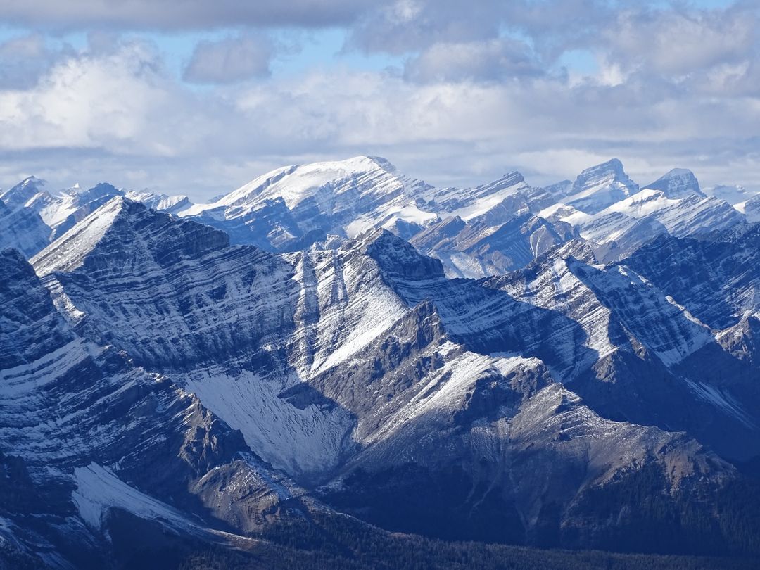
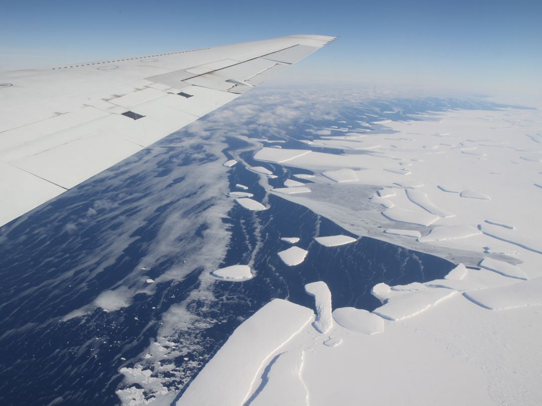
- Aerial View of Heimdal Glacier in Greenland Captured by NASA
Aerial View of Heimdal Glacier in Greenland Captured by NASA Image
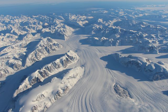
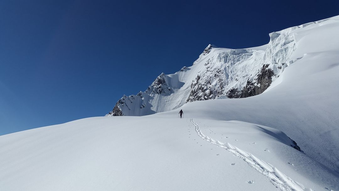
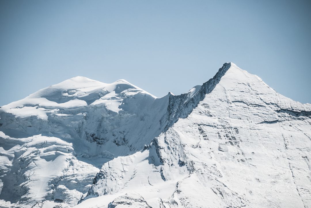
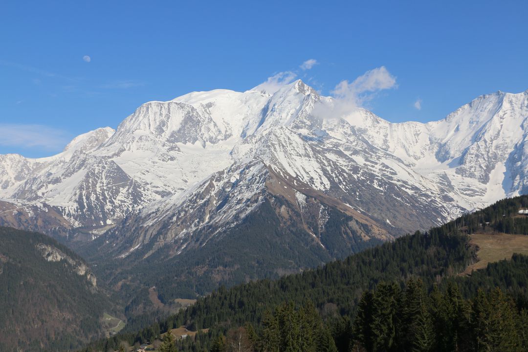
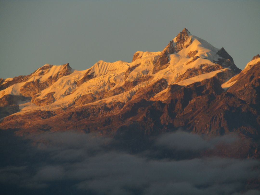
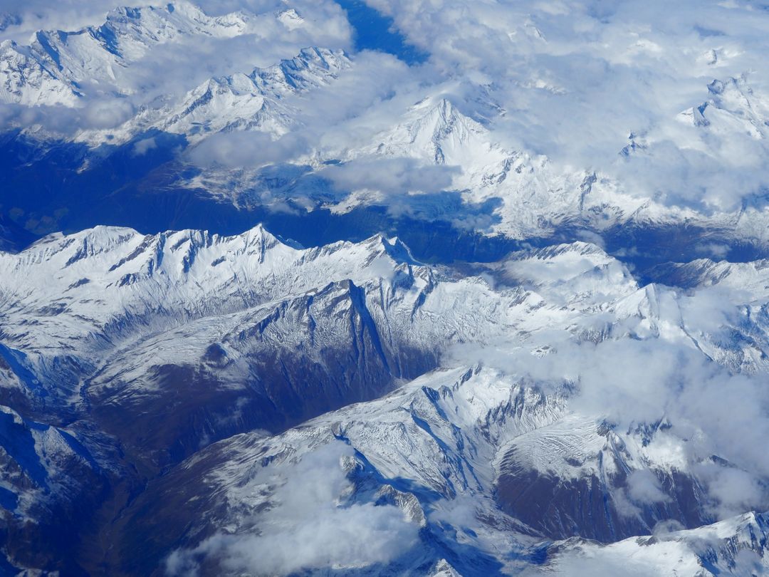
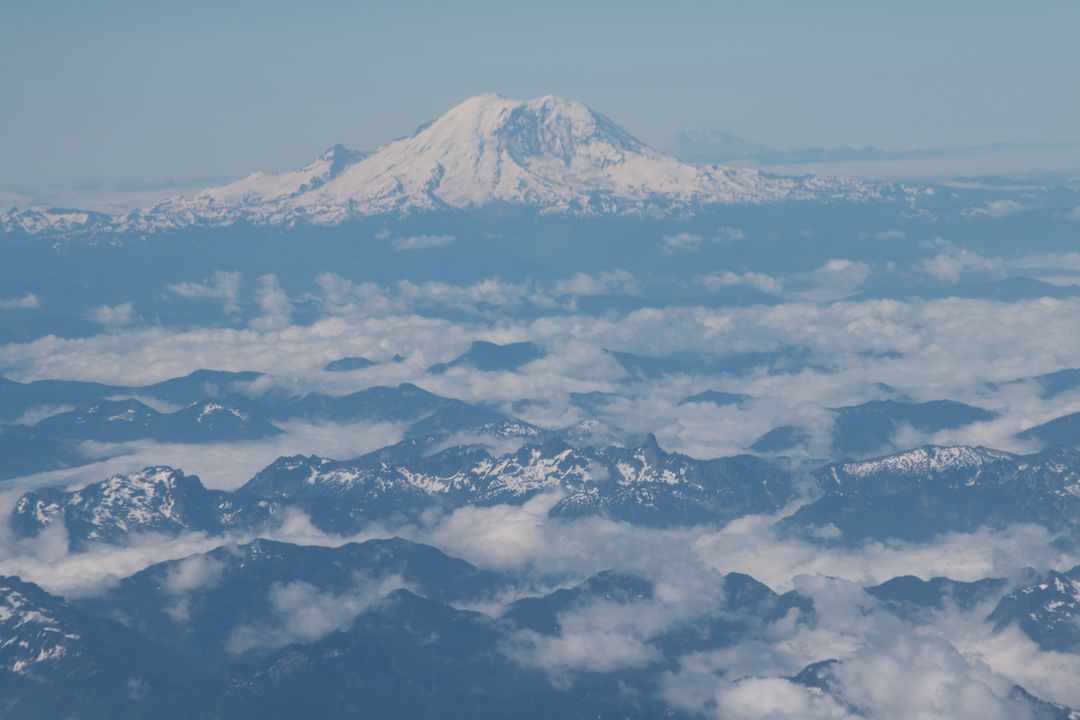
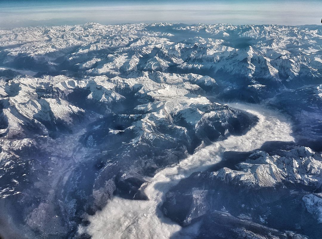
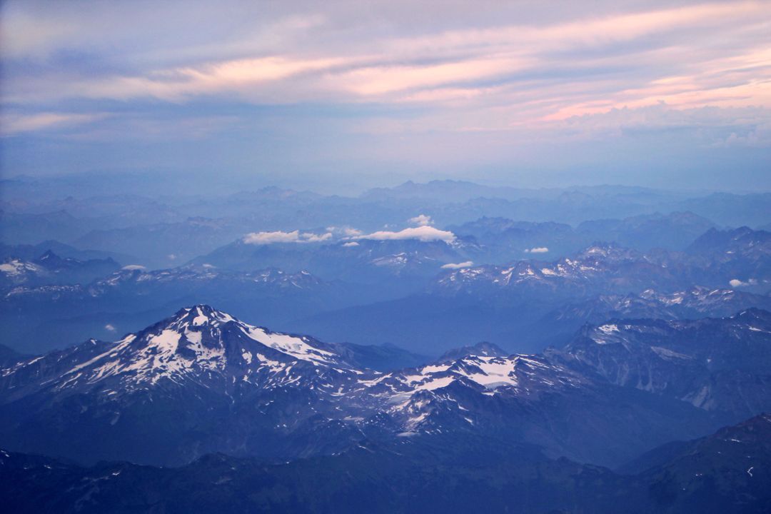
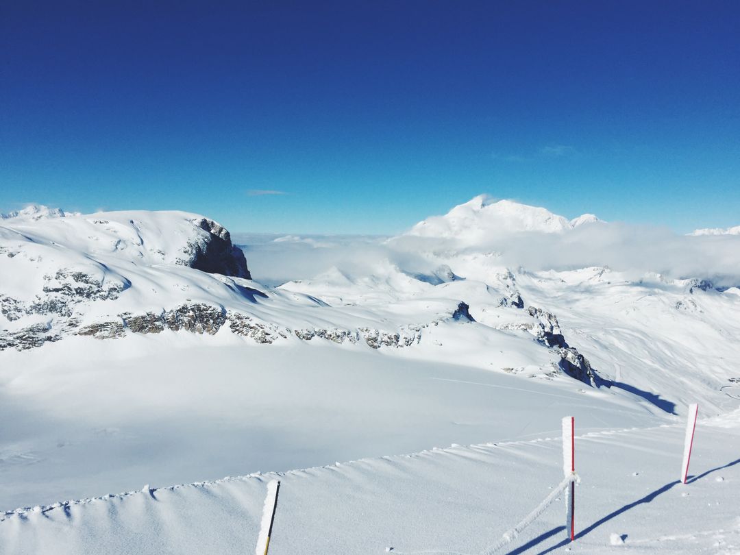
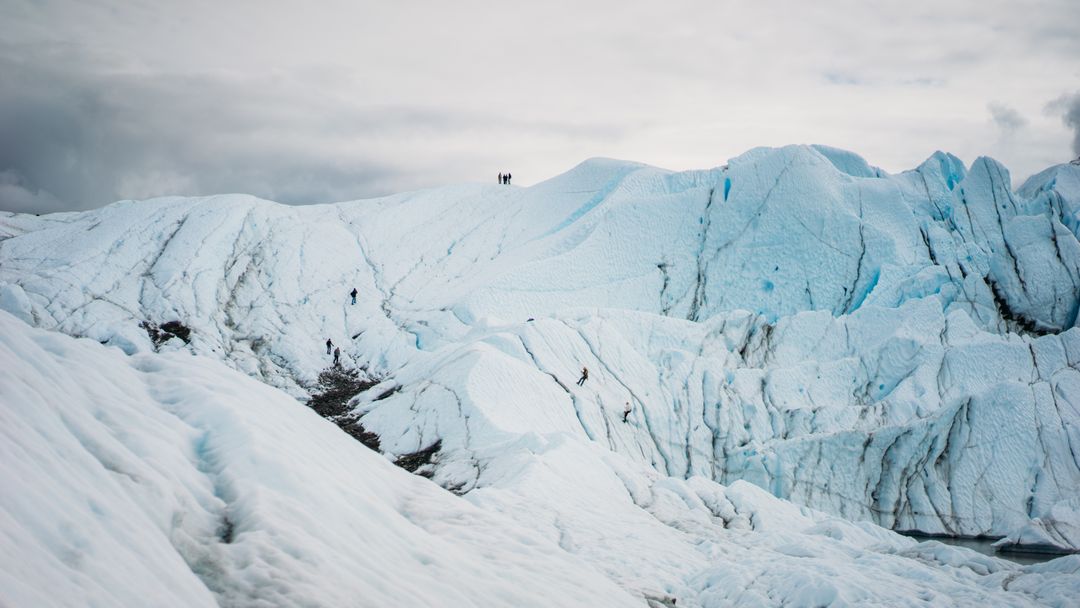
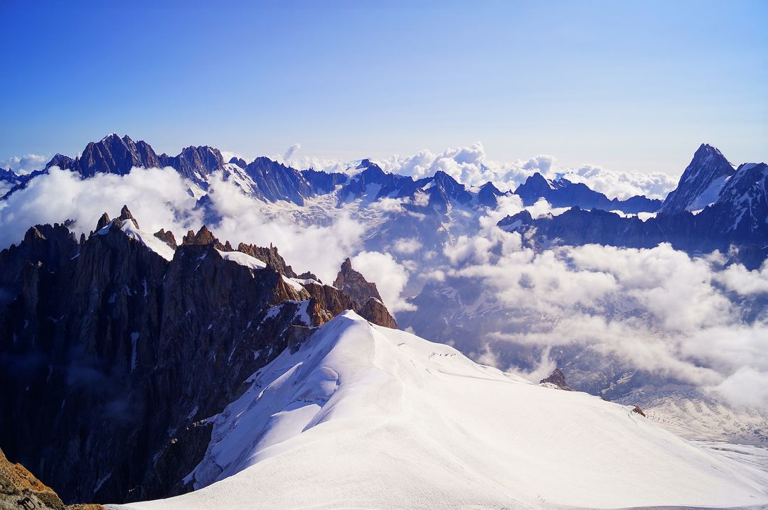
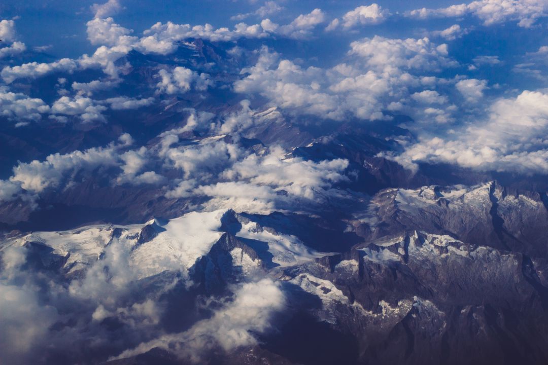
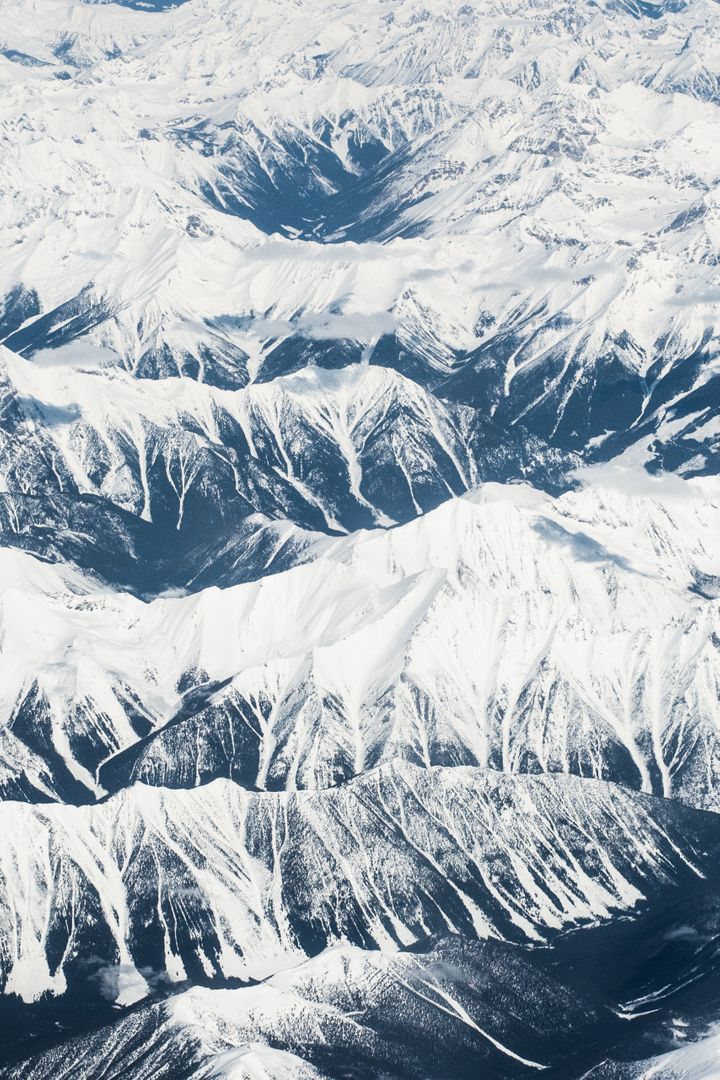
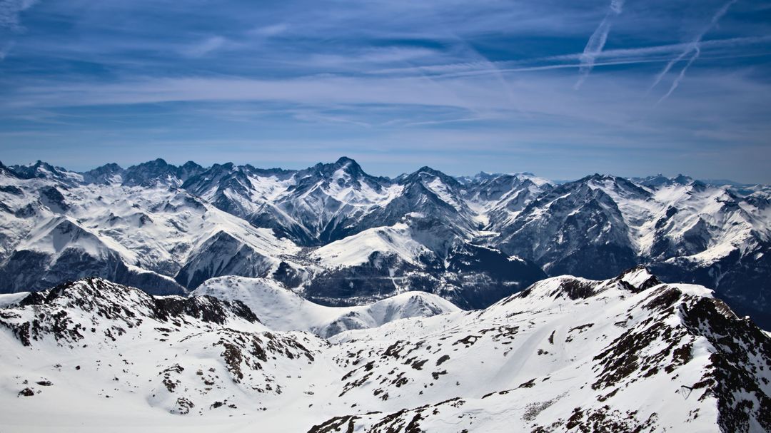
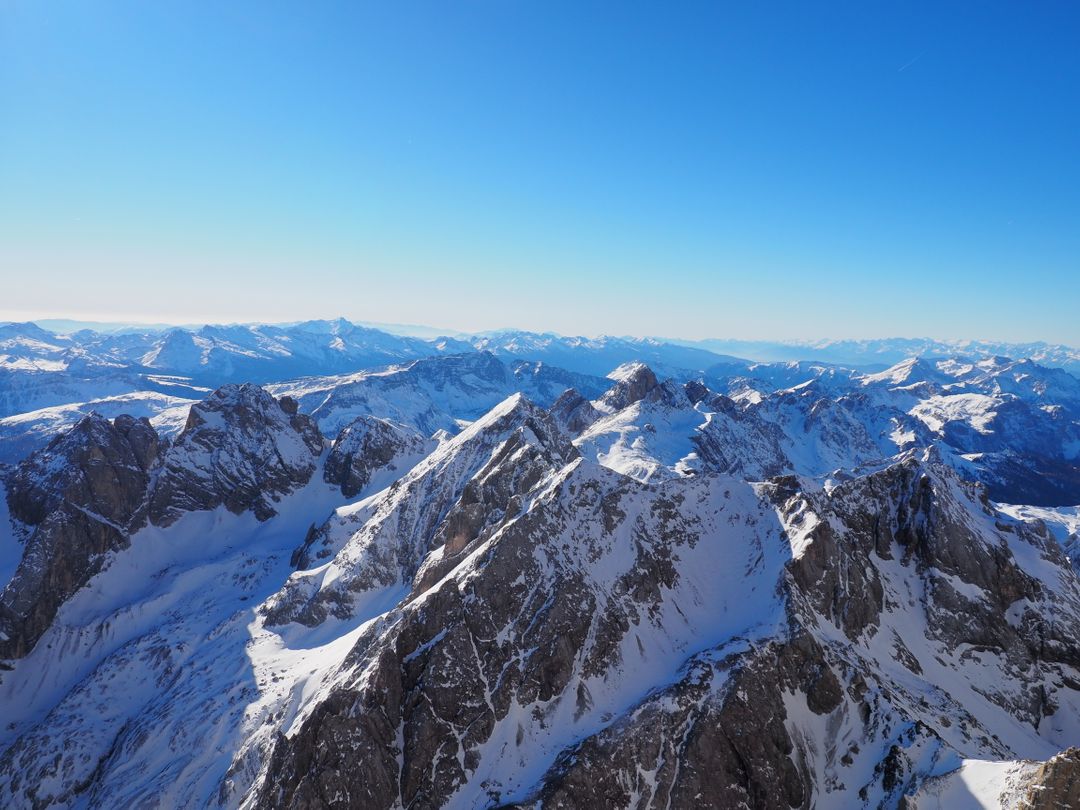
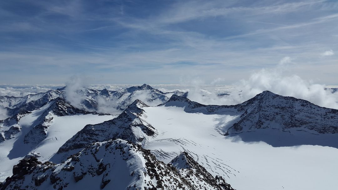
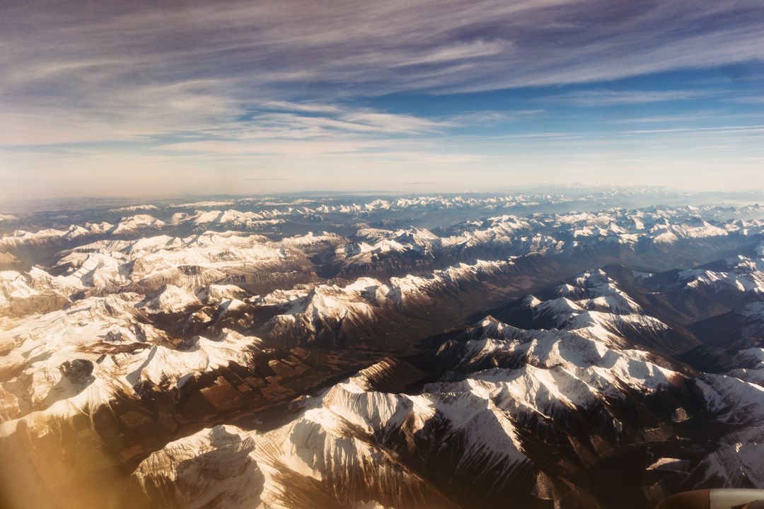
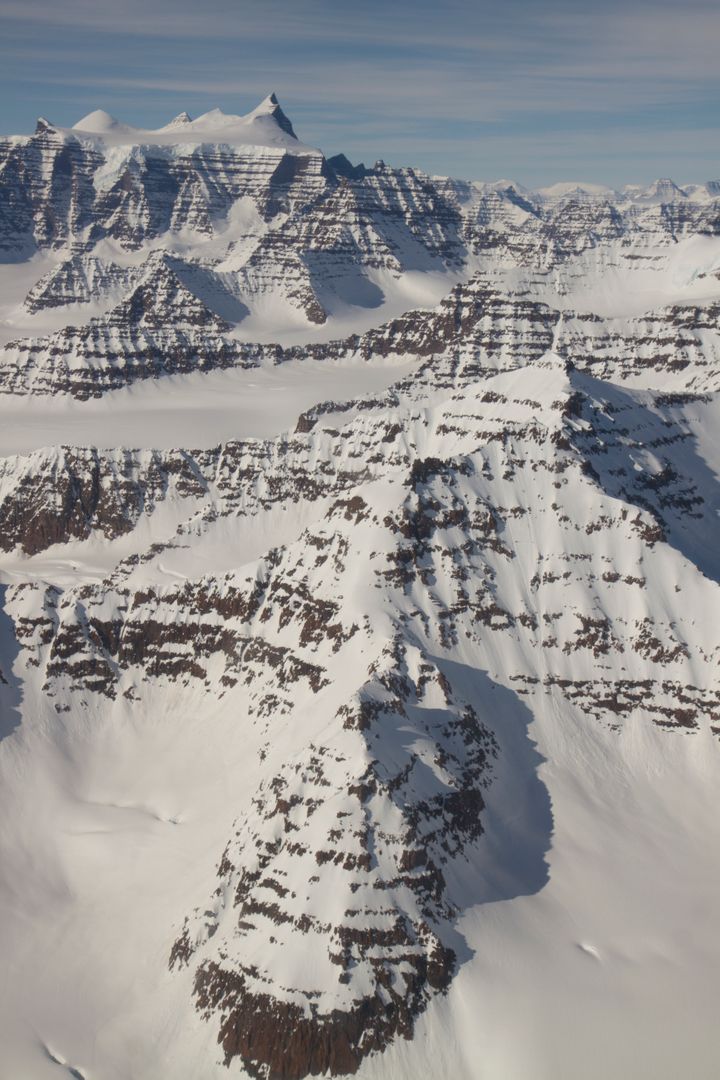
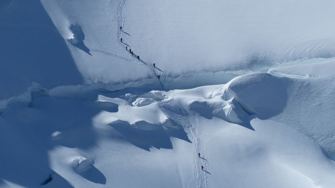
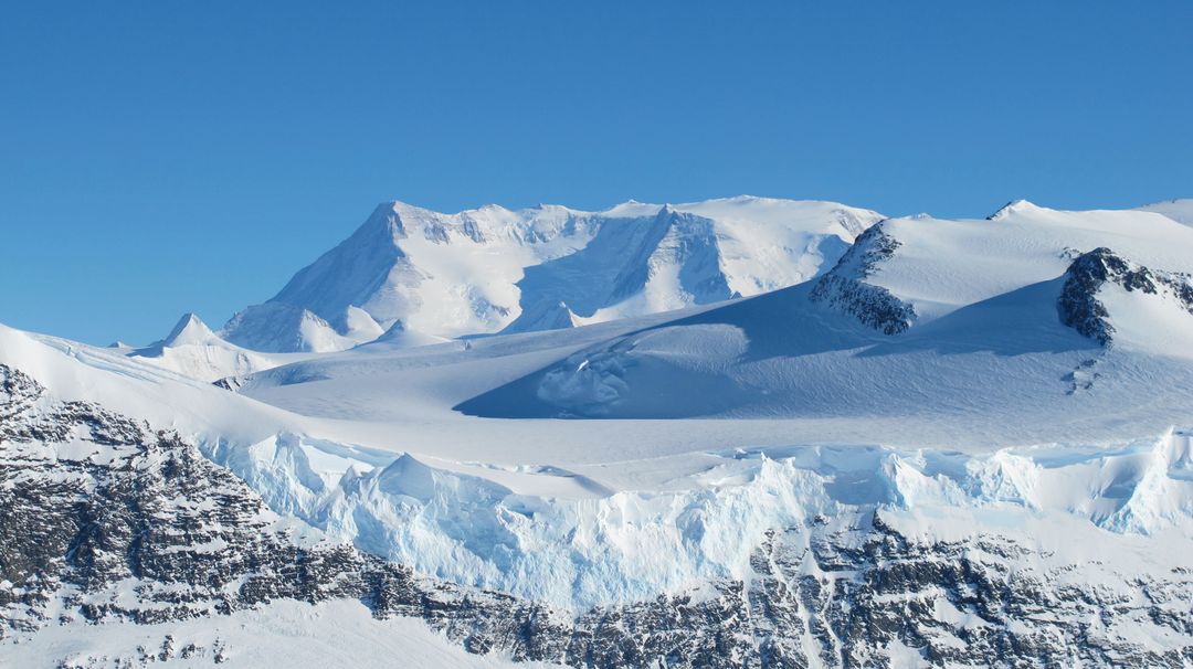
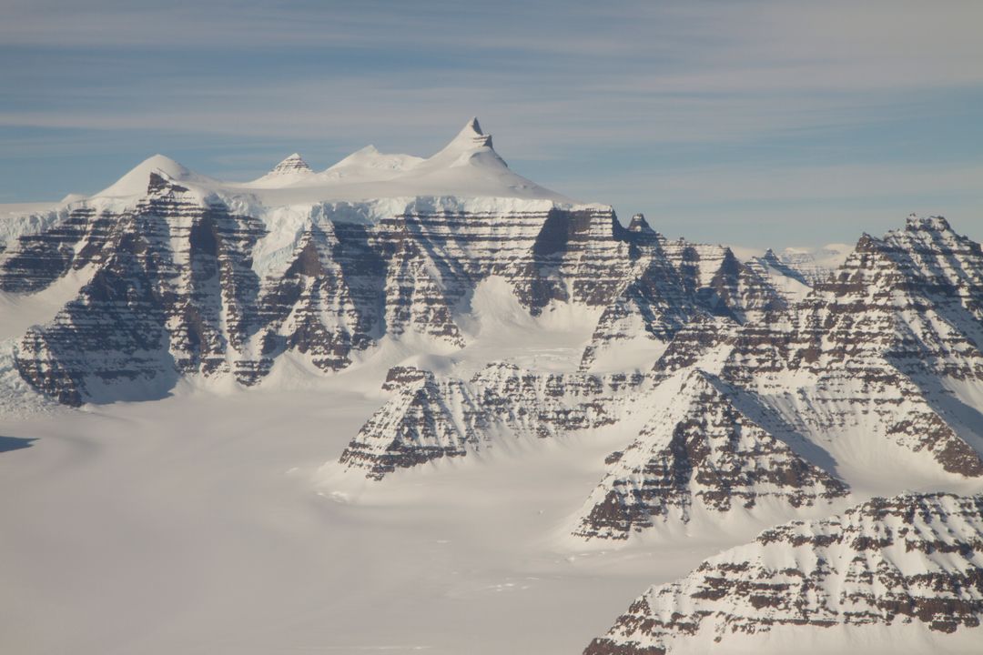
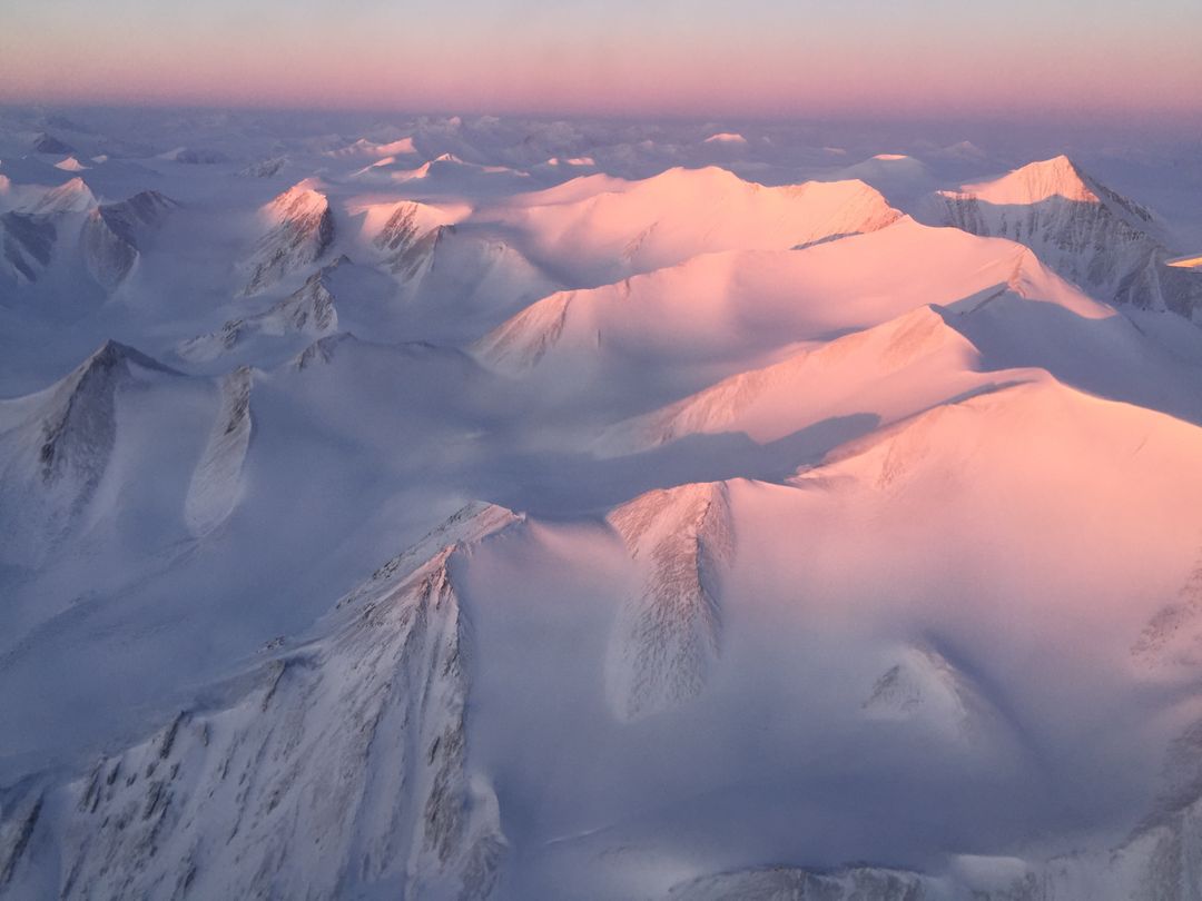
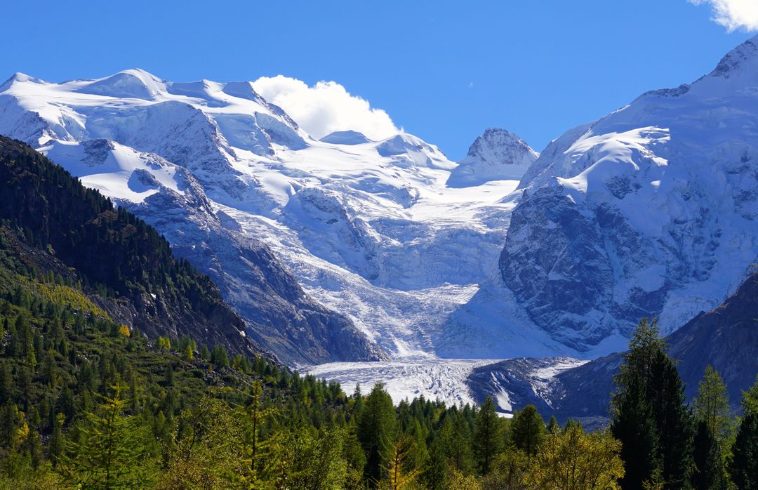
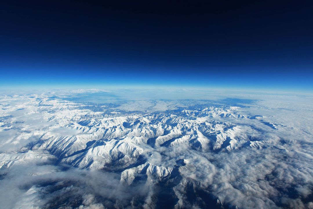
This aerial view captures Heimdal Glacier in southern Greenland, taken on October 13, 2015, from NASA's Falcon 20 aircraft at 33,000 feet above sea level. Snow-capped mountains and expansive ice fields are seen stretching across the landscape. The image visually represents research gathered by NASA's Operation IceBridge as part of an airborne survey of polar ice. It can be used to study environmental and climate change impacts, as well as for educational purposes and nature-related content in articles and presentations.

Credit Photo
If you would like to credit the Photo, here are some ways you can do so
Text Link
photo Link
<span class="text-link">
<span>
<a target="_blank" href=https://pikwizard.com/photo/aerial-view-of-heimdal-glacier-in-greenland-captured-by-nasa/fb23637b5e3a69a40a2cc8e5130ef59b/>PikWizard</a>
</span>
</span>
<span class="image-link">
<span
style="margin: 0 0 20px 0; display: inline-block; vertical-align: middle; width: 100%;"
>
<a
target="_blank"
href="https://pikwizard.com/photo/aerial-view-of-heimdal-glacier-in-greenland-captured-by-nasa/fb23637b5e3a69a40a2cc8e5130ef59b/"
style="text-decoration: none; font-size: 10px; margin: 0;"
>
<img src="https://pikwizard.com/pw/medium/fb23637b5e3a69a40a2cc8e5130ef59b.jpg" style="margin: 0; width: 100%;" alt="" />
<p style="font-size: 12px; margin: 0;">PikWizard</p>
</a>
</span>
</span>
CC0 (Creative Commons Zero)
Free for personal and commercial use.
Similar Free Stock Images