- Home >
- Stock Photos >
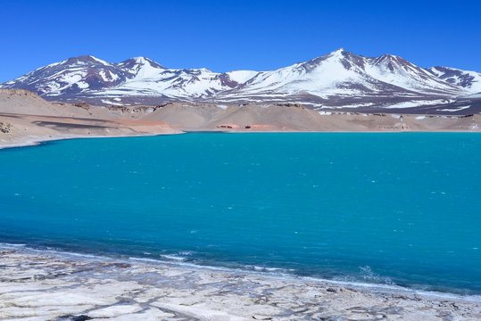
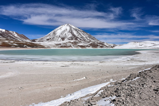
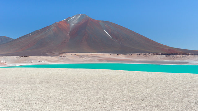
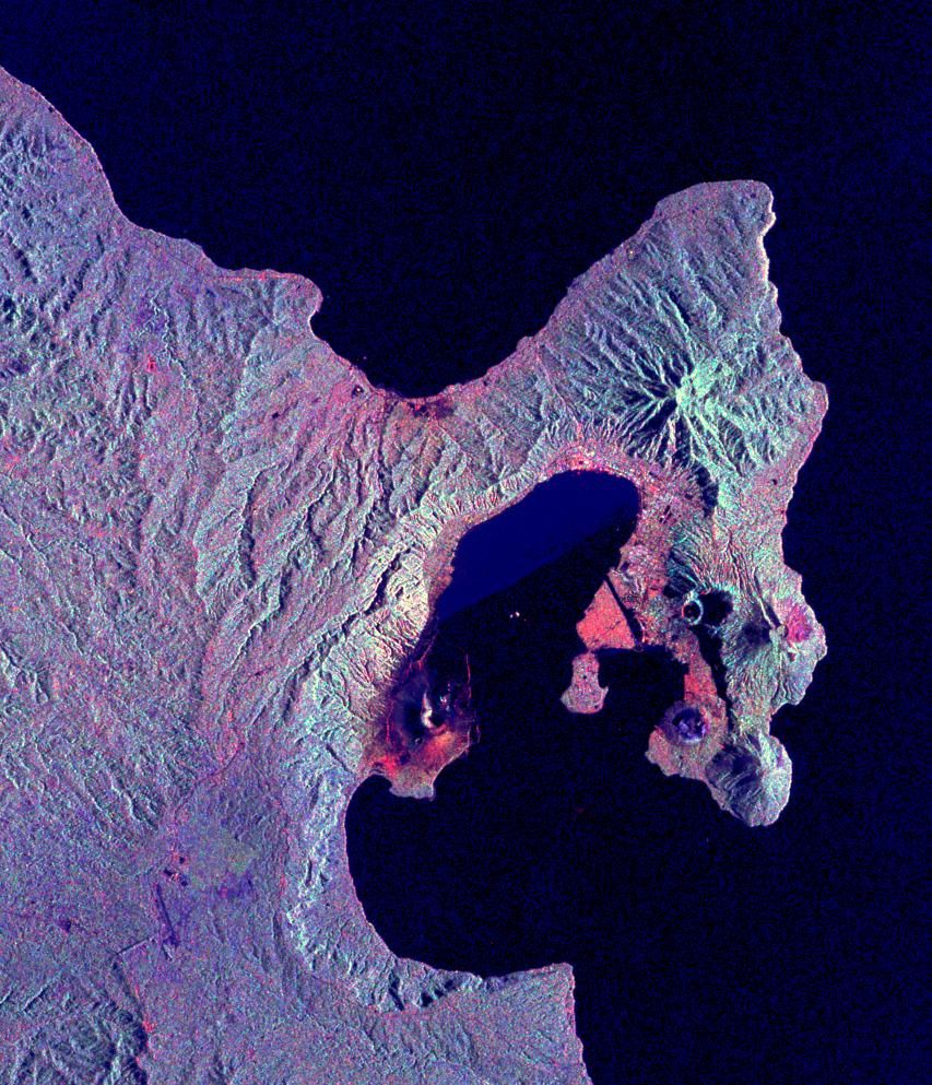
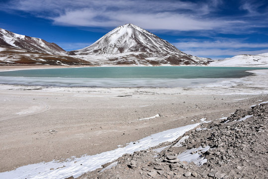
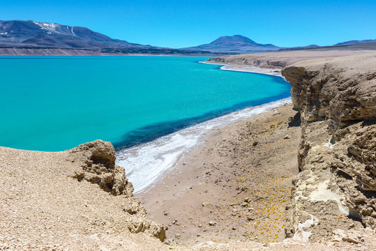
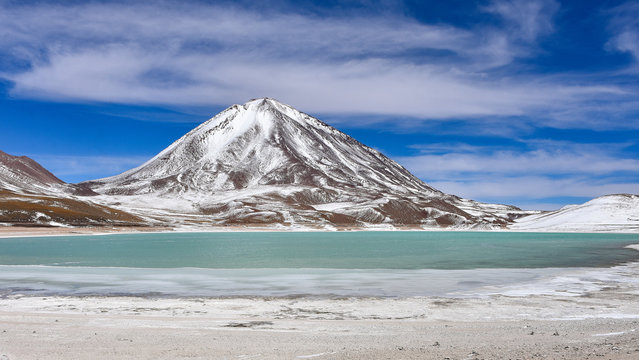
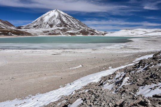
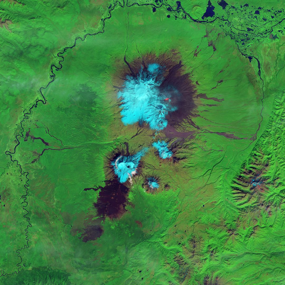
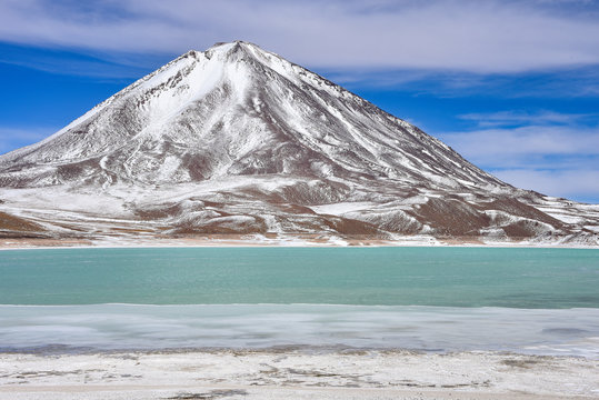
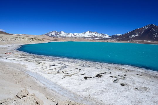
- Aerial View of Laguna Verde and Andes Mountains Captured from Space Shuttle Columbia
Aerial View of Laguna Verde and Andes Mountains Captured from Space Shuttle Columbia Image
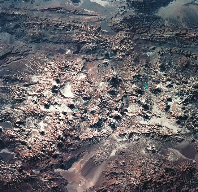
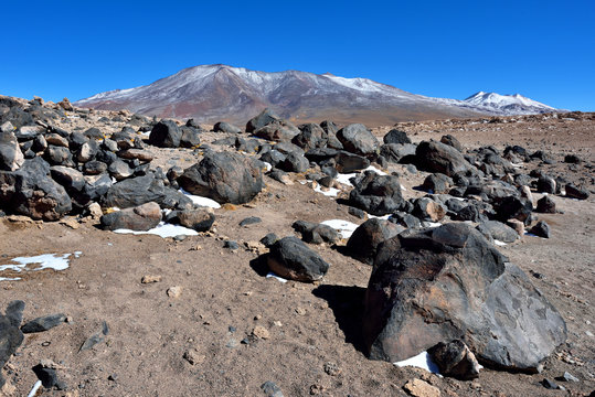
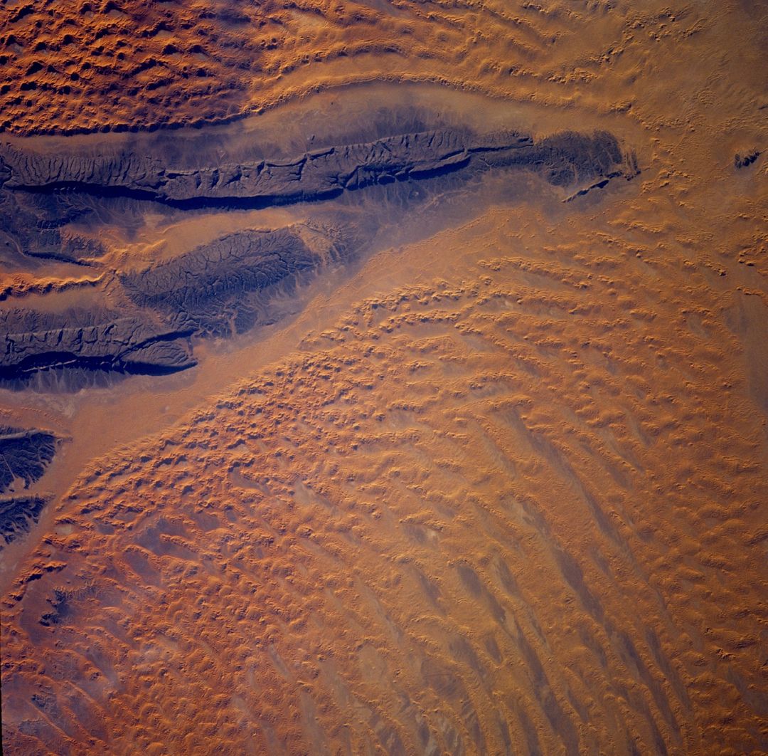
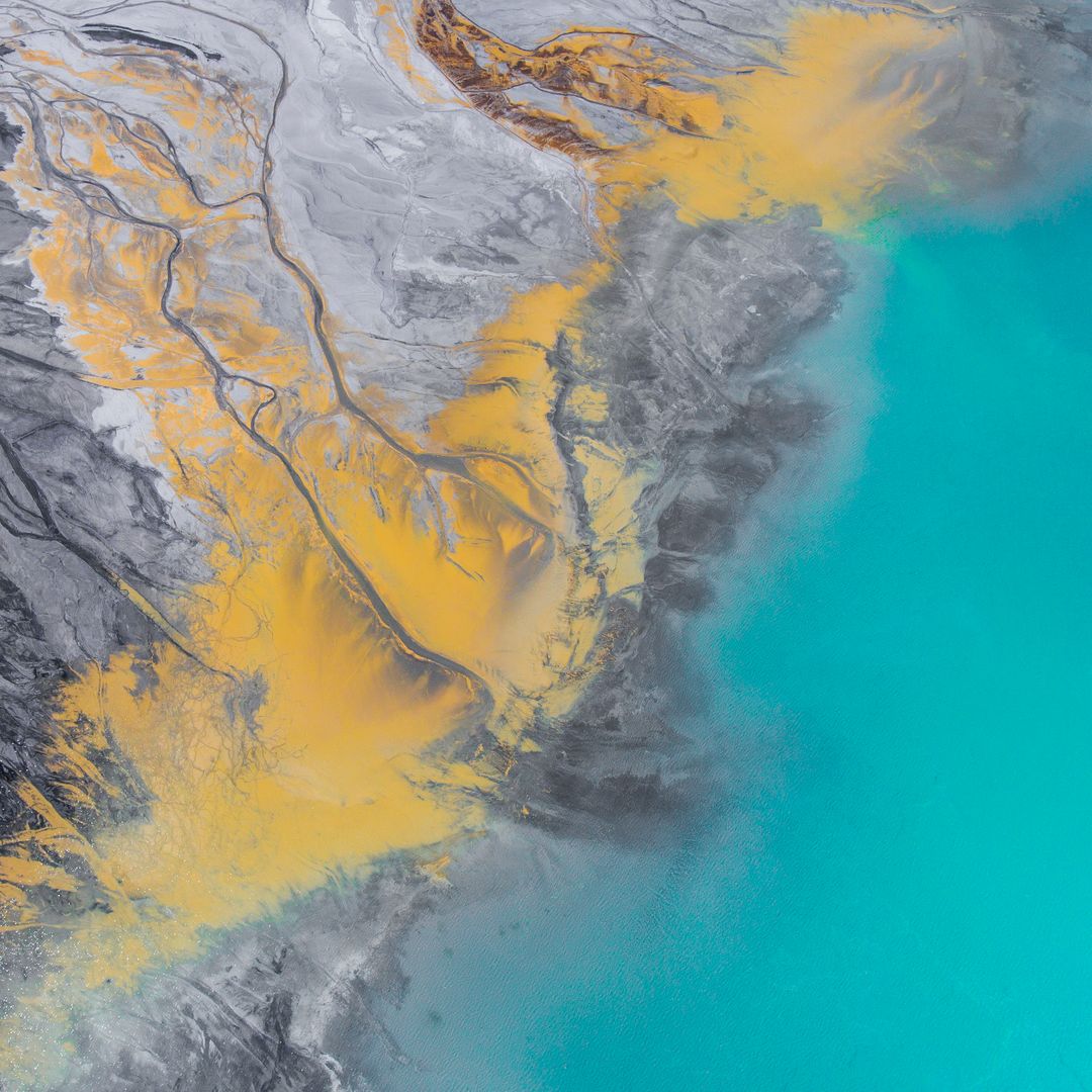
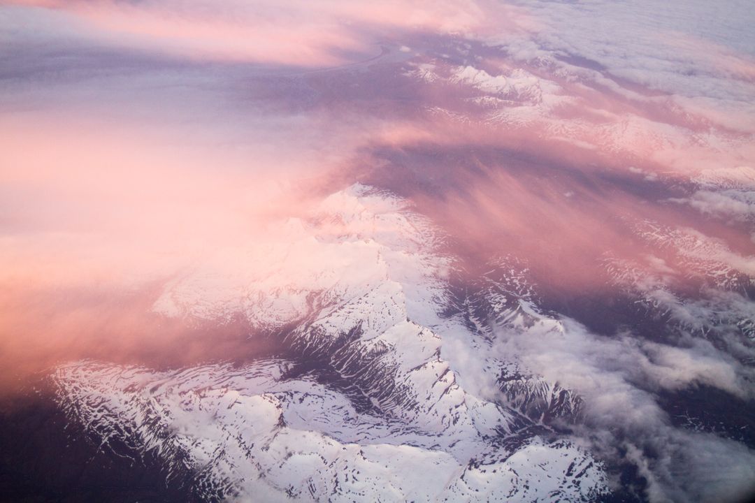
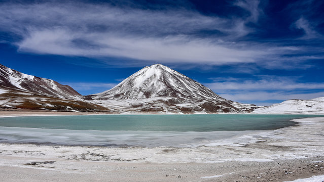
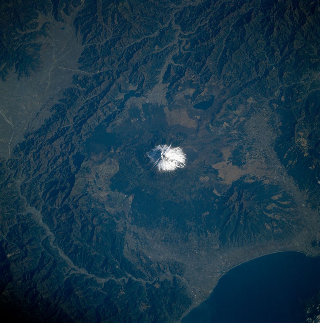
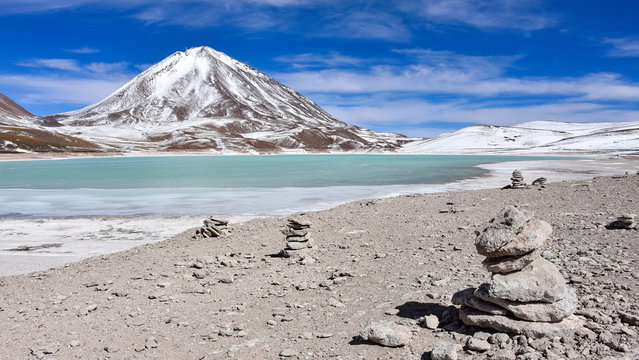
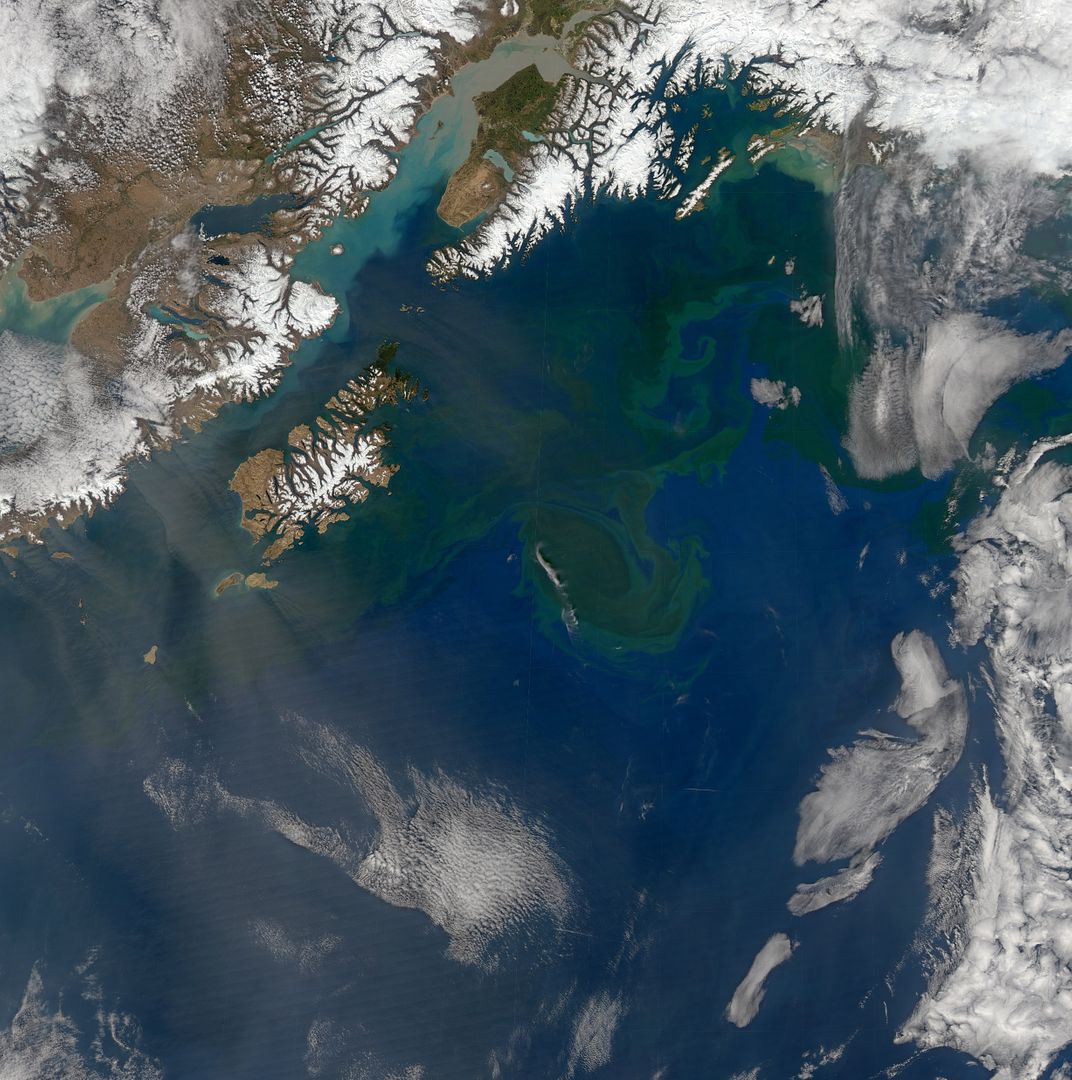
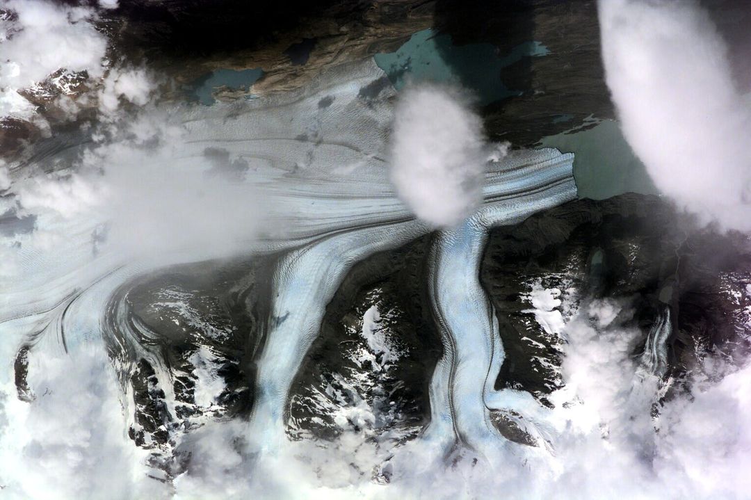
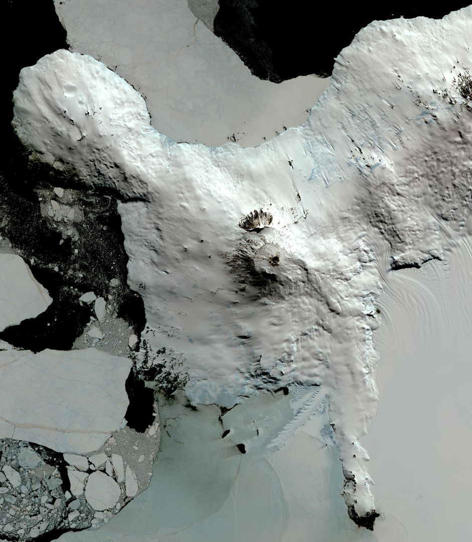
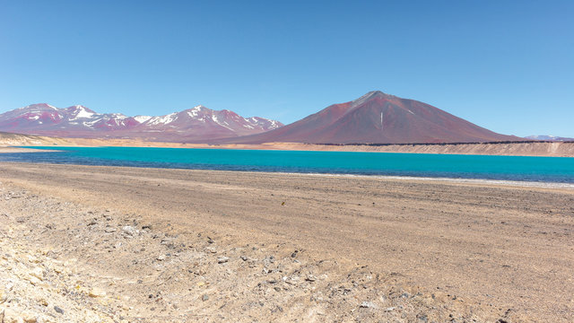
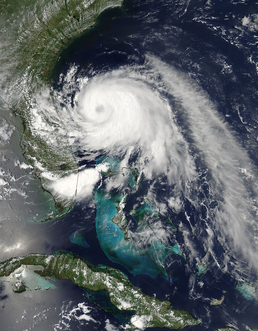
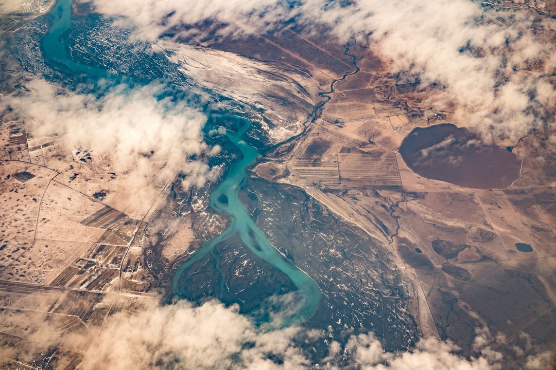
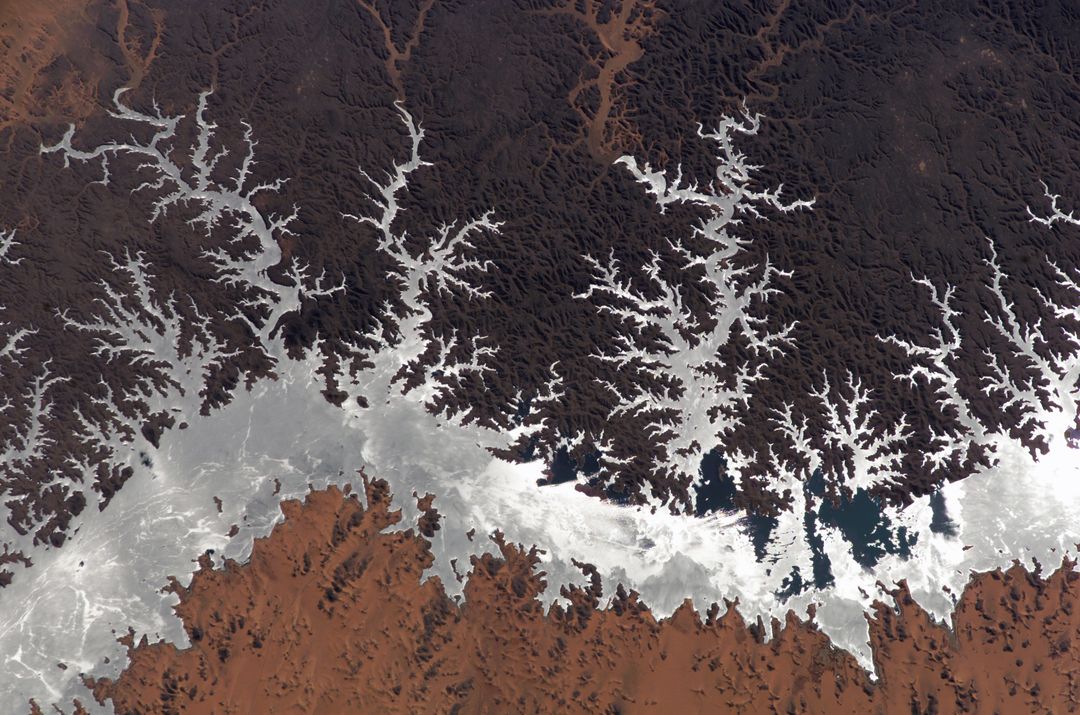
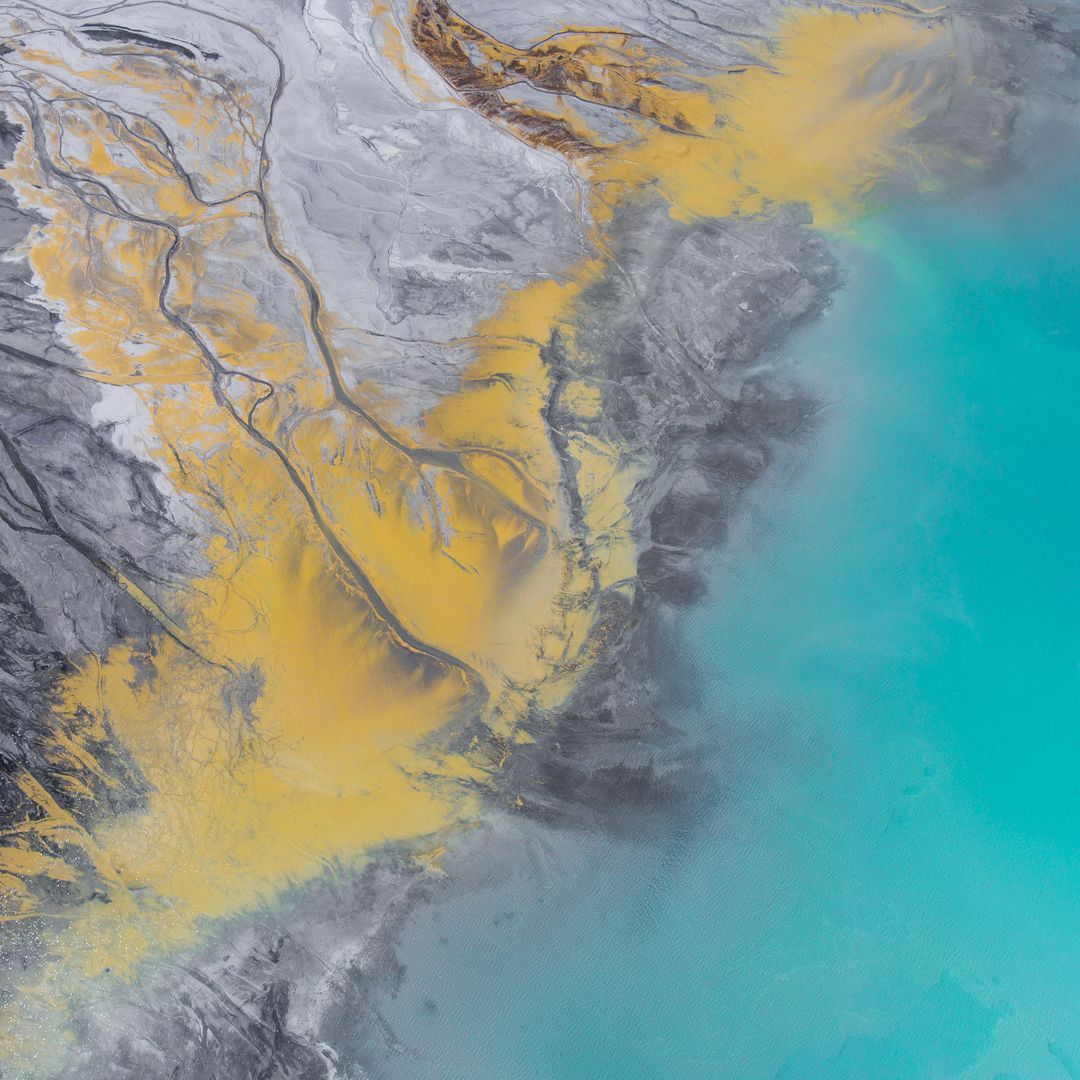
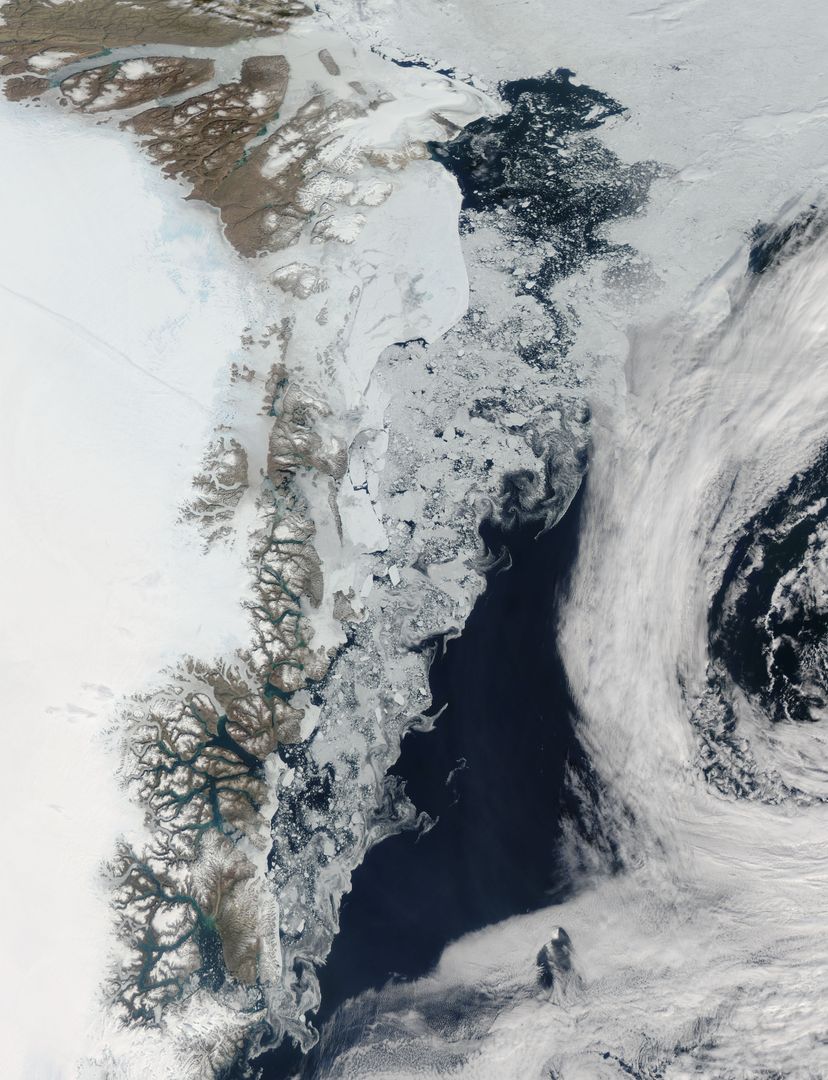
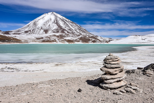
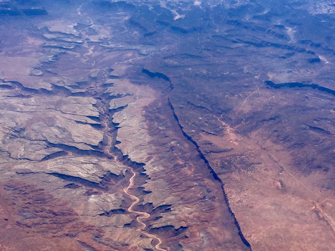
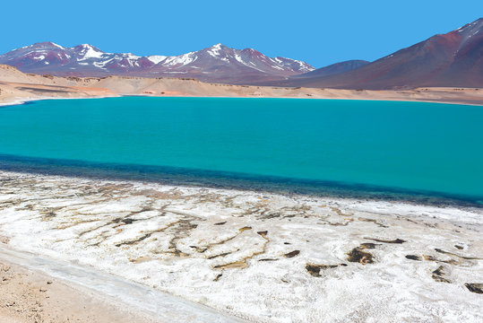
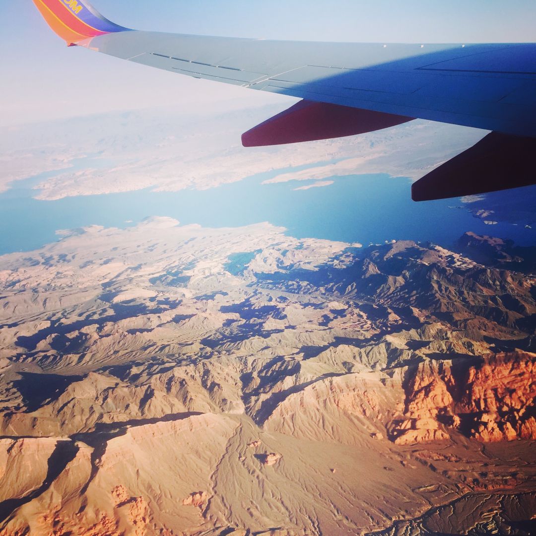
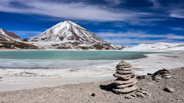
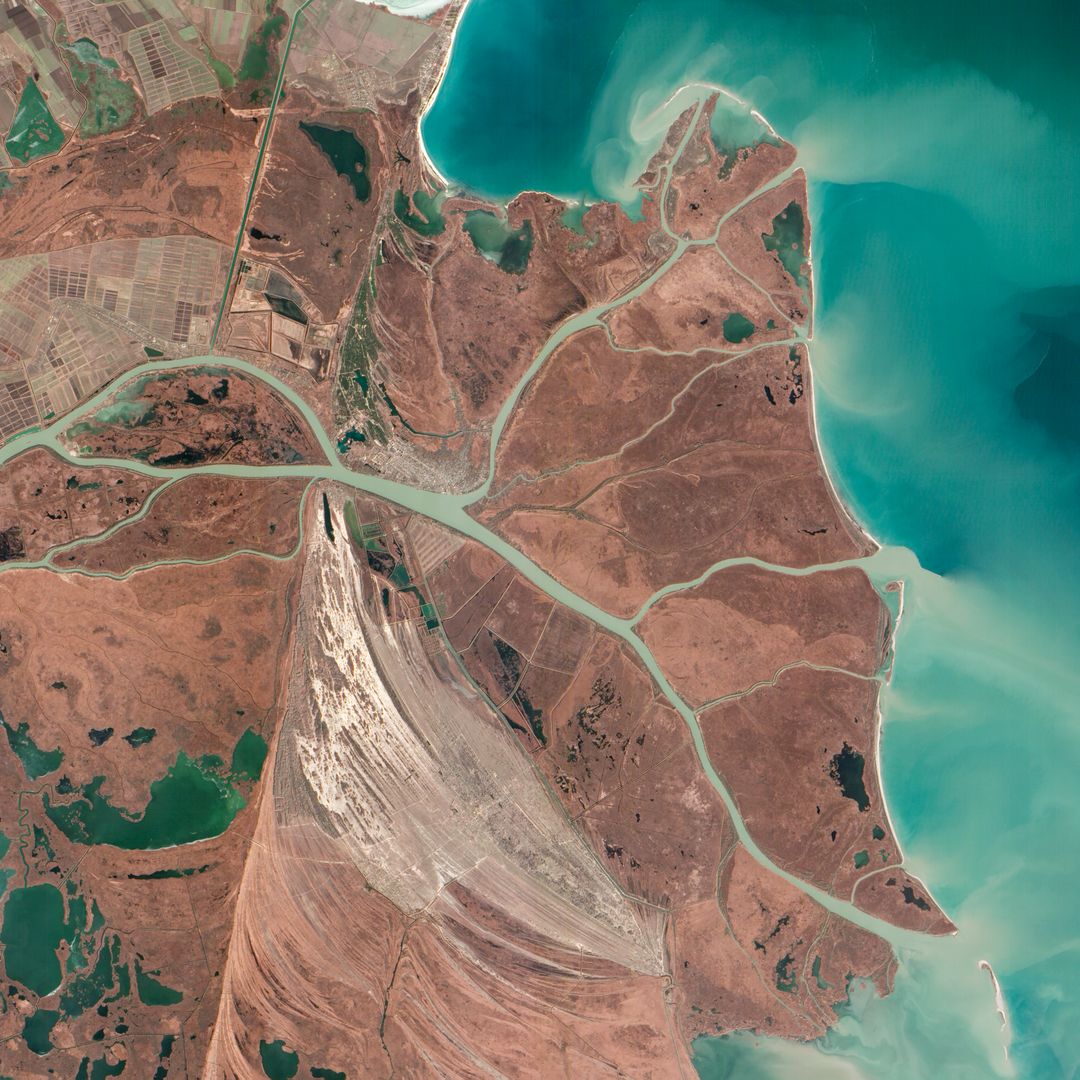
This aerial view vividly shows Laguna Verde and surrounding volcanic peaks in the Atacama Province of Chile and Catamarca Province of Argentina. The vibrant terrain and the unique salt flats, Salar de Perdenales and Salar de Maricunga, exemplify the stark beauty of this region. This image is ideal for use in educational materials, geographic textbooks, travel brochures, scientific articles, and websites focusing on natural wonders and geological phenomena.
Powered by 

Credit Photo
If you would like to credit the Photo, here are some ways you can do so
Text Link
photo Link
<span class="text-link">
<span>
<a target="_blank" href=https://pikwizard.com/photo/aerial-view-of-laguna-verde-and-andes-mountains-captured-from-space-shuttle-columbia/1b1b8d966a128dd9db2f8eba999f2d77/>PikWizard</a>
</span>
</span>
<span class="image-link">
<span
style="margin: 0 0 20px 0; display: inline-block; vertical-align: middle; width: 100%;"
>
<a
target="_blank"
href="https://pikwizard.com/photo/aerial-view-of-laguna-verde-and-andes-mountains-captured-from-space-shuttle-columbia/1b1b8d966a128dd9db2f8eba999f2d77/"
style="text-decoration: none; font-size: 10px; margin: 0;"
>
<img src="https://pikwizard.com/pw/medium/1b1b8d966a128dd9db2f8eba999f2d77.jpg" style="margin: 0; width: 100%;" alt="" />
<p style="font-size: 12px; margin: 0;">PikWizard</p>
</a>
</span>
</span>
CC0 (Creative Commons Zero)
Free for personal and commercial use.
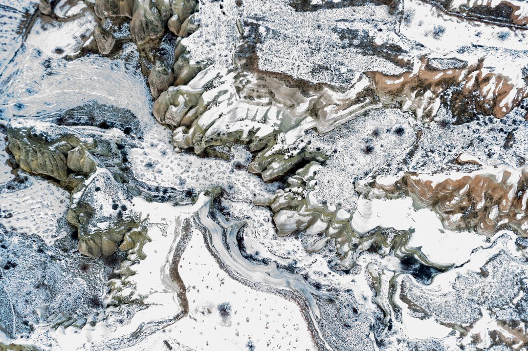
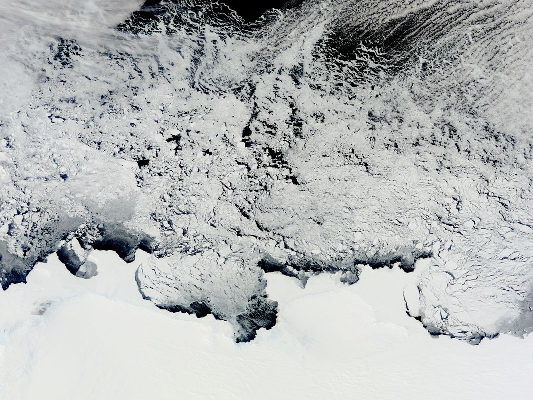
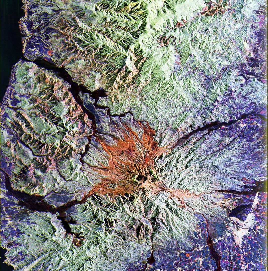
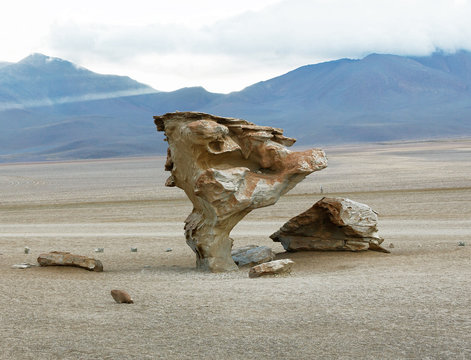
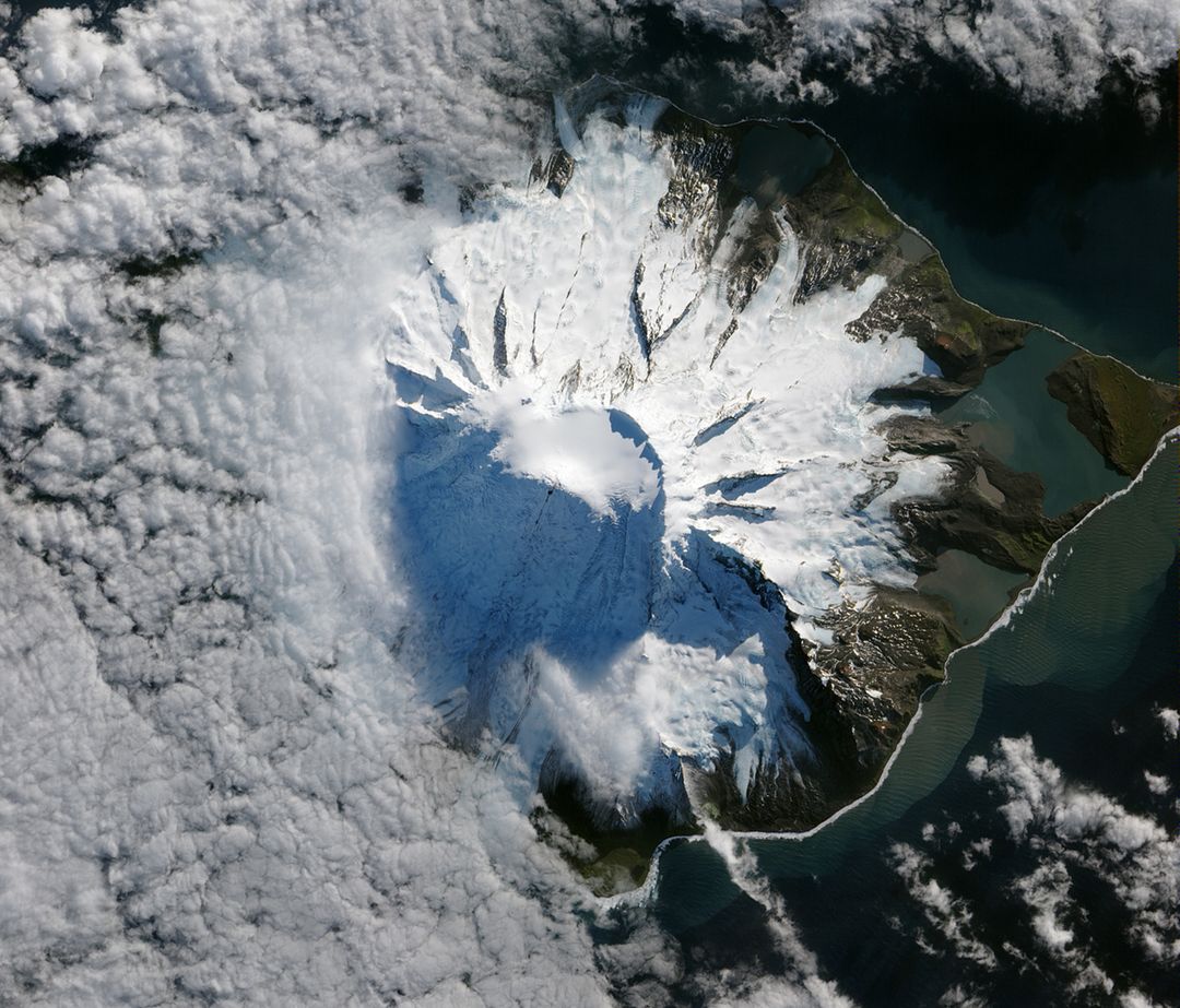
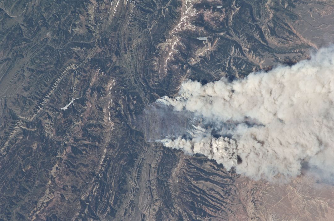
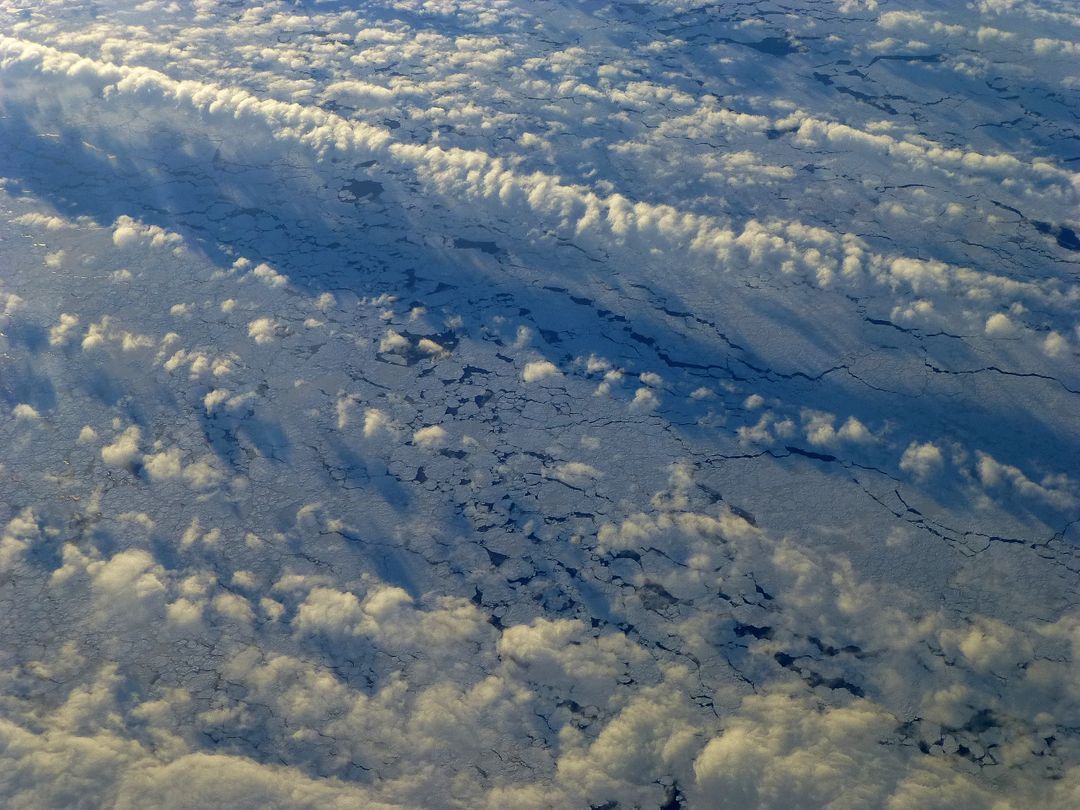
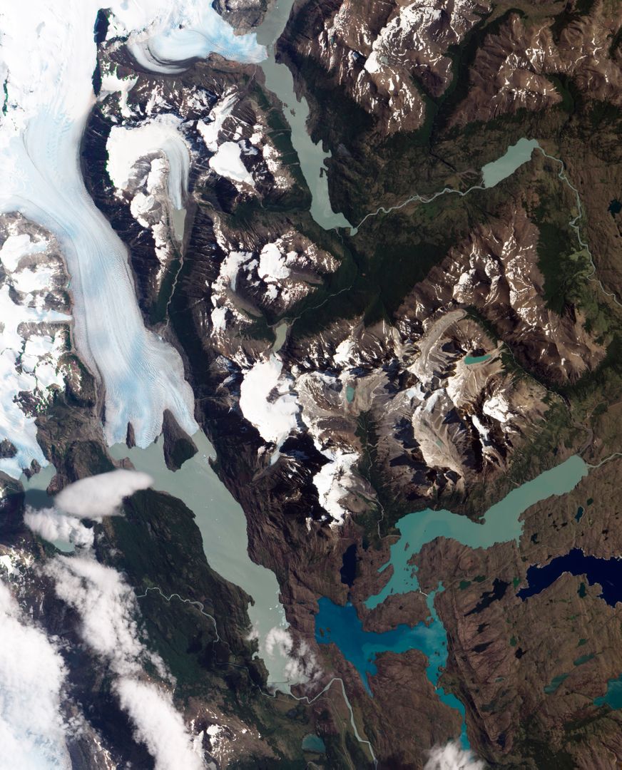
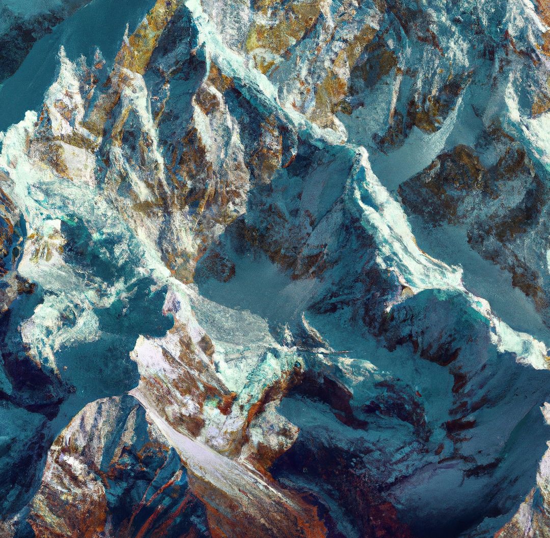
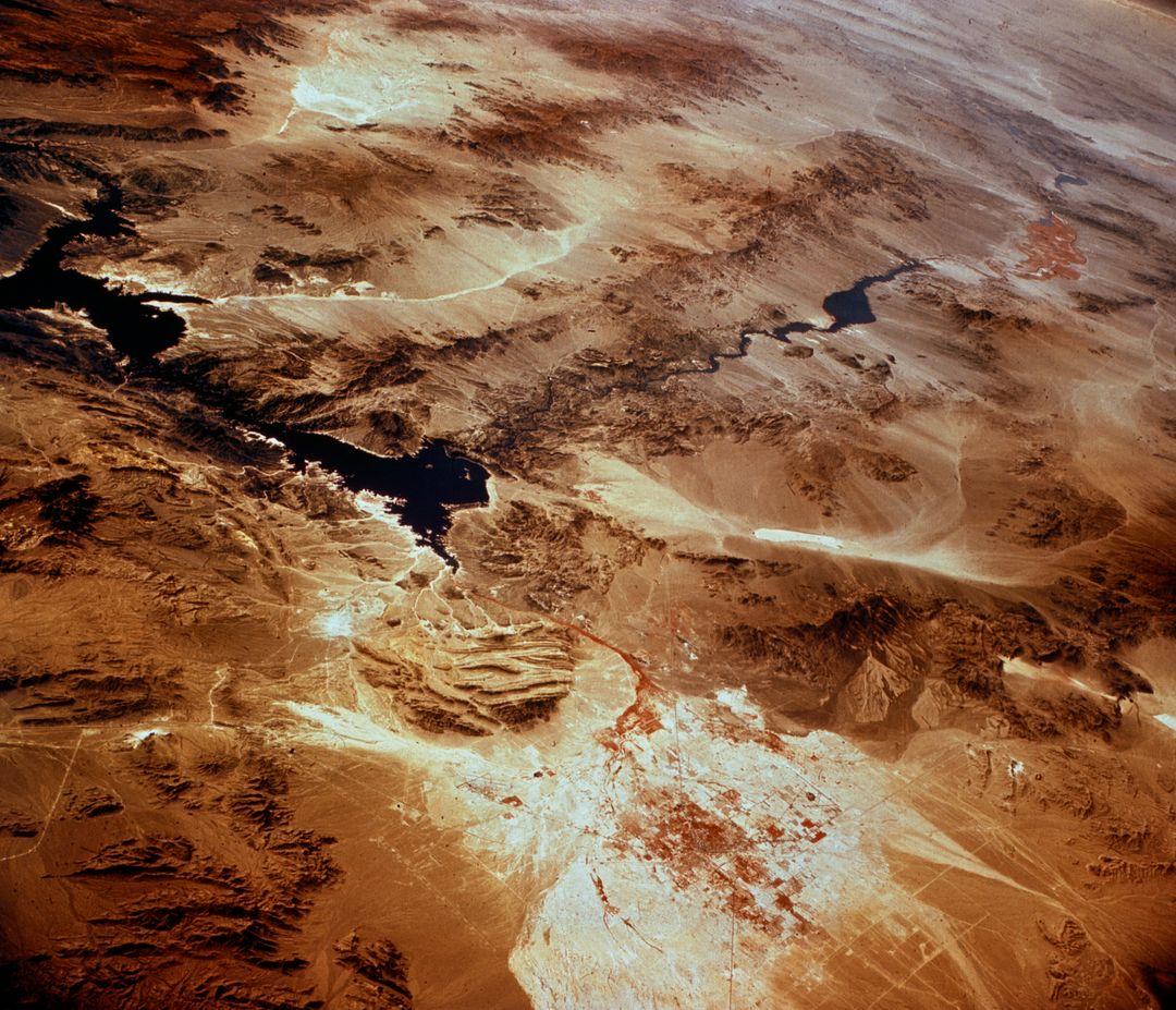
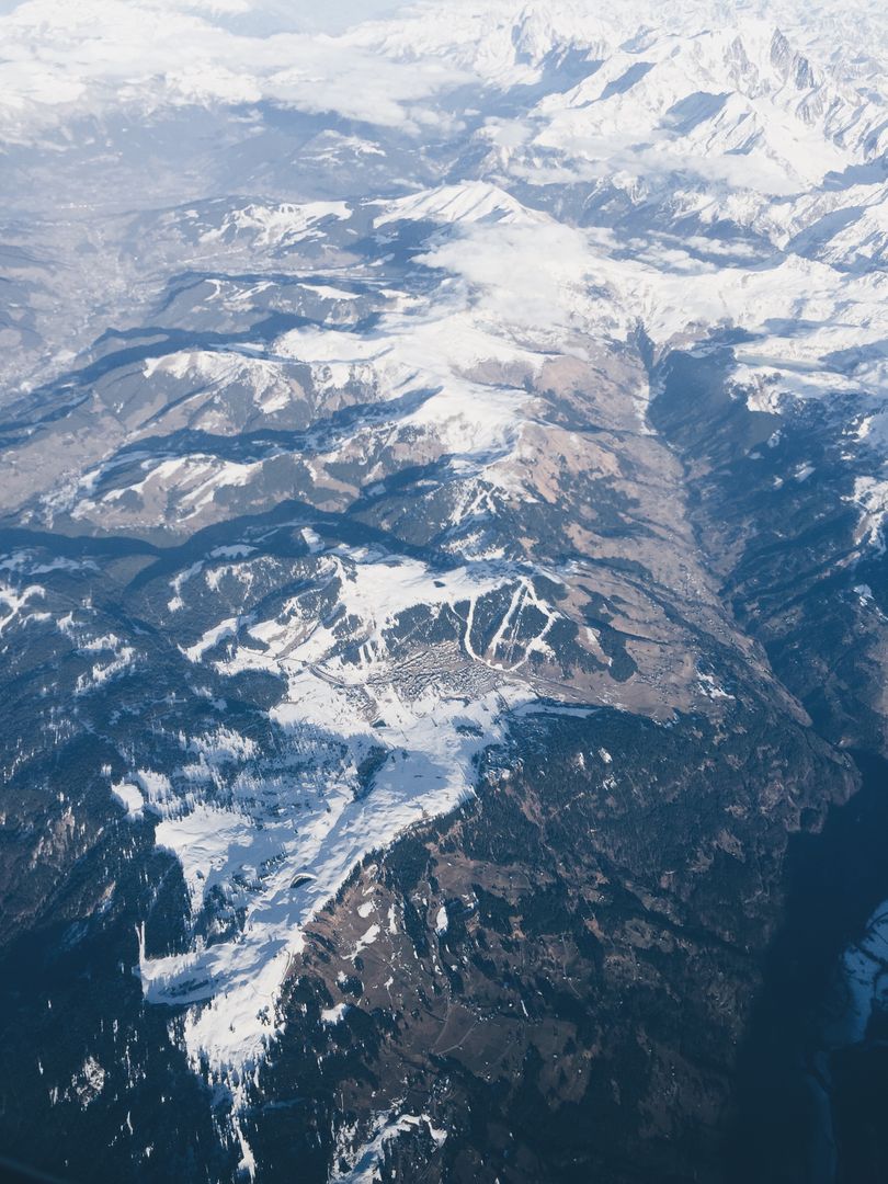
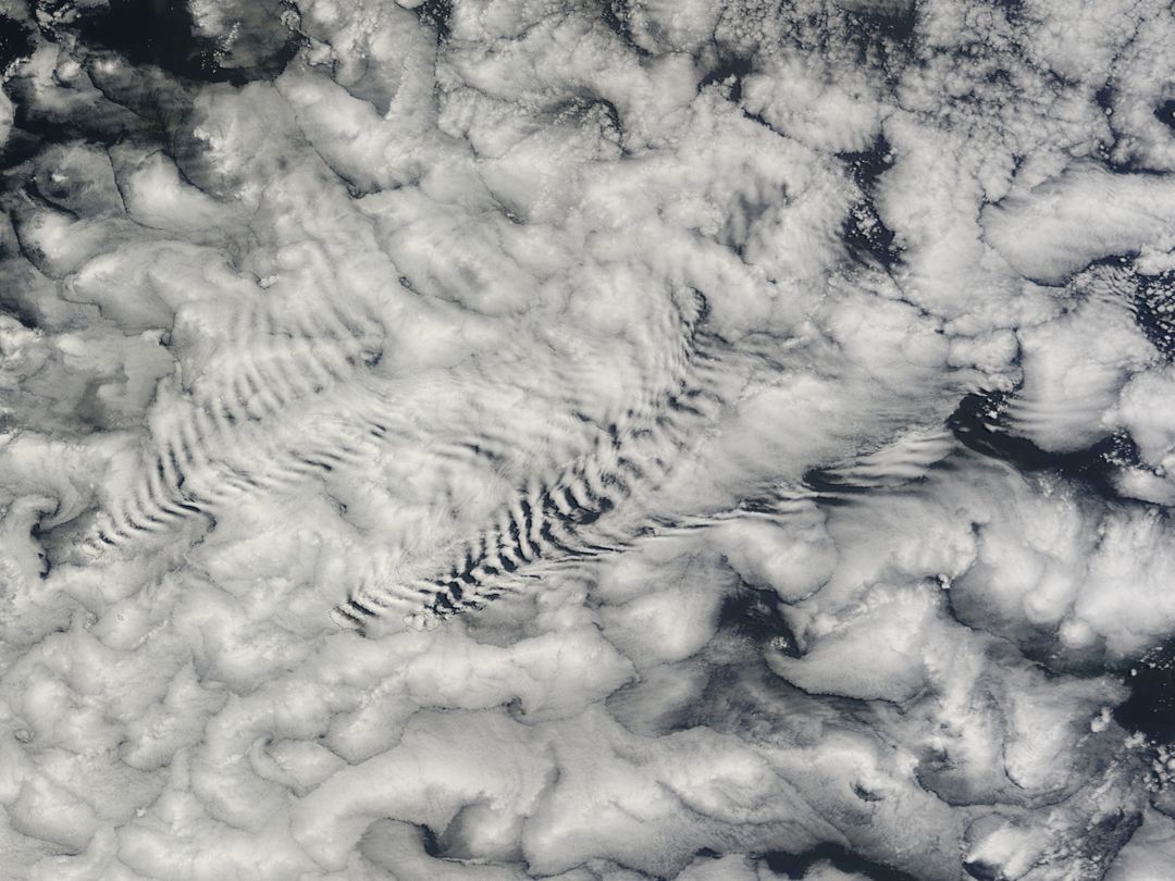
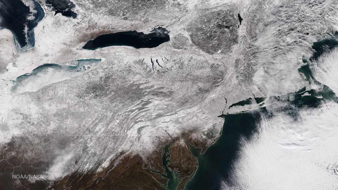
Similar Free Stock Images
Premium

Premium

Premium


Premium


Premium
Premium

Premium

Premium

Premium
Premium
Premium
Premium


Premium
Premium
Premium
Premium