
- Home >
- Stock Photos >
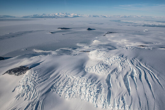
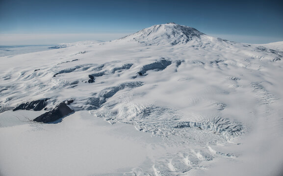
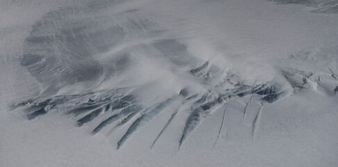
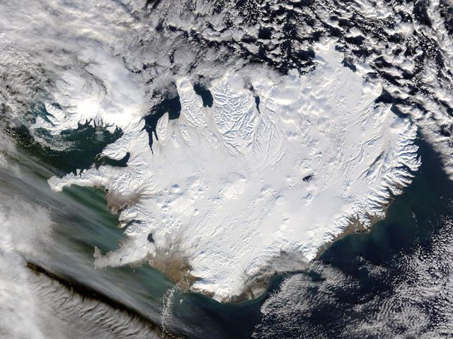
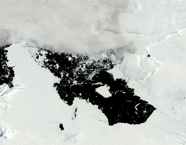
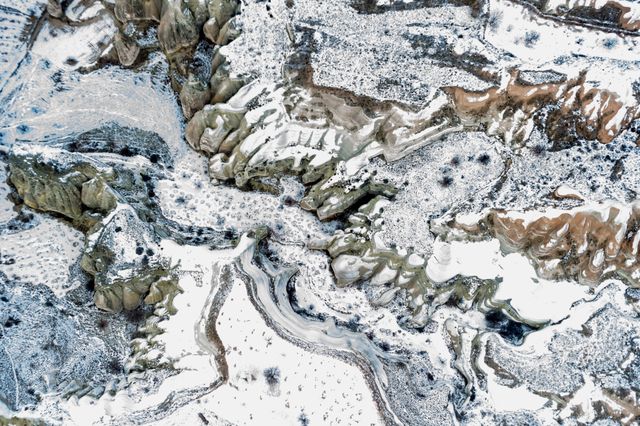
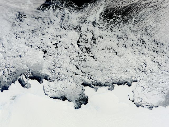
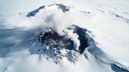
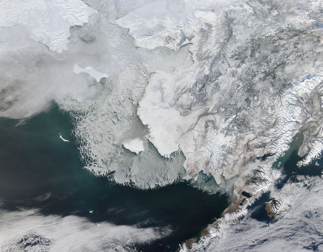
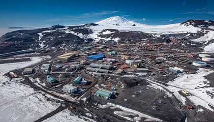
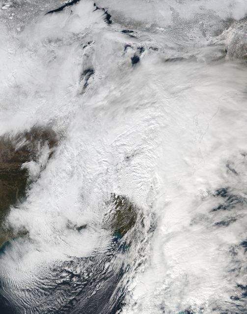
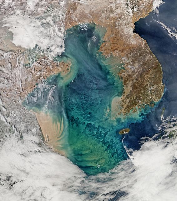
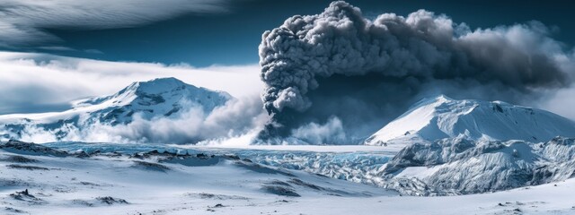
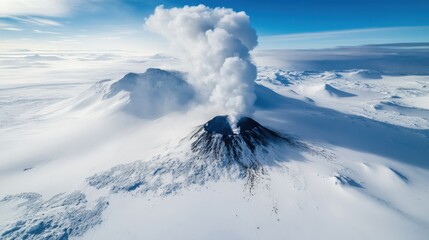
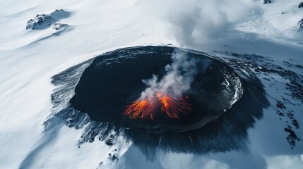
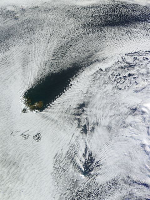
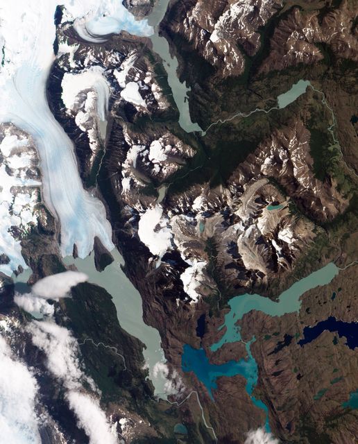
- Aerial View of Mount Erebus, Antarctica's Active Volcano, Overlooking McMurdo Research Station
Aerial View of Mount Erebus, Antarctica's Active Volcano, Overlooking McMurdo Research Station Image
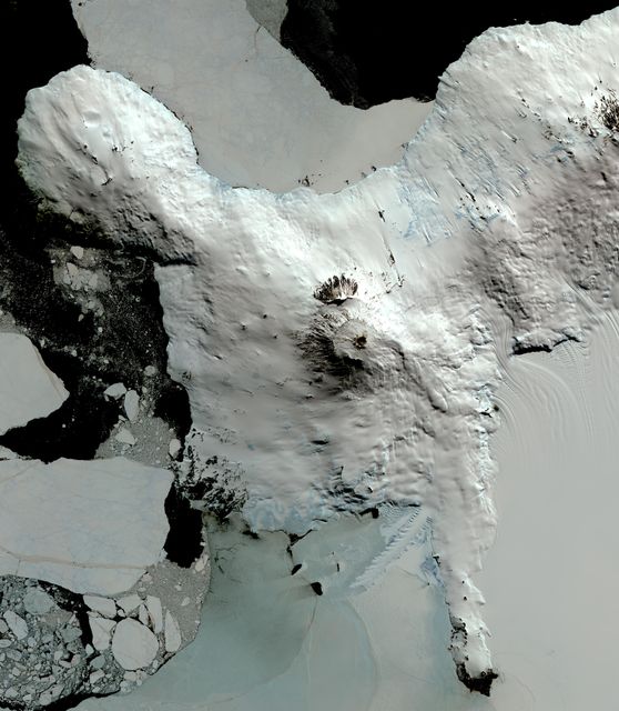
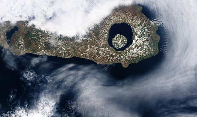
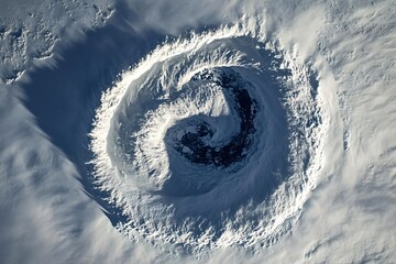
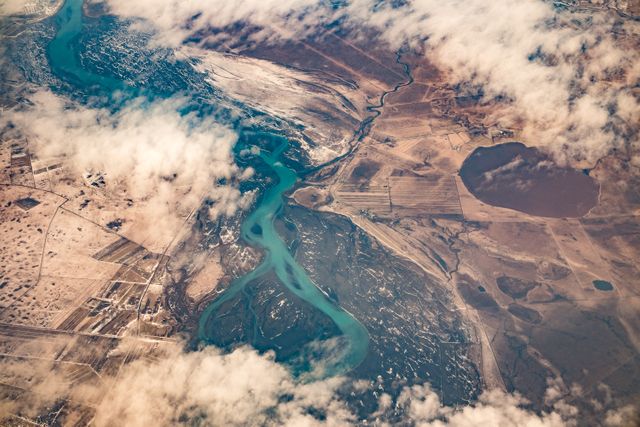
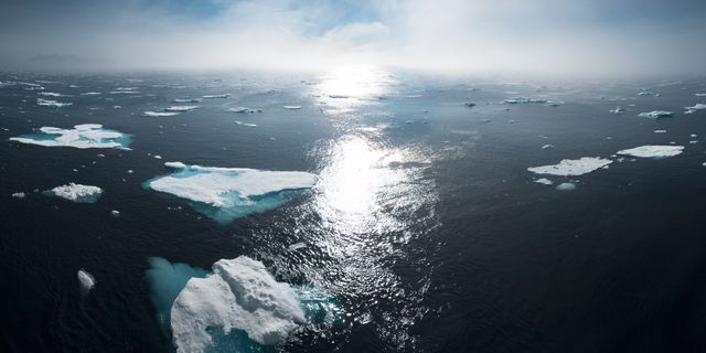
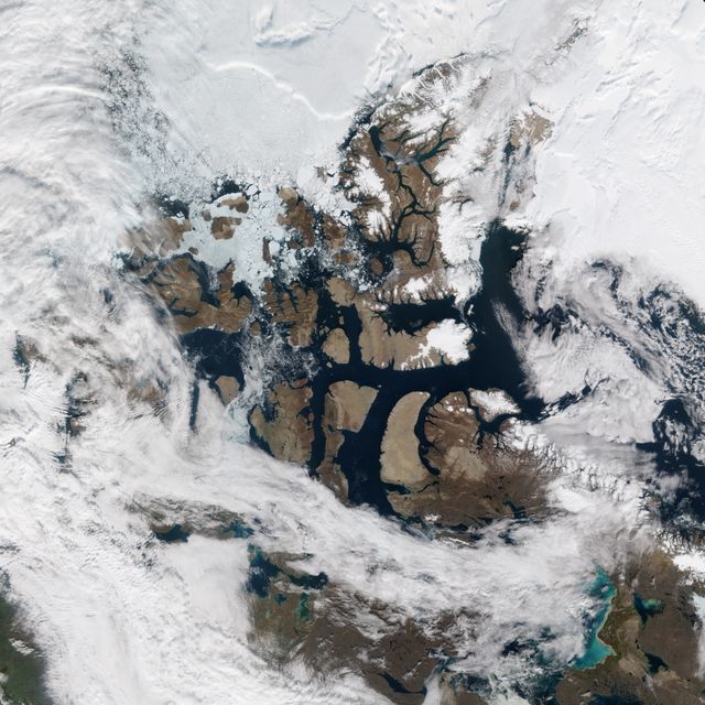
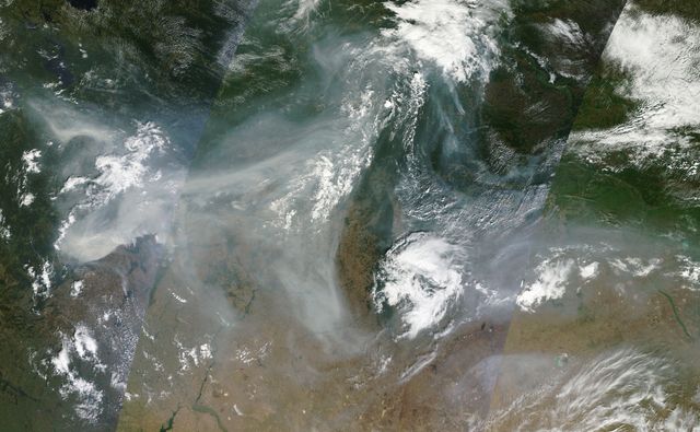
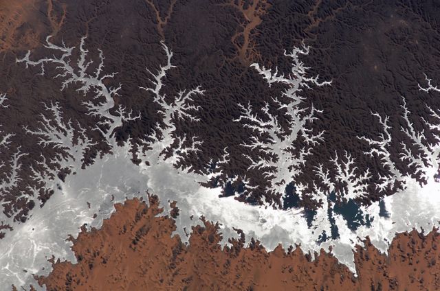
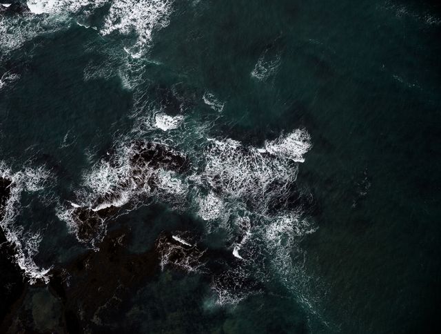
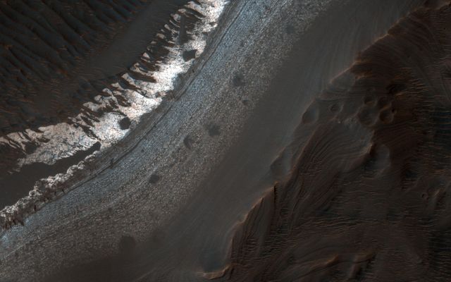
Showcasing Mount Erebus, Antarctica's southernmost active volcano, this aerial view contains prime geographic features, including a volcanic crater and surrounding glacial ice. Ideal for educational materials on geology, volcano activity, remote sensing, and Antarctic research.
Powered by 

Credit Photo
If you would like to credit the Photo, here are some ways you can do so
Text Link
photo Link
<span class="text-link">
<span>
<a target="_blank" href=https://pikwizard.com/photo/aerial-view-of-mount-erebus-antarcticas-active-volcano-overlooking-mcmurdo-research-station/4f045f3d5761d2814e0699cc54b95791/>PikWizard</a>
</span>
</span>
<span class="image-link">
<span
style="margin: 0 0 20px 0; display: inline-block; vertical-align: middle; width: 100%;"
>
<a
target="_blank"
href="https://pikwizard.com/photo/aerial-view-of-mount-erebus-antarcticas-active-volcano-overlooking-mcmurdo-research-station/4f045f3d5761d2814e0699cc54b95791/"
style="text-decoration: none; font-size: 10px; margin: 0;"
>
<img src="https://pikwizard.com/pw/medium/4f045f3d5761d2814e0699cc54b95791.jpg" style="margin: 0; width: 100%;" alt="" />
<p style="font-size: 12px; margin: 0;">PikWizard</p>
</a>
</span>
</span>
CC0 (Creative Commons Zero)
Editorial Use only - Please be aware that images marked as Editorial cannot be used for commercial, promotional, advertorial or endorsement purposes. You should only use Editorial images in connection with events that are newsworthy or of (non commercial) general interest.
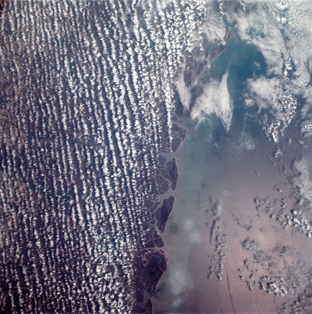
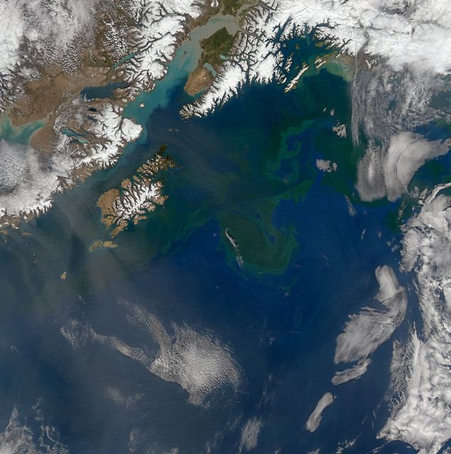
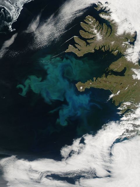
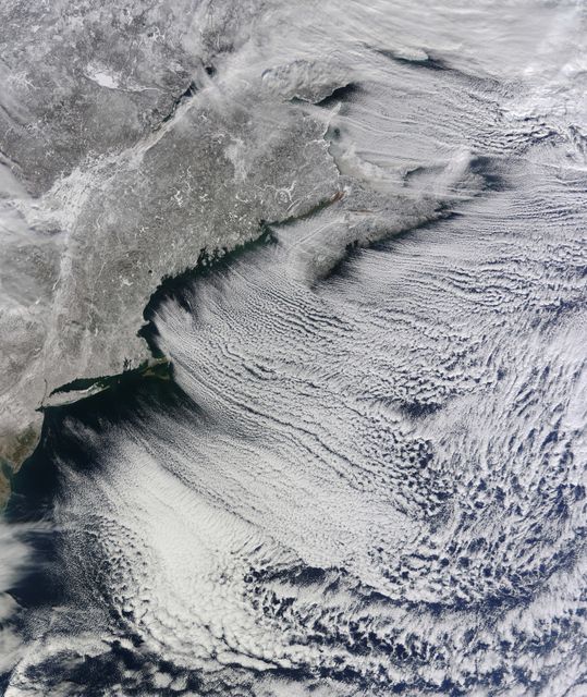
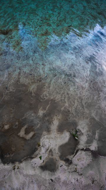
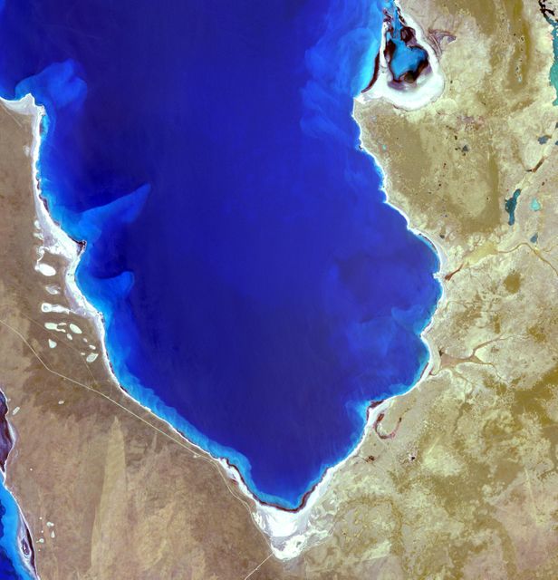
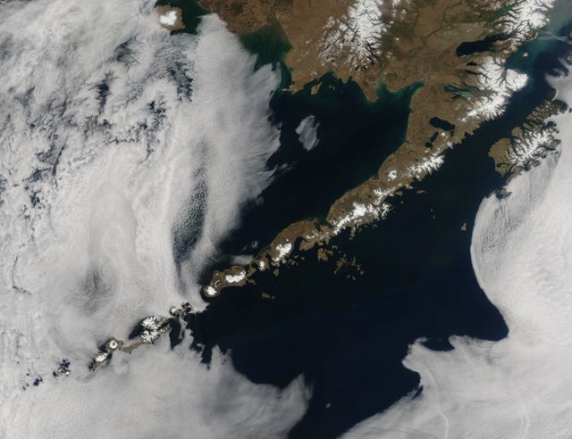
Similar Free Stock Images
Loading...
Premium

Premium
Premium
Premium

Premium
AI


Premium


Premium
AI

Premium
Premium
Premium
Premium
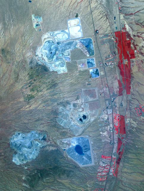
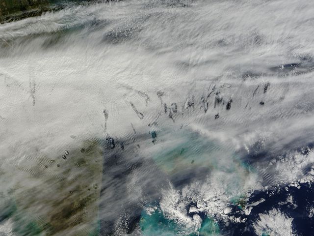
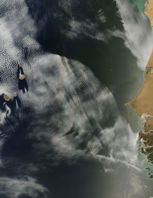


Explore More Free Stock Images