- Home >
- Stock Photos >
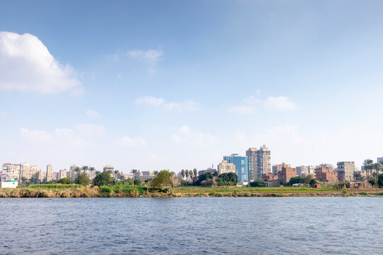
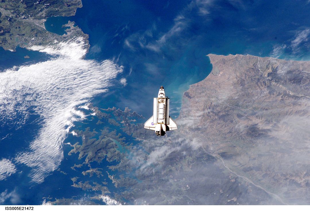
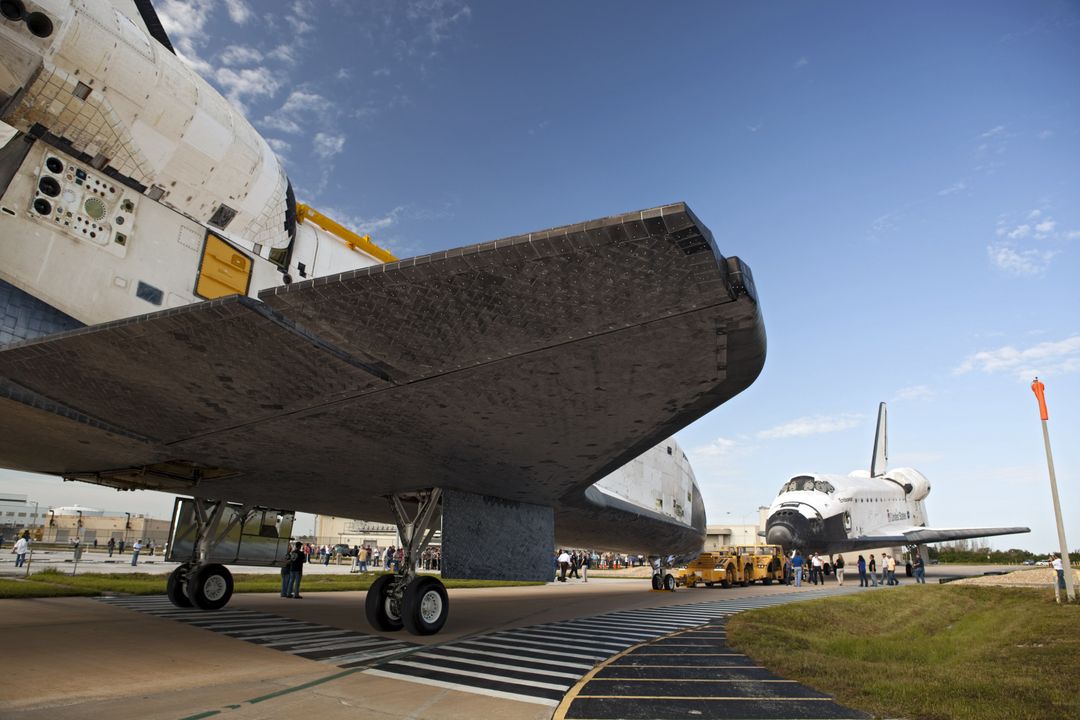
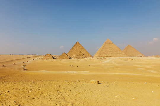
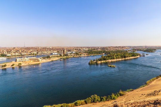
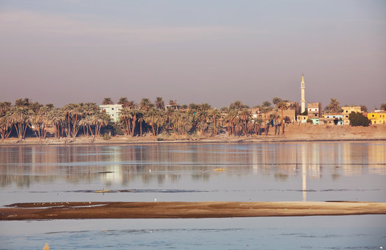
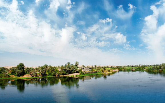
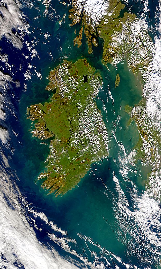
- Aerial View of Nile River Delta and Cairo from Space Shuttle
Aerial View of Nile River Delta and Cairo from Space Shuttle Image

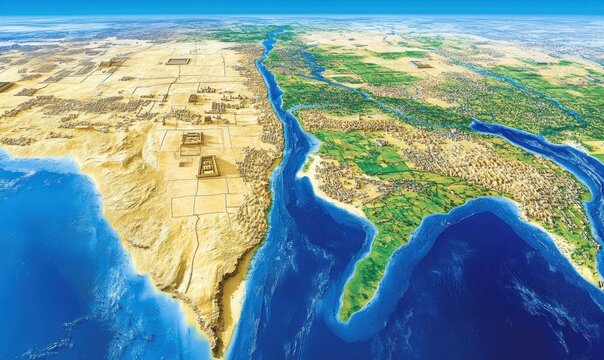
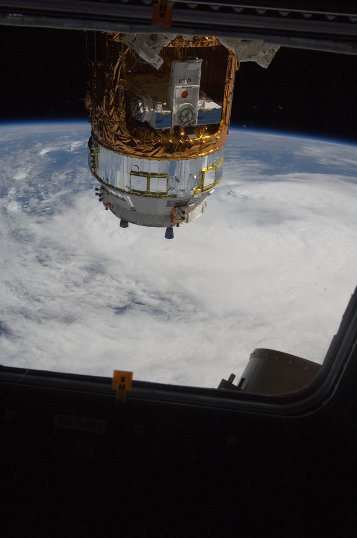
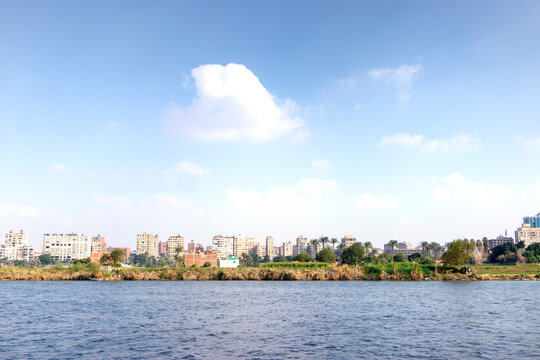
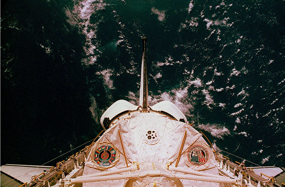
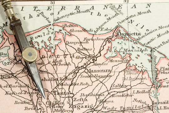
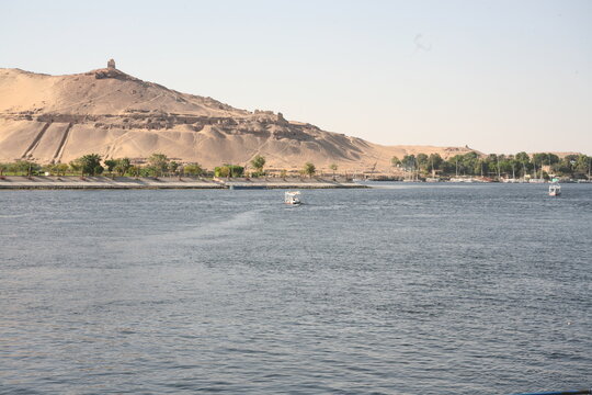
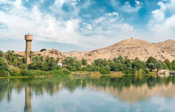
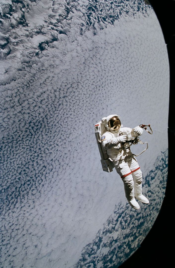
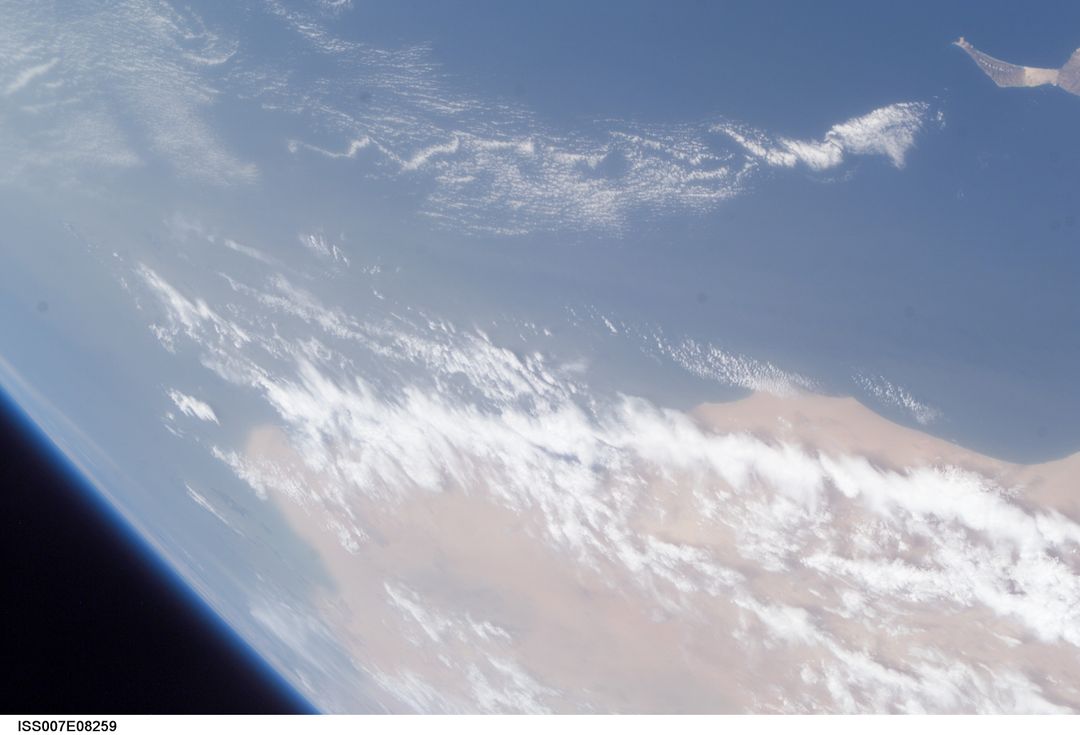
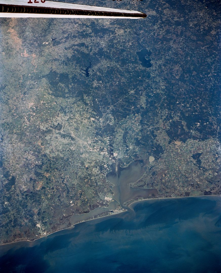
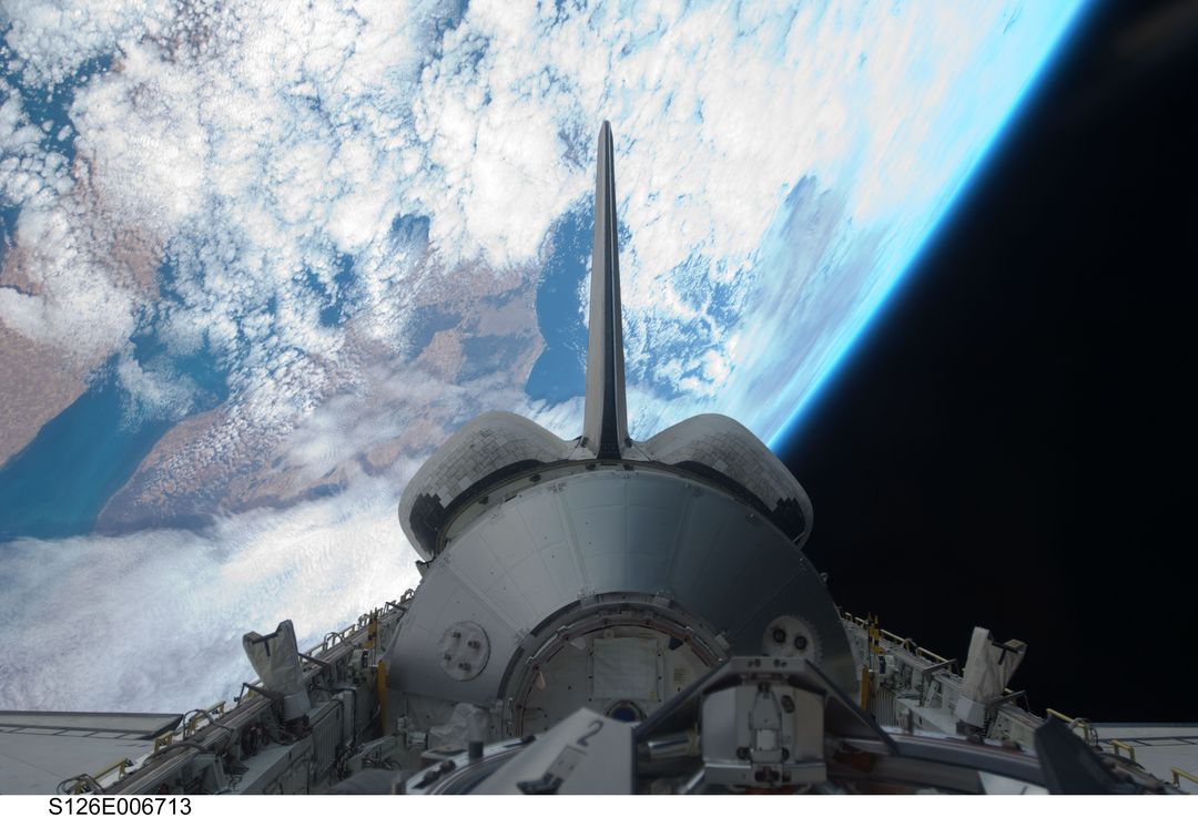
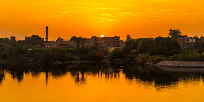
Aerial view of the Nile River Delta in Egypt, showing Cairo at the center. Rich farmlands and densely populated areas are evident. The ancient pyramids at Giza and the Suez Canal are also visible. Ideal for educational content about Egypt, geography, and historical landmarks. Useful in environmental and agricultural topics illustrating the significance of river deltas.
Powered by 


Credit Photo
If you would like to credit the Photo, here are some ways you can do so
Text Link
photo Link
<span class="text-link">
<span>
<a target="_blank" href=https://pikwizard.com/photo/aerial-view-of-nile-river-delta-and-cairo-from-space-shuttle/77b3b573e78c4adc67c50e9a5fc650b4/>PikWizard</a>
</span>
</span>
<span class="image-link">
<span
style="margin: 0 0 20px 0; display: inline-block; vertical-align: middle; width: 100%;"
>
<a
target="_blank"
href="https://pikwizard.com/photo/aerial-view-of-nile-river-delta-and-cairo-from-space-shuttle/77b3b573e78c4adc67c50e9a5fc650b4/"
style="text-decoration: none; font-size: 10px; margin: 0;"
>
<img src="https://pikwizard.com/pw/medium/77b3b573e78c4adc67c50e9a5fc650b4.jpg" style="margin: 0; width: 100%;" alt="" />
<p style="font-size: 12px; margin: 0;">PikWizard</p>
</a>
</span>
</span>
CC0 (Creative Commons Zero)
Free for personal and commercial use.
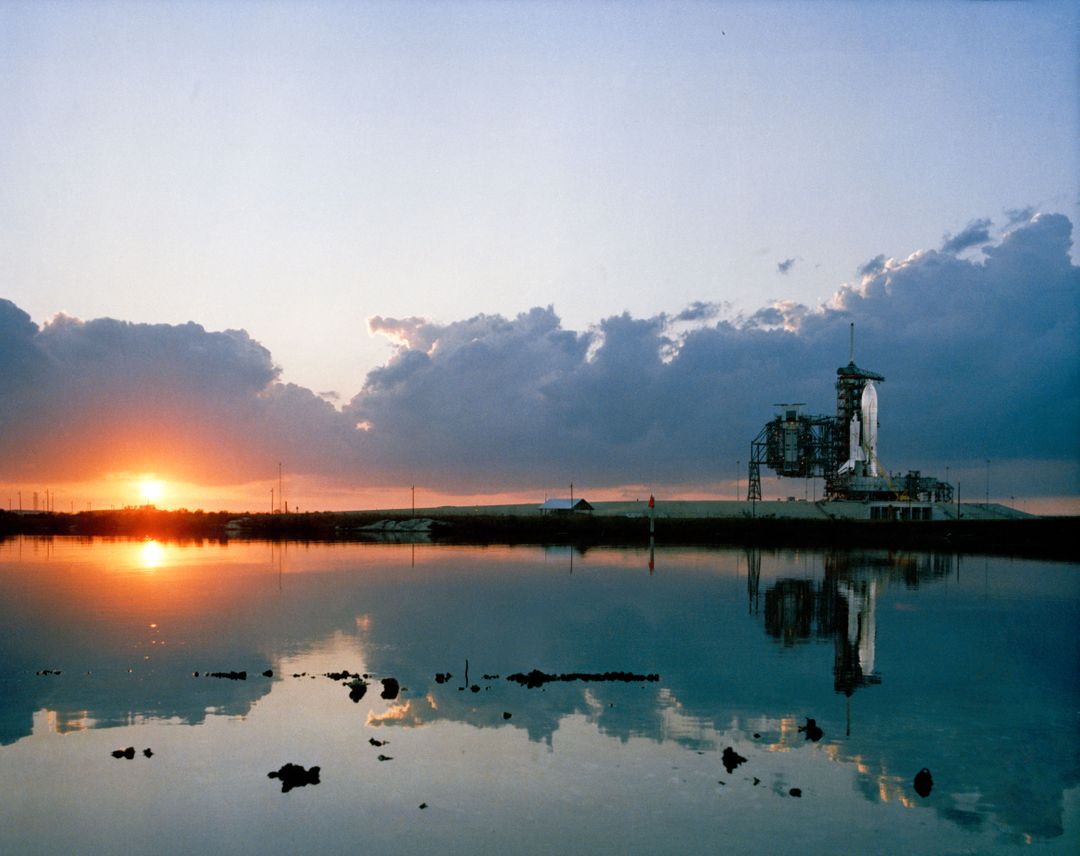
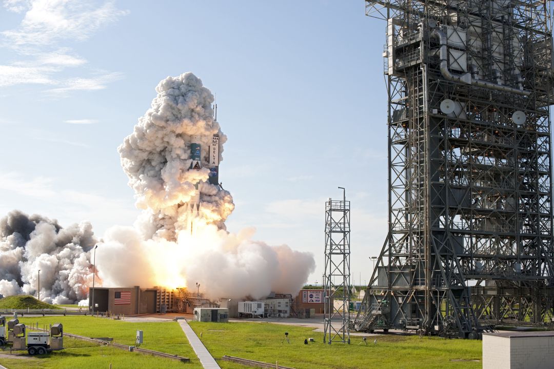
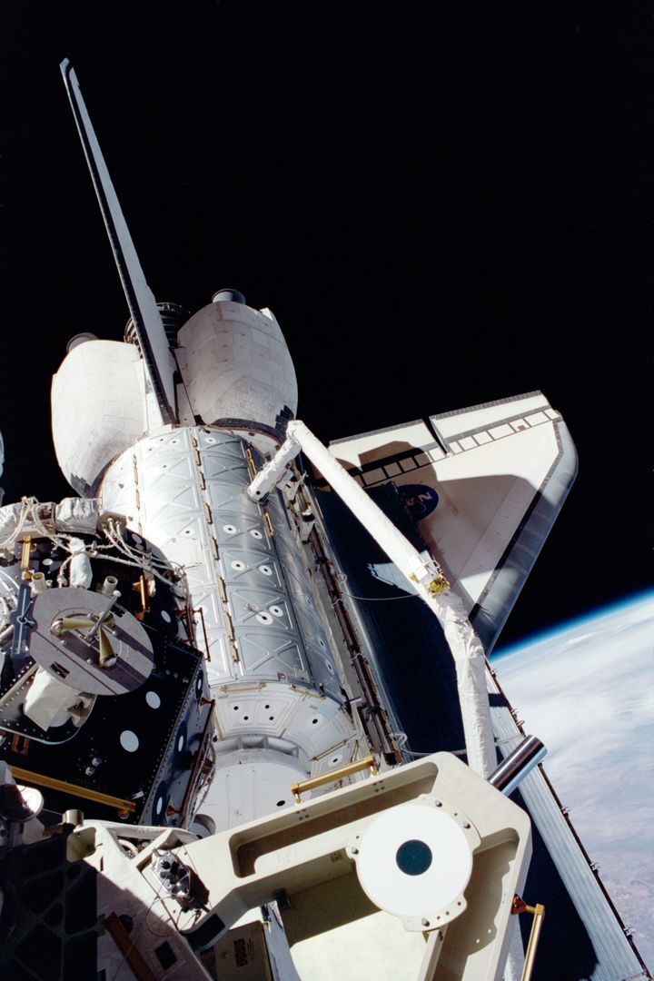
Similar Free Stock Images
Premium

Premium

Premium


Premium


Premium

Premium


Premium


Premium
Premium
Premium

Premium


Premium


Premium


Premium

Premium


Premium


Premium


Premium


Premium


Premium


Premium


Premium


Premium

Premium