- Home >
- Stock Photos >
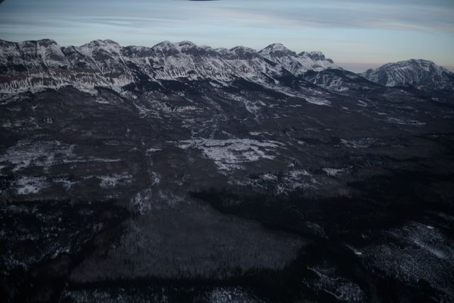
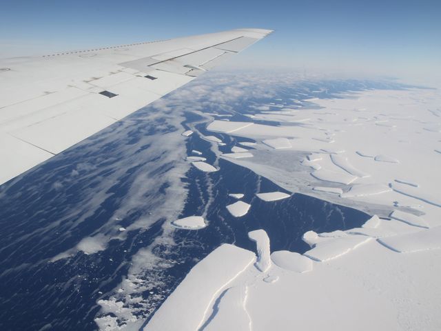
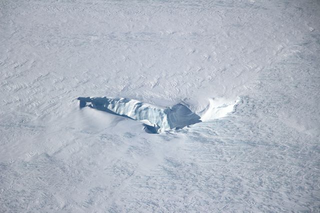
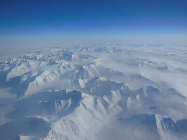
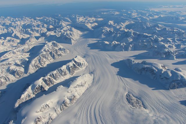
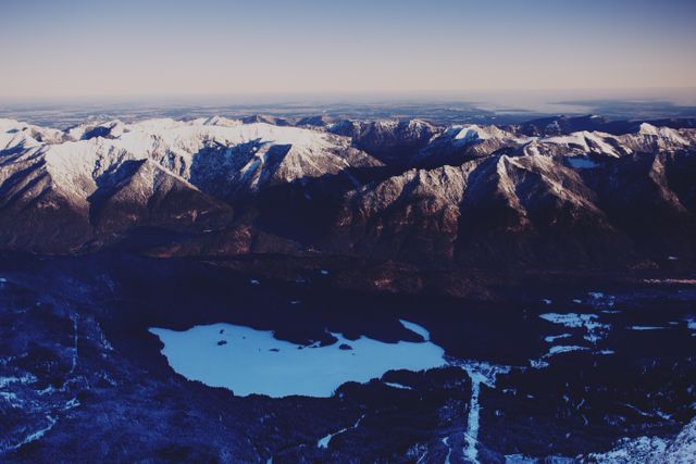
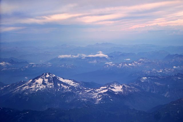
- Aerial View of Pensacola Mountains and Foundation Ice Stream
Aerial View of Pensacola Mountains and Foundation Ice Stream Image
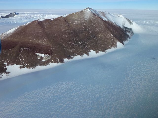
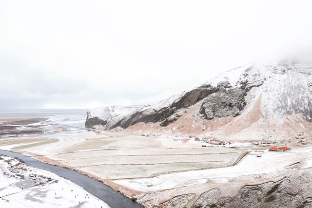
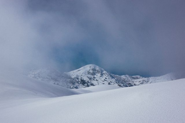
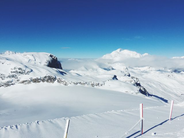
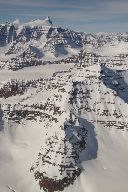
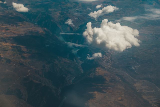
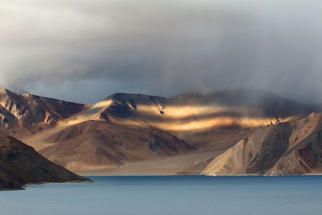
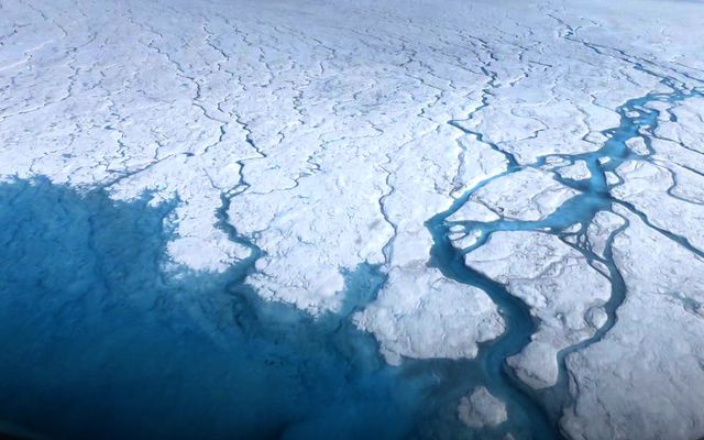
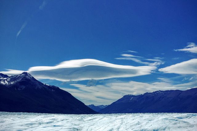
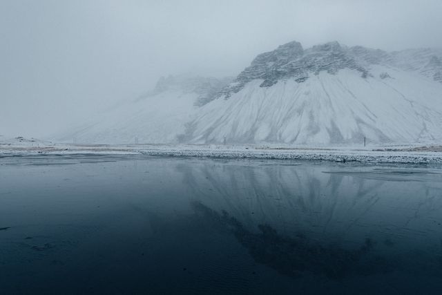
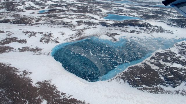
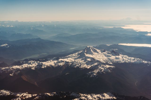
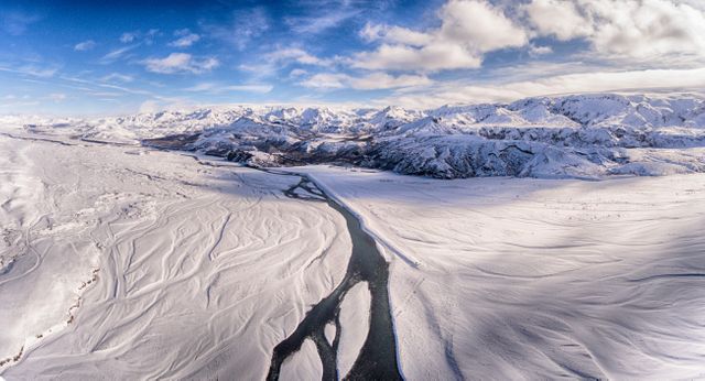
Aerial perspective of Pensacola Mountains near Foundation Ice Stream, captured by NASA's Operation IceBridge on October 28. This photo showcases a majestic, snow-lined mountain ridge surrounded by expansive ice fields. Ideal for use in educational resources about polar regions, climate change studies, or for visually conveying the magnitude of Earth's frigid landscapes.

Credit Photo
If you would like to credit the Photo, here are some ways you can do so
Text Link
photo Link
<span class="text-link">
<span>
<a target="_blank" href=https://pikwizard.com/photo/aerial-view-of-pensacola-mountains-and-foundation-ice-stream/1a5a0355ba622744a7aeb62baed49b46/>PikWizard</a>
</span>
</span>
<span class="image-link">
<span
style="margin: 0 0 20px 0; display: inline-block; vertical-align: middle; width: 100%;"
>
<a
target="_blank"
href="https://pikwizard.com/photo/aerial-view-of-pensacola-mountains-and-foundation-ice-stream/1a5a0355ba622744a7aeb62baed49b46/"
style="text-decoration: none; font-size: 10px; margin: 0;"
>
<img src="https://pikwizard.com/pw/medium/1a5a0355ba622744a7aeb62baed49b46.jpg" style="margin: 0; width: 100%;" alt="" />
<p style="font-size: 12px; margin: 0;">PikWizard</p>
</a>
</span>
</span>
CC0 (Creative Commons Zero)
Free for personal and commercial use.
Similar Free Stock Images