- Home >
- Stock Photos >
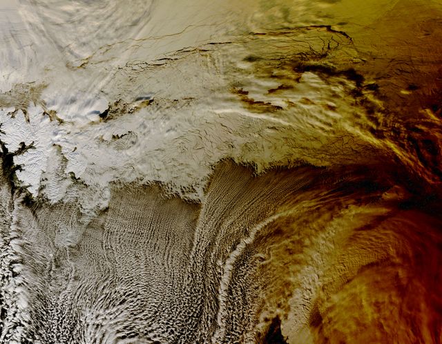
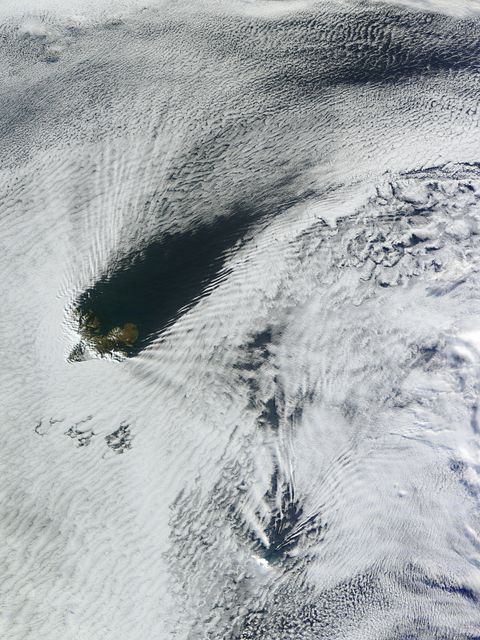
- Aerial View of Ship-Wave Shaped Clouds Near Crozet Islands
Aerial View of Ship-Wave Shaped Clouds Near Crozet Islands Image
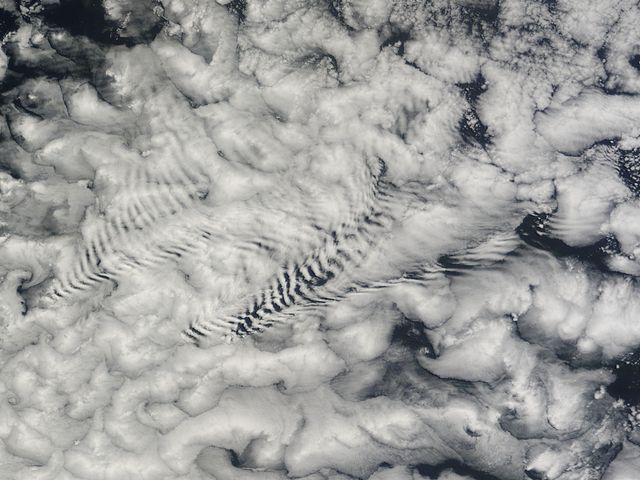
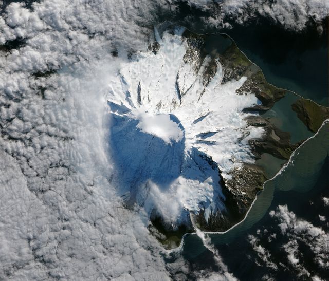
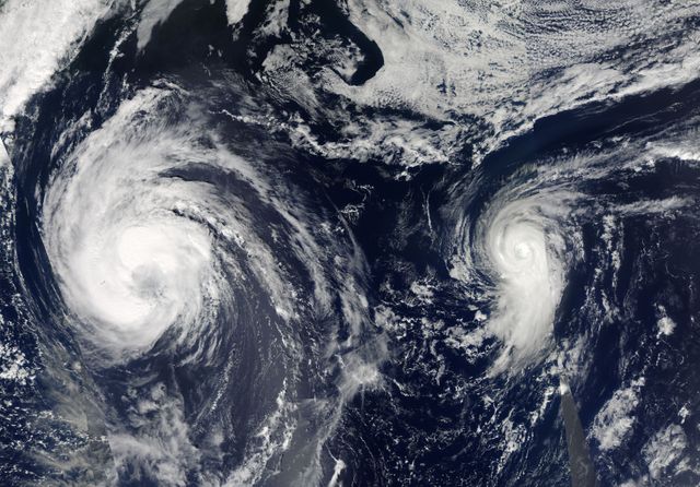
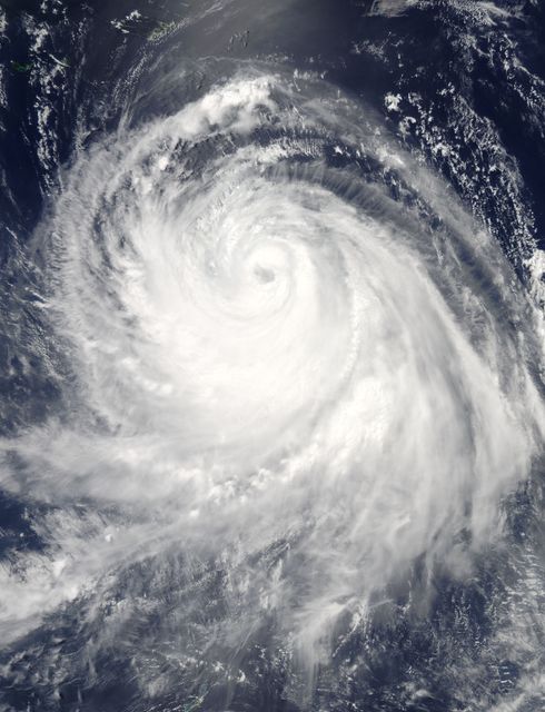
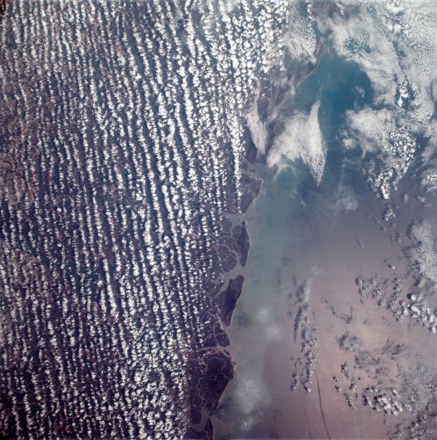
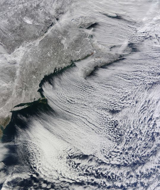
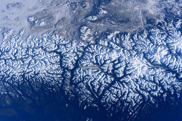
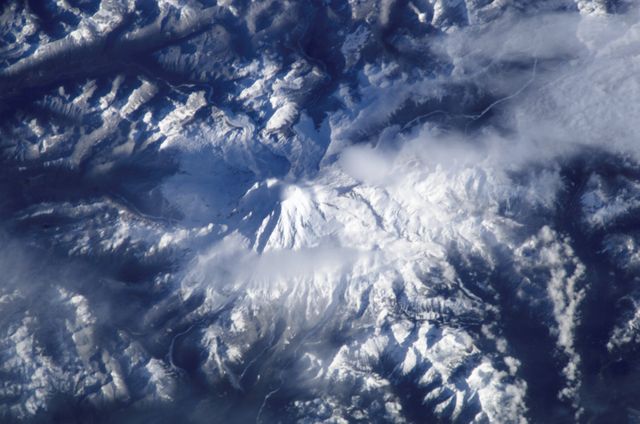
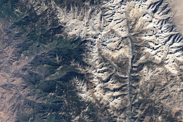
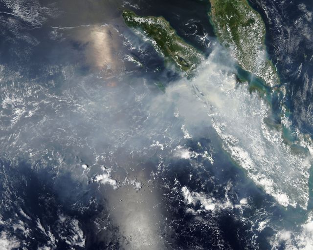
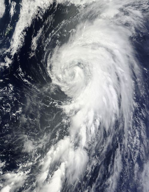
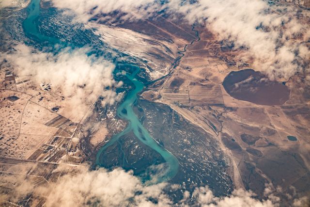
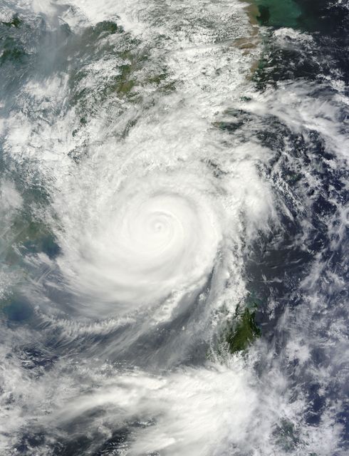
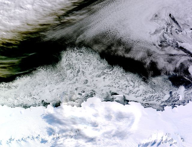
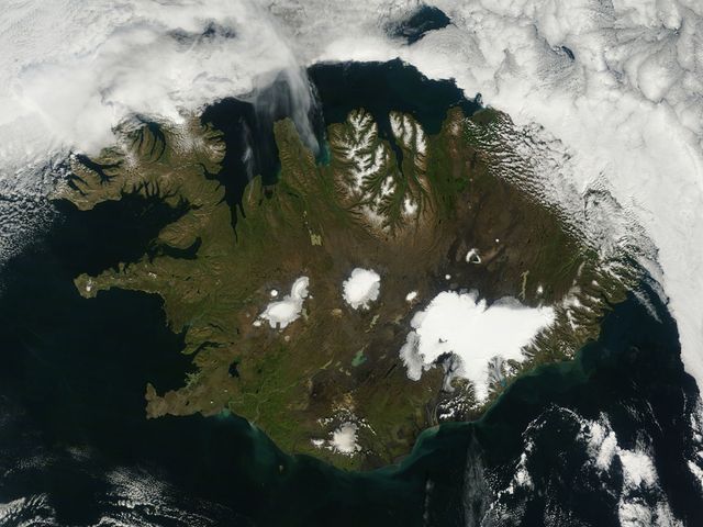
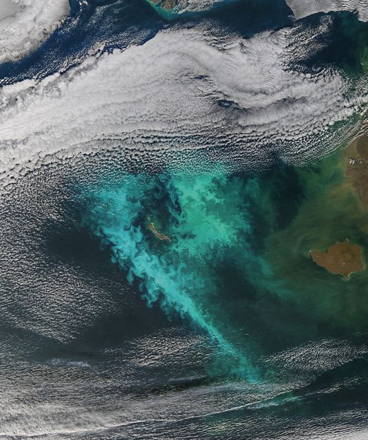
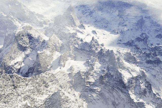
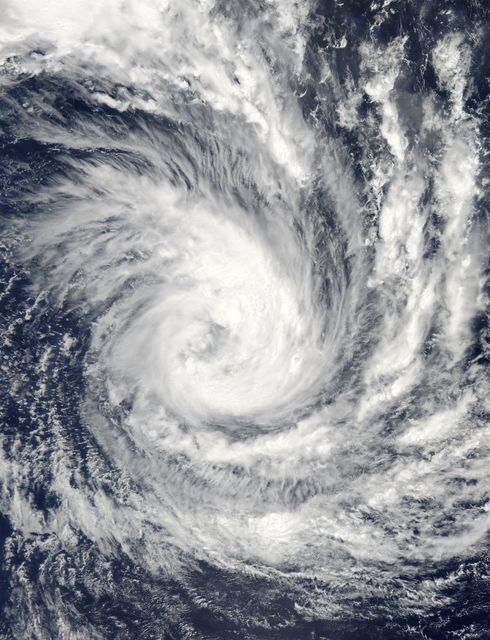
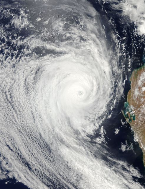
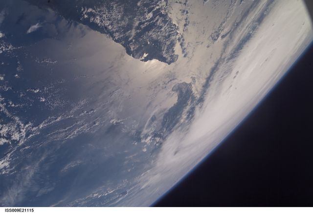
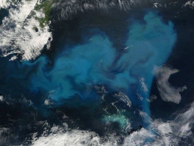
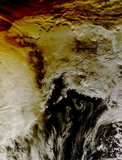
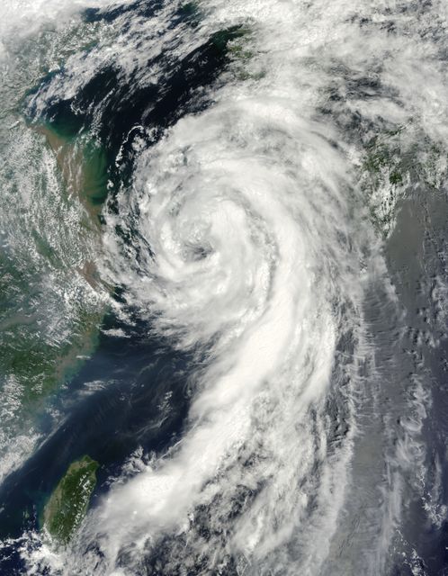
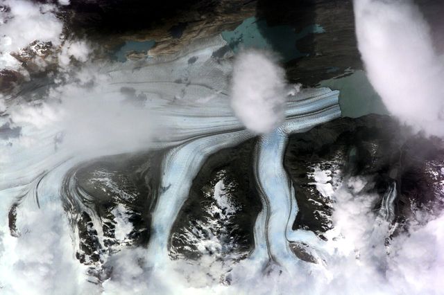
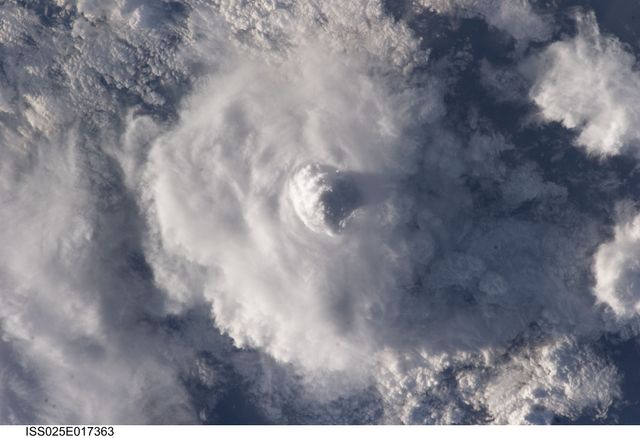
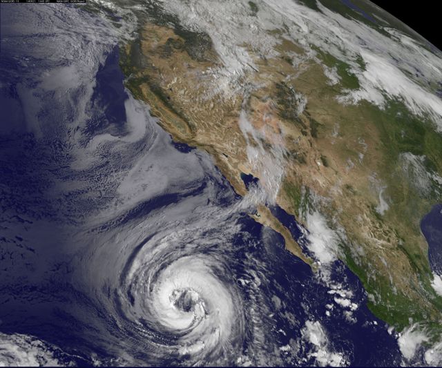
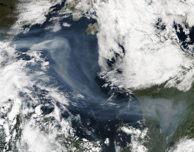
True-color image displays ship-wave shaped clouds formed by air flowing around tall volcanic peaks on the Crozet Islands. NASA’s Terra satellite's capture on November 26, 2014, provides a striking view of this atmospheric phenomenon. Useful for environmental studies, meteorology, climate change awareness, and science education materials.

Credit Photo
If you would like to credit the Photo, here are some ways you can do so
Text Link
photo Link
<span class="text-link">
<span>
<a target="_blank" href=https://pikwizard.com/photo/aerial-view-of-ship-wave-shaped-clouds-near-crozet-islands/20071887a423917dbd9b57ecda832863/>PikWizard</a>
</span>
</span>
<span class="image-link">
<span
style="margin: 0 0 20px 0; display: inline-block; vertical-align: middle; width: 100%;"
>
<a
target="_blank"
href="https://pikwizard.com/photo/aerial-view-of-ship-wave-shaped-clouds-near-crozet-islands/20071887a423917dbd9b57ecda832863/"
style="text-decoration: none; font-size: 10px; margin: 0;"
>
<img src="https://pikwizard.com/pw/medium/20071887a423917dbd9b57ecda832863.jpg" style="margin: 0; width: 100%;" alt="" />
<p style="font-size: 12px; margin: 0;">PikWizard</p>
</a>
</span>
</span>
CC0 (Creative Commons Zero)
Free for personal and commercial use.