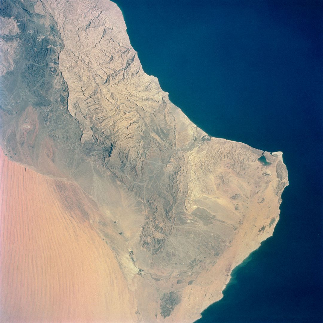
Aerial View of Southeastern Arabian Peninsula and Gulf of Oman from Gemini-4 Image

Detailed aerial photograph of southeastern Arabian Peninsula with Gulf of Oman visible on the right. Showcases vast desert terrain with prominent seif dunes on the left and coastline on the right. Captured by astronauts during the Gemini-4 space mission using modified Hasselblad camera. Ideal for use in educational materials, geography projects, and articles on space exploration and terraforming.
downloads
Credit Photo
If you would like to credit the Photo, here are some ways you can do so
CC0 (Creative Commons Zero)
Free for personal and commercial use.


