
- Home >
- Stock Photos >
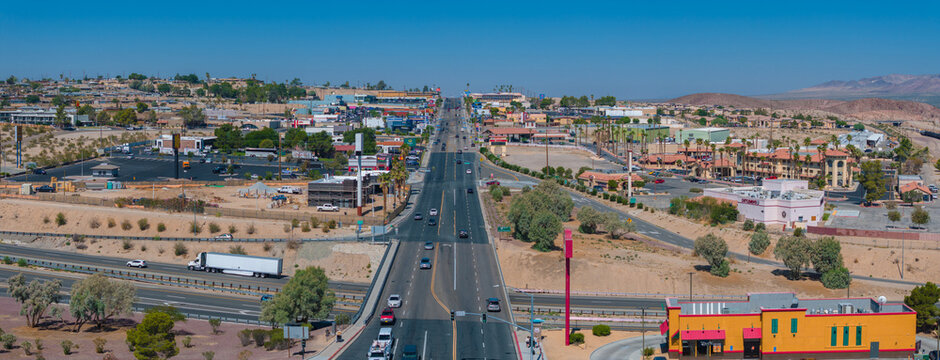
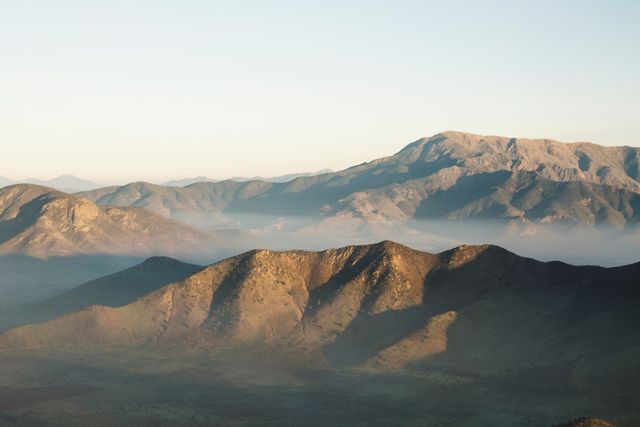
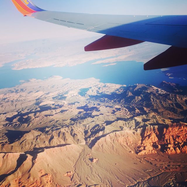
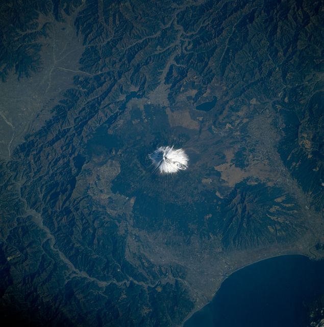
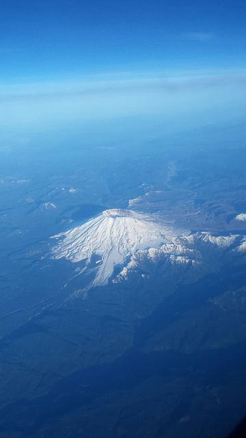
- Aerial View of Southwestern US including Las Vegas on June 27, 1965
Aerial View of Southwestern US including Las Vegas on June 27, 1965 Image
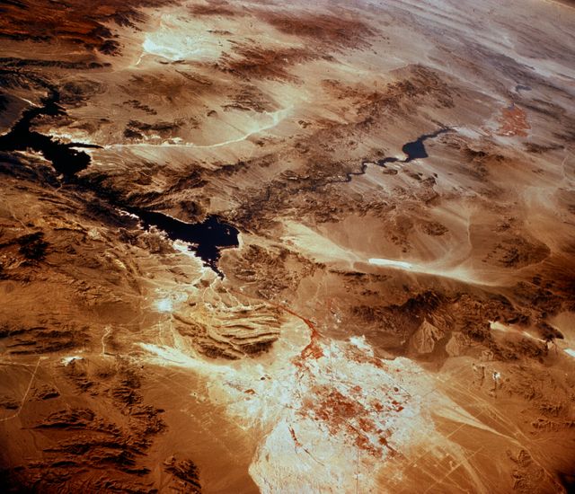
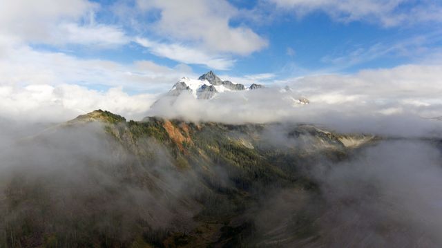
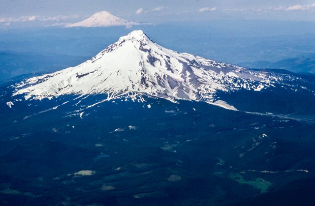
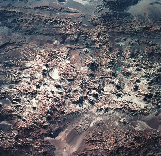
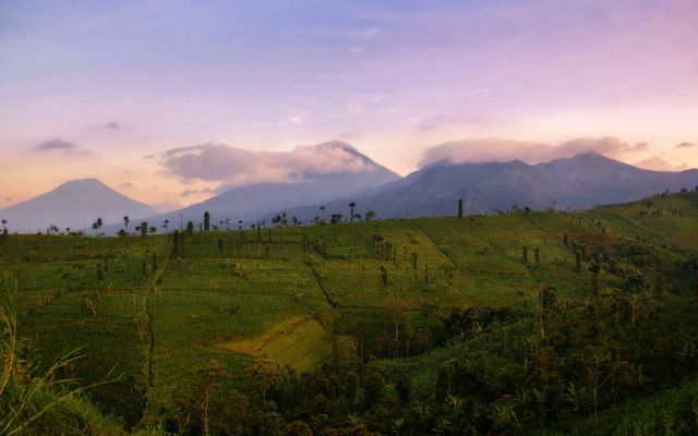
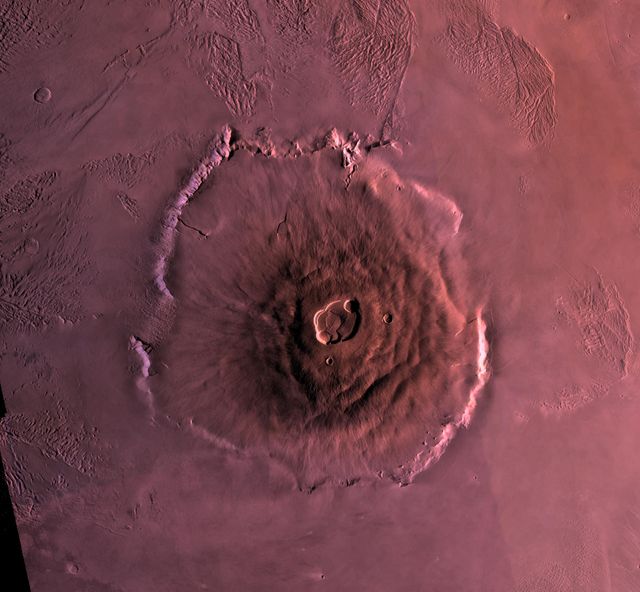
This aerial image shows the Southwestern United States including Las Vegas taken from a high-altitude aircraft on June 27, 1965. The desert landscape is distinctly visible along with the contrasting urban area of Las Vegas and surrounding terrain features. This visual is ideal for historical, educational, and geographical references, highlighting the morphology of arid land and the spread of urbanization. It can be used in articles or presentations discussing geographical features, historical land use, or urban development in arid regions.
Powered by 

Credit Photo
If you would like to credit the Photo, here are some ways you can do so
Text Link
photo Link
<span class="text-link">
<span>
<a target="_blank" href=https://pikwizard.com/photo/aerial-view-of-southwestern-us-including-las-vegas-on-june-27-1965/15243e1f224fd9bb0b7499d914640b3f/>PikWizard</a>
</span>
</span>
<span class="image-link">
<span
style="margin: 0 0 20px 0; display: inline-block; vertical-align: middle; width: 100%;"
>
<a
target="_blank"
href="https://pikwizard.com/photo/aerial-view-of-southwestern-us-including-las-vegas-on-june-27-1965/15243e1f224fd9bb0b7499d914640b3f/"
style="text-decoration: none; font-size: 10px; margin: 0;"
>
<img src="https://pikwizard.com/pw/medium/15243e1f224fd9bb0b7499d914640b3f.jpg" style="margin: 0; width: 100%;" alt="" />
<p style="font-size: 12px; margin: 0;">PikWizard</p>
</a>
</span>
</span>
CC0 (Creative Commons Zero)
Free for personal and commercial use.
Similar Free Stock Images
Loading...


AI

AI

AI

AI

AI

AI

AI

AI

AI

AI
AI


AI


AI
AI
AI

AI

AI

AI

AI

AI

AI

AI


AI
AI

AI

AI

AI

AI

AI

AI

AI

AI

AI

AI

AI

AI

AI

AI


AI

AI
AI
AI

AI

AI

AI

AI

AI

AI


AI

AI


Explore More Free Stock Images