
- Home >
- Stock Photos >
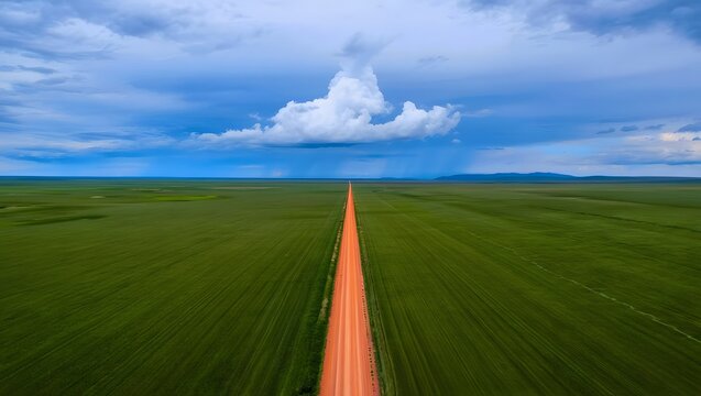
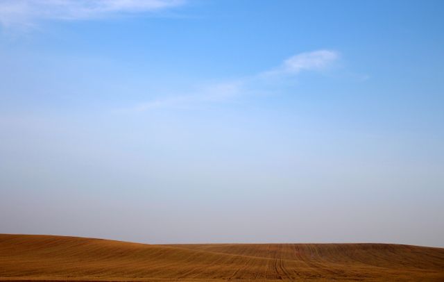
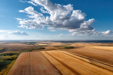
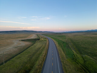
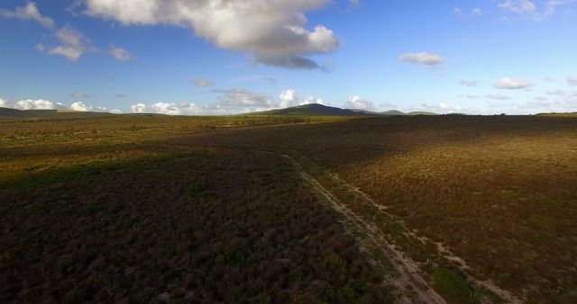
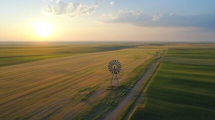
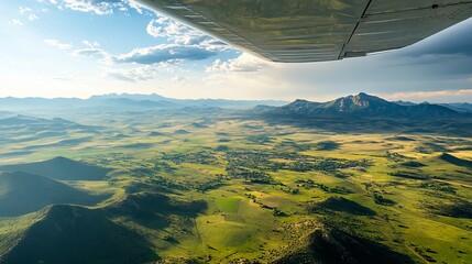
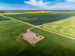
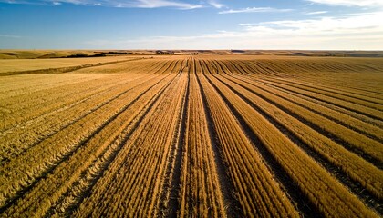
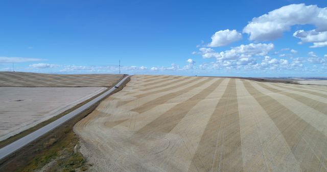
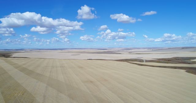
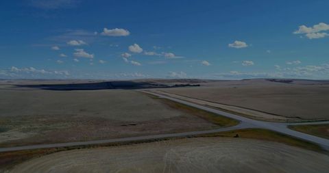
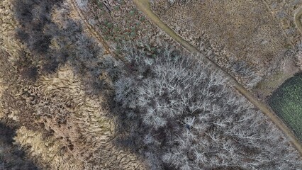
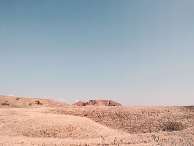
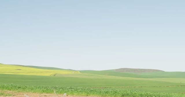
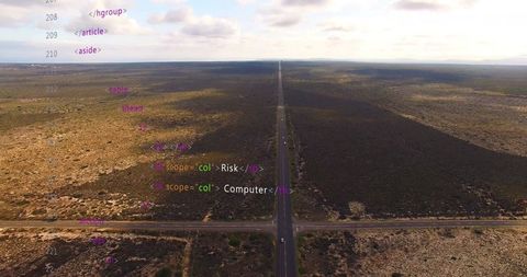
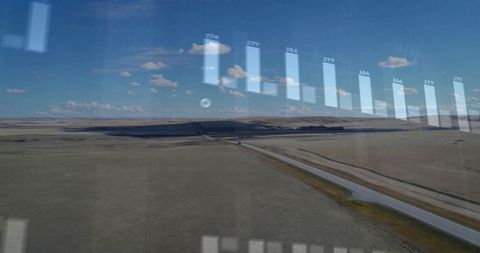
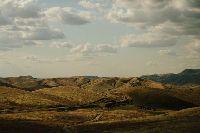
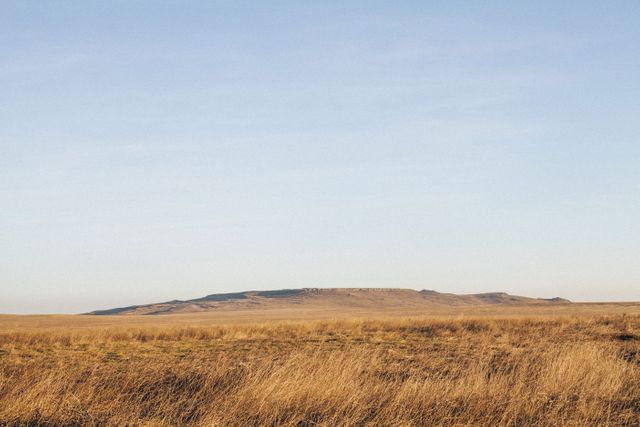
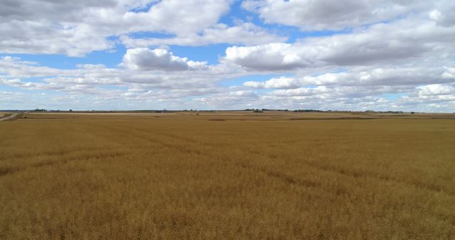
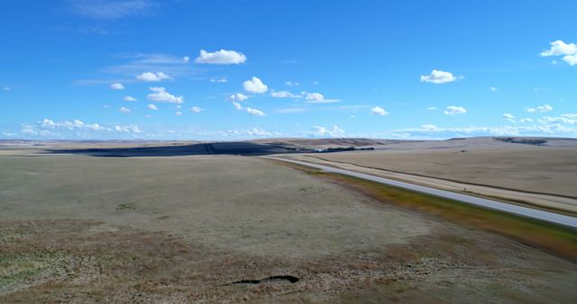
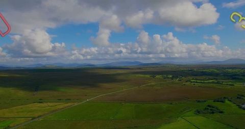
- Aerial View of T-Junction on Rural Prairie Farmland
Aerial View of T-Junction on Rural Prairie Farmland Image
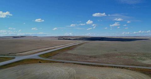
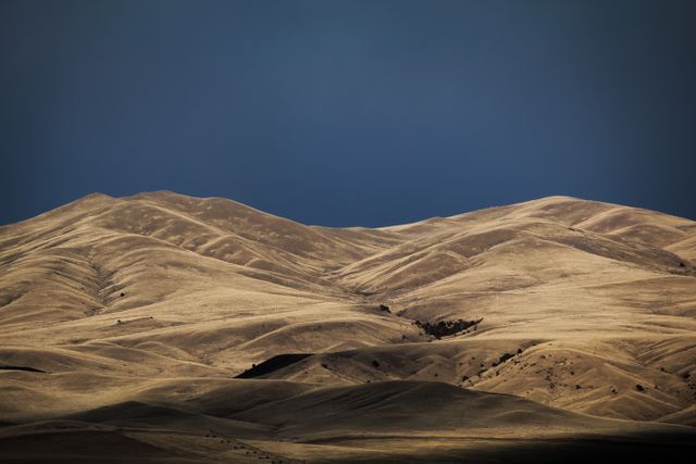
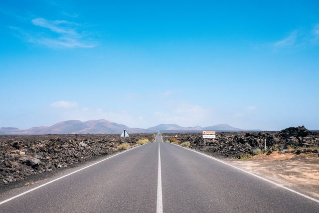
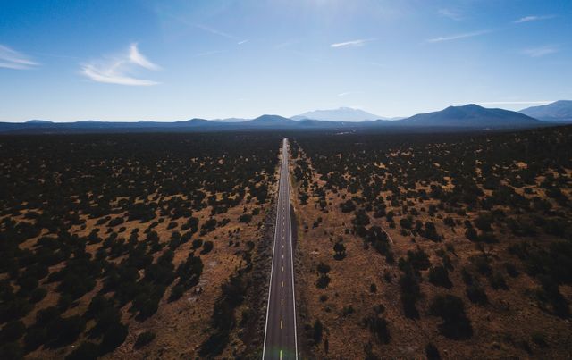
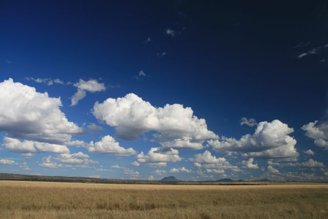
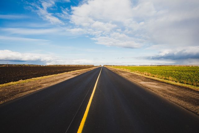
Depicts intersection of two paved roads forming a T-junction in an open farmland with expansive grasslands and clear sky. Useful for topics on rural infrastructure, transportation planning, and agrarian landscapes, can illustrate open expanses typical in farming areas and vast clearities seen in countryside environments.
Powered by 


downloads
Tags:
More
Credit Photo
If you would like to credit the Photo, here are some ways you can do so
Text Link
photo Link
<span class="text-link">
<span>
<a target="_blank" href=https://pikwizard.com/photo/aerial-view-of-t-junction-on-rural-prairie-farmland/3e3073270e8869dee647a2538f5a053b/>PikWizard</a>
</span>
</span>
<span class="image-link">
<span
style="margin: 0 0 20px 0; display: inline-block; vertical-align: middle; width: 100%;"
>
<a
target="_blank"
href="https://pikwizard.com/photo/aerial-view-of-t-junction-on-rural-prairie-farmland/3e3073270e8869dee647a2538f5a053b/"
style="text-decoration: none; font-size: 10px; margin: 0;"
>
<img src="https://pikwizard.com/pw/medium/3e3073270e8869dee647a2538f5a053b.jpg" style="margin: 0; width: 100%;" alt="" />
<p style="font-size: 12px; margin: 0;">PikWizard</p>
</a>
</span>
</span>
Free (free of charge)
Free for personal and commercial use.
Author: Awesome Content
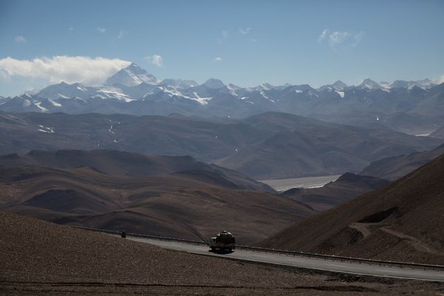
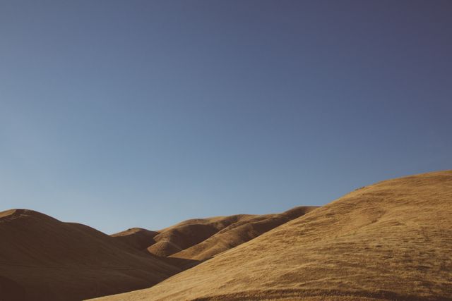
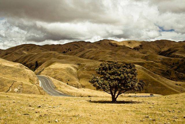
Similar Free Stock Images
Loading...


Premium


Premium


Premium
Premium


Premium
Premium

Premium


Premium
Premium

Premium
Premium


Premium
Premium

Premium


Premium


Premium

Premium
Premium
Premium
Premium
Premium


Premium

Premium


Premium
AI
Premium
Explore More Free Stock Images