- Home >
- Stock Photos >
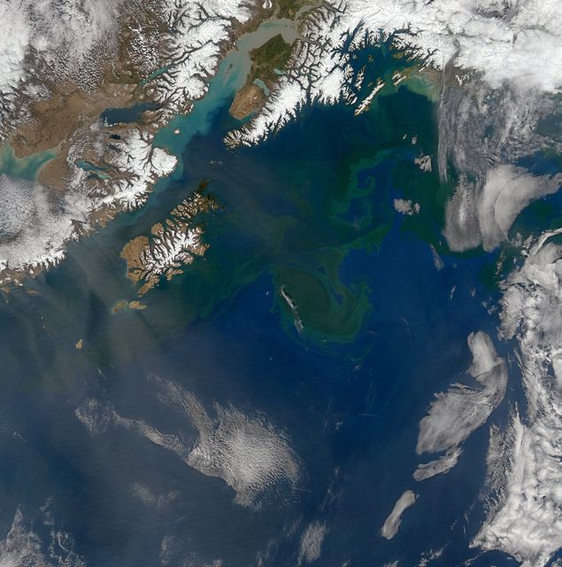
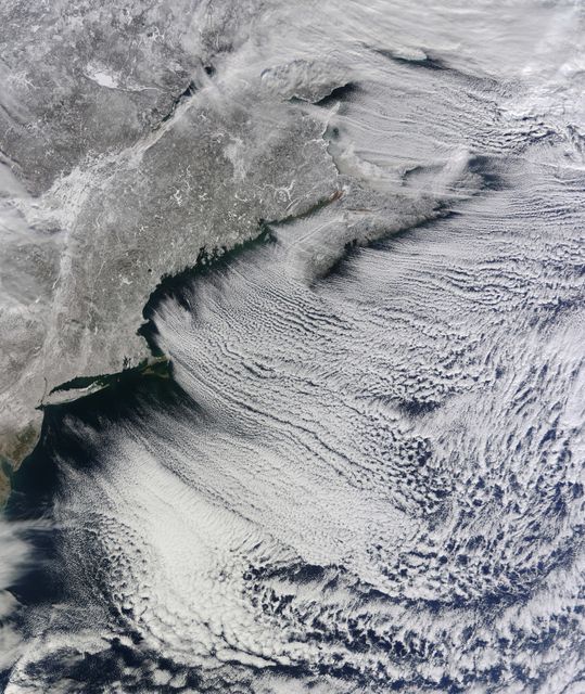
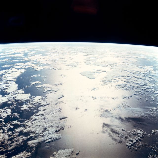
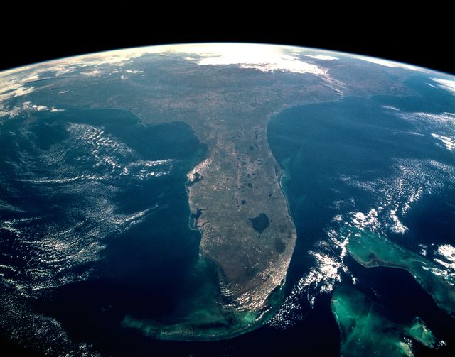
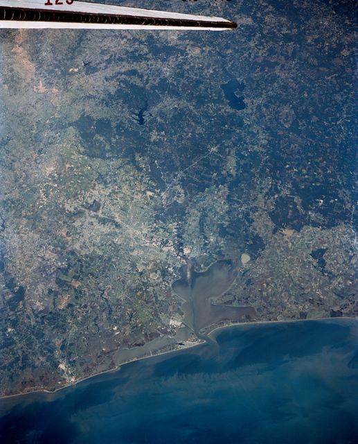
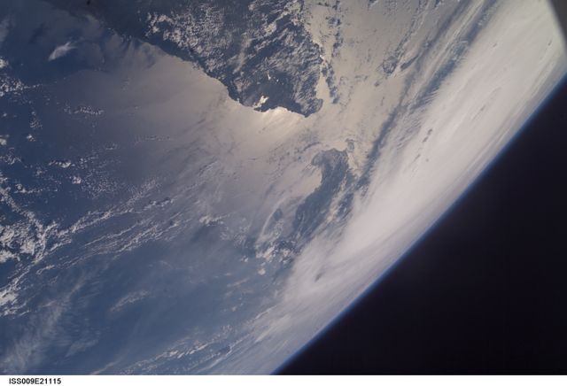
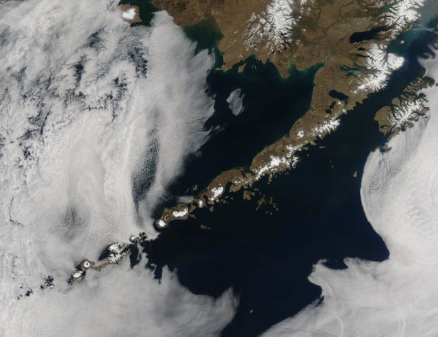
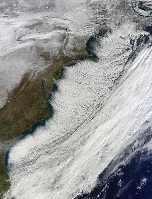
- Aerial View of United States East Coast with Jet Contrails, April 1968
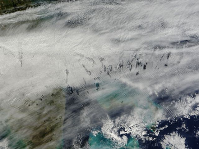
Aerial View of United States East Coast with Jet Contrails, April 1968 Image
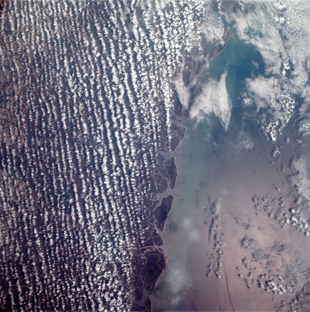
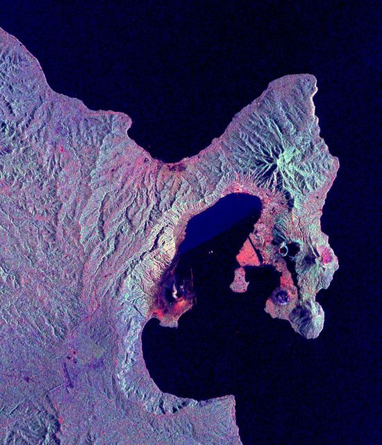
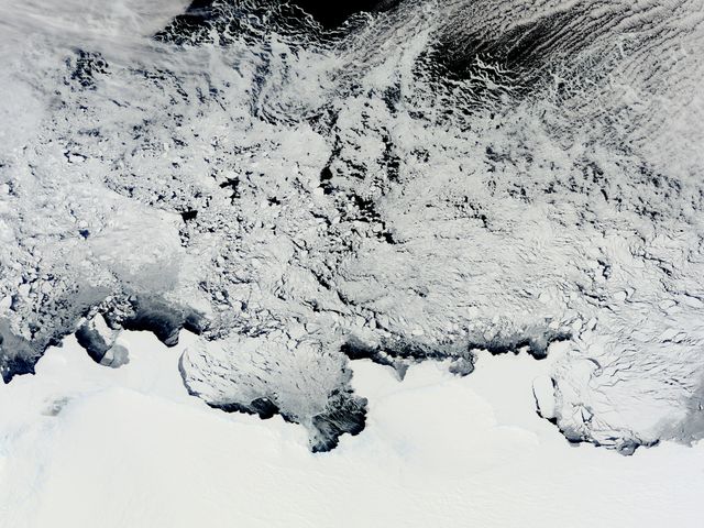
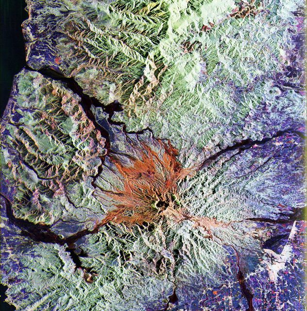
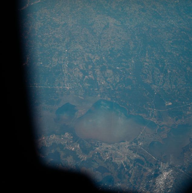
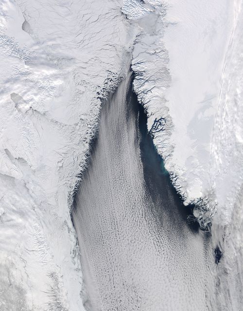
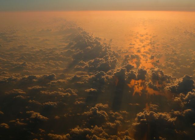
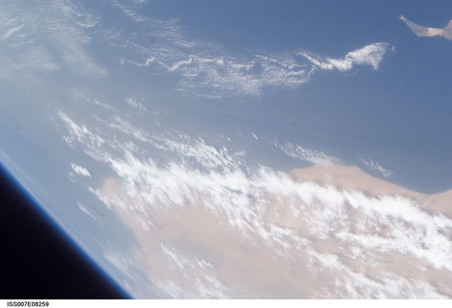
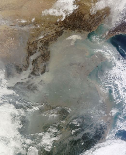
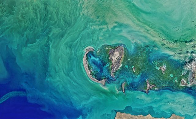
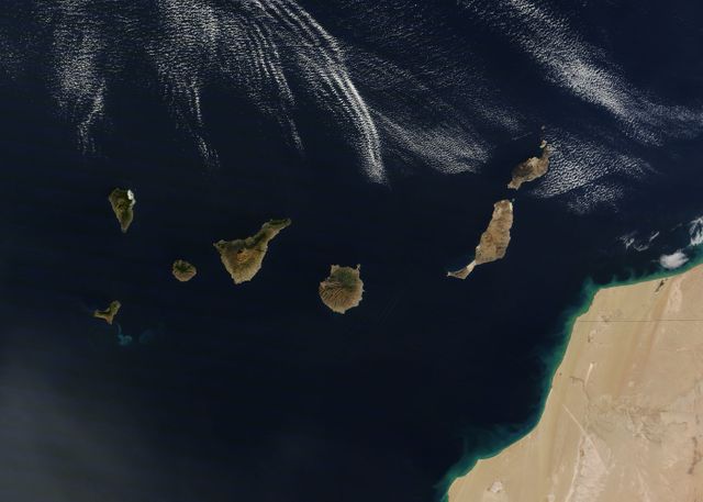
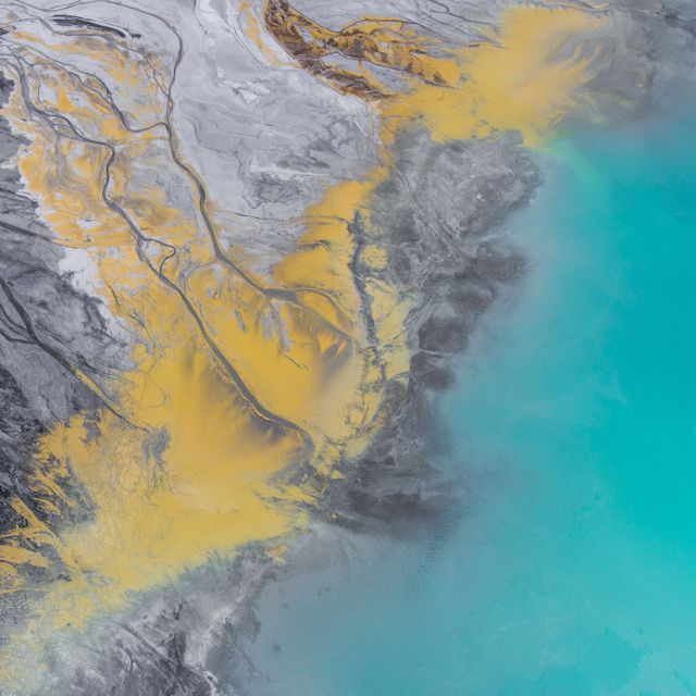
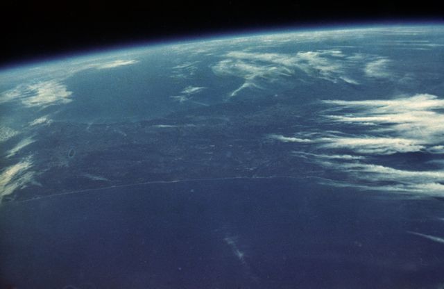
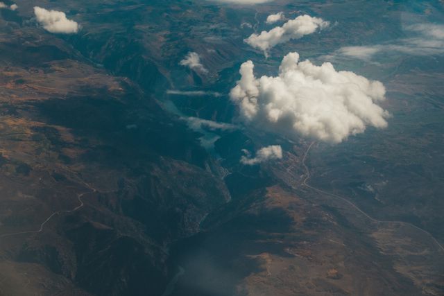
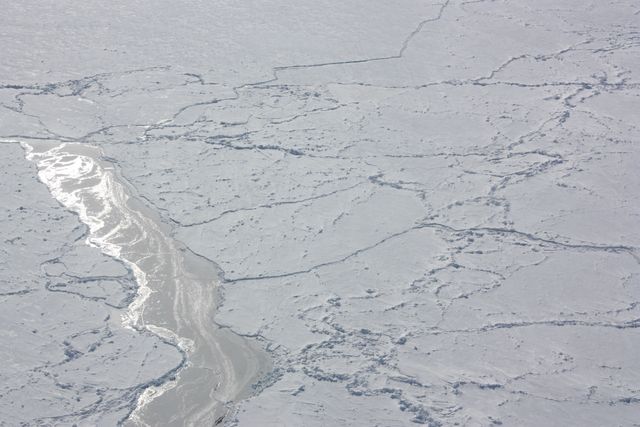
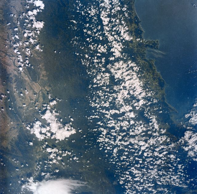
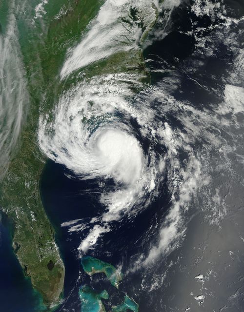
This historical image taken from NASA's unmanned Apollo 6 space mission on April 4, 1968, shows the east coast of the United States. The photograph captures geographic details from Savannah to Brunswick, Georgia, along with numerous jet aircraft contrails over the Atlantic Ocean. This image features high resolution capturing under Eastman Kodak Ektachrome film, useful for oceanographic studies, geographic references, historical documentation, educational purposes or aerospace explorations.
Powered by  - Get 15% off with code: PIKWIZARD15


Credit Photo
If you would like to credit the Photo, here are some ways you can do so
Text Link
photo Link
<span class="text-link">
<span>
<a target="_blank" href=https://pikwizard.com/photo/aerial-view-of-united-states-east-coast-with-jet-contrails-april-1968/6338b96ddfd0fb457ca8c7a6e08d2331/>PikWizard</a>
</span>
</span>
<span class="image-link">
<span
style="margin: 0 0 20px 0; display: inline-block; vertical-align: middle; width: 100%;"
>
<a
target="_blank"
href="https://pikwizard.com/photo/aerial-view-of-united-states-east-coast-with-jet-contrails-april-1968/6338b96ddfd0fb457ca8c7a6e08d2331/"
style="text-decoration: none; font-size: 10px; margin: 0;"
>
<img src="https://pikwizard.com/pw/medium/6338b96ddfd0fb457ca8c7a6e08d2331.jpg" style="margin: 0; width: 100%;" alt="" />
<p style="font-size: 12px; margin: 0;">PikWizard</p>
</a>
</span>
</span>
CC0 (Creative Commons Zero)
Free for personal and commercial use.
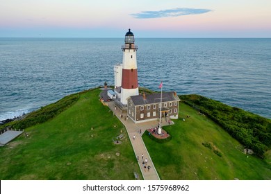
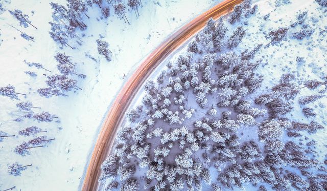
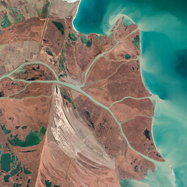
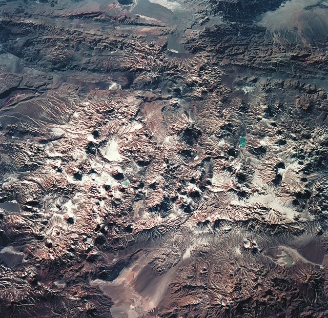
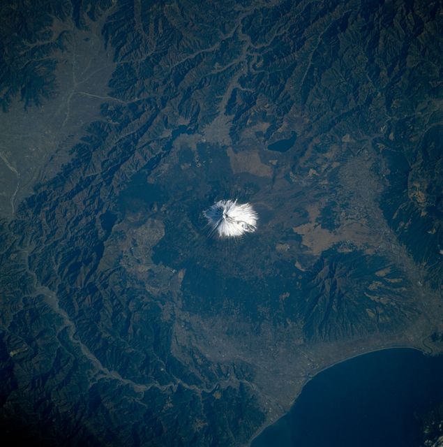
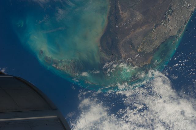
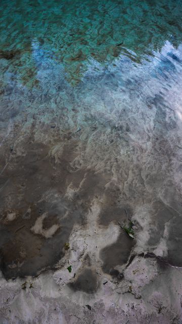
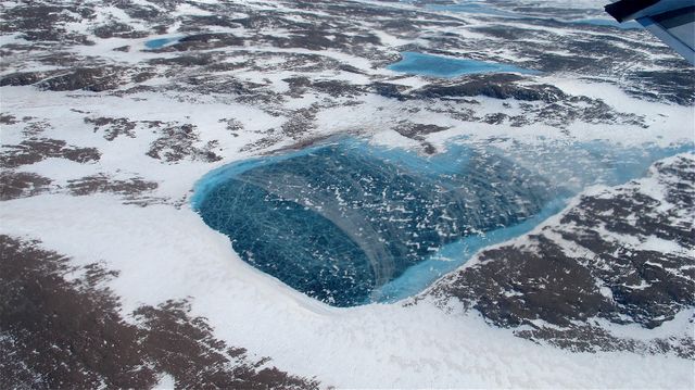
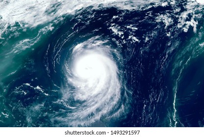
Similar Free Stock Images
Loading...
Premium
Premium

Premium

Premium

Premium

Premium

Premium

Premium

Premium

Premium


Premium

Premium

Premium
Premium

Premium

Premium

Premium

Premium
Premium
Premium

Premium
Premium

Premium

Premium

Premium