- Home >
- Stock Photos >
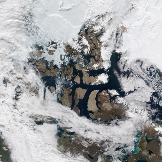
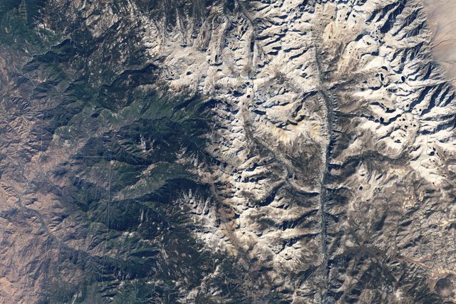
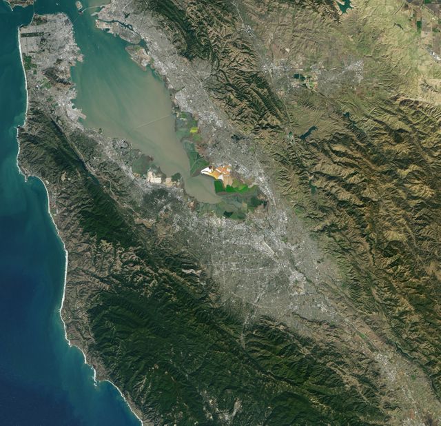
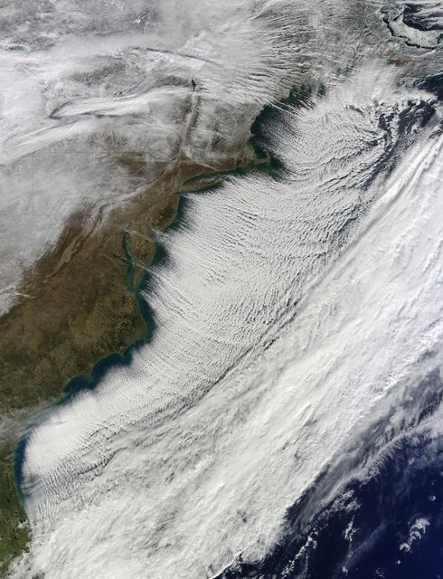
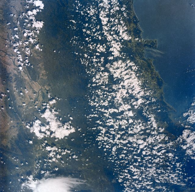
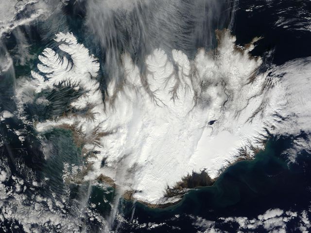
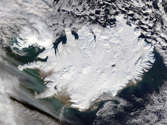
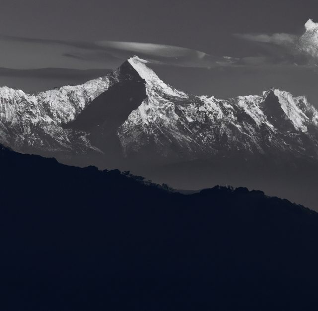
- Aerial View of Wintery Montreal Showing Rivers and Landmarks, 1994
Aerial View of Wintery Montreal Showing Rivers and Landmarks, 1994 Image
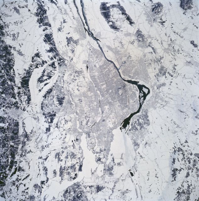
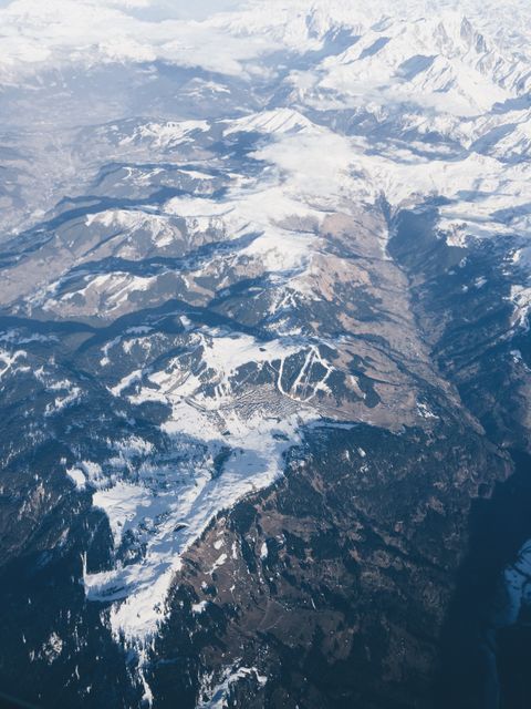
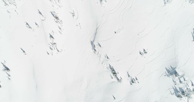
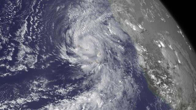
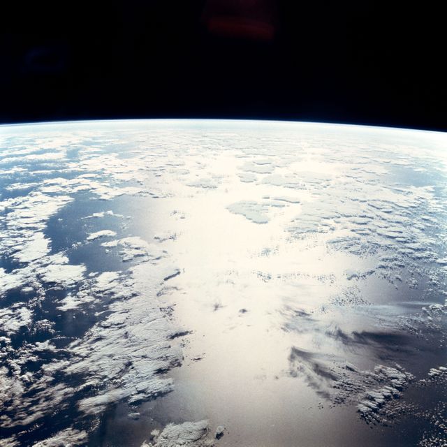
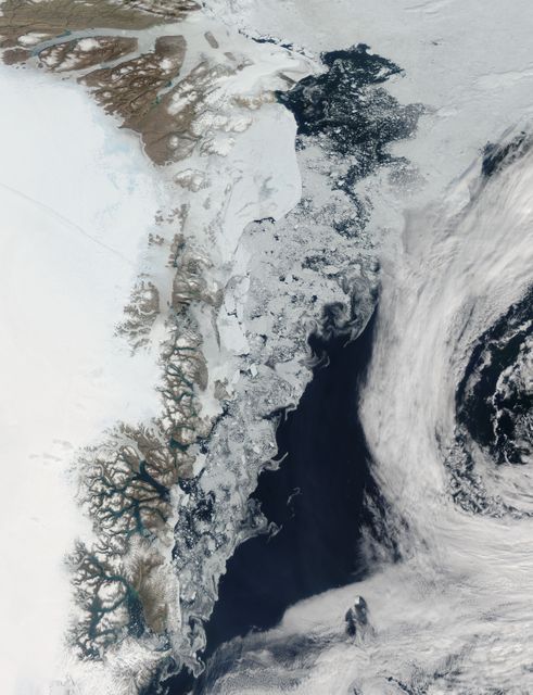
This satellite image captures an aerial view of the city of Montreal during winter on February 3-11, 1994. Major features such as the St. Lawrence and Ottawa Rivers, Mount Royal Park, Mirabel and Dorval airports, and the city's street and highway patterns stand out in this snow-covered scene. This image is useful for educational purposes, historical studies, geography visuals, and urban planning analysis.
Powered by  - Get 15% off with code: PIKWIZARD15


Credit Photo
If you would like to credit the Photo, here are some ways you can do so
Text Link
photo Link
<span class="text-link">
<span>
<a target="_blank" href=https://pikwizard.com/photo/aerial-view-of-wintery-montreal-showing-rivers-and-landmarks-1994/0d481aeda9af31e96883fb9dd010fb2e/>PikWizard</a>
</span>
</span>
<span class="image-link">
<span
style="margin: 0 0 20px 0; display: inline-block; vertical-align: middle; width: 100%;"
>
<a
target="_blank"
href="https://pikwizard.com/photo/aerial-view-of-wintery-montreal-showing-rivers-and-landmarks-1994/0d481aeda9af31e96883fb9dd010fb2e/"
style="text-decoration: none; font-size: 10px; margin: 0;"
>
<img src="https://pikwizard.com/pw/medium/0d481aeda9af31e96883fb9dd010fb2e.jpg" style="margin: 0; width: 100%;" alt="" />
<p style="font-size: 12px; margin: 0;">PikWizard</p>
</a>
</span>
</span>
CC0 (Creative Commons Zero)
Free for personal and commercial use.
Similar Free Stock Images
Premium

Premium

Premium


Premium

Premium


Premium


Premium

Premium


Premium

Premium


Premium

Premium


Premium


Premium


Premium

Premium

Premium


Premium


Premium

Premium

Premium

Premium

Premium

Premium


Premium