
- Home >
- Stock Photos >
- Aerial View Overlaying Data on Forest Road Overgrowth
Aerial View Overlaying Data on Forest Road Overgrowth Image
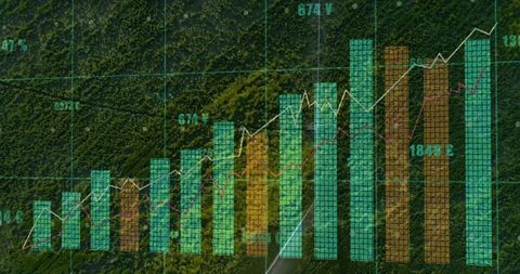
Visualization illustrating environmental statistics via charts on forest area. Ideal for presentations on data science, environmental research, geographical studies, and integrating technology with nature protection. This composition can serve educational publications about forest management and smart environmental solutions.
Powered by  - Get 15% off with code: PIKWIZARD15


0
downloads
downloads
Tags:
More
Credit Photo
If you would like to credit the Photo, here are some ways you can do so
Text Link
photo Link
<span class="text-link">
<span>
<a target="_blank" href=https://pikwizard.com/photo/aerial-view-overlaying-data-on-forest-road-overgrowth/ebb5930f56af3920574aacc874669ab2/>PikWizard</a>
</span>
</span>
<span class="image-link">
<span
style="margin: 0 0 20px 0; display: inline-block; vertical-align: middle; width: 100%;"
>
<a
target="_blank"
href="https://pikwizard.com/photo/aerial-view-overlaying-data-on-forest-road-overgrowth/ebb5930f56af3920574aacc874669ab2/"
style="text-decoration: none; font-size: 10px; margin: 0;"
>
<img src="https://pikwizard.com/pw/medium/ebb5930f56af3920574aacc874669ab2.jpg" style="margin: 0; width: 100%;" alt="" />
<p style="font-size: 12px; margin: 0;">PikWizard</p>
</a>
</span>
</span>
Free (free of charge)
Free for personal and commercial use.
Author: Awesome Content