- Home >
- Stock Photos >
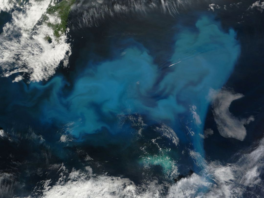
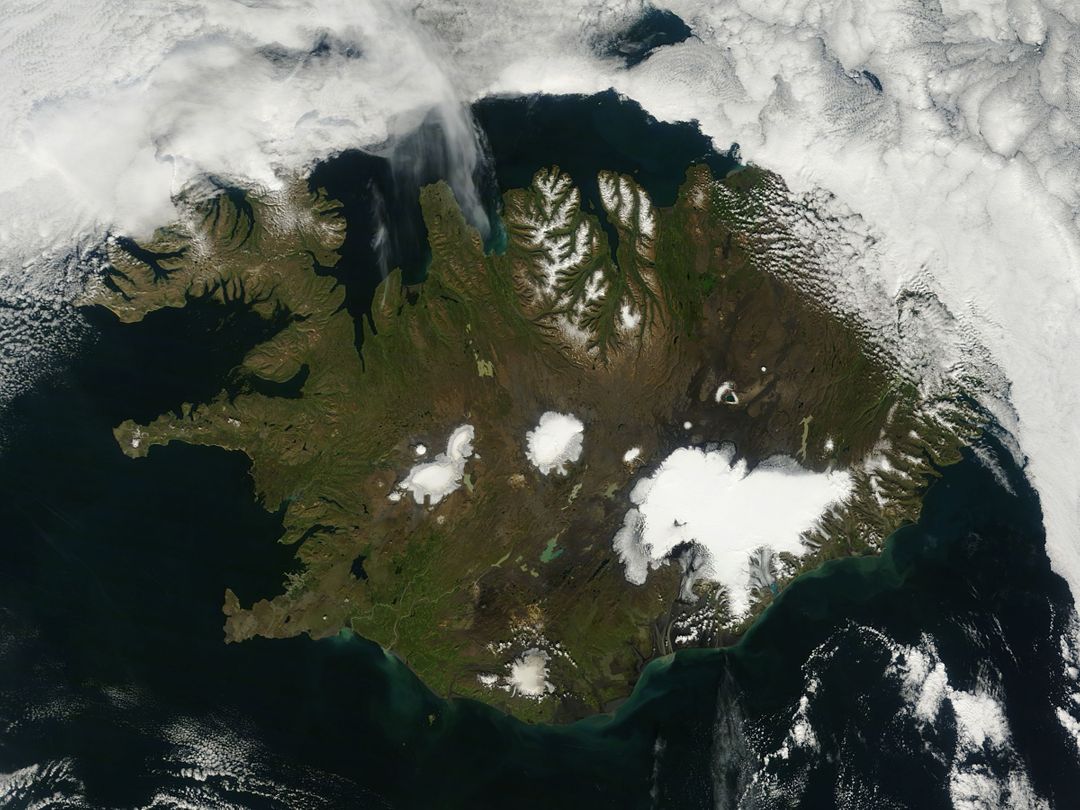
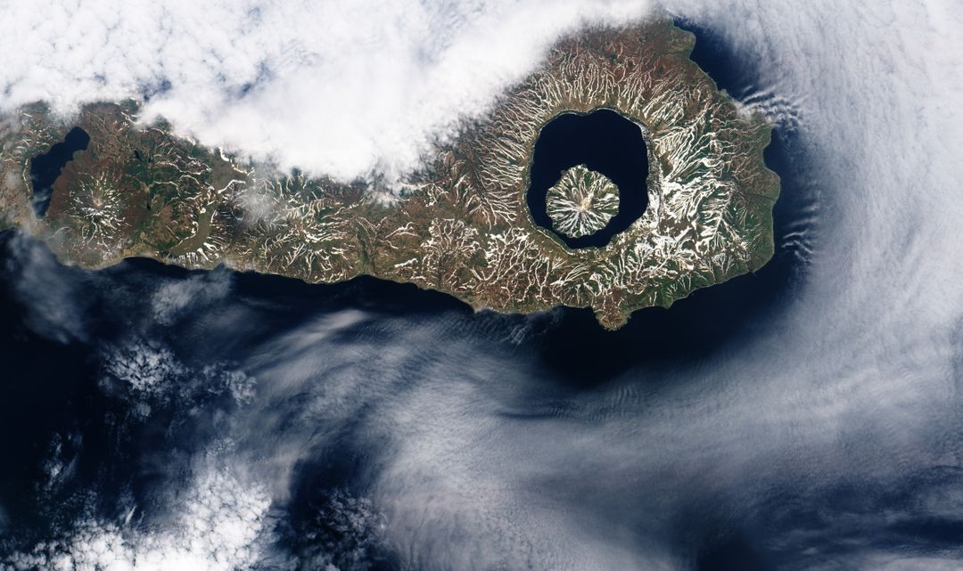
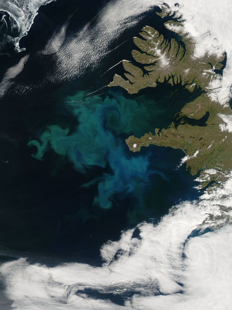
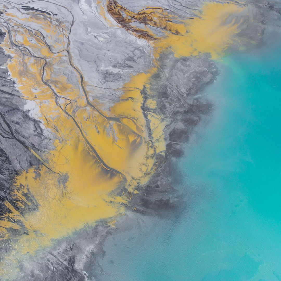
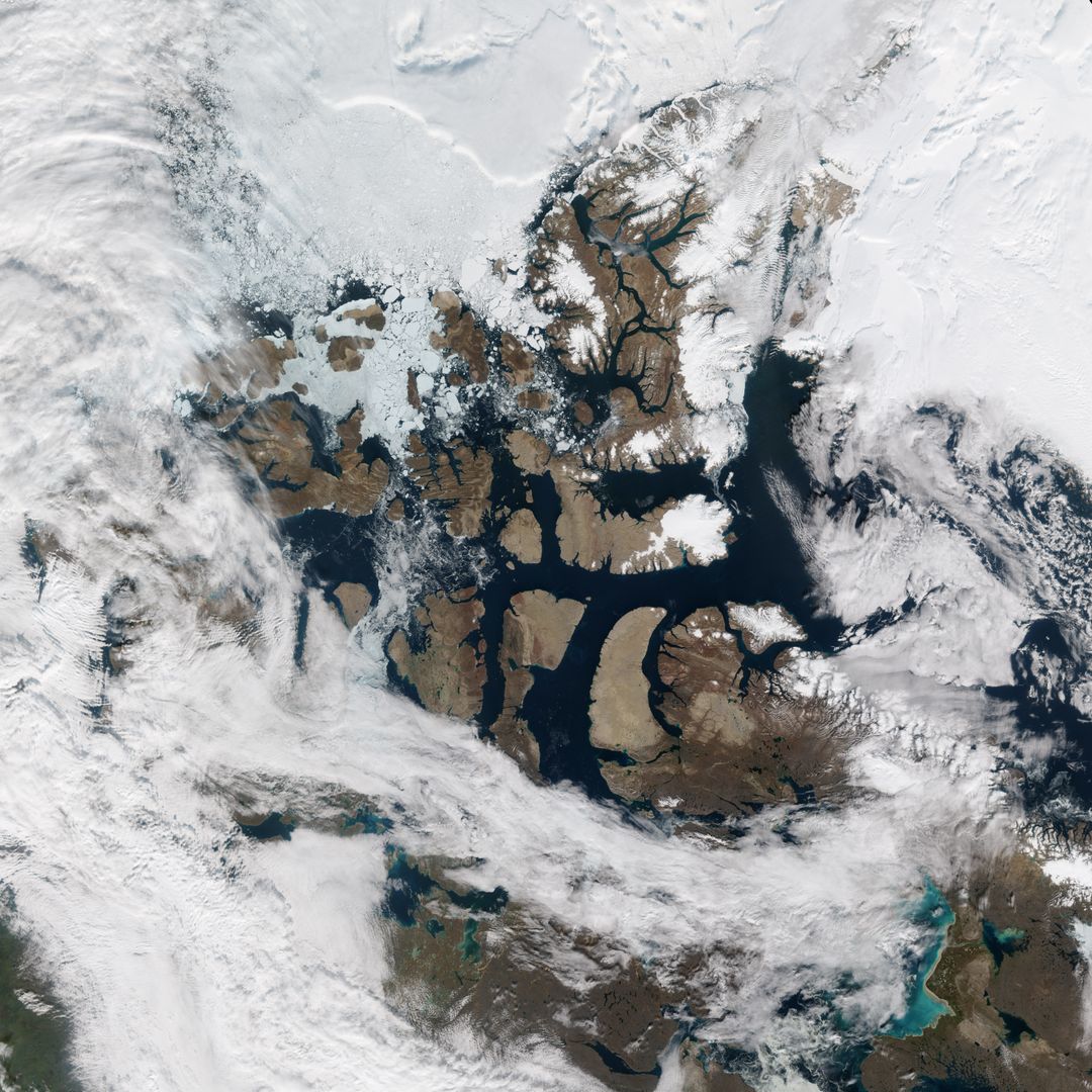
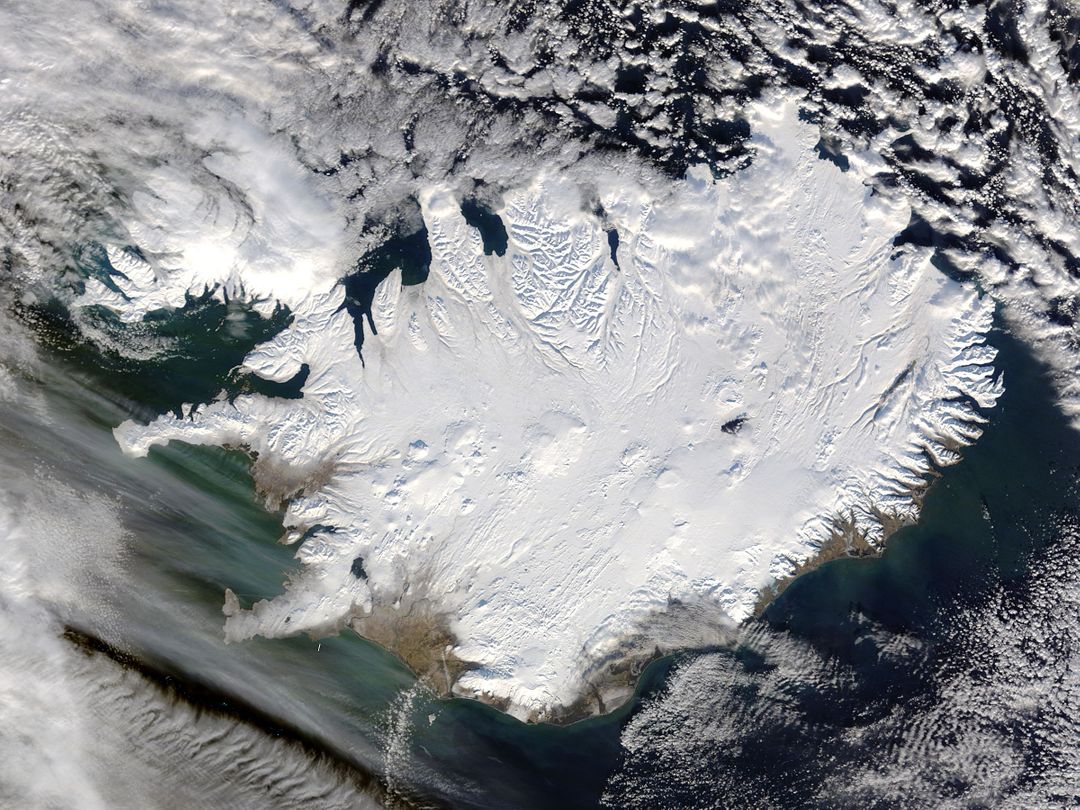
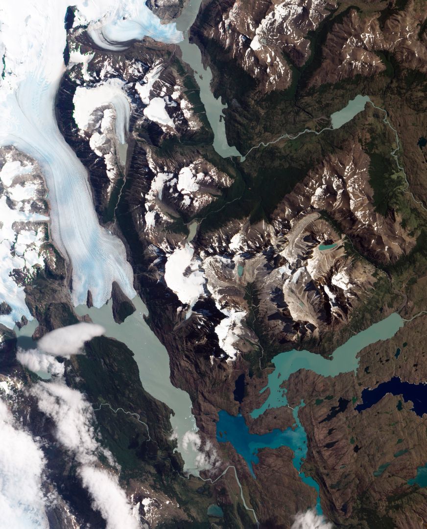
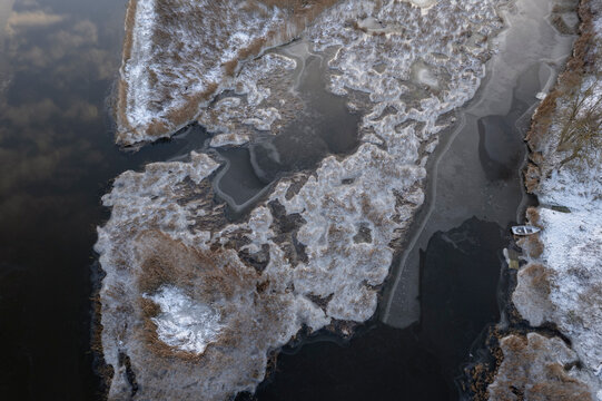
- Astronaut View of Iceland's Snow-Covered Terrain from Space
Astronaut View of Iceland's Snow-Covered Terrain from Space Image
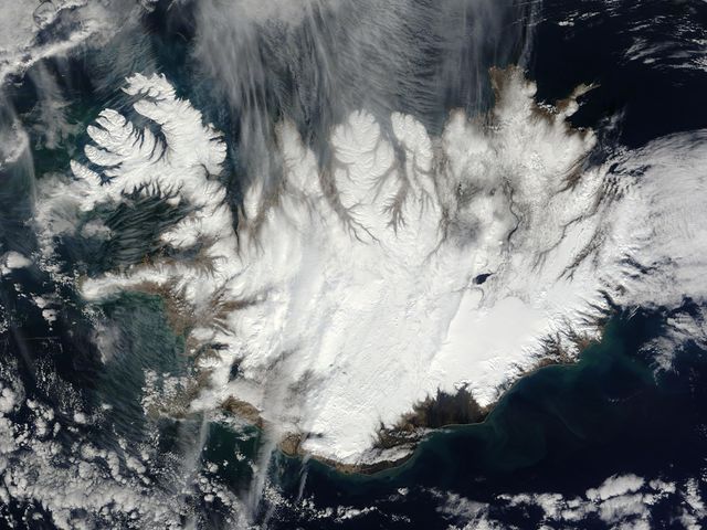
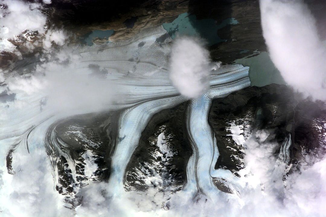
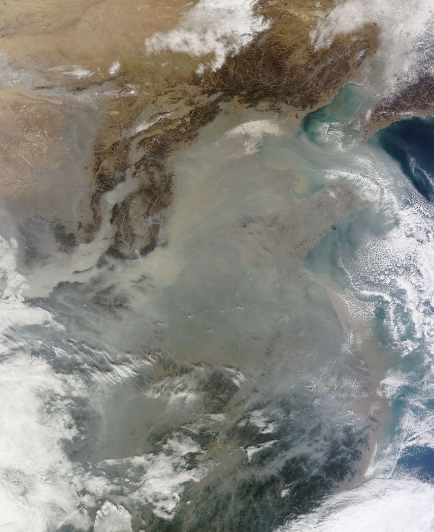
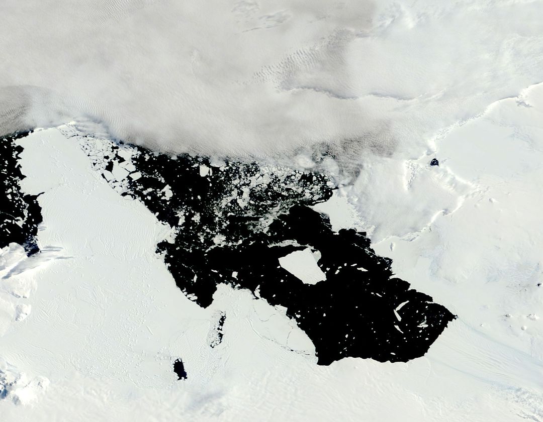
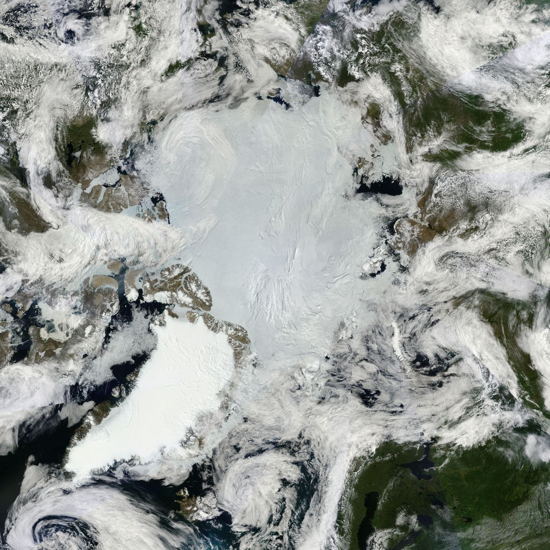
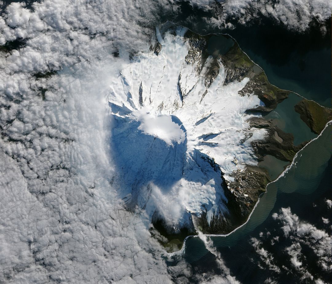
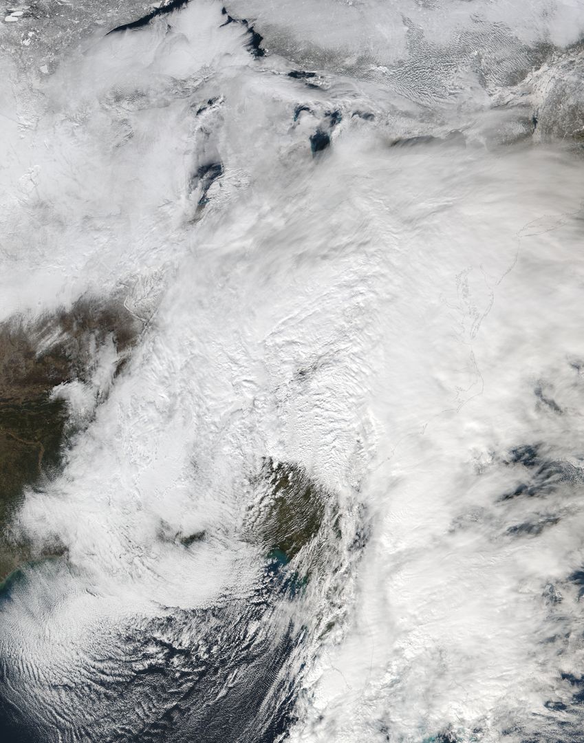
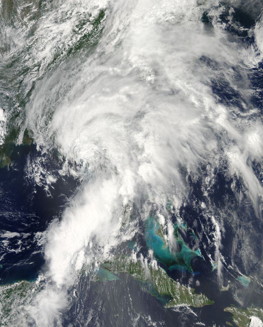
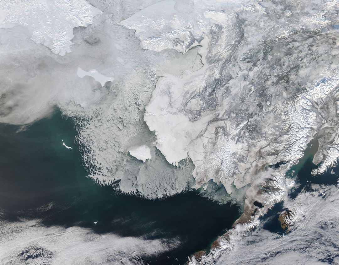
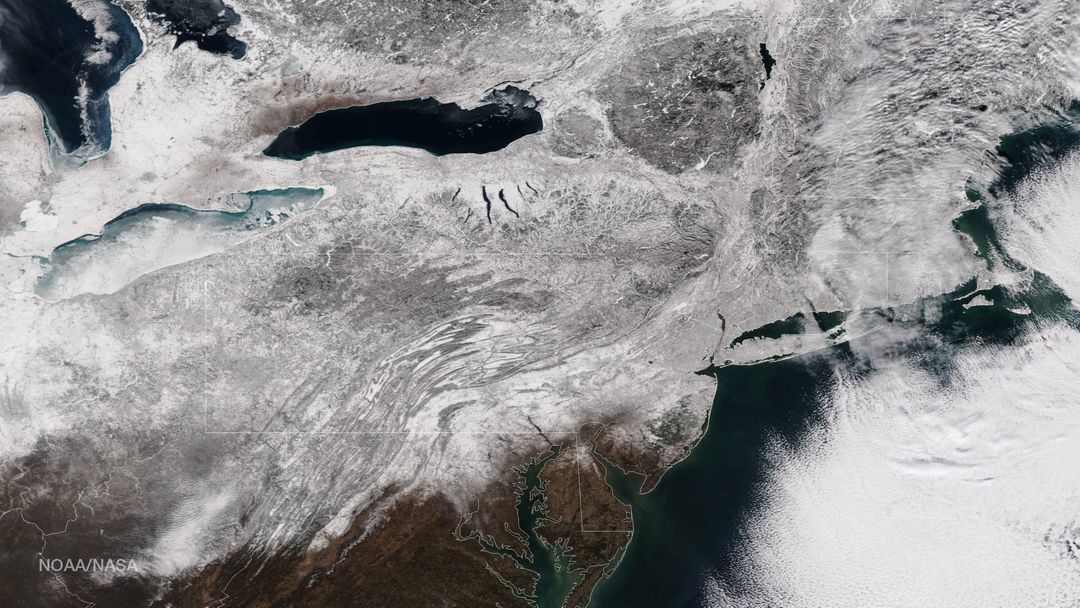
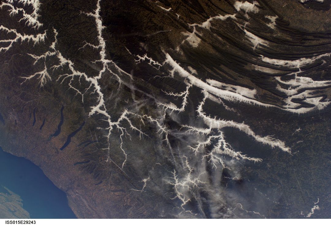
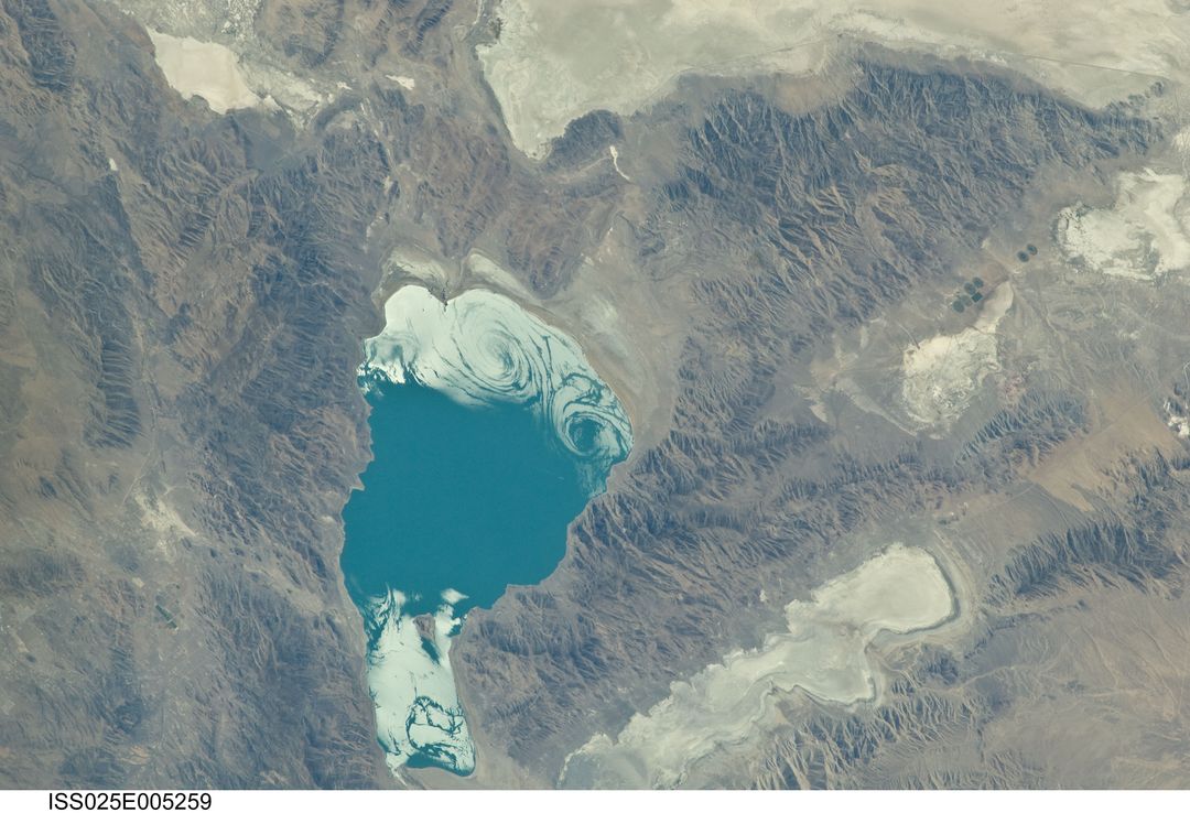
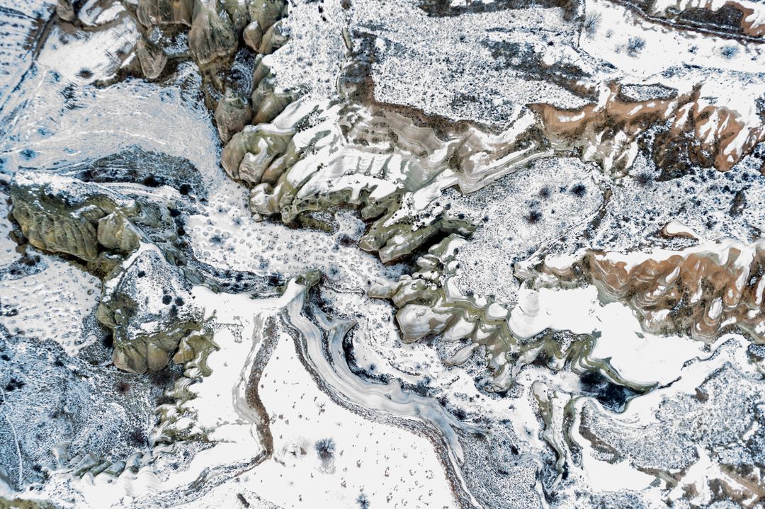
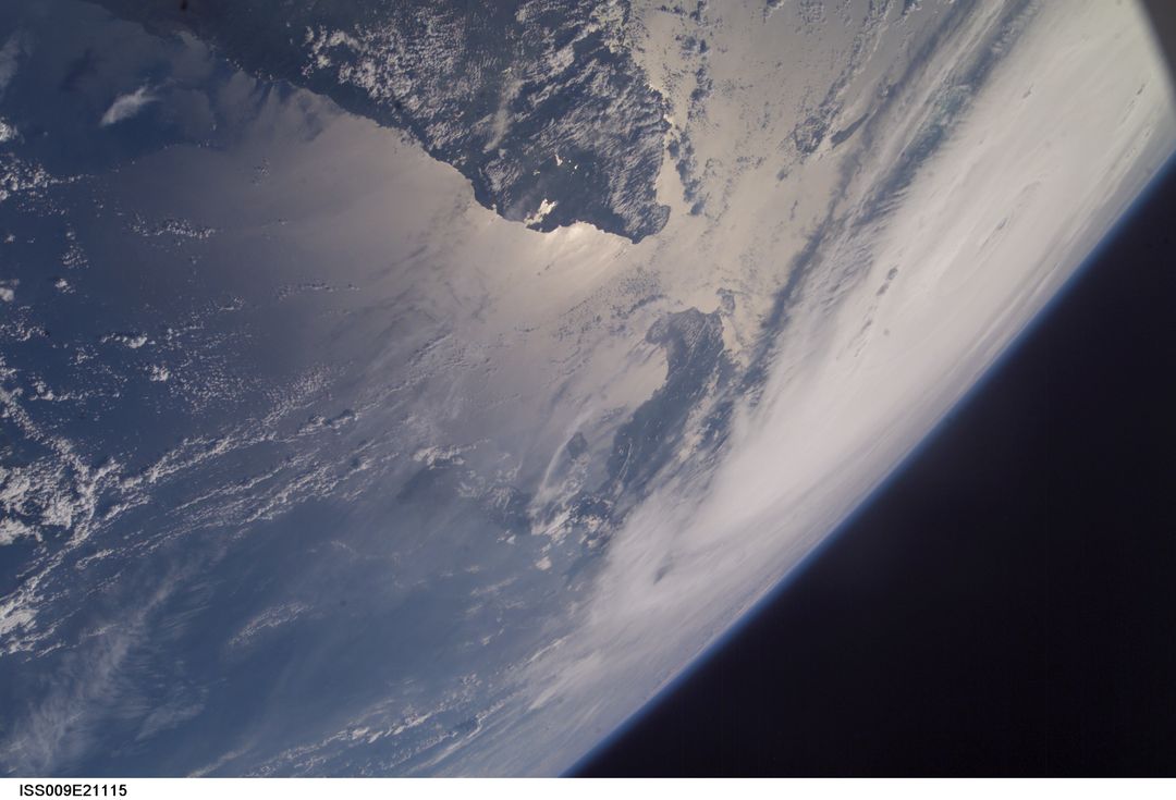
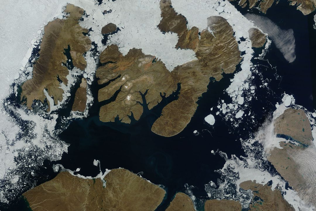
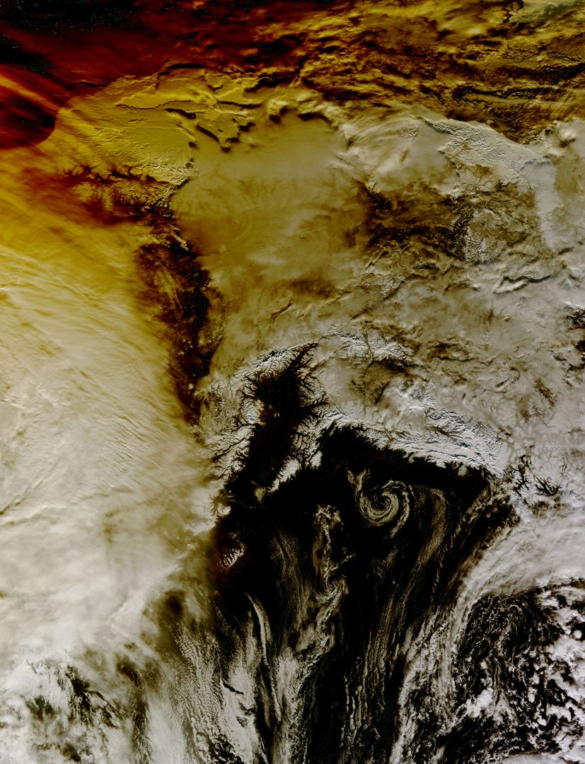
Capturing a nearly cloud-free view, this image shows Iceland's snow-covered landscape from space. Taken by the MODIS instrument on the Terra spacecraft on April 15, 2015, this stunning view is useful for education materials on geosciences, environmental studies, and space exploration topics. It can also be perfect for illustrating articles and presentations about Iceland, climate change, and satellite imagery.
Powered by 

Credit Photo
If you would like to credit the Photo, here are some ways you can do so
Text Link
photo Link
<span class="text-link">
<span>
<a target="_blank" href=https://pikwizard.com/photo/astronaut-view-of-icelands-snow-covered-terrain-from-space/0fd0b83ac03611b464f4ba15374cbd1a/>PikWizard</a>
</span>
</span>
<span class="image-link">
<span
style="margin: 0 0 20px 0; display: inline-block; vertical-align: middle; width: 100%;"
>
<a
target="_blank"
href="https://pikwizard.com/photo/astronaut-view-of-icelands-snow-covered-terrain-from-space/0fd0b83ac03611b464f4ba15374cbd1a/"
style="text-decoration: none; font-size: 10px; margin: 0;"
>
<img src="https://pikwizard.com/pw/medium/0fd0b83ac03611b464f4ba15374cbd1a.jpg" style="margin: 0; width: 100%;" alt="" />
<p style="font-size: 12px; margin: 0;">PikWizard</p>
</a>
</span>
</span>
CC0 (Creative Commons Zero)
Free for personal and commercial use.
Similar Free Stock Images