- Home >
- Stock Photos >
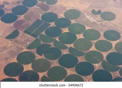
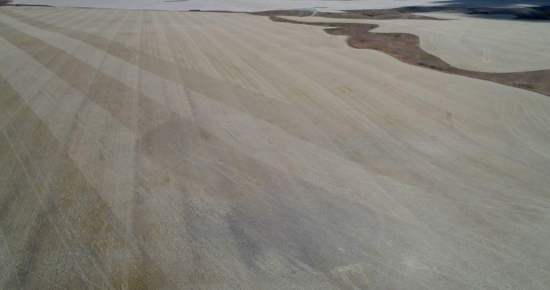
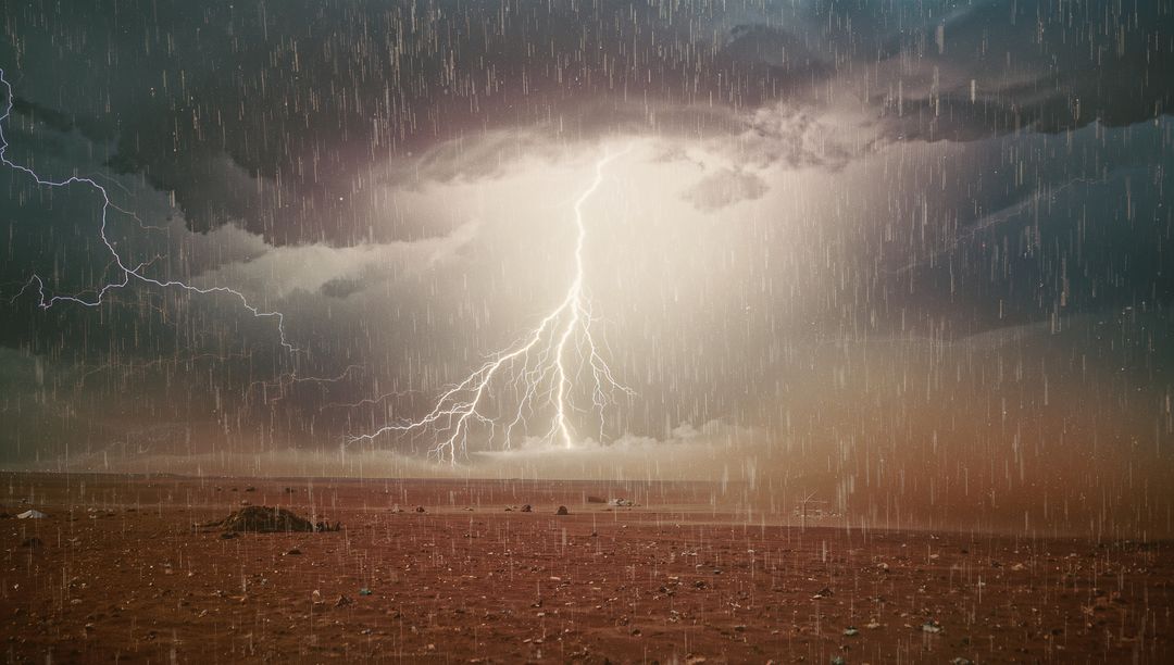
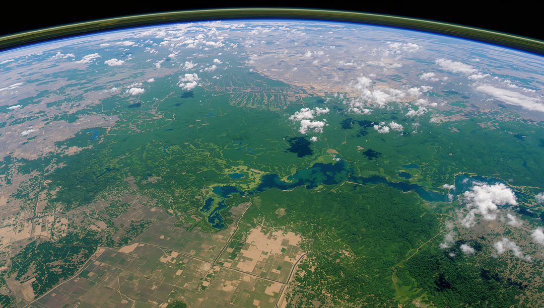
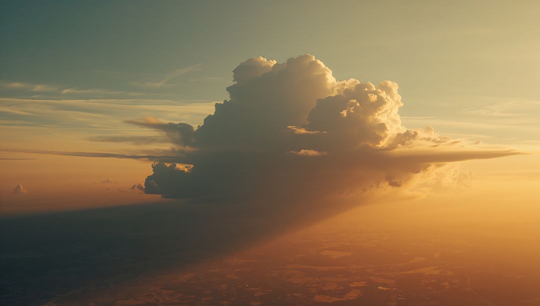
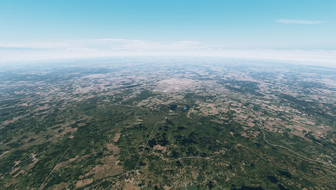
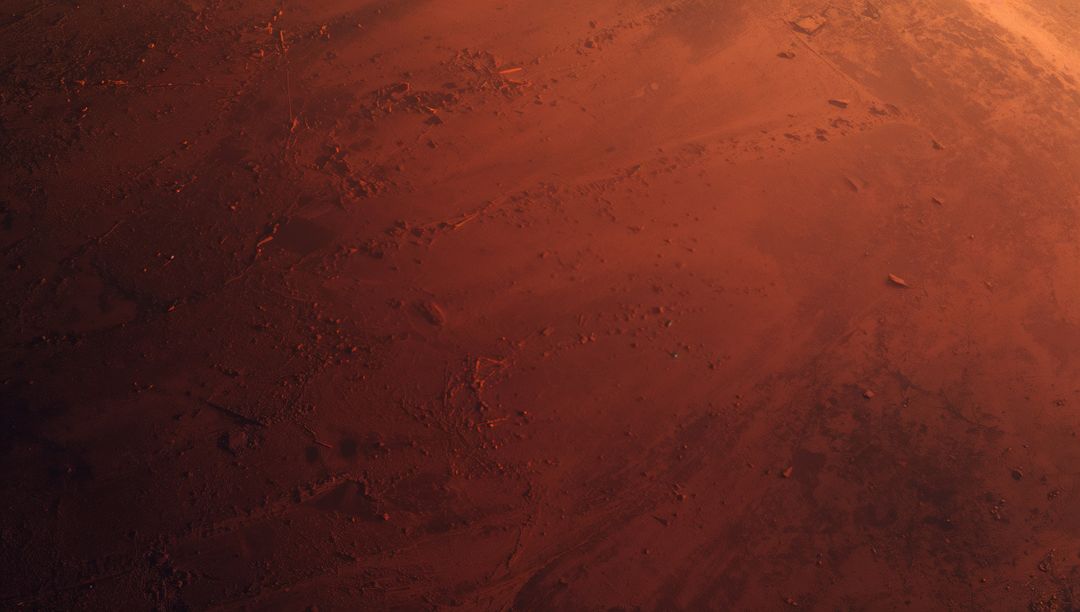
- Breathtaking Aerial View of Patterns Across Expansive Farmland and Desert
Breathtaking Aerial View of Patterns Across Expansive Farmland and Desert Image
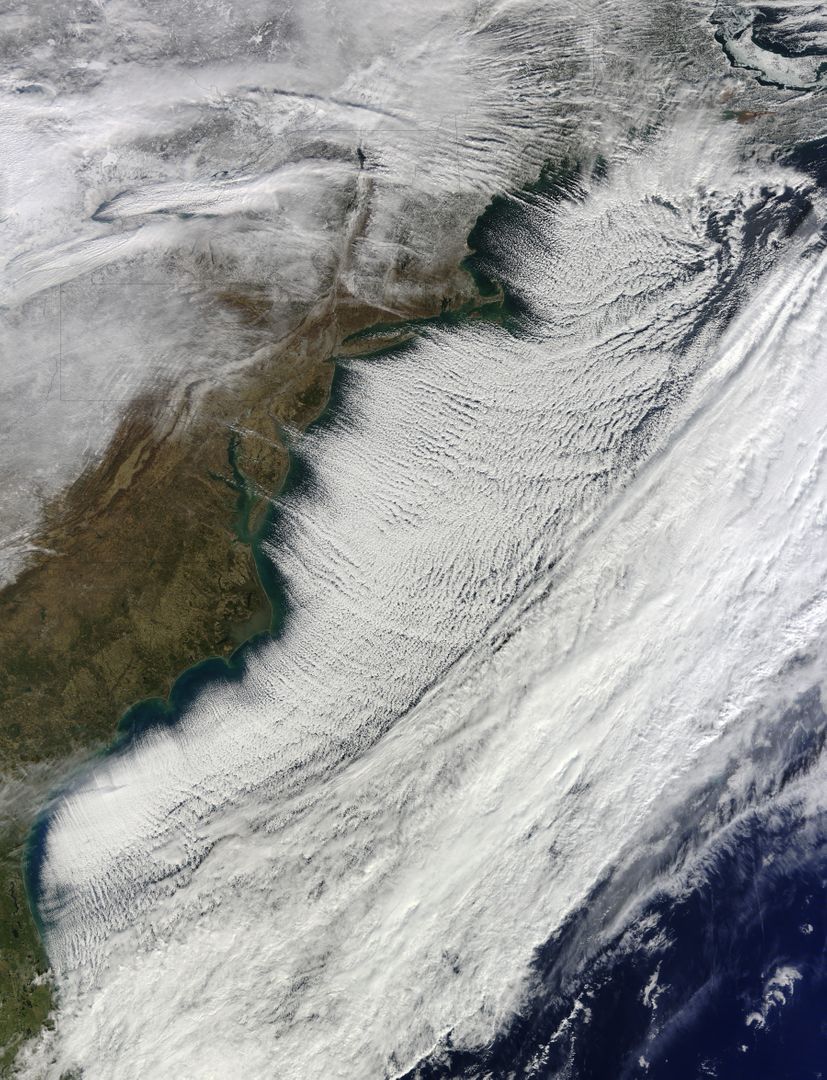
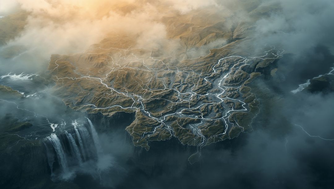
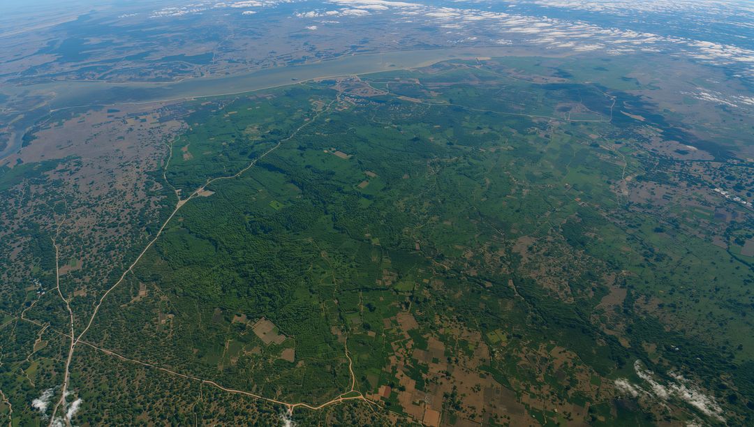
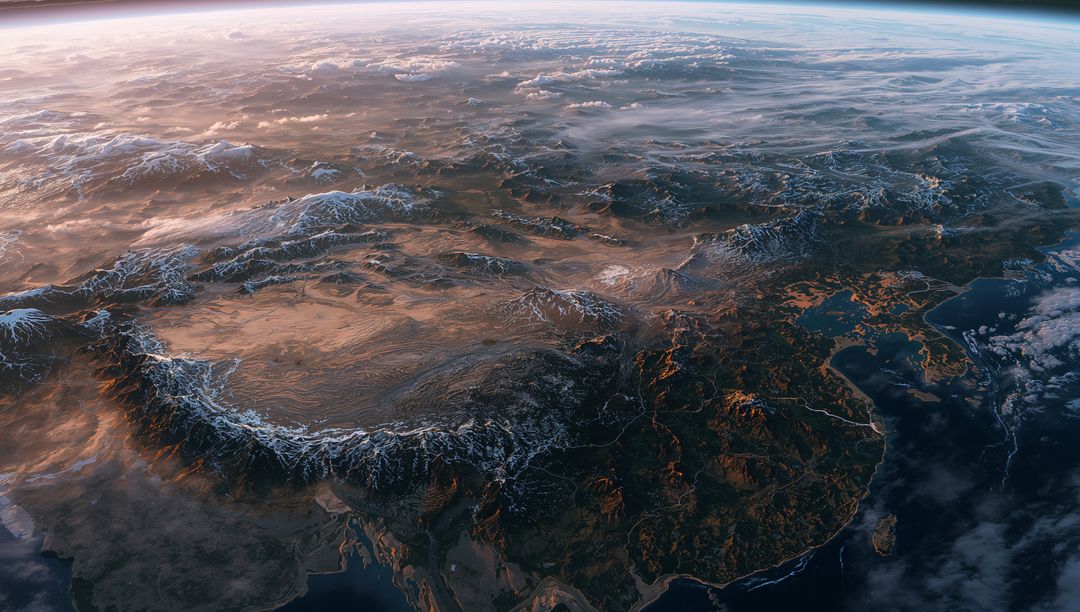
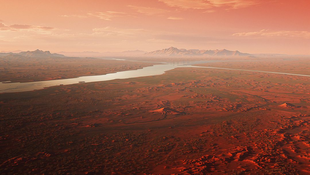
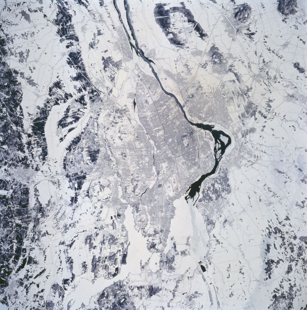
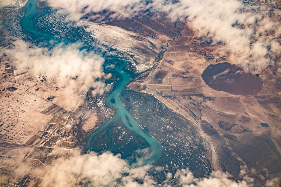
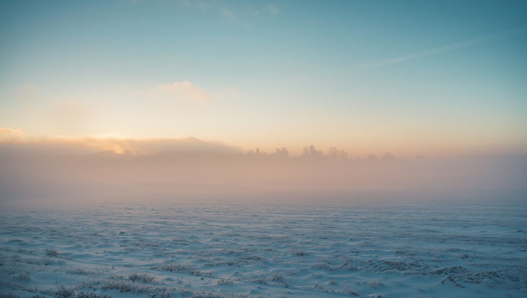
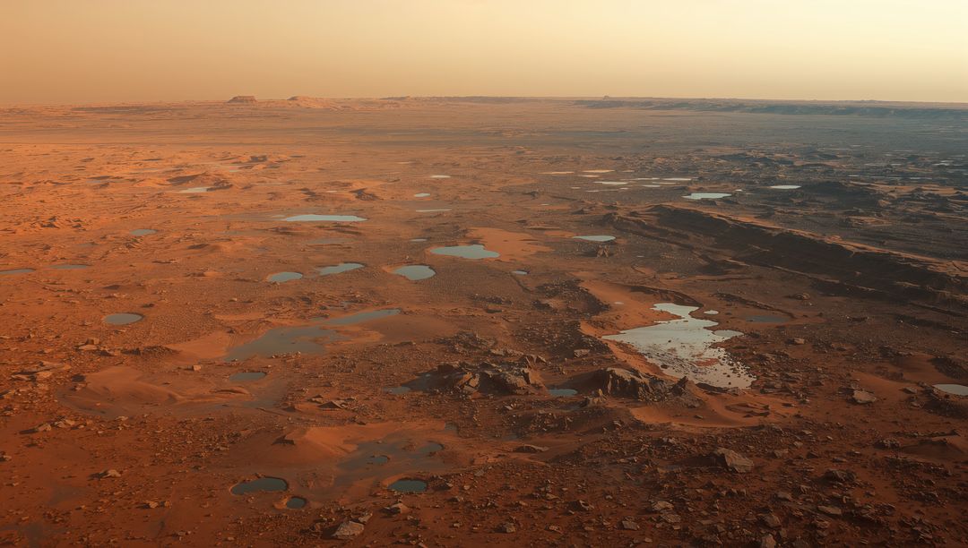
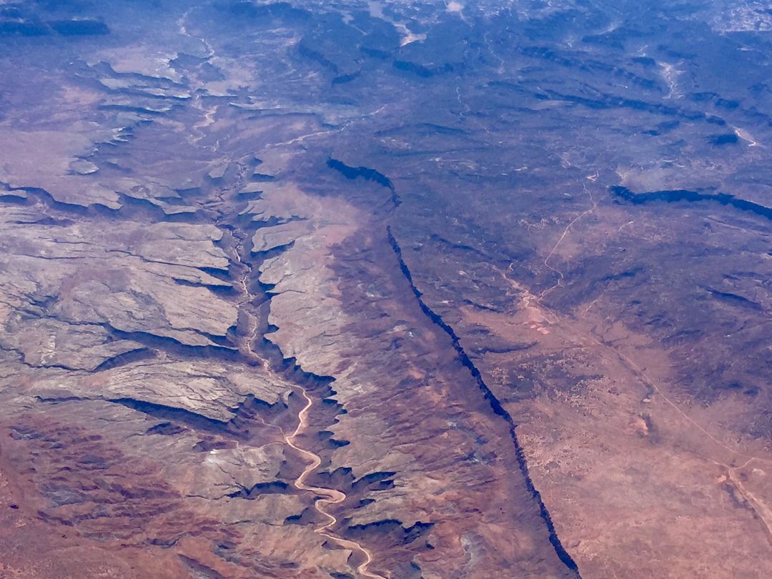
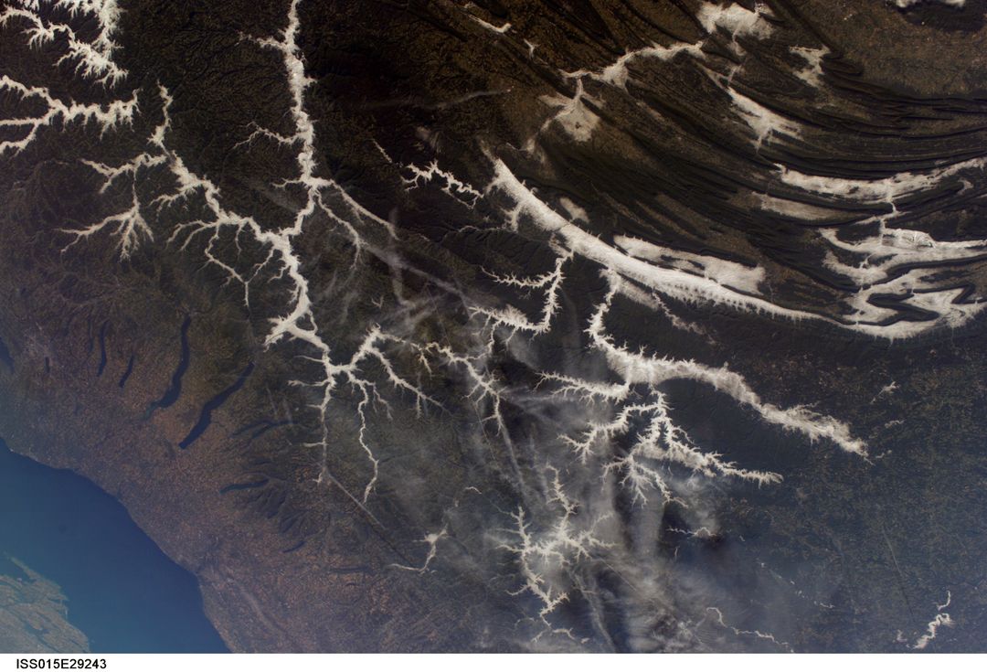
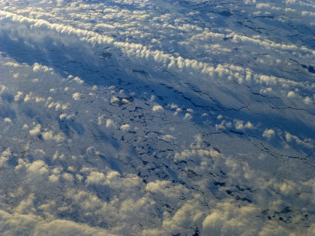
AI Generated Image. This striking view captures the intricate patterns formed by sprawling farmlands merging into desolate desert scenes. Fleeting cloud layers cast unique shadows, artfully curtaining parts of the terrain below. Creation suggests atmospheric beauty, perfect for themes of travel, exploration, contrasts in ecology, geographic diversity, artistic displays of simplicity, educational exhibitions for geomorphology, and countryside terrains.
Powered by  - Get 15% off with code: PIKWIZARD15


0
downloads
downloads
Tags:
More
Credit Photo
If you would like to credit the Photo, here are some ways you can do so
Text Link
photo Link
<span class="text-link">
<span>
<a target="_blank" href=https://pikwizard.com/photo/breathtaking-aerial-view-of-patterns-across-expansive-farmland-and-desert/016bbf37dd8db0c9d23ae51c56a1d3b7/>PikWizard</a>
</span>
</span>
<span class="image-link">
<span
style="margin: 0 0 20px 0; display: inline-block; vertical-align: middle; width: 100%;"
>
<a
target="_blank"
href="https://pikwizard.com/photo/breathtaking-aerial-view-of-patterns-across-expansive-farmland-and-desert/016bbf37dd8db0c9d23ae51c56a1d3b7/"
style="text-decoration: none; font-size: 10px; margin: 0;"
>
<img src="https://pikwizard.com/pw/medium/016bbf37dd8db0c9d23ae51c56a1d3b7.jpg" style="margin: 0; width: 100%;" alt="" />
<p style="font-size: 12px; margin: 0;">PikWizard</p>
</a>
</span>
</span>
Free (free of charge)
Free for personal and commercial use.
Author: AI Creator
Similar Free Stock Images

Premium


Premium


Premium


Premium

Premium


Premium


Premium


Premium

Premium


Premium


Premium


Premium


Premium

Premium


Premium


Premium


Premium


Premium


Premium


Premium


Premium


Premium


Premium


Premium