- Home >
- Stock Photos >
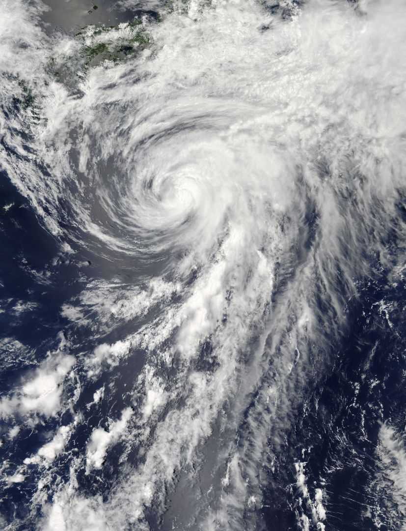
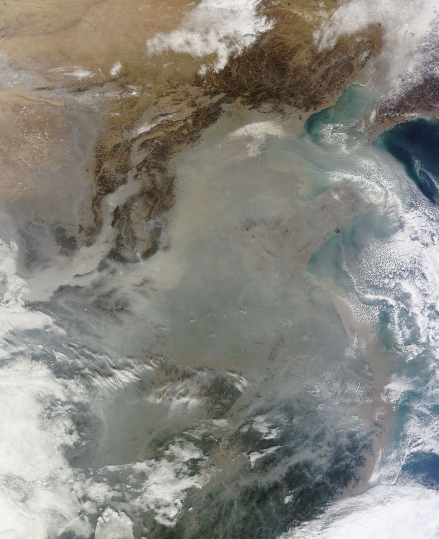
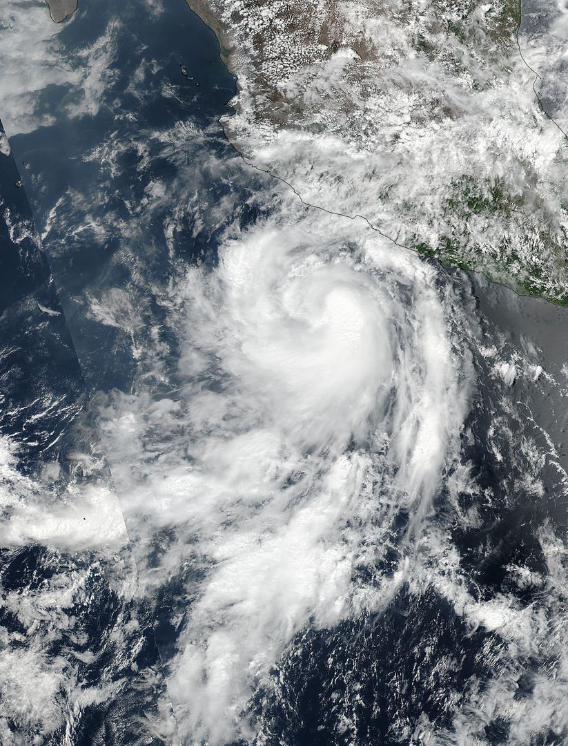
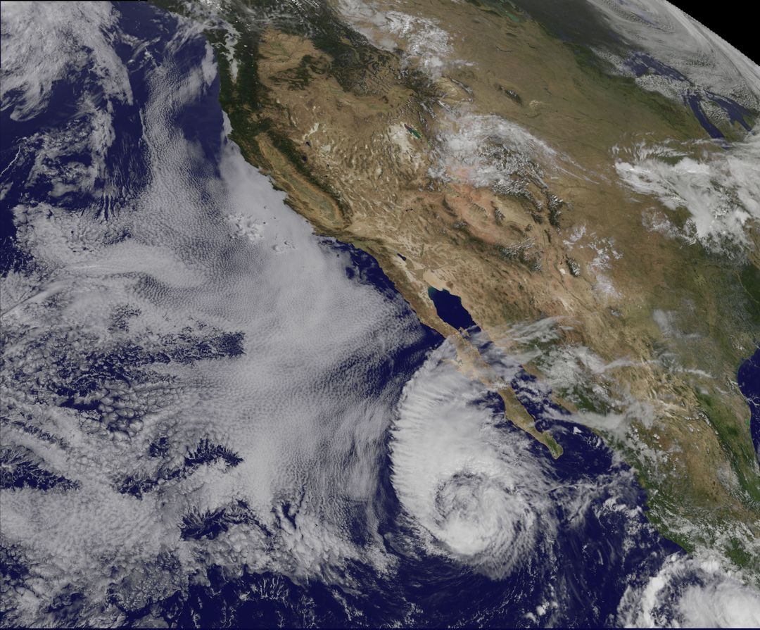
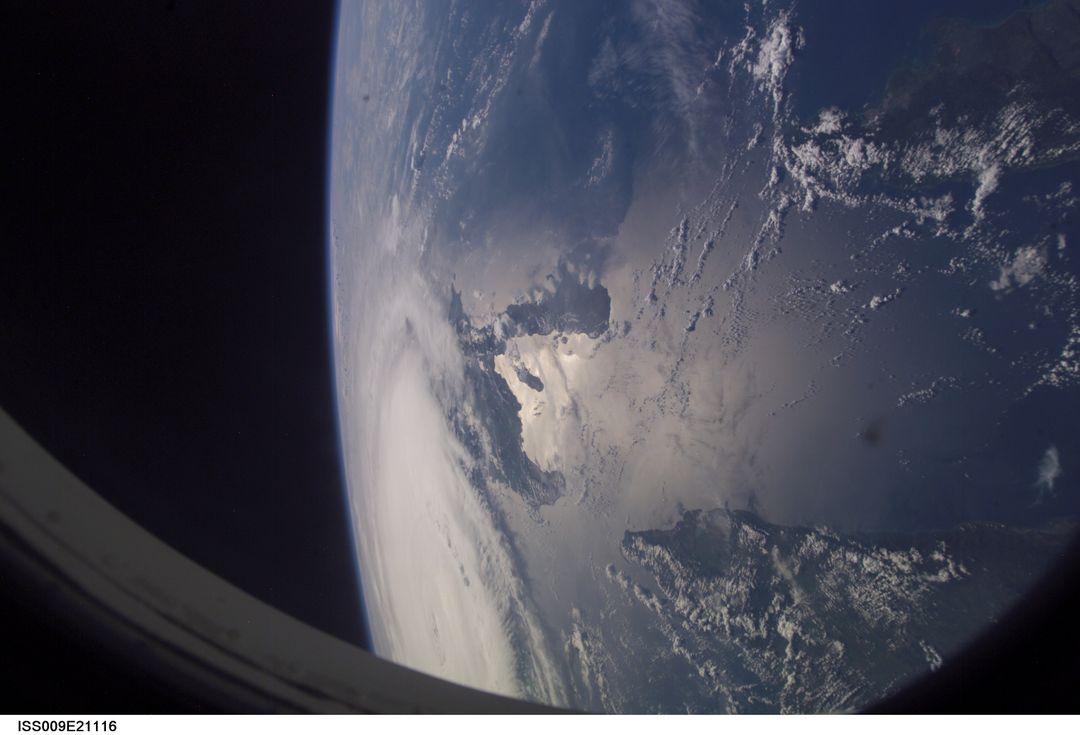
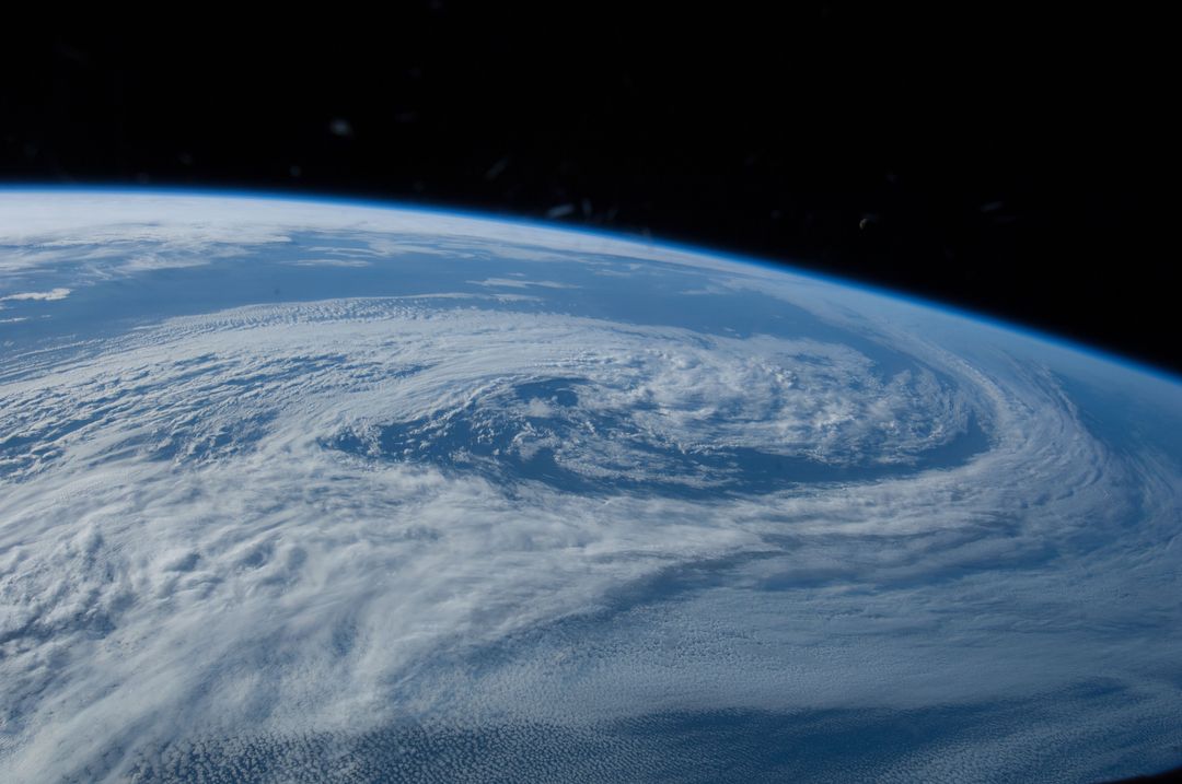
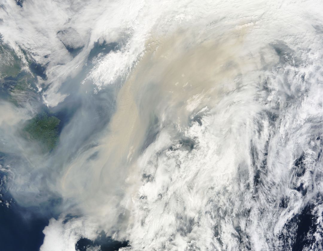
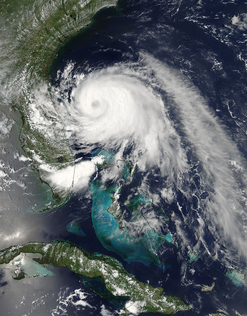
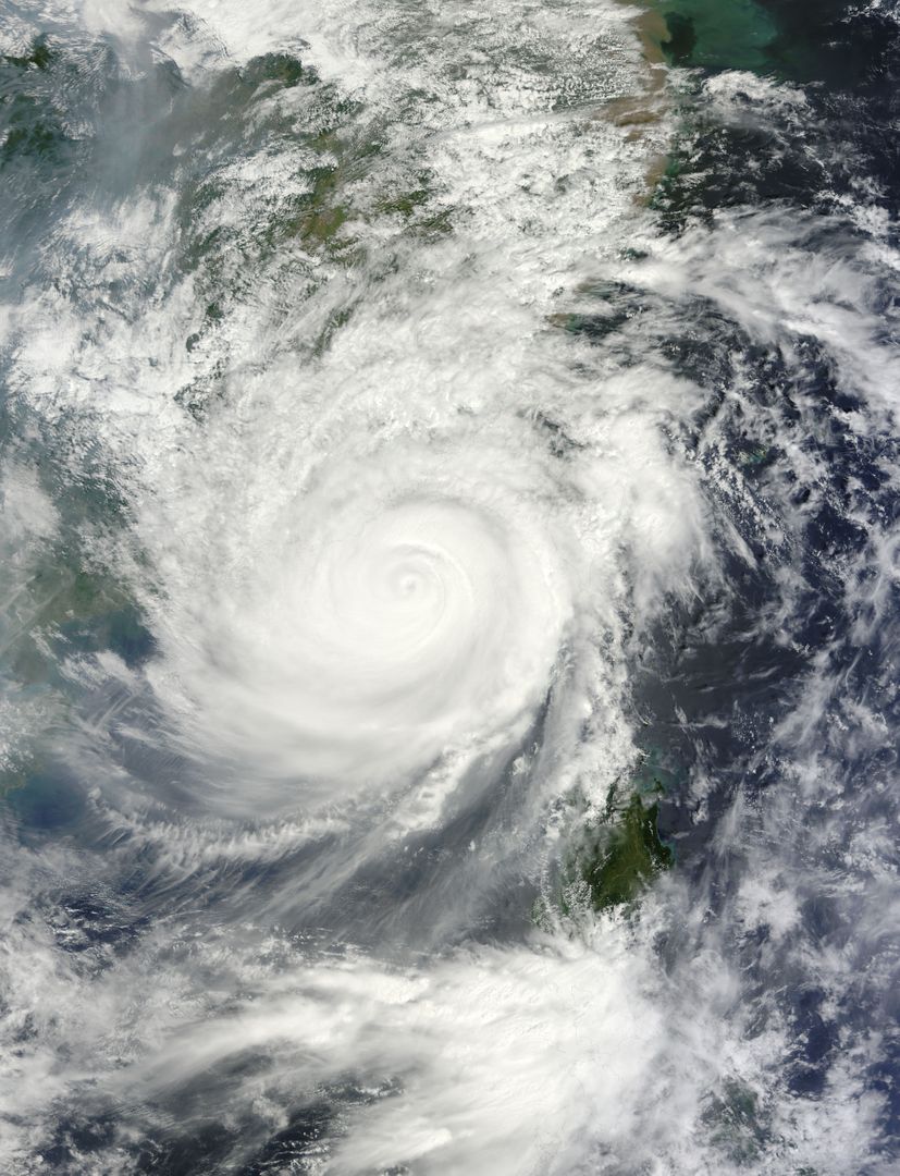
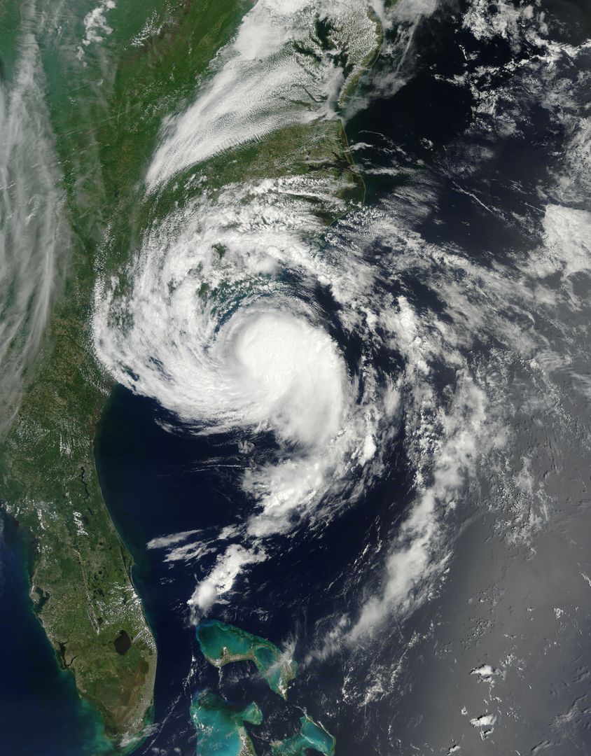
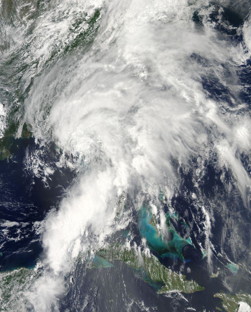
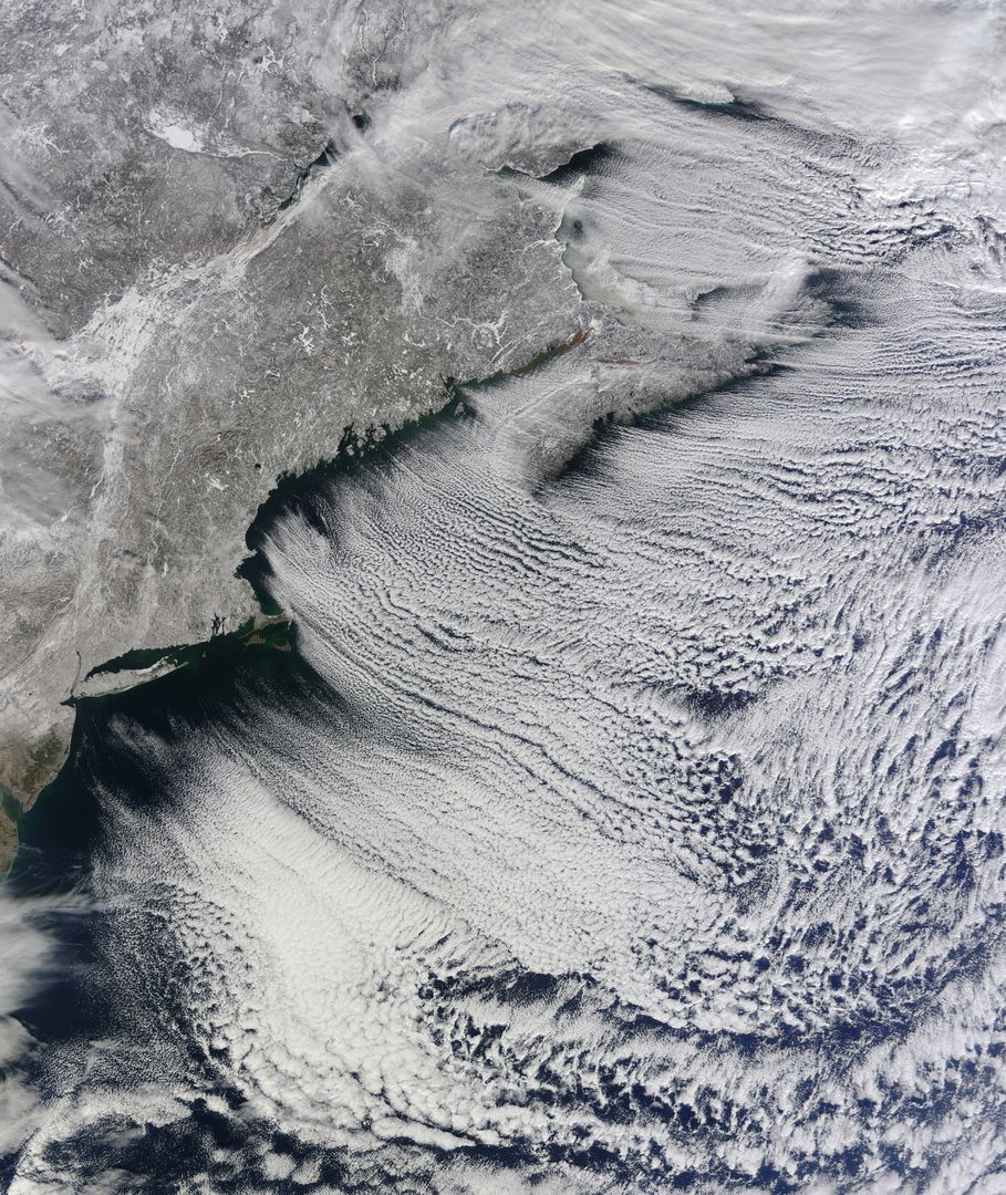
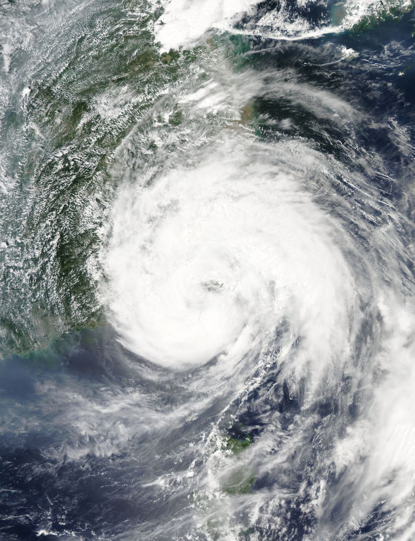
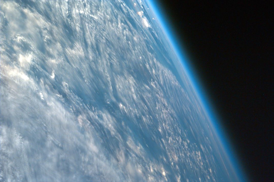
- Calbuco Volcano Plume from Space Over Cloud Deck in Chile
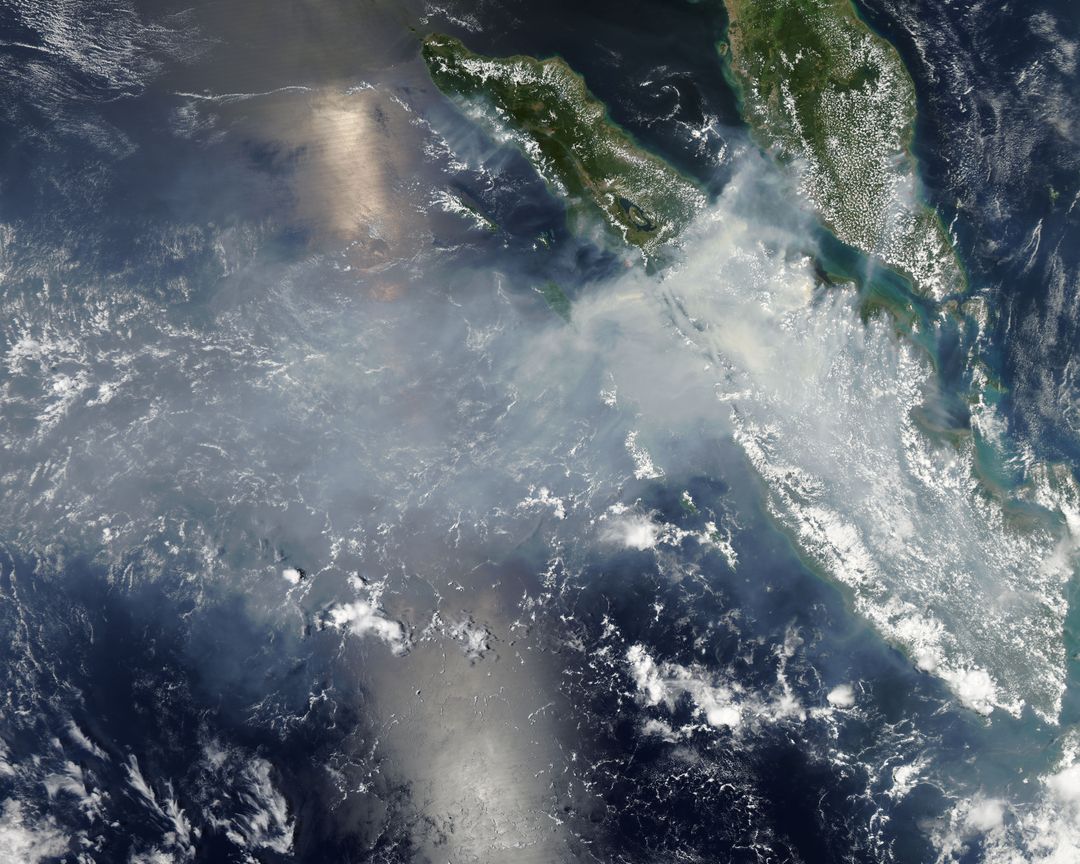
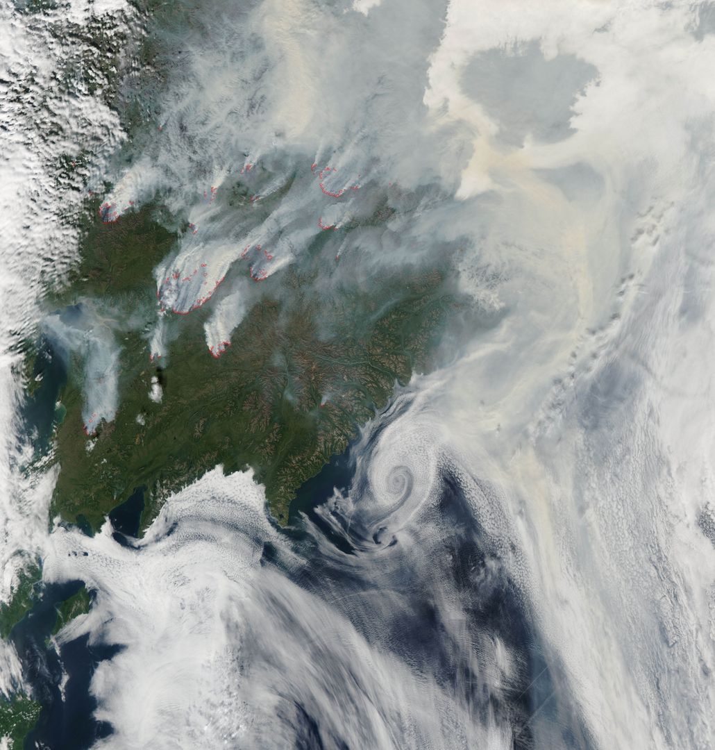
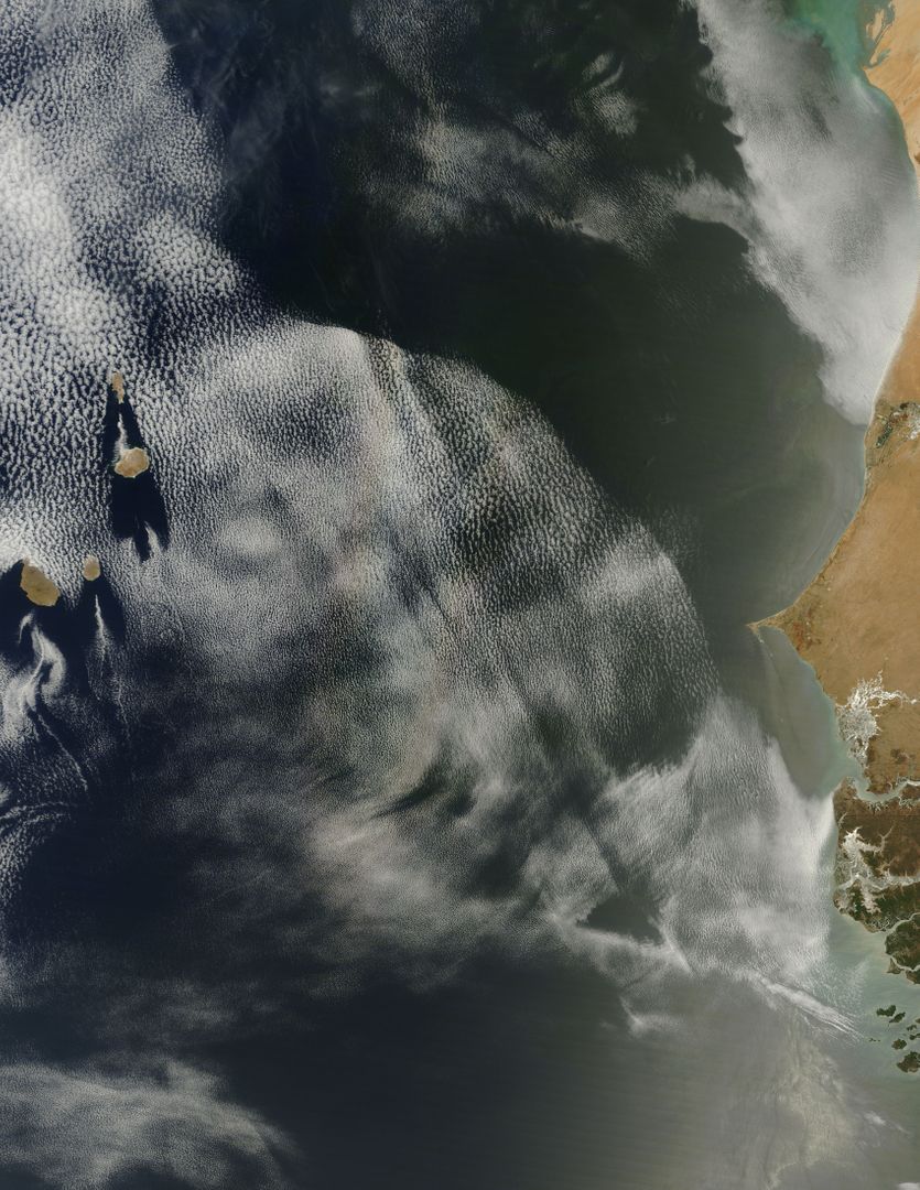
Calbuco Volcano Plume from Space Over Cloud Deck in Chile Image
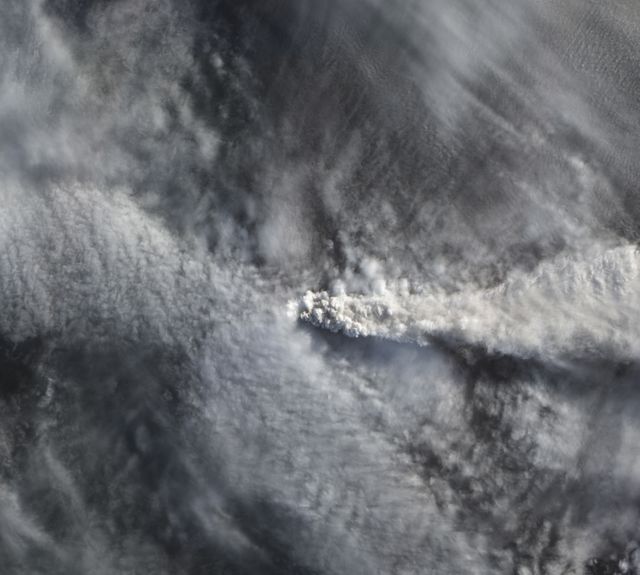
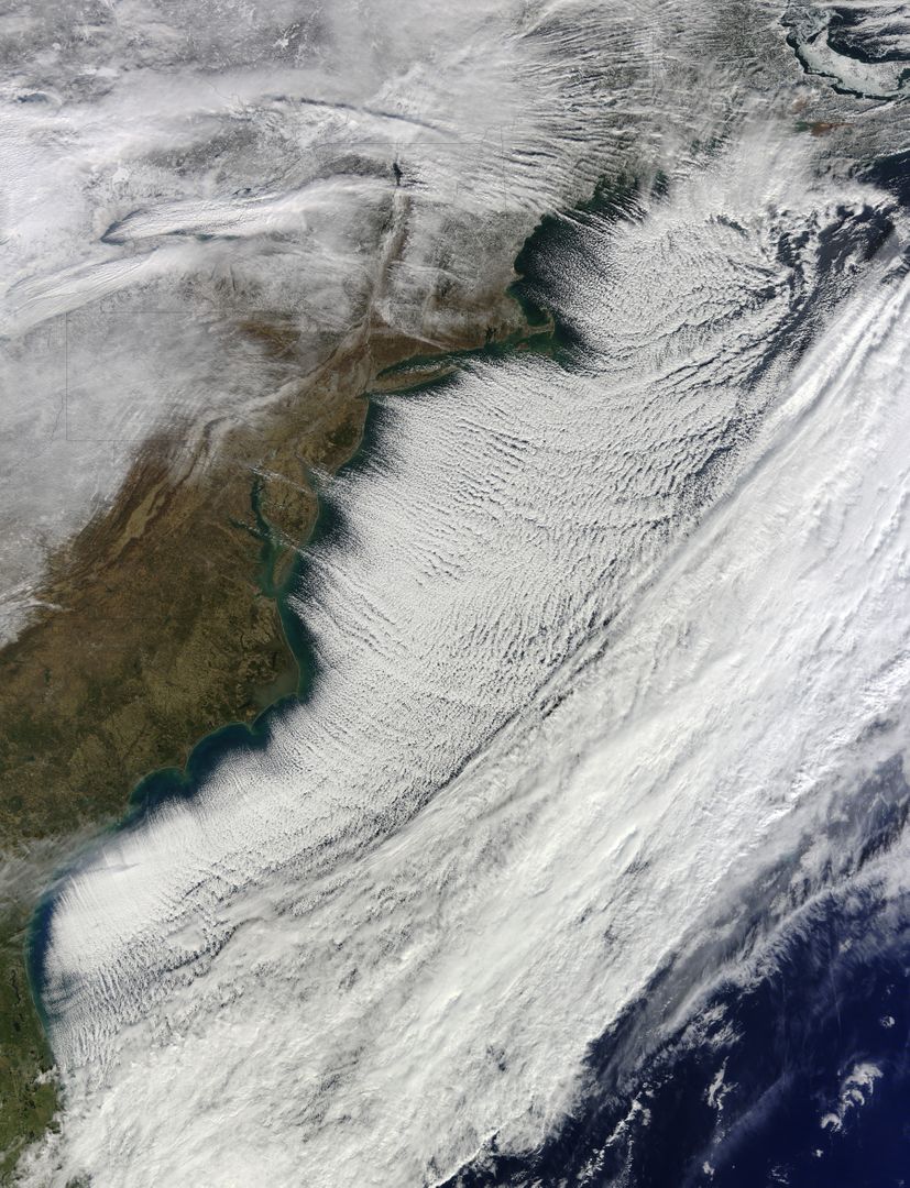
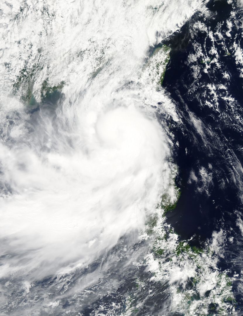
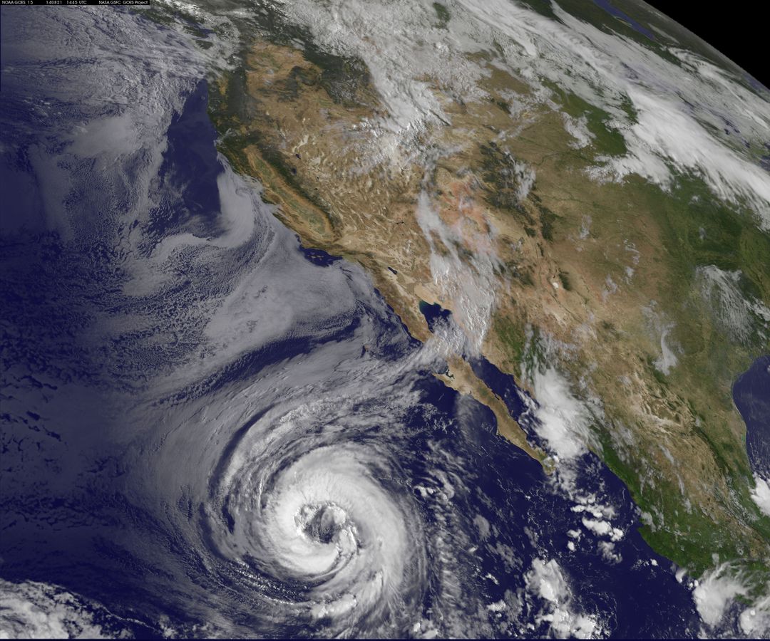
Volcanic plume from Calbuco eruption seen from space by NASA's Earth Observing-1. Image captured on April 25. Ideal for geological studies, environmental science content, or educational illustrations on volcanic activity and satellite imagery analysis.
Powered by  - Get 15% off with code: PIKWIZARD15

Credit Photo
If you would like to credit the Photo, here are some ways you can do so
Text Link
photo Link
<span class="text-link">
<span>
<a target="_blank" href=https://pikwizard.com/photo/calbuco-volcano-plume-from-space-over-cloud-deck-in-chile/c082a556517ab86e93b4ee63e4e4f72f/>PikWizard</a>
</span>
</span>
<span class="image-link">
<span
style="margin: 0 0 20px 0; display: inline-block; vertical-align: middle; width: 100%;"
>
<a
target="_blank"
href="https://pikwizard.com/photo/calbuco-volcano-plume-from-space-over-cloud-deck-in-chile/c082a556517ab86e93b4ee63e4e4f72f/"
style="text-decoration: none; font-size: 10px; margin: 0;"
>
<img src="https://pikwizard.com/pw/medium/c082a556517ab86e93b4ee63e4e4f72f.jpg" style="margin: 0; width: 100%;" alt="" />
<p style="font-size: 12px; margin: 0;">PikWizard</p>
</a>
</span>
</span>
CC0 (Creative Commons Zero)
Free for personal and commercial use.
Similar Free Stock Images