- Home >
- Stock Photos >
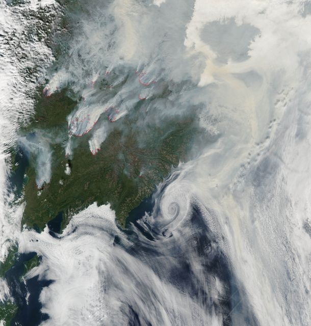
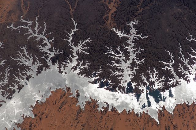
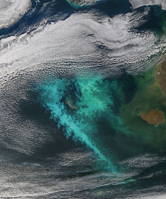
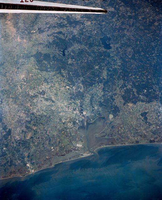
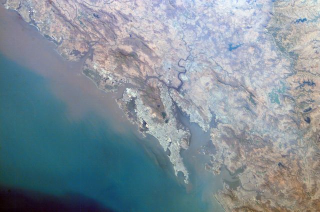
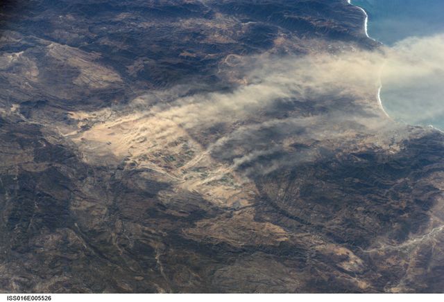
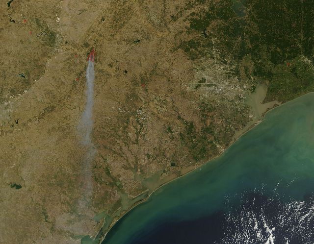
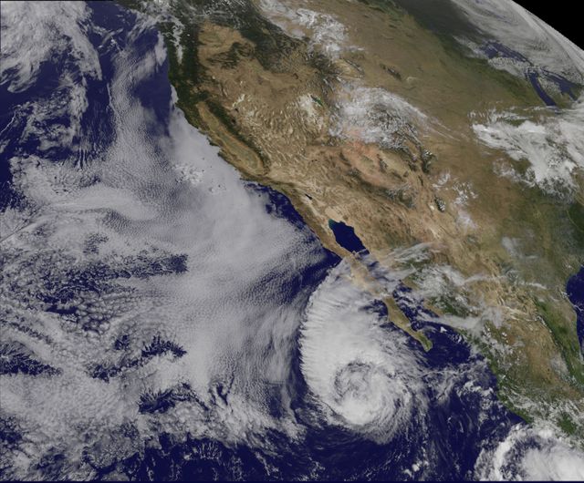
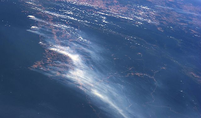
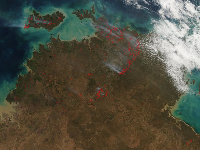
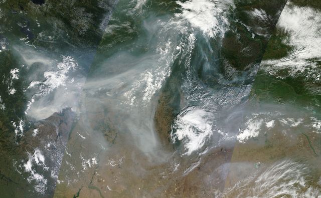
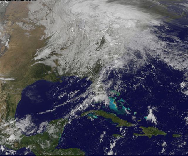
- California Coastal Regions from Space with Active Fire Area Outlined, May 2013
California Coastal Regions from Space with Active Fire Area Outlined, May 2013 Image
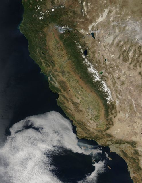
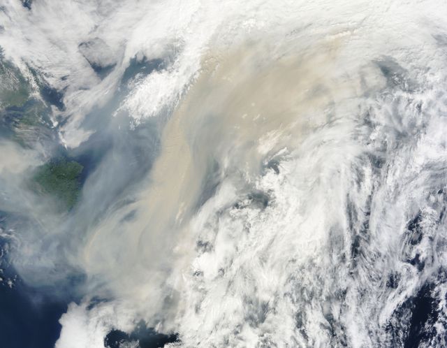
Natural-color satellite capture showing coastal regions of California, including Ventura County and Malibu on May 2, 2013. Red outlines indicate actively burning areas from the Springs Fire, influenced by Santa Ana winds and dry vegetation. This image is useful for geographical and environmental studies, climate change research, and wildfire monitoring and analysis.
Powered by  - Get 15% off with code: PIKWIZARD15


Credit Photo
If you would like to credit the Photo, here are some ways you can do so
Text Link
photo Link
<span class="text-link">
<span>
<a target="_blank" href=https://pikwizard.com/photo/california-coastal-regions-from-space-with-active-fire-area-outlined-may-2013/cf081022b0d78f0c965bfdc14a80d27f/>PikWizard</a>
</span>
</span>
<span class="image-link">
<span
style="margin: 0 0 20px 0; display: inline-block; vertical-align: middle; width: 100%;"
>
<a
target="_blank"
href="https://pikwizard.com/photo/california-coastal-regions-from-space-with-active-fire-area-outlined-may-2013/cf081022b0d78f0c965bfdc14a80d27f/"
style="text-decoration: none; font-size: 10px; margin: 0;"
>
<img src="https://pikwizard.com/pw/medium/cf081022b0d78f0c965bfdc14a80d27f.jpg" style="margin: 0; width: 100%;" alt="" />
<p style="font-size: 12px; margin: 0;">PikWizard</p>
</a>
</span>
</span>
CC0 (Creative Commons Zero)
Free for personal and commercial use.
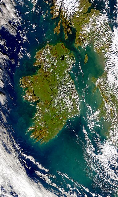
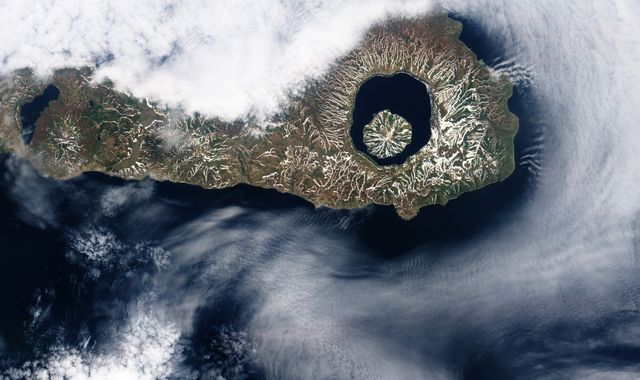
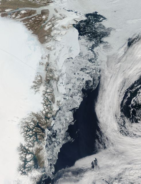
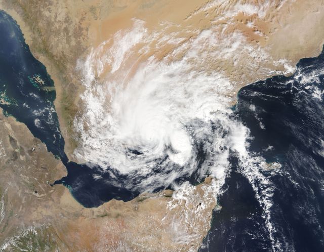
Similar Free Stock Images
Loading...
Premium
Premium

Premium

Premium

Premium


Premium
Premium

Premium

Premium

Premium


Premium


Premium

Premium

Premium

Premium

Premium
Premium

Premium

Premium

Premium

Premium

Premium
![High resolution satellite image of Los Angeles in California/ United States - contains modified Copernicus Sentinel data [2018]](https://image.shutterstock.com/image-photo/high-resolution-satellite-image-los-260nw-1294174840.jpg)
Premium

Premium

Premium