
- Home >
- Stock Photos >
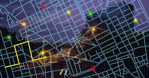
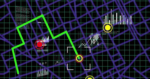
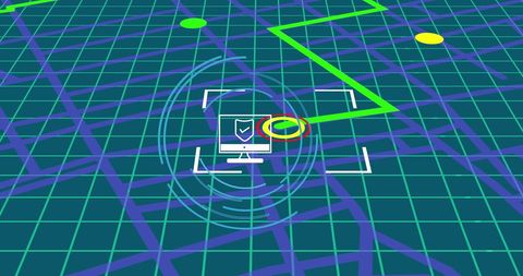
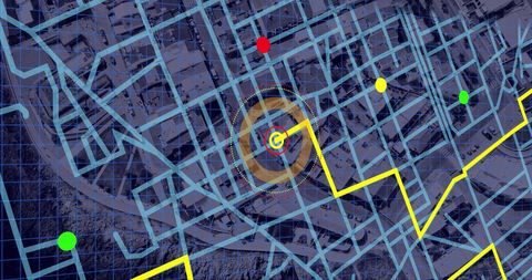
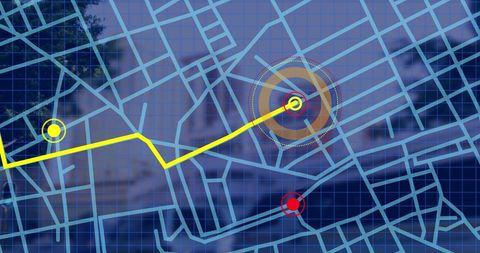
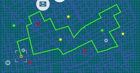
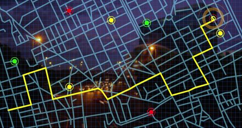
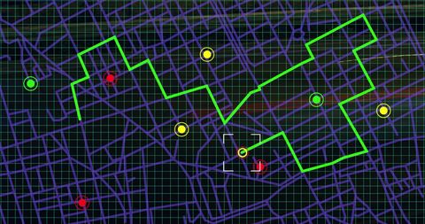
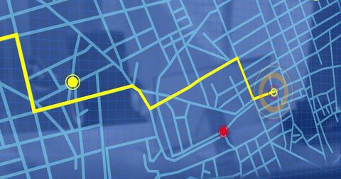
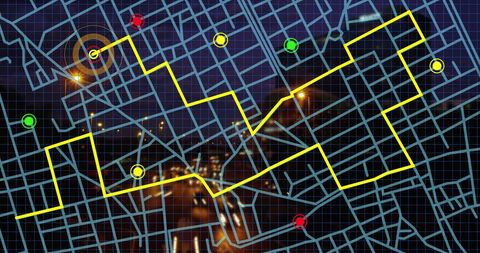
- City Map Navigation Overlay with GPS Tracking Path
City Map Navigation Overlay with GPS Tracking Path Image
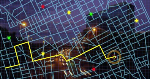
Technology and transportation executives could utilize this visual for projects about urban planning. The mix of a night-time cityscape coupled with clear GPS indicators flawlessly exemplifies real-time tracking, navigational schemes, and pathfinding. Bright, eye-catching & characterized by localized accuracy, it efficiently serves in interpretation manuals or promotional executions related to smart transportation solutions.
Powered by  - Get 15% off with code: PIKWIZARD15


downloads
Tags:
More
Credit Photo
If you would like to credit the Photo, here are some ways you can do so
Text Link
photo Link
<span class="text-link">
<span>
<a target="_blank" href=https://pikwizard.com/photo/city-map-navigation-overlay-with-gps-tracking-path/e028c0785be8edd32d08028d580c62d8/>PikWizard</a>
</span>
</span>
<span class="image-link">
<span
style="margin: 0 0 20px 0; display: inline-block; vertical-align: middle; width: 100%;"
>
<a
target="_blank"
href="https://pikwizard.com/photo/city-map-navigation-overlay-with-gps-tracking-path/e028c0785be8edd32d08028d580c62d8/"
style="text-decoration: none; font-size: 10px; margin: 0;"
>
<img src="https://pikwizard.com/pw/medium/e028c0785be8edd32d08028d580c62d8.jpg" style="margin: 0; width: 100%;" alt="" />
<p style="font-size: 12px; margin: 0;">PikWizard</p>
</a>
</span>
</span>
Free (free of charge)
Free for personal and commercial use.
Author: People Creations
Similar Free Stock Images

Premium

Premium

Premium


Premium


Premium


Premium


Premium


Premium

Premium


Premium
Premium


Premium


Premium


Premium


Premium
Premium


Premium
Premium


Premium


Premium

Premium


Premium
Premium

Premium


Premium


Explore More Free Stock Images